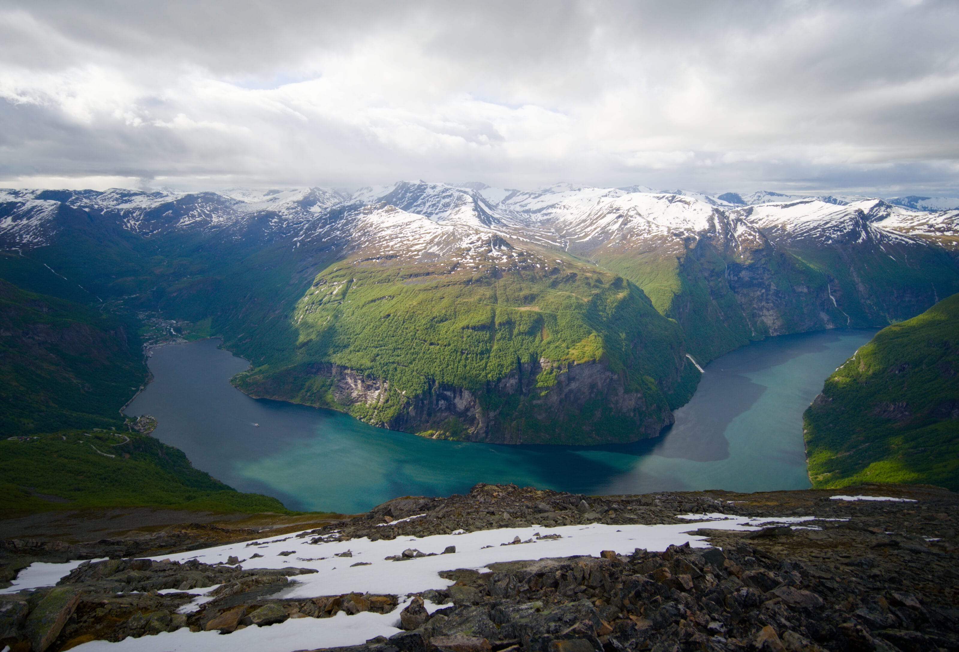
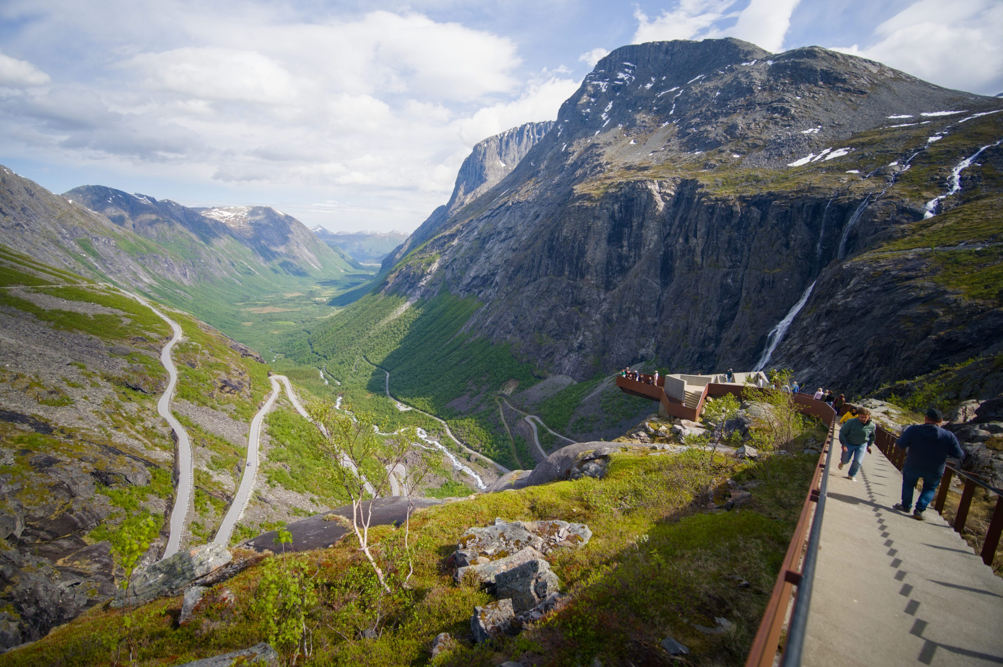
After climbing up to Rampestreken and taking in the breathtaking views along the magnificent Trollstigen road, we lingered a bit in the hills above Geiranger to hike and enjoy the incredible scenery that the Geirangerfjord has to offer. It’s worth noting that the Geirangerfjord is a UNESCO World Heritage Site because it’s considered one of Norway’s most beautiful fjords, with its cliffs rising over 1,400 meters high, its numerous waterfalls (such as the famous Seven Sisters waterfall) and rivers.
So, while looking for a nice viewpoint over the Geirangerfjord, I came across Mount Geitfonnegga, which rises 1,453 meters above the fjord’s final bend before Geiranger. I hesitated a bit between this and the nearby summit of Laushornet (1,501 m), whose hike passes by the Storsæterfossen waterfall, but as they say, you can’t always do everything 😉 (I’ll still give you some info on that hike below, though).
After discovering Lake Møllsvatnet the day before, I set out early in the morning (we had slept in our van on the hills above Geiranger) from the same parking lot to hike to the summit of Geitfonnegga.
Geitfonnegga: Practical and Logistical Information
- Distance: 7.8 km round trip from the parking lot
- Elevation gain: 850 m of ascent and descent
- Duration: 3–5 hours, depending on your pace
- Difficulty: Difficult because the trail is quite steep, there is a river that is tricky to cross (in the spring, at least), and the final stretch to the summit is more of a scree slope than a trail
- Parking: There is a large, free parking lot at the start of the hike, at the top of the zigzag road after the tunnel on the right when coming from Geiranger.
Hike Map (+ GPX)
My Experience on the Geitfonnegga
The hike starts off gently, following a track that then turns into a trail, leading to a few houses with a view of the village of Geiranger below. This is also where you’ll reach the first fork in the trail and begin the serious climb to the right toward Geifonnegga (if you continue straight ahead, you’ll reach a viewpoint overlooking the Gjerdefossen waterfall; more info here).
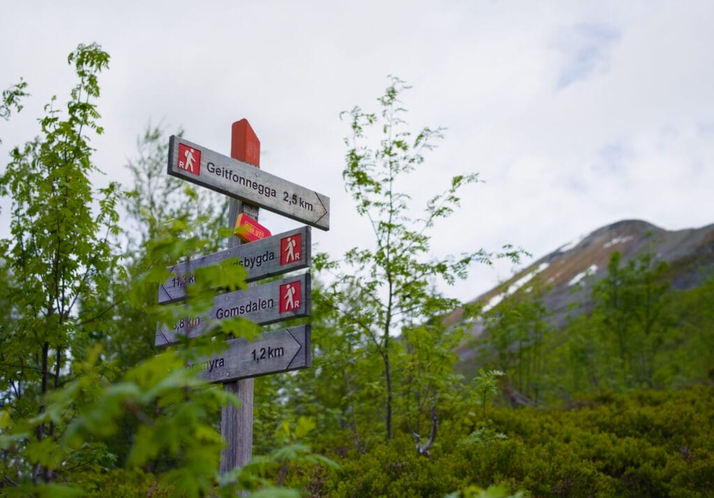
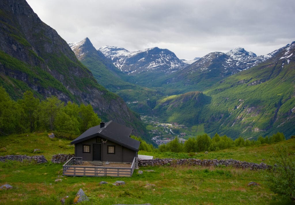
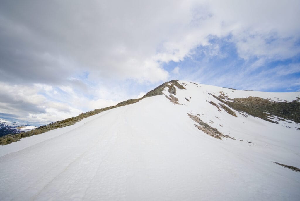
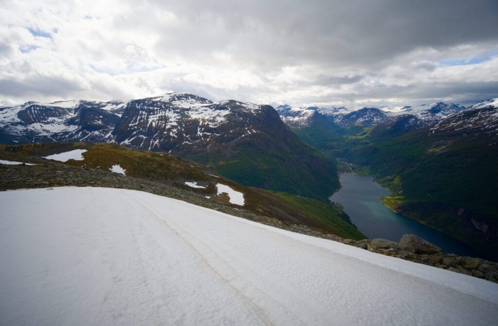
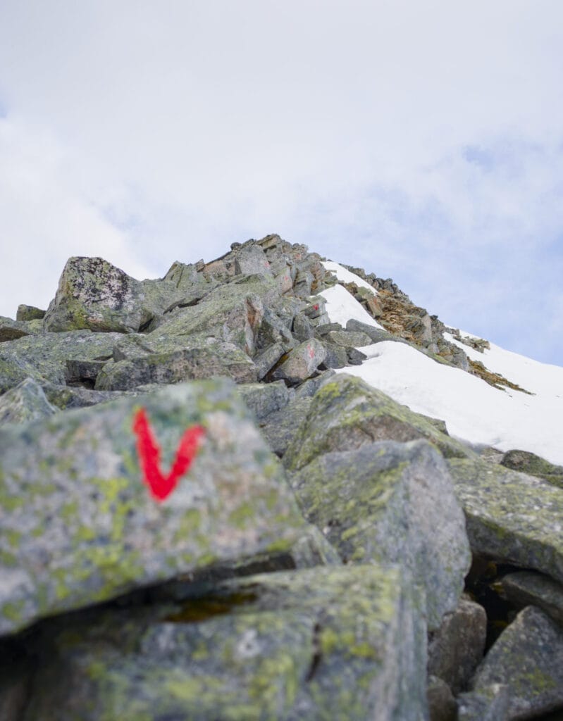
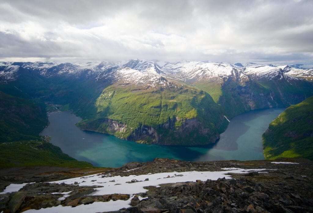
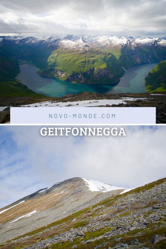
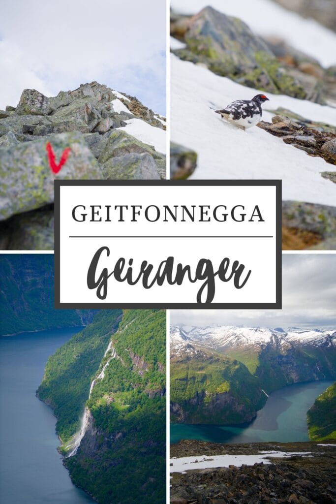
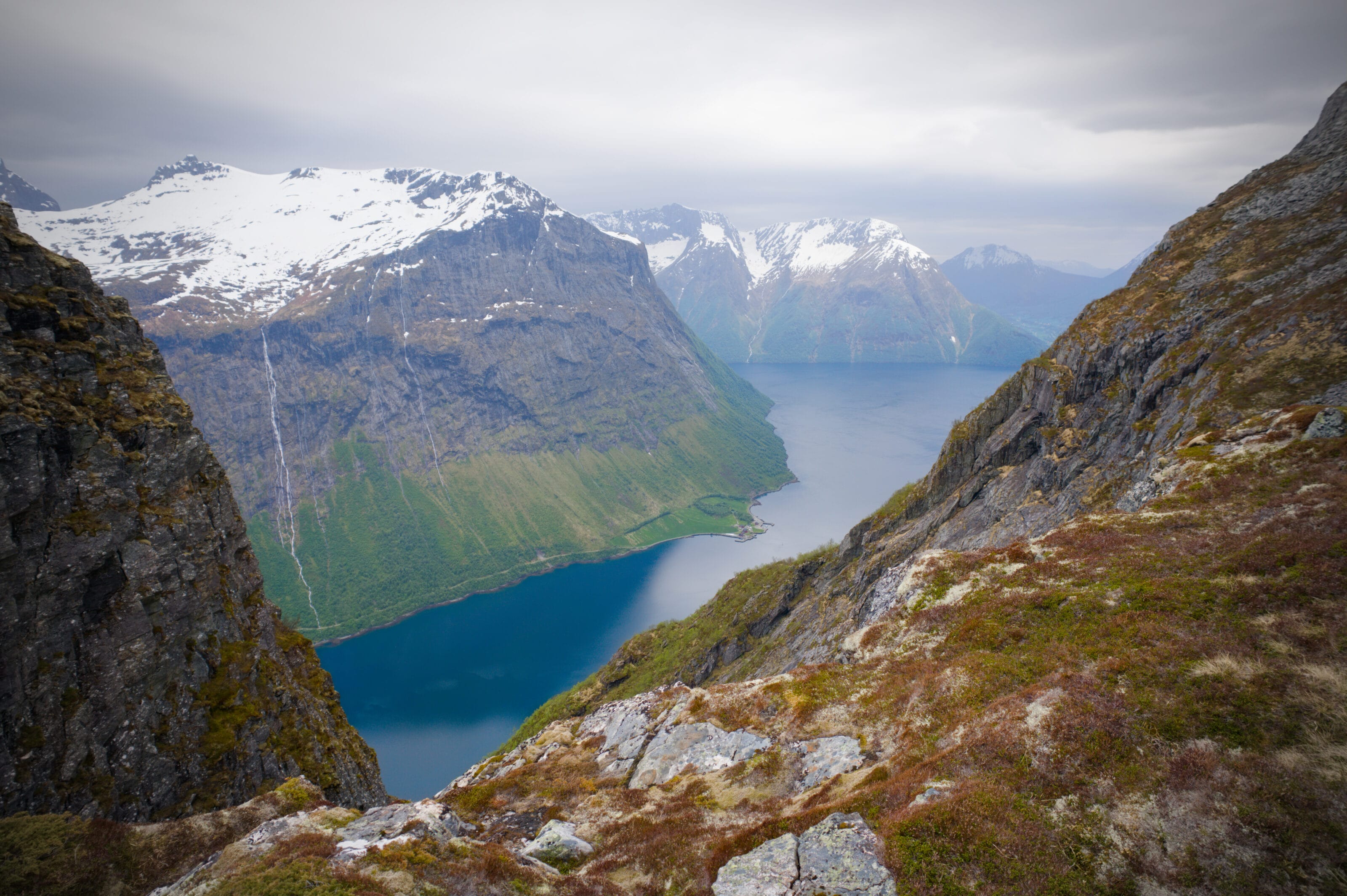
No more fooling around! It’s time to tackle the climb 😉 . The trail starts off pretty good (muddy though, as is often the case in Norway 😉 ) and then passes through rockier sections where the path is marked by red “V” signs painted on the rocks. But the higher we climb, the more the view opens up over the Geirangerfjord below. I’m lucky, the sun is out for now. On one side, I can see the end of the fjord with the village of Geiranger, and on the other, the Seven Sisters waterfall. Above me, I can see the summit of Geitfonnegga and its ridge, which still looks quite snow-covered.
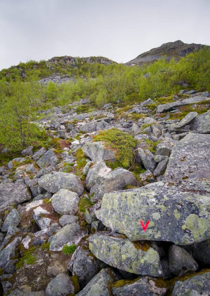
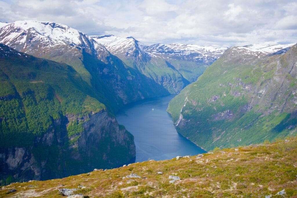
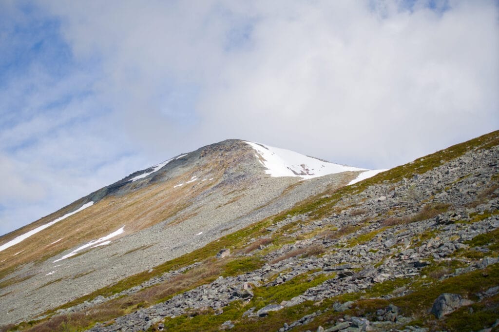
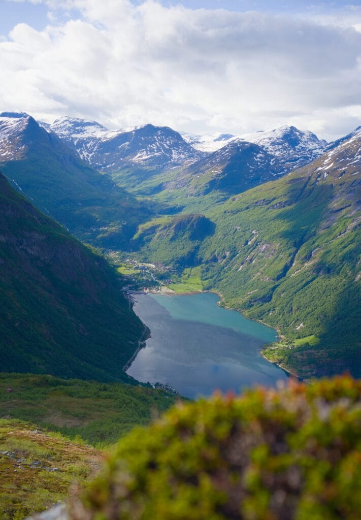
After a steeper stretch over rocky terrain, I reached a small plateau with quite a bit of snow still, but where the main challenge was crossing a river that was running high in early June (it’s certainly easier later in the season). I really struggled to cross it while trying to keep my feet dry… luckily I’d worn my heavy hiking boots and not my lightweight trail running shoes 😉
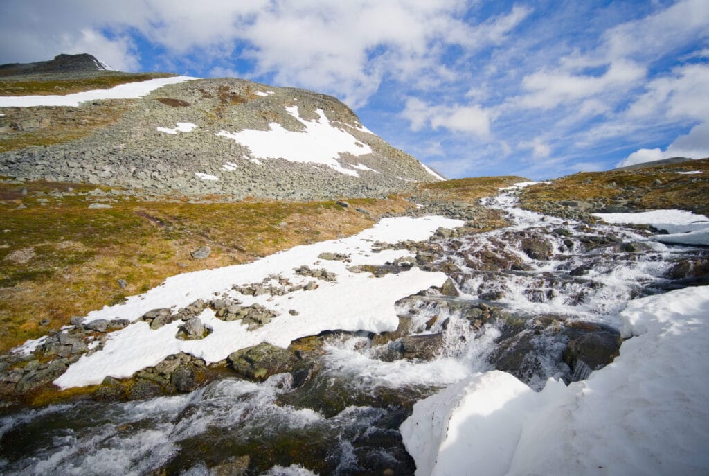
Once on the other side, the rest of the hike is mostly a fairly steep scree slope all the way to the summit. I first reach the summit ridge, which is still quite snowy (but the snow is hard, so I don’t sink in too much), and make my way to the summit from rock to rock, following the red markers. If you’re used to this kind of terrain, it’s no big deal, but don’t expect an easy trail to follow 😉 .
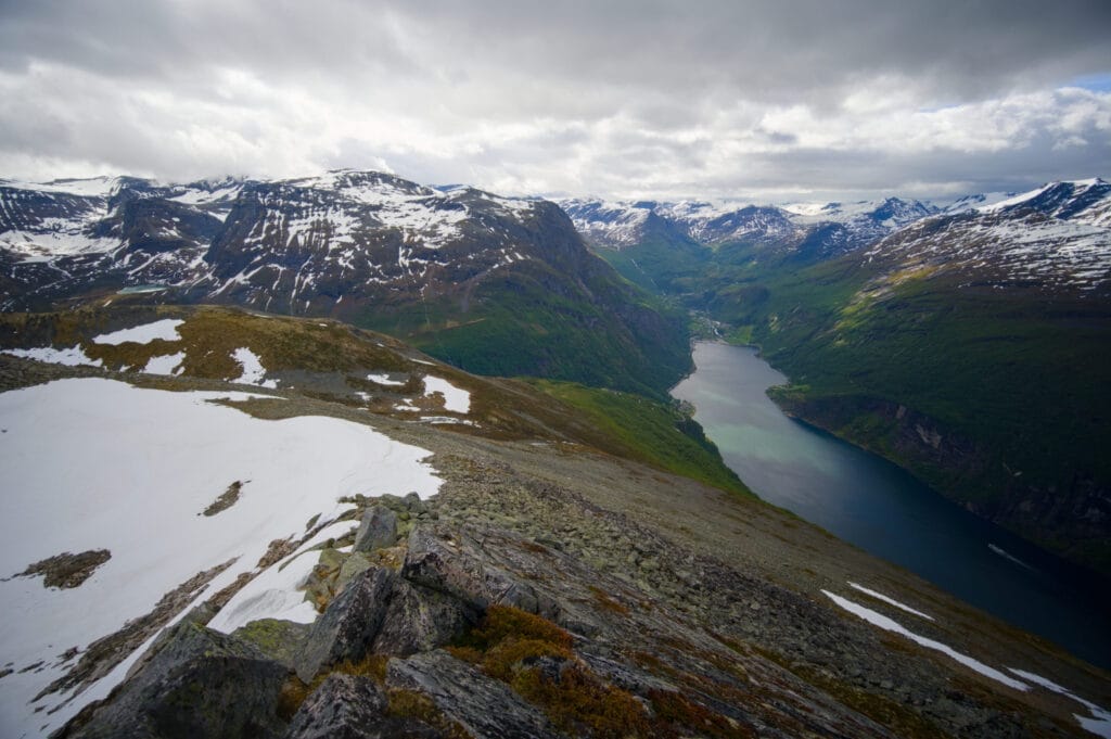
On the other hand, once I reached the summit, I was rewarded with a simply breathtaking panoramic view of the Geirangerfjord below and all the surrounding mountains. I’ll let you decide if it’s worth the climb based on these few photos 😉 (even though the weather was starting to take a serious turn for the worse by the time I reached the top… so I didn’t stick around for long)
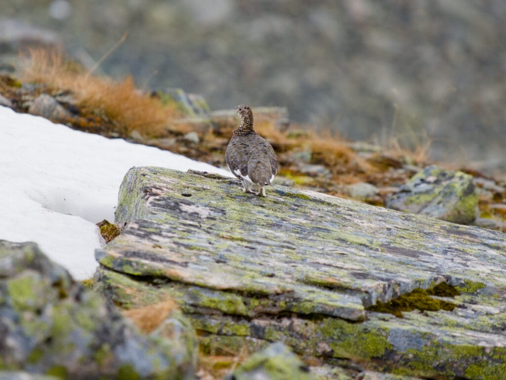
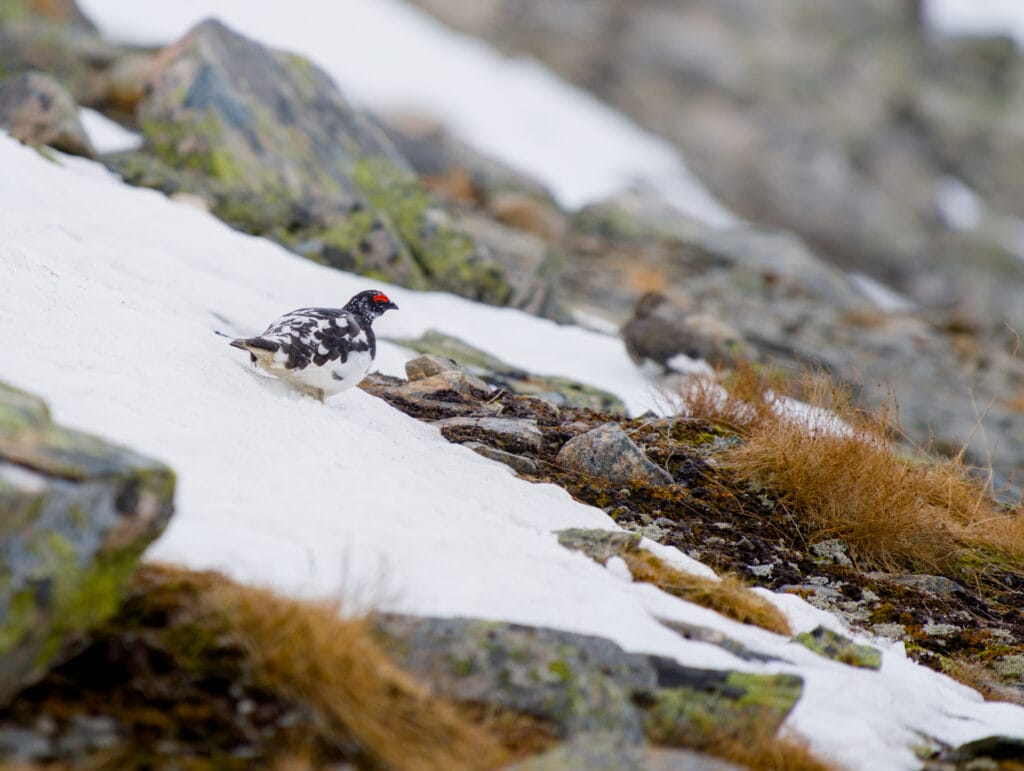
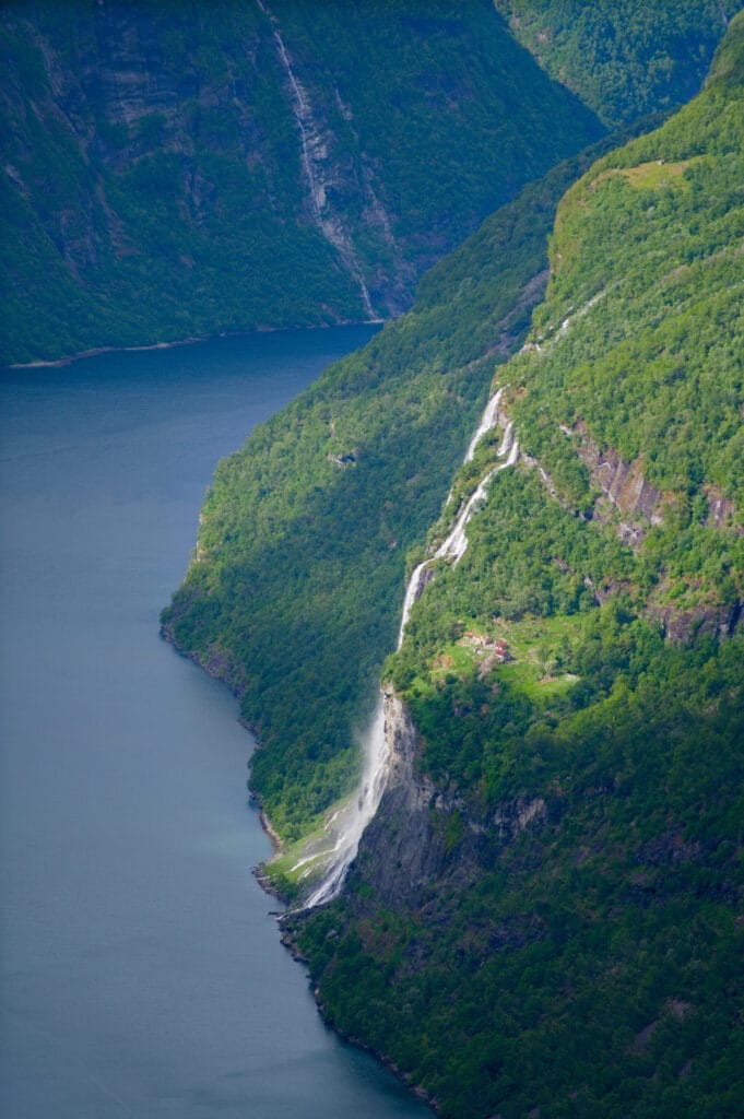
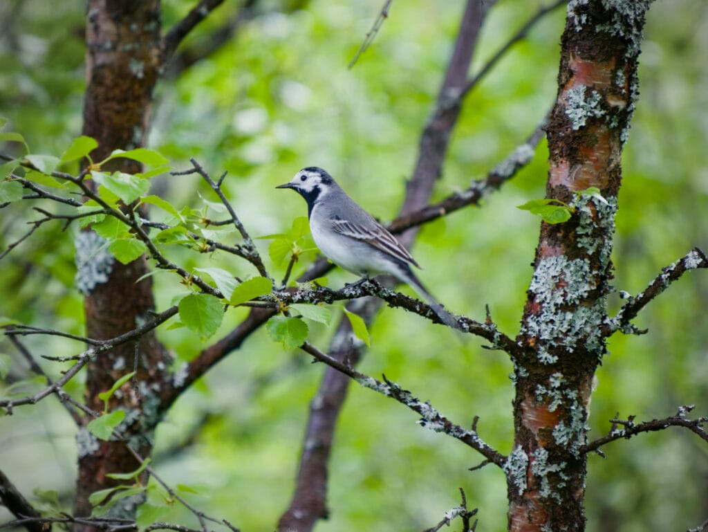
All that’s left for me to do is head back down the same path I took on the way up. Just below the summit, I come face to face with a few ptarmigans that aren’t very shy, and I have plenty of time to take pictures of them. After crossing the river again without taking a tumble, I take advantage of another break in the clouds to admire the view of the Seven Sisters waterfall (which we’ll explore more closely the next day).
It took me about 3 hours to make the round trip, picking up the pace a bit, and I got back to the van right on time for my morning coffee. But if you take your time, plan on a 4- to 5-hour hike.
Other Hikes in the Area
There are, of course, plenty of other hikes to do in the Geiranger area. Here are a few more ideas
Lake Møllsvatnet
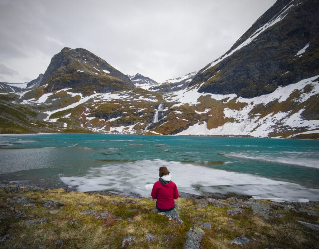
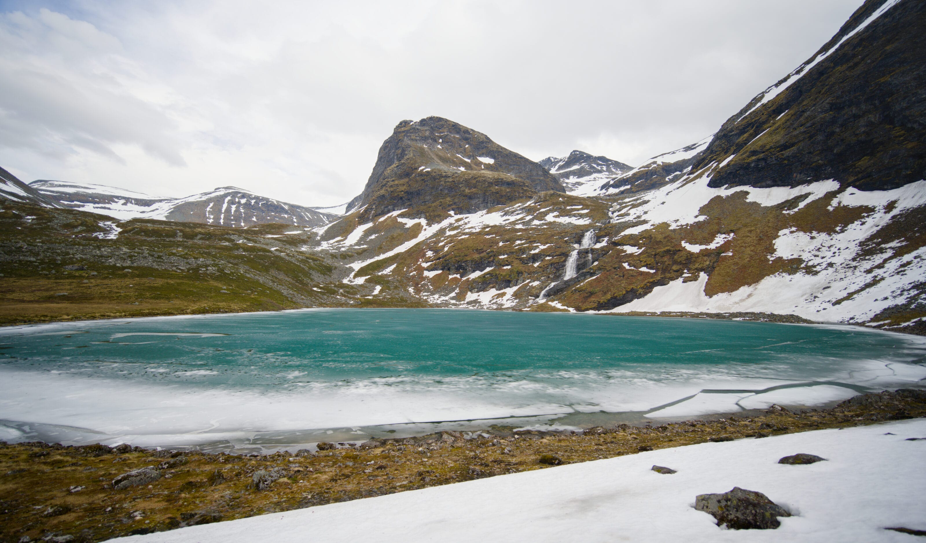
A nice, fairly easy hike to a beautiful mountain lake that starts from the same parking lot as the Geitfonnegga hike. For more details, check out our article on this hike.
The Laushornet (and the Storsæterfossen Waterfall)
I hesitated quite a bit about going on this hike, but since there are so many hikes to do around Geiranger and I’d already climbed to the summit of Geitfonnegga, I finally decided not to do it. But the view from the summit looks absolutely stunning, and the hike also passes by the Storsæterfossen waterfall, which looks really cool, especially since the trail goes right behind the waterfall. I’ve included the map and the GPX file below in case you’re interested:
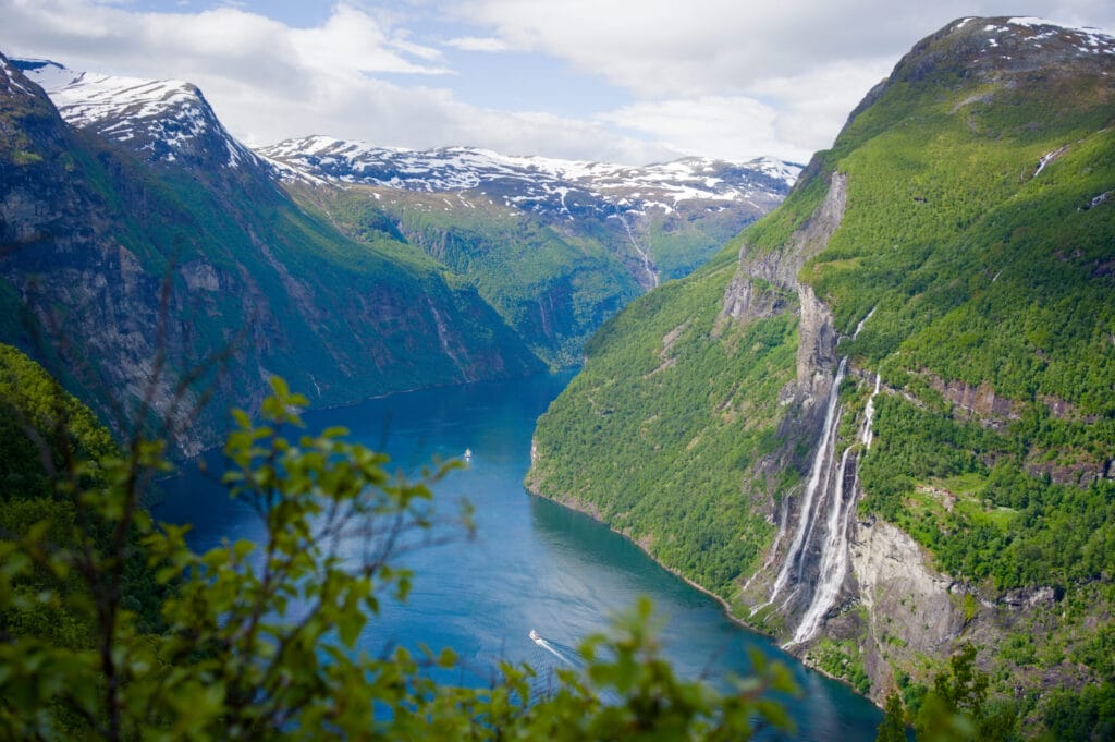
The Seven Sisters Waterfall (one-way by boat, return on foot)
It’s one of the most popular hikes in the region, and it’s easy to see why. You’ll be dropped off by boat right in front of the waterfall to hike up to the historic Homlongsætra farm and back to Geiranger. Throughout the hike, you’ll enjoy magnificent views of the Seven Sisters Waterfall. But we’ll tell you all about that soon in an upcoming post!
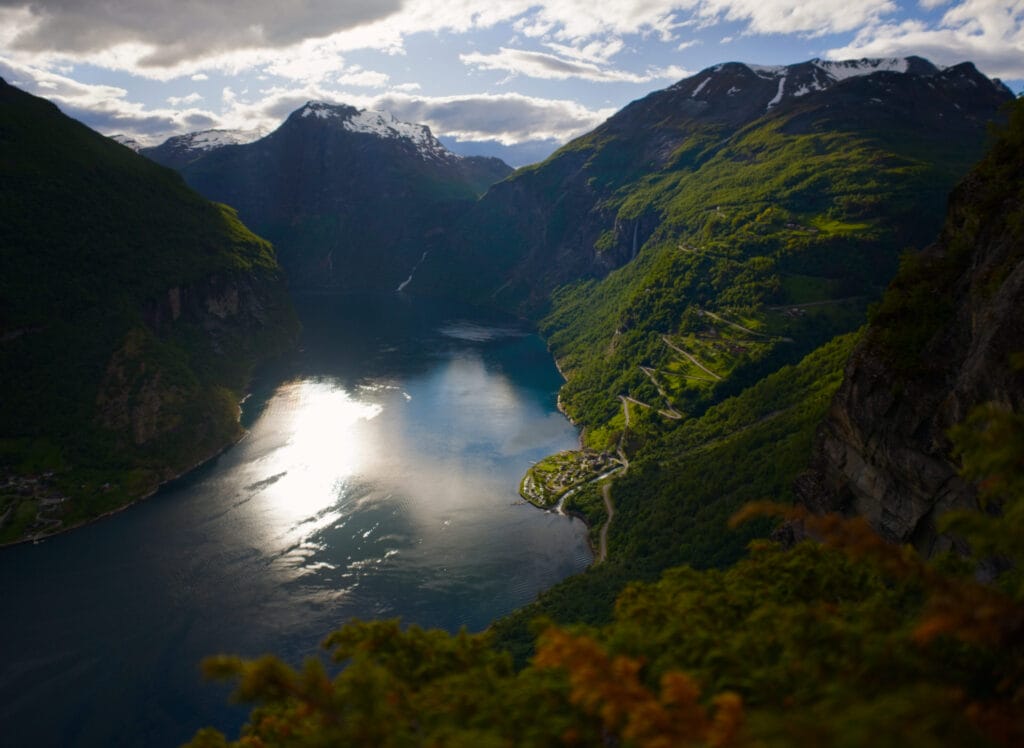
Løsta (viewpoint overlooking the Geirangerfjord)
Finally, a nice little walk we took one evening at sunset for a little picnic with a view. We’ll tell you all about that in detail in an upcoming post, too 🙂
Pin to Pinterest


Join the discussion