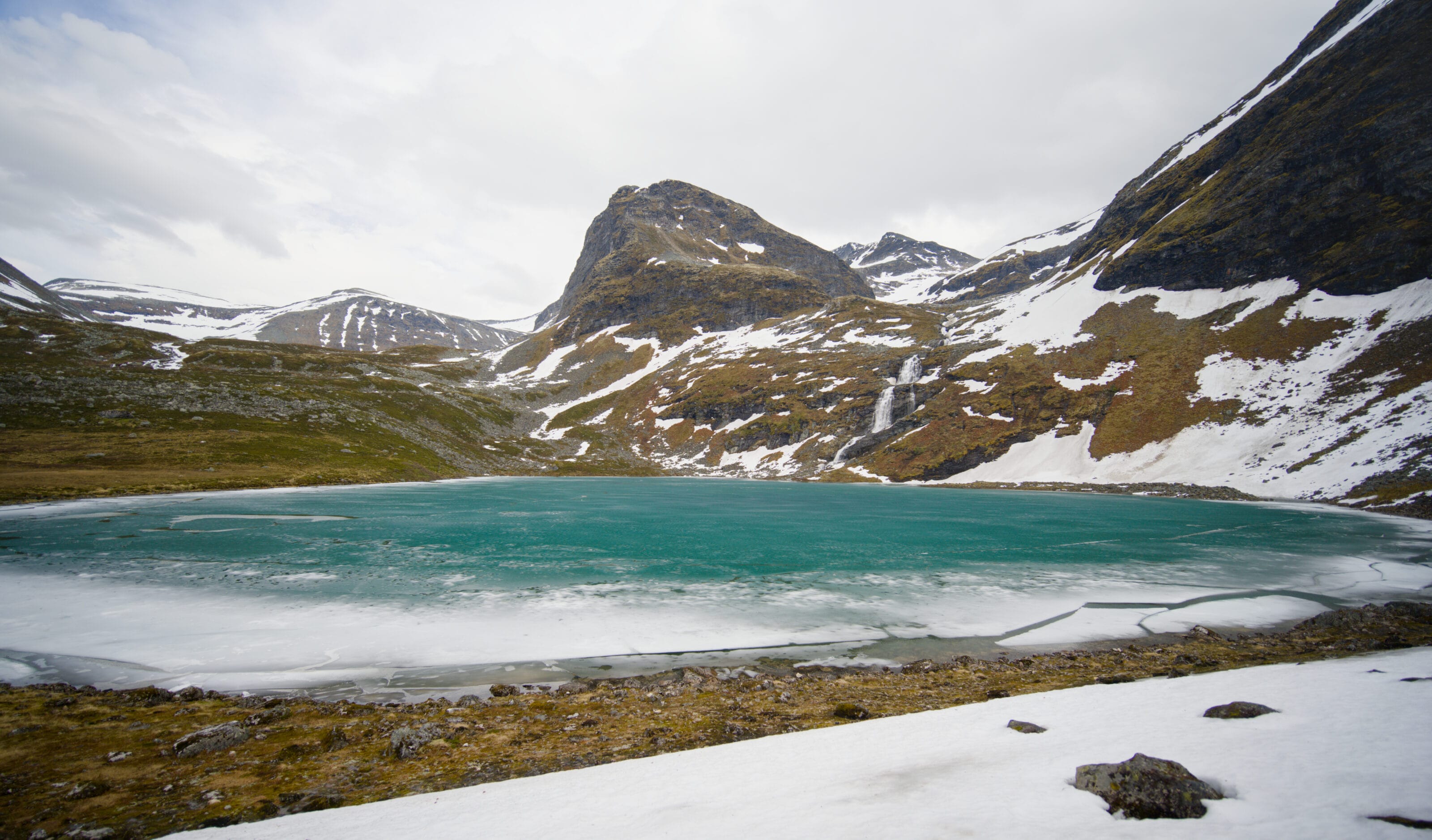
Today we’re sharing a short article about a lovely hike near Geiranger, Norway: Møllsvatnet Lake. This trail is one of the easier hikes in the Geirangerfjord region and is accessible to most people. What’s in store on this hike? Beautiful flowers, lush vegetation, and above all, a mountain lake with crystal-clear waters! Ready to come along?
The hike starts at the Korsmyra lookout point
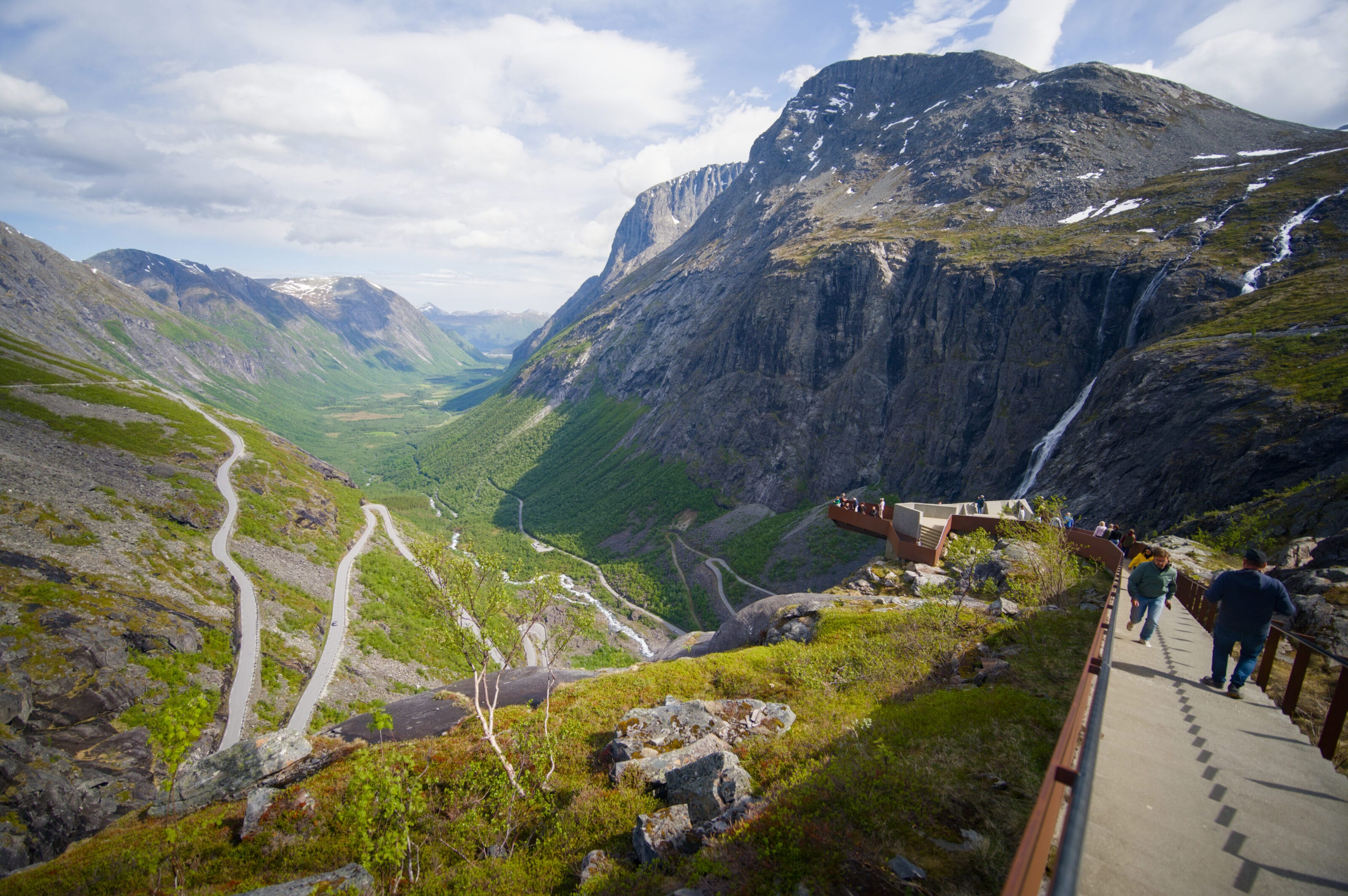
We arrived in the hills above Geiranger after following the Trollstigen Road. To learn more about this magnificent driving route, we recommend checking out our article. Our goal was to reach Geiranger, but we wanted to go on a few hikes in the hills before getting there. The route we’re telling you about today, as well as the summit of Geitfonnega, which Benoit will tell you more about very soon.
In short, rather than heading straight down to Geiranger, we took advantage of being in a van to spend the night up in the hills. It’s important to note that the official parking lot for the hike doesn’t allow overnight parking, but you’ll find plenty of authorized spots a few kilometers further along the old road (most travelers now take the tunnel, so there’s very little traffic on this stretch).
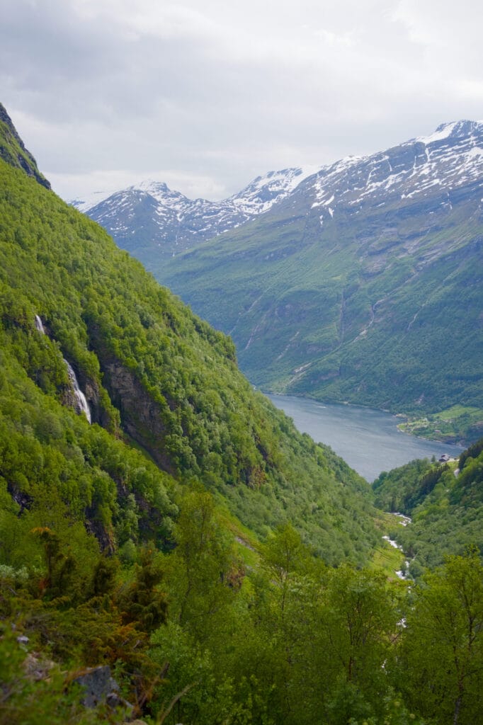
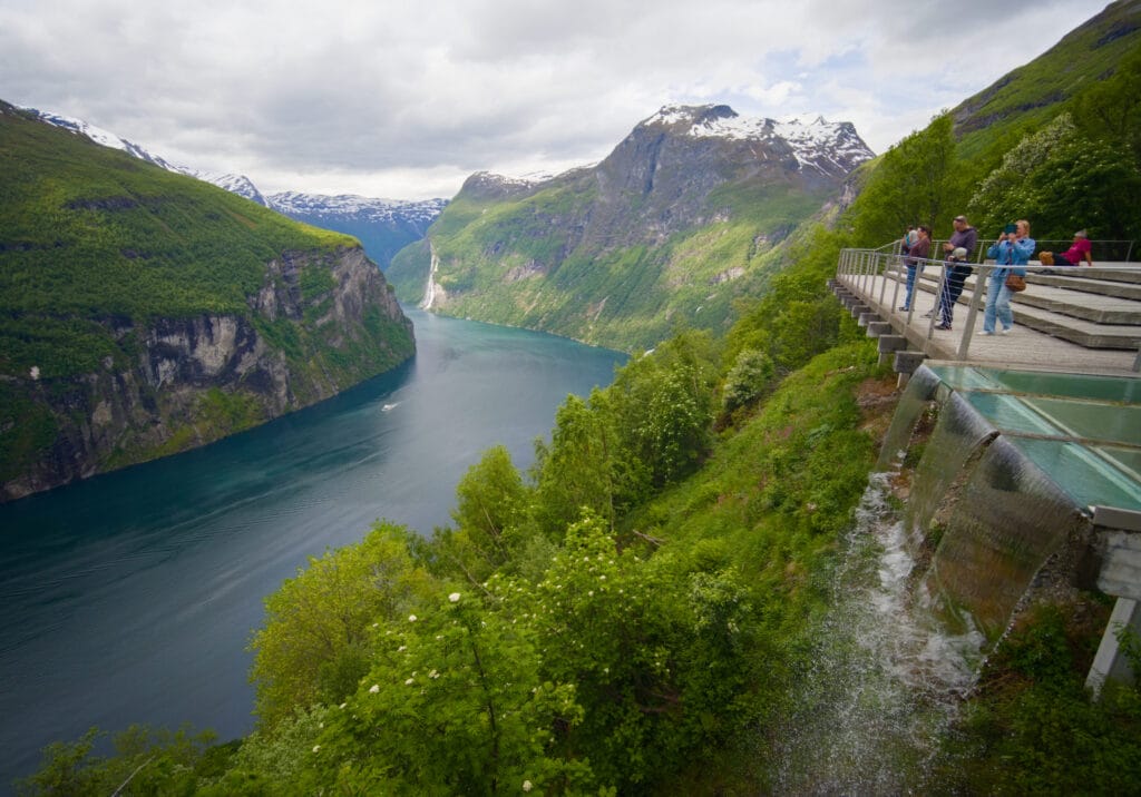
At the Korsmyra parking lot, we started by enjoying our first view of the Geirangerfjord on this trip. I don’t think this viewpoint is the most “impressive” in the region, but there are picnic tables, and it’s a good place to stop for a few minutes.
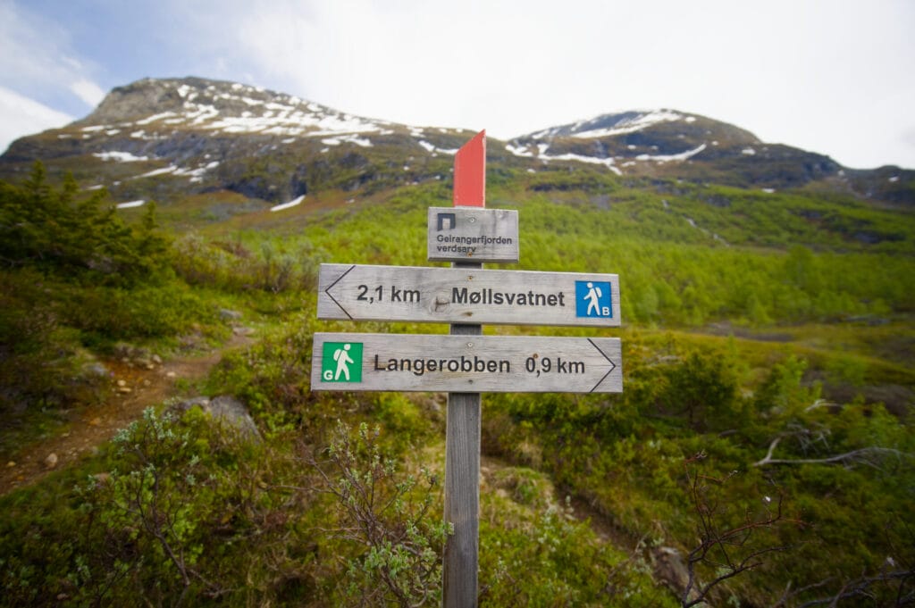
The trail starts right behind the parking lot, and you begin by following an old trail for about 500 meters.
Ascent via the trail
After 500 meters, you’ll come to a crossroads where you basically have two options:
- continue along the trail
- Turn right to cross a small bridge, then follow a trail up the valley.
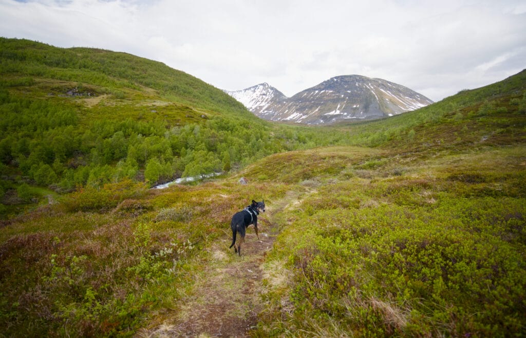
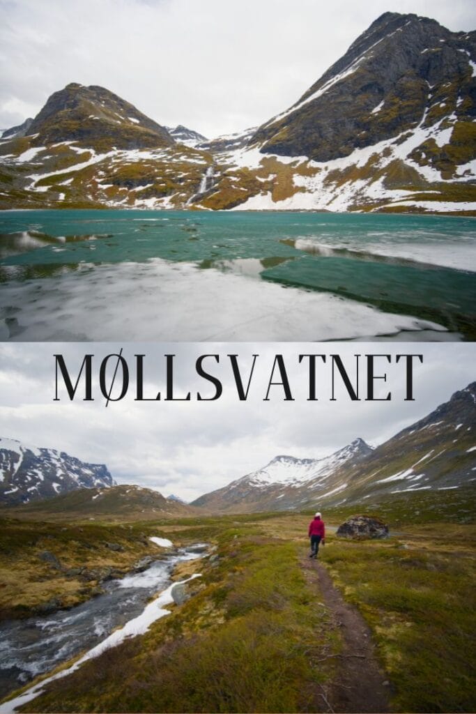
We opted for the second option, and that choice turned out to be a very wise one in terms of the views and scenery. But we have to admit that you’d better be prepared to get your feet a little wet. The trail is fairly well-trodden, which means it’s practically impossible to get lost; however, I wouldn’t go so far as to say it’s particularly well-maintained. We found ourselves several times in somewhat marshy areas where we half-heartedly tried to step on rocks to keep our feet dry. But our acrobatics didn’t do much good, since some sections were so wet that we had little choice but to “just wade right through them.” Gore-Tex shoes weren’t much help either, since we often sank in and water seeped into the shoes from the top. 😉 In short, our feet got soaked on the way up, but the views more than made up for it.
It’s actually funny, because this route is really quite different from the other hikes we’ve done in Norway. We were all alone in the world, and even though we were very close to Geiranger, there’s a truly wild side to this little valley.
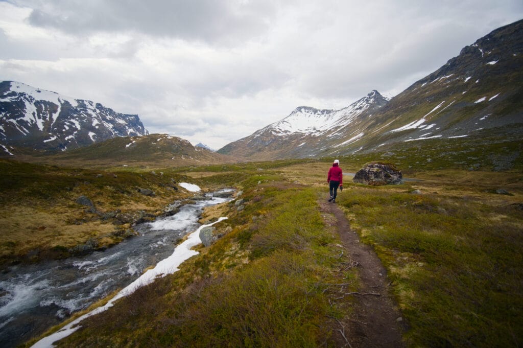
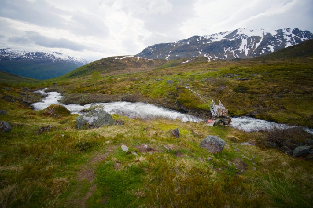
Lake Møllsvatnet
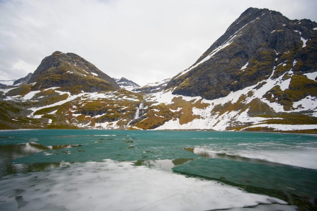
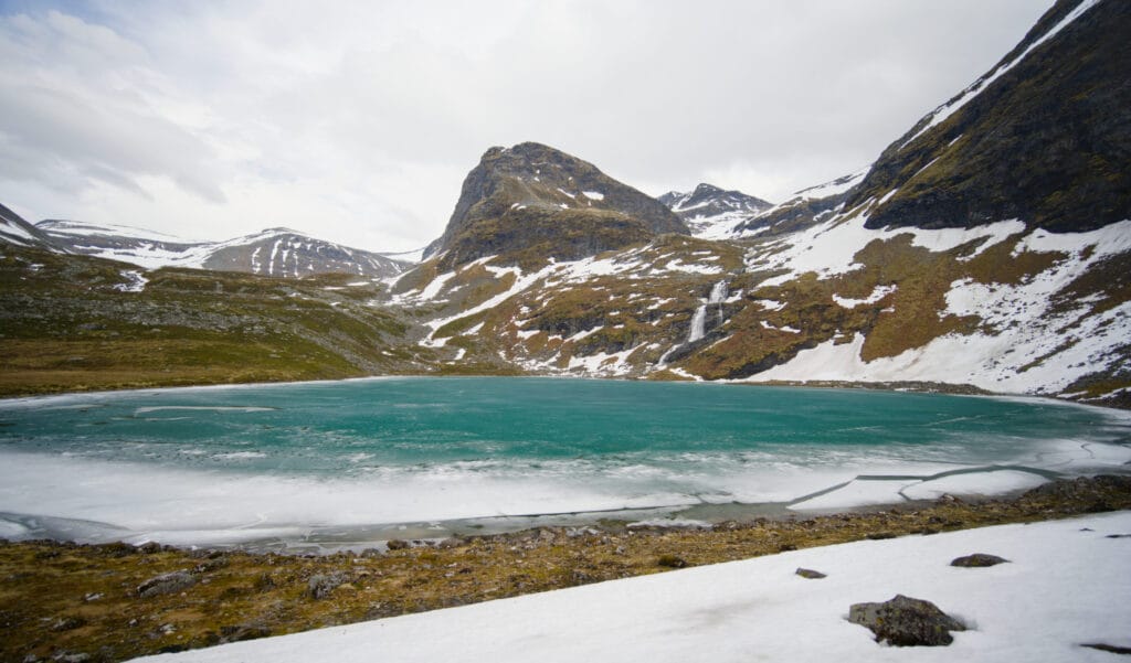
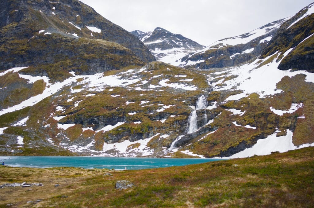
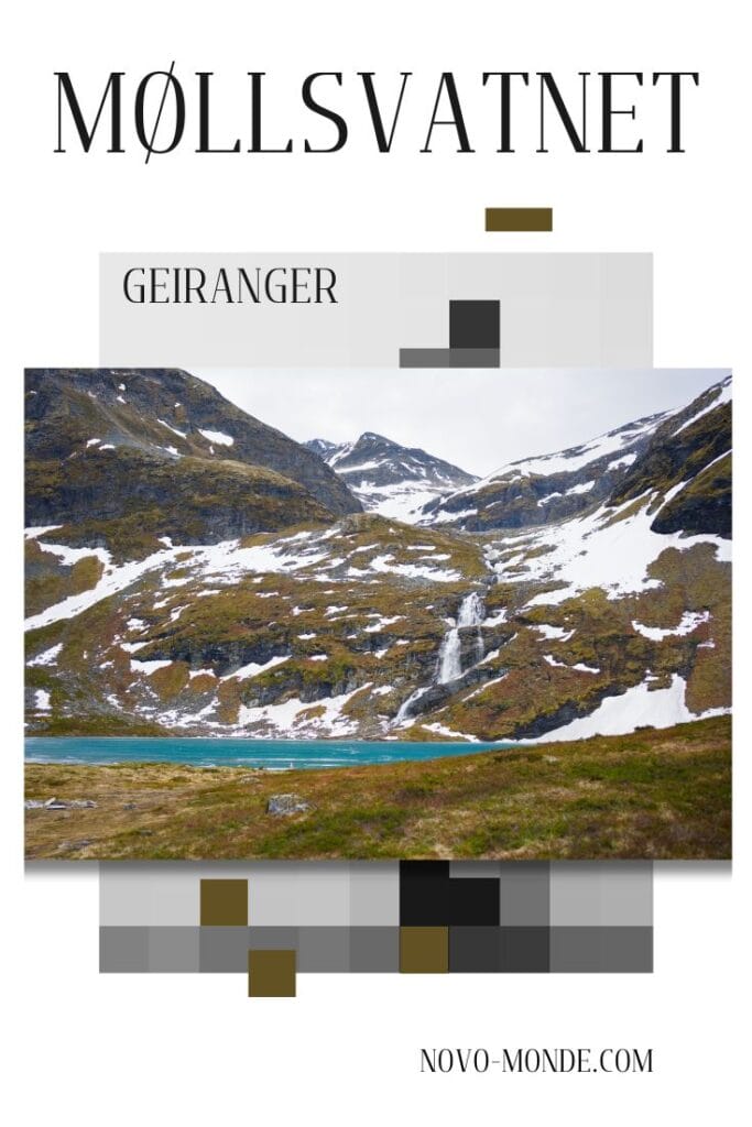
Once we arrived at the lake, we were in awe! And believe us, we’re used to seeing mountain lakes back home, but for some reason, we didn’t expect such beauty! Since we came here in early June, we were lucky enough to see the lake still partially frozen! With the waterfall cascading into it, the scenery was truly incredible. You immediately understand why this little hike is so special: just a few kilometers from Geiranger, you find an absolutely incredible mountain landscape—and best of all, not a soul in sight! Here, you just want to sit down for a few minutes and enjoy the silence.
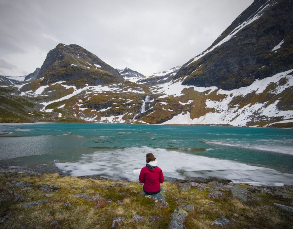
But let’s be honest, the wind was strong enough to knock the horns off a bull, so we didn’t stick around any longer than it took to snap a few photos… Norwegian weather is truly a “science of its own.” One minute you’re walking around in a T-shirt, sweating buckets, and the next minute you’re pulling on your jacket and hat and shivering!
Return to the parking lot via the trail
For the return trip, we decided to follow the route that largely follows the old trail leaving the Korsmyra parking lot. This alternative allows you to hike a loop and avoid retracing your steps for the entire route—but let’s be honest, it also helps keep your feet drier. If you decide to go on this hike in rainy or damp weather, I think it’s wiser to take the trail both ways (or else be prepared to end the day with soaked feet). 😉
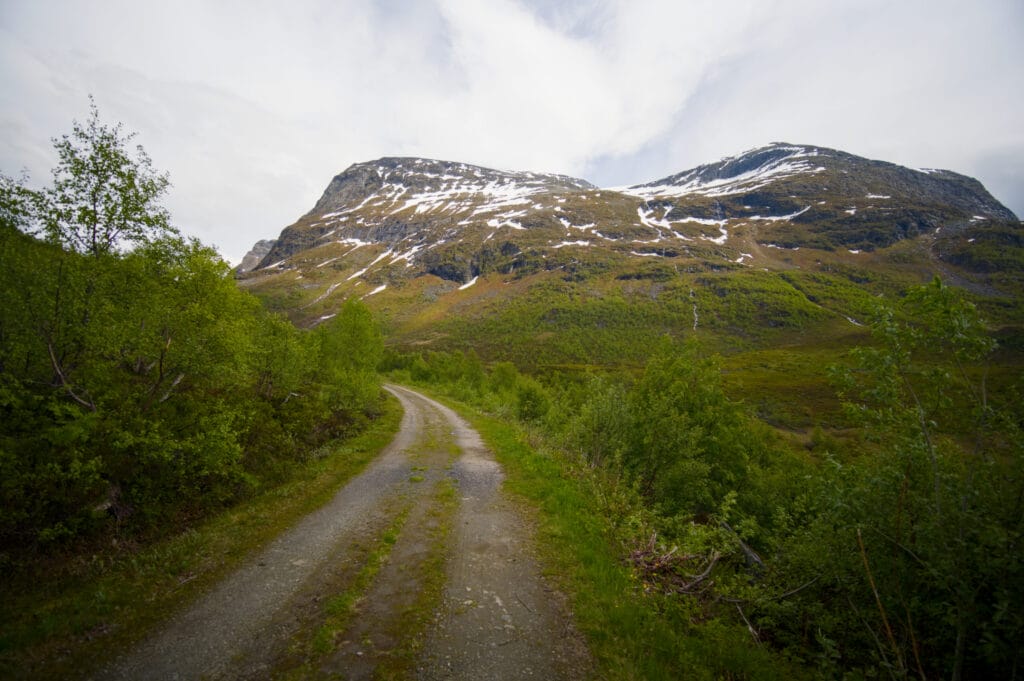
The route that follows the trail is about the same distance, but since the terrain is much easier, this option is much faster.
Practical Information for the Møllsvatnet Hike
This hiking trail is near Geiranger and is truly ideal if you’re looking for a beautiful route that isn’t too difficult. We did it as a late-afternoon stroll, but it’s also a wonderful hike to do with the family—be sure to pack a picnic to enjoy by the lake. In total, the hike is less than 6 km with an elevation gain of about 280 m. As mentioned in the article, you can do a loop (which we recommend), but you can also hike there and back along the same path. The trail option is the “easiest,” while the footpath is obviously better for getting a closer look at the abundant local flora and fauna.
The hike starts at the Korsmyra parking lot, along the old road between Geiranger and Eidsdal. Parking there is free (rare enough to be worth mentioning in the Geiranger area). 😉 From Geiranger, it’s about a 15- to 20-minute drive along the winding road toward Eidsdal. On your way to the hike, you can also stop at the Ørnesvingen viewpoint (right by the road, 3 minutes before the trailhead).
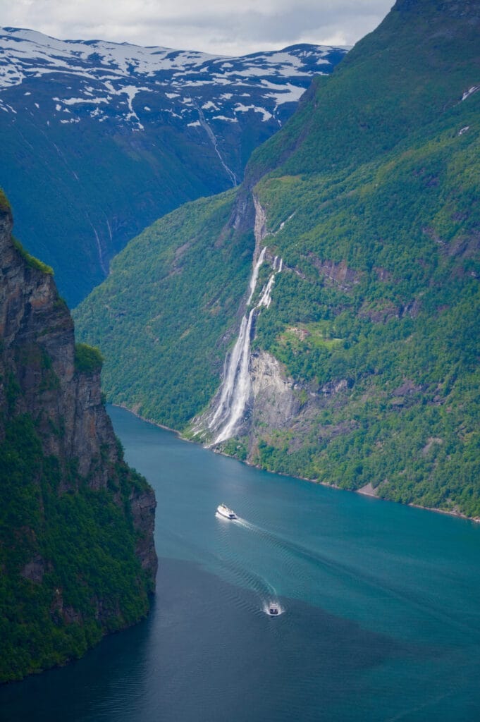
Here is the map of the Møllsvatnet hike:
As for the best time to take this hike, it really depends on the year. But generally speaking, the trail is accessible from May through October. We came here in early June, and as you can see in the photos, the lake was still partially frozen (though there was absolutely no snow left on the trail). To see the abundance of flowers, it’s best to aim for mid-June and July.
Well, that’s all for today. We’ll see you very soon with more hiking ideas around Geiranger.

Join the discussion