Since August 2024, a new officially marked trail leading to the Gross Bigerhorn has become accessible to hikers without specialized equipment. Standing at 3,625 meters, it now claims the title of the highest hike in Europe! As we’re currently staying at the Alpiness coliving, we took the opportunity to conquer this giant of the Valais Alps. The effort is intense, but the panoramic views are well worth a few sore muscles! Here’s our practical guide to prepare for your next ascent of the Bigerhorn.
Details of the Bigerhorn ascent
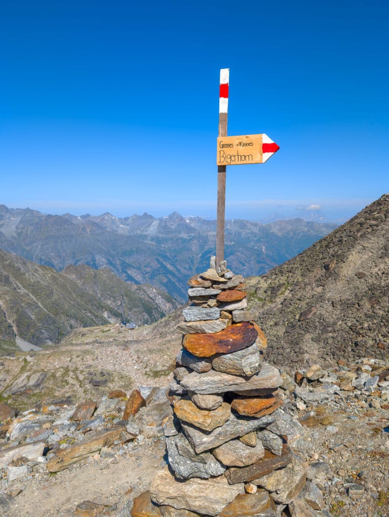
Yes, it’s true! The title of the highest hiking trail in Europe no longer belongs to the Barrhorn but to the Gross Bigerhorn. Only 15 meters separate these two peaks, both accessible via a red-and-white marked trail without the need for mountaineering gear. The Bigerhorn had been on our radar for a while, but after researching our journey, we discovered that the Gross Bigerhorn has a little brother: Klein Bigerhorn. And since reaching it only adds a 400-meter round trip, the opportunity was too good to pass up. After all, we were already facing a total of 2,000 meters of elevation gain and loss, so why not summit two peaks in one go?
Bigerhorn trek at a glance
- Location: Valais, between the valleys of Zermatt and Saas, Switzerland
- Summits: Gross Bigerhorn, 3,625 meters (and Klein Bigerhorn, 3,182 meters)
- Length: 18 km round trip, passing by the Bigerhorns
- Duration: 3 h 45 min estimated for day 1, 2 h 30 min from the hut to the Bigerhorn, 5 h to descend
- Elevation gain: 2,000 m ascent and 2,000 m descent
- Hike difficulty: T3, challenging due to the elevation gain and the various scree fields where surefootedness is essential.
Note: Check the weather forecast before planning your ascent. We recommend not attempting the hike in rainy conditions, as the scree would become very slippery, complicating your hike.
Map and GPS track for the Bigerhorn ascent
To assist with your ascent, here is the map and GPS track available for download here.
Duration and difficulty of the Bigerhorn ascent
We completed the hike in 2 days: 1 to reach the Bordierhütte SAC from Gasenried, and 1 to reach the Gross and Klein Bigerhorn and return to Gasenried. We’re not ultra-experienced hikers in mountainous terrain, but we are seasoned hikers. As you’ll read below, this ascent is no walk in the park! The vast majority of the trail consists of scree fields, of varying sizes. If you’re used to less rugged trails with less elevation gain, I suggest doing it over 2 days and spending a night at the hut. Doing the ascent in one day is definitely reserved for the very fit!
However, we can put the difficulty into perspective. We encountered people of all ages on the trail, from a 10-year-old girl to older hikers aged 65-70. On the morning of the ascent, we even met a roughly 70-year-old hiker descending from the Bigerhorn without trekking poles while we were still at the foot of the scree leading to the summit. Seeing him, I thought, “If he can do it, so can I!” It motivated me for the climb, even if I don’t have the physical condition of the Swiss, and I realized this on the way back. The descent was a different story, and I think the return was the most challenging part.
The Bordierhütte SAC
Description
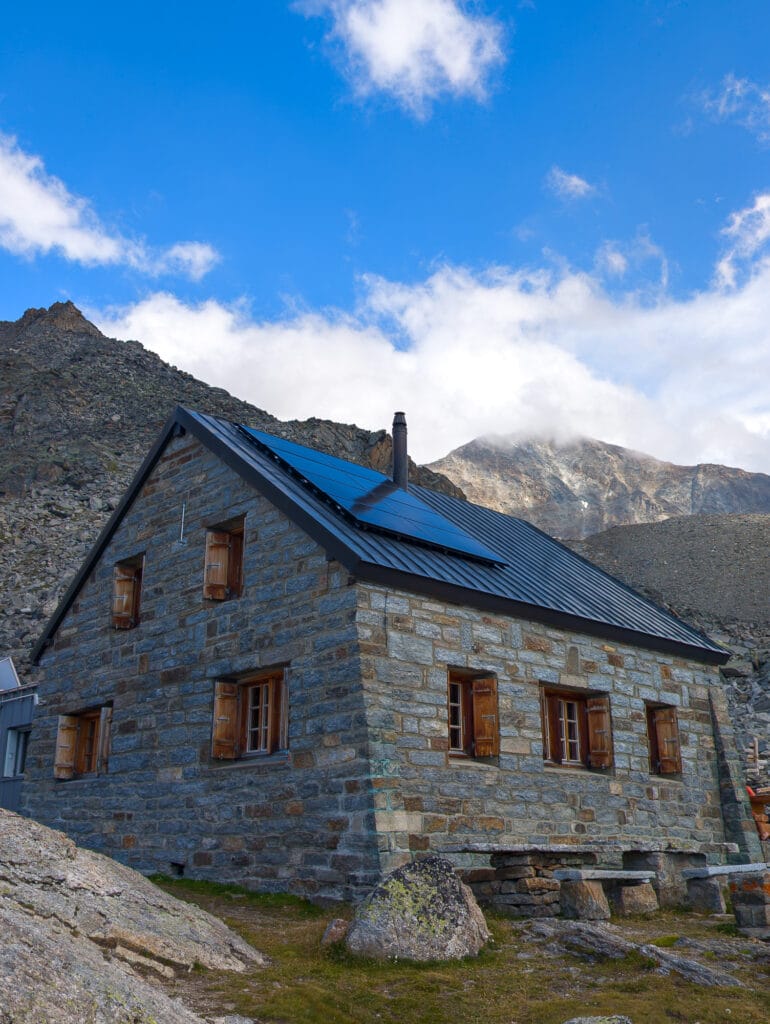
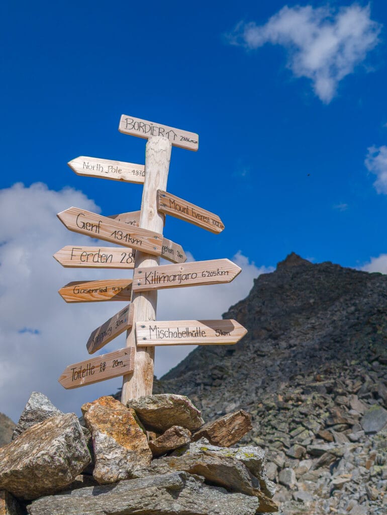
We stayed overnight at the Bordierhütte SAC at 2,886 meters above sea level. It is staffed from June to September, but you can still camp there for the rest of the year by booking. As this was our first hut stay, we don’t have a point of comparison. However, we were delighted by this alpine night. The welcome was warm, and the staff was friendly. Everything is well-organized for storing your backpack and shoes. There are even Crocs available if you want some slippers. The facilities consist of dry toilets and large washbasins, everything is clean and practical. There are large outdoor tables which offer a stunning view for enjoying a post-hike drink or simply relishing the panorama while resting. The hut can accommodate up to 44 people. At the end of August, there were about 20 of us, two-thirds alpinists and one-third hikers.
If you’re planning a trip to Switzerland or if you live here and wish to discover some new spots, don’t miss our new ebook. Released in May 2025, this 75-page guide will help you prepare for your upcoming stay in Switzerland. We’ve compiled all our best tips and tricks for visiting our beloved little country without breaking the bank. You’ll find advice on transportation, accommodations, where to shop, as well as a list of free activities and events throughout the seasons, along with our personal recommendations for hikes and must-see spots, and a selection of off-the-beaten-path itineraries (with estimated budgets). This ultra-complete guide also includes a fantastic interactive map featuring over 500 addresses and deals.

To learn more about the ebook and the interactive map, the introductory article is available here.
Organization and price
For meals, dinner is served at 6:30 p.m. and includes soup, salad, a main course, and dessert. We were lucky because the food was really good. The quality varies from hut to hut; other colivers had much more basic meals.
Breakfast is served at the time you choose the evening of your arrival from three options: 2:00 a.m. (yes, some alpinists start early), 4:00 a.m., or 7:00 a.m.
The price is a bit high for non-Swiss. A half-board night costs 92 Swiss francs, 50 francs for meals, and 42 francs for accommodation. Ouch! But it’s the standard price, and we’re happy to support such projects. However, 12 francs for two large glasses of Rivella before descending is a bit much!
Equipment for the Bigerhorn ascent
We each carried a 50-liter backpack, but in hindsight, everything would have fit into a 30-liter bag. We recommend bringing:
- 2 one-liter water bottles, with at least one filter bottle (the water at the Bordierhütte SAC is not drinkable);
- 1-2 meals (lunches);
- snacks;
- sunscreen;
- trekking poles;
- multiple layers of clothing;
- convertible hiking pants;
- a silk liner or sleeping bag liner;
- spare underwear;
- toothpaste and toothbrush;
- a USB cable (chargers are available).
Our sleeping bag took up a lot of space, but since there’s a quilt and pillow in each sleeping space, a silk liner is enough.
Getting to the starting point in Gasenried
The Bigerhorn is located in the Mischabel massif, in the canton of Valais, near the town of Visp. There are many connections from Geneva, Bern, and Zurich; check the transport options and schedules here. From Les Haudères, we took a bus to Sion, then a train to Visp, a bus to St. Niklaus, and a final bus from St. Niklaus to Gasenried (Dorfplatz stop). Usually, a train runs between Visp and St. Niklaus, but recent storms damaged the tracks. Therefore, two buses shuttle instead. If you have a car, you can park in the village’s parking lot.
Day 1: from Gasenried to the hut
Arrival in Gasenried
The alarm goes off early because the first bus to Sion leaves Les Haudères at 6:30 a.m. In total, it takes us 3 hours by public transport to reach Gasenried. Although we’re still in Valais, the landscapes change as we progress toward the starting point. We’re still in Switzerland, but the chalets and even the pine trees create a different backdrop. Once we reach the Dorfplatz, which doubles as a parking lot in Gasenried, there’s no turning back. At 9:30 a.m., this is it!
Normally, there are toilets at the start of the hike, but we couldn’t find them. We ended up kindly asking the Alpenrösli Bed & Breakfast overlooking the square to use their bathroom. The toilets are actually located 300 meters further along the path.
Start of the ascent
First mission: find the beginning of the hike! Indeed, the entire trail has been redesigned. We found the old trail map online but not the new path. For now, we follow the signs pointing to the Bordierhütte SAC. On the paved road, we encountered our first animals less than a kilometer from the start. Goats were peacefully grazing in front of a white chapel. We learned at the hut that it was built by a pastor hoping the glacier would stop retreating at that point. Unfortunately, as we saw that evening, it has receded several kilometers since…
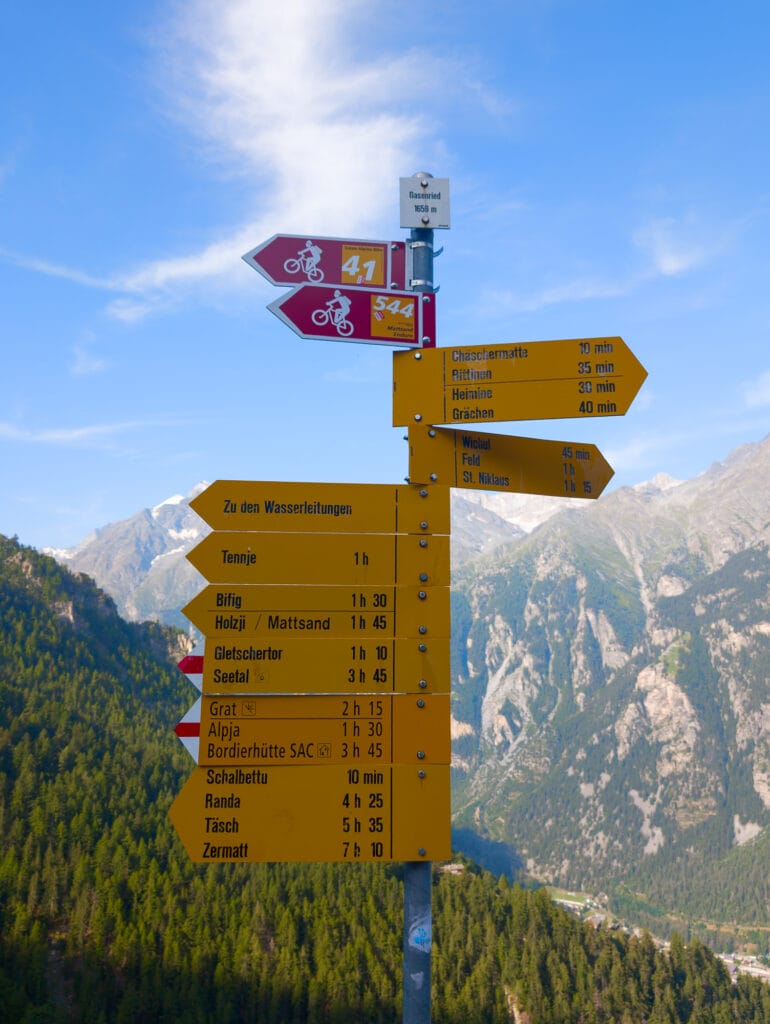
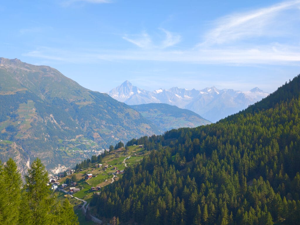
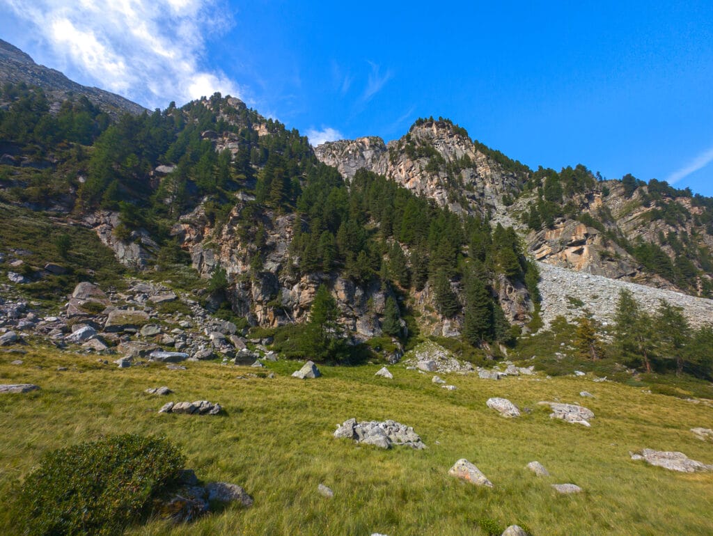
At the first junction, we hesitated about which path to take. We chose the right, but you should go left—that’s the new section. Eventually, we rejoined the proper trail and delved into the larch forest. It’s steep! After a while, we reached a clearing that offered a view of Gasenried. We thought we had climbed a lot, but we had only gained 200 meters in elevation.
Moving towards the glacier
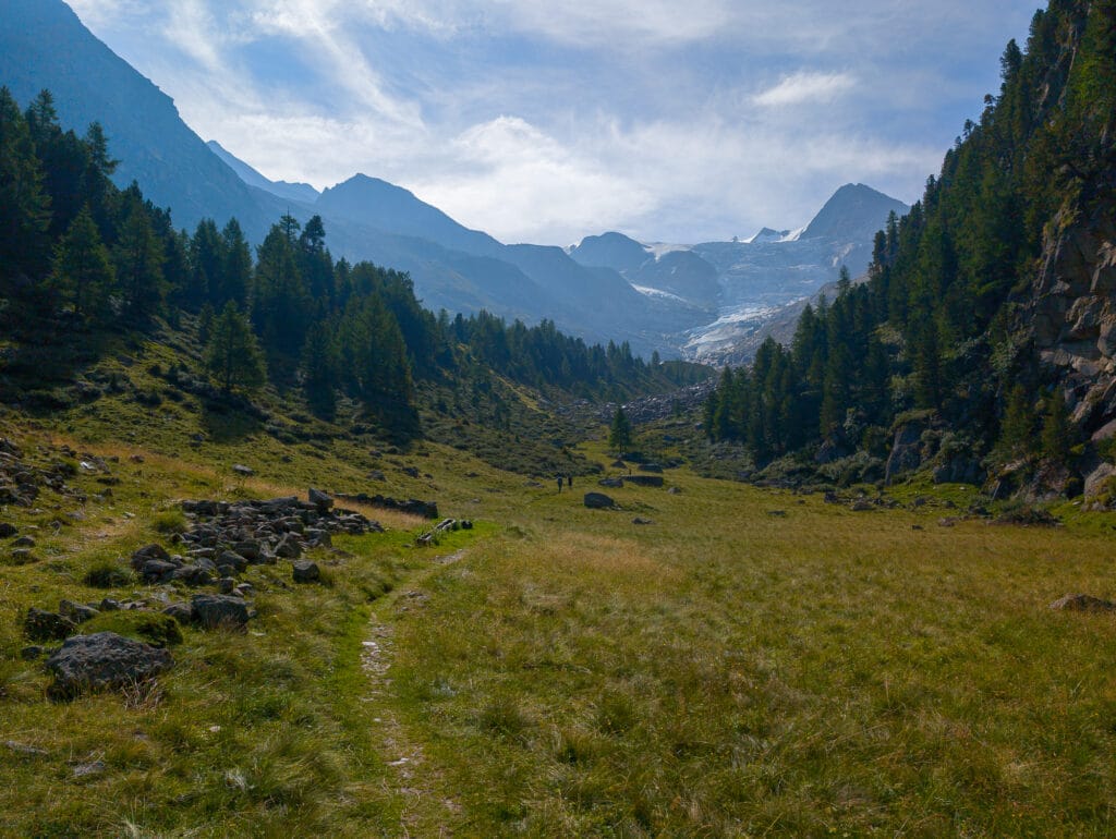
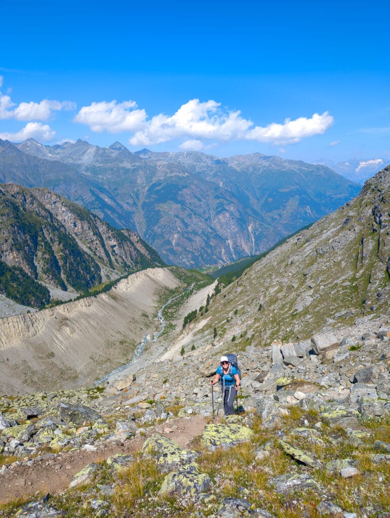
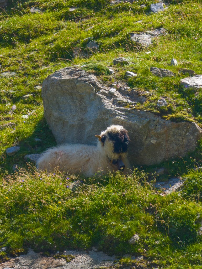
We continued through the pines for a while until we reached a plain—this is Alpja. In the distance, the glacier finally revealed itself. This moment of respite on relatively flat terrain was much appreciated. A cabin served as a place to rest or eat, but we preferred to keep going. The sound of bells accompanied us as we walked. We continue climbing on the right side of the valley, over rocks, following the Riedbach stream, which is formed by the Ried Glacier (Riedgletscher). The ringing of the bells grew louder, and we discovered the adorable Valais blacknose sheep resting in the shade of large boulders. But there was no time to admire them for too long—the path to the hut was still long.
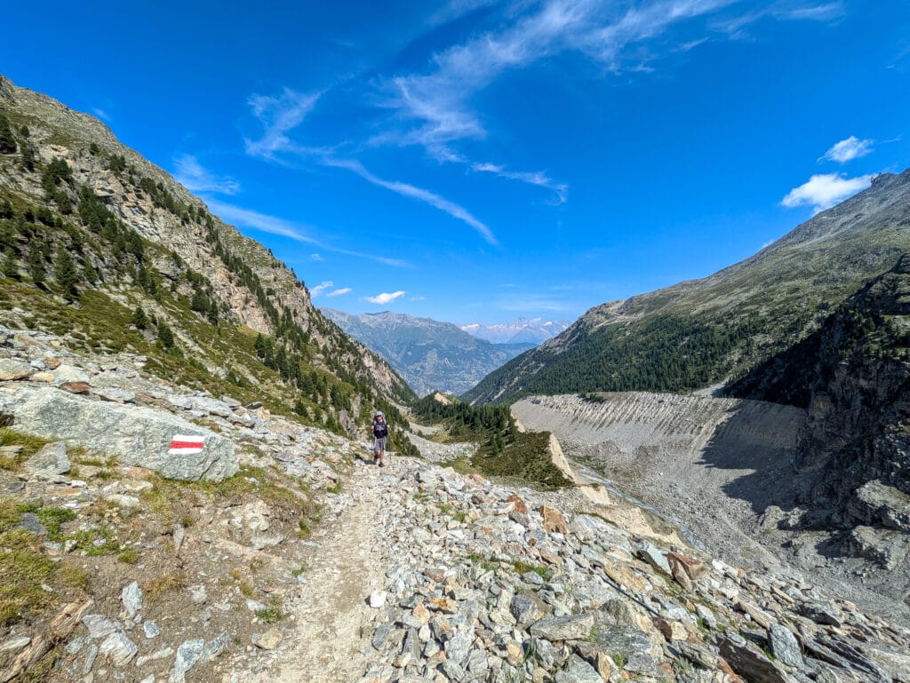
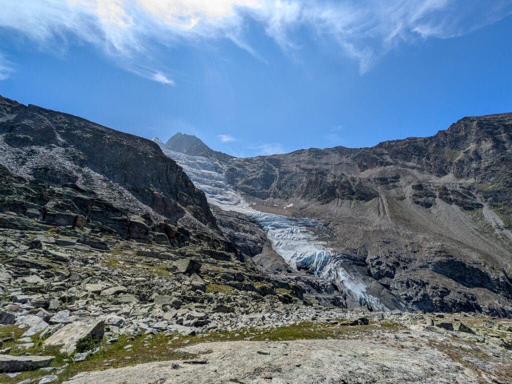
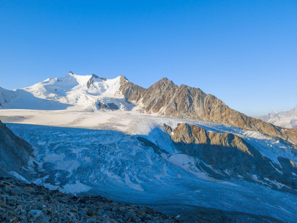
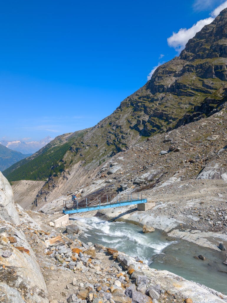
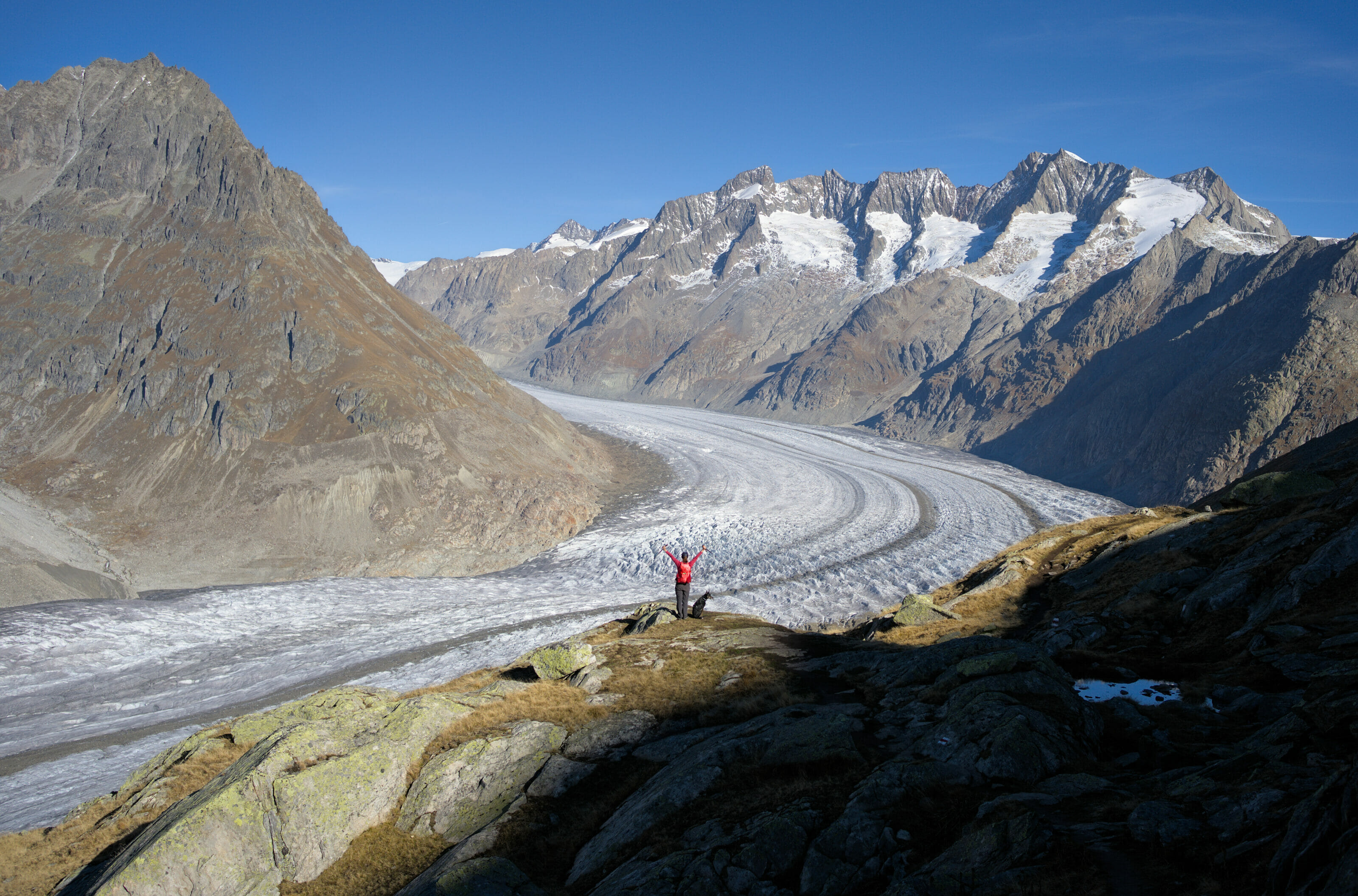
We passed the beginning of the old (now closed) trail (T4) that used to cross the glacier to reach the hut. The rocks on the trail were quite tiring. We found some relief on relatively flat terrain that descended into a dusty track. We stopped to assess the rest of the hike. OK, it descends to the blue bridge that crosses the Riedbach stream, but then it goes back up steeply. No doubt about it, there’s a lot of elevation gain! As we crossed the bridge, we noticed the impressive water flow and the retreat of the Riedgletscher, which had formed the moraine, the mass of rocks. We were at the foot of the immense glacier, feeling very small. After a short break, we resumed the climb. The landscapes were simply sublime, and our arrival at the refuge fueled us to keep going.
Arrival at the Bordierhütte SAC refuge
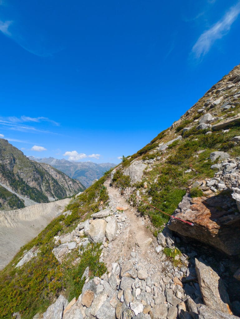
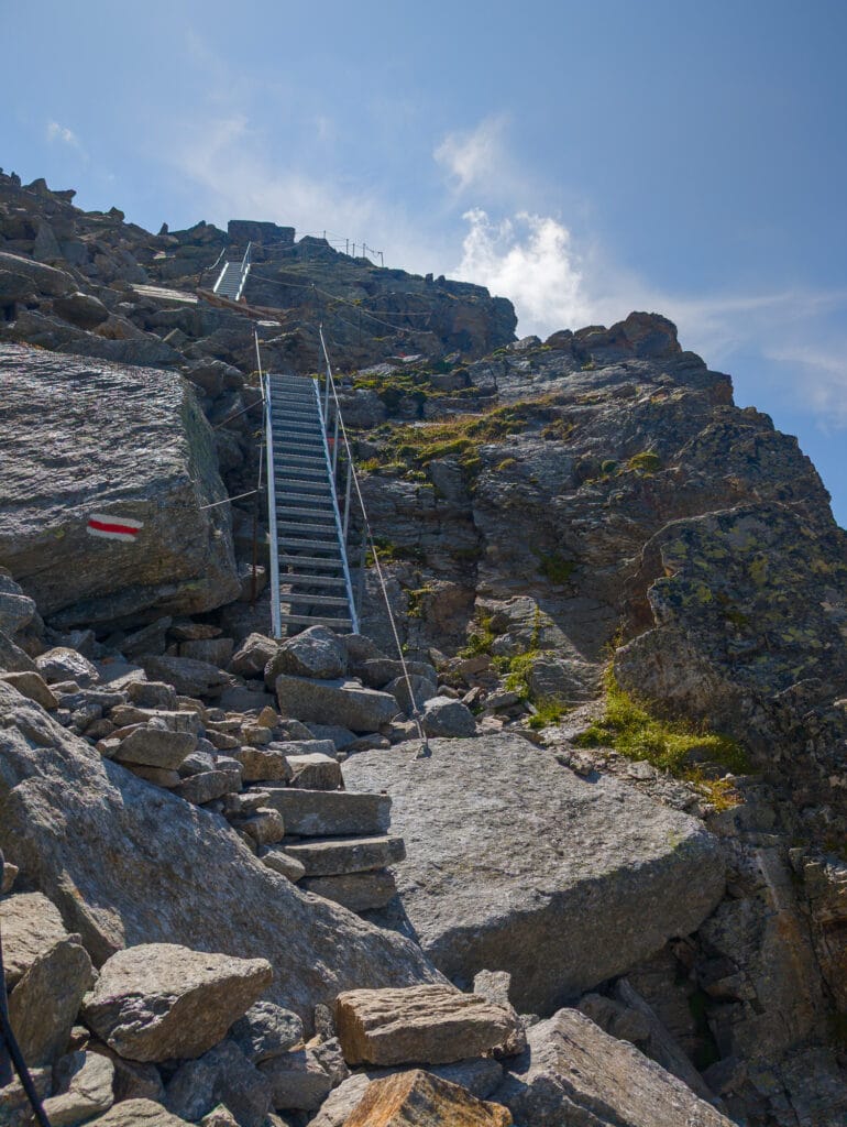
We had about 2 km left—the end was near! We moved among rocks covered in a kind of green moss—this was the penultimate effort. The refuge finally came into view! After a flat section along the mountainside, a scree slope, and two metal staircases, we finally reached the refuge, just a few meters away. It was 2:30 p.m. when we set our backpacks down in front of the wooden chalet. We didn’t even feel the fatigue—the surrounding panorama was just incredible.
We settled in and spent the afternoon resting. Time seemed to stand still. Even Alpine ibexes came to rouse us from our torpor, eagerly licking the salt thrown by the hut’s keeper.
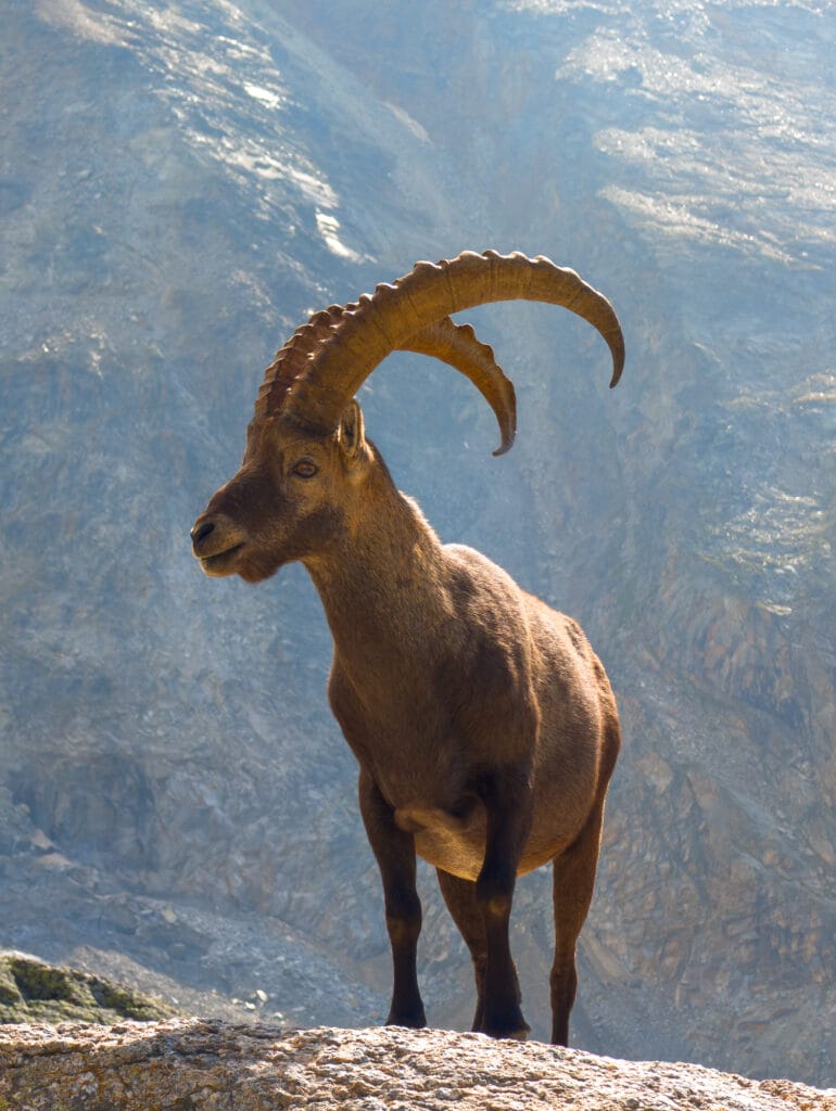
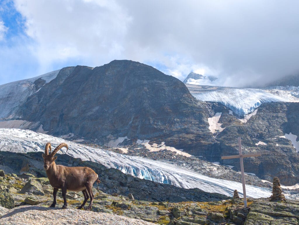
The sun slowly began to set, and it was time for dinner. On the menu: broth with a cucumber salad as a starter; polenta with cheese, chickpeas, corn, tomato sauce, and red beans for the vegetarian dish (rice and the same accompaniments with meat for the carnivorous option); a ginger or Ovomaltine cake with whipped cream for dessert. It was simple and very good.
We slipped away to admire the sunset over the mountains and the Ried Glacier before heading to the sleeping areas upstairs.
- 6.38 km
- 5 hours of hiking (3 hours 45 minutes estimated)
- 1,314 meters of elevation gain
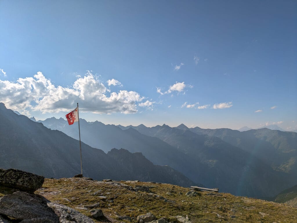
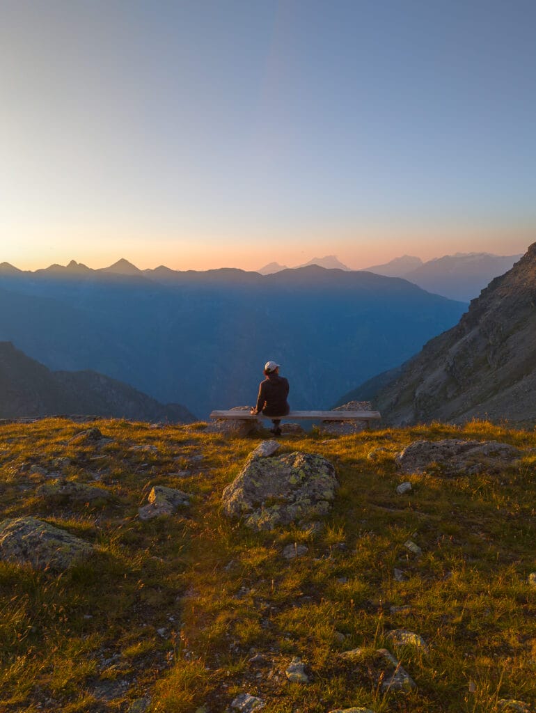
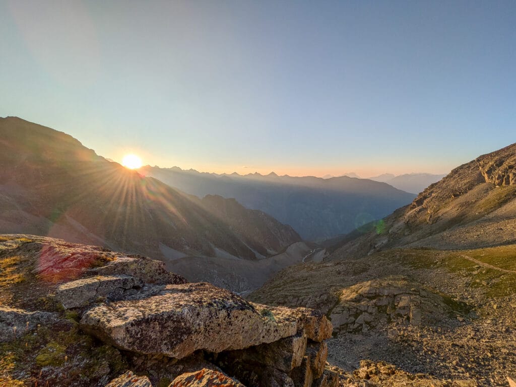
Day 2: From the hut to Klein Bigerhorn and Gross Bigerhorn, and back
Early departure
After a night interrupted by the 2:00 a.m. wake-up of the mountaineers, we emerged from our blankets, a bit groggy. It was 4:00 a.m., and we aimed to leave by 5:00 a.m. We packed our things and left the excess weight in a locker at the entrance to lighten our backpacks for the ascent. Breakfast was already prepared in the dining room. We had bread, butter, jam, granola, milk, and tea, which was also available to fill our water bottles. Once our stomachs were full, we were ready to tackle the two Bigerhorns. Our headlamps were on, and we set off into the silence of the night, both soothing and daunting.
Junction and dawn
The small reflective spots installed from the refuge and the red and white markers guided us through a significant scree slope. Upon reaching a stake, we hesitated. The spots directed us to the right, seemingly toward Mont Balfrin. We could even see the headlamps of mountaineers at its summit. Another path to the left seemed to lead toward Klein Bigerhorn, but it was only marked by cairns. After a quick check on our apps, we took the cairn-marked path to avoid ending up on the wrong mountain.
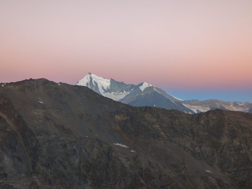
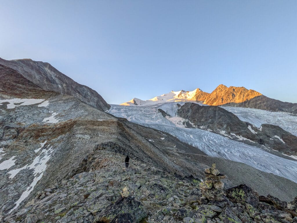
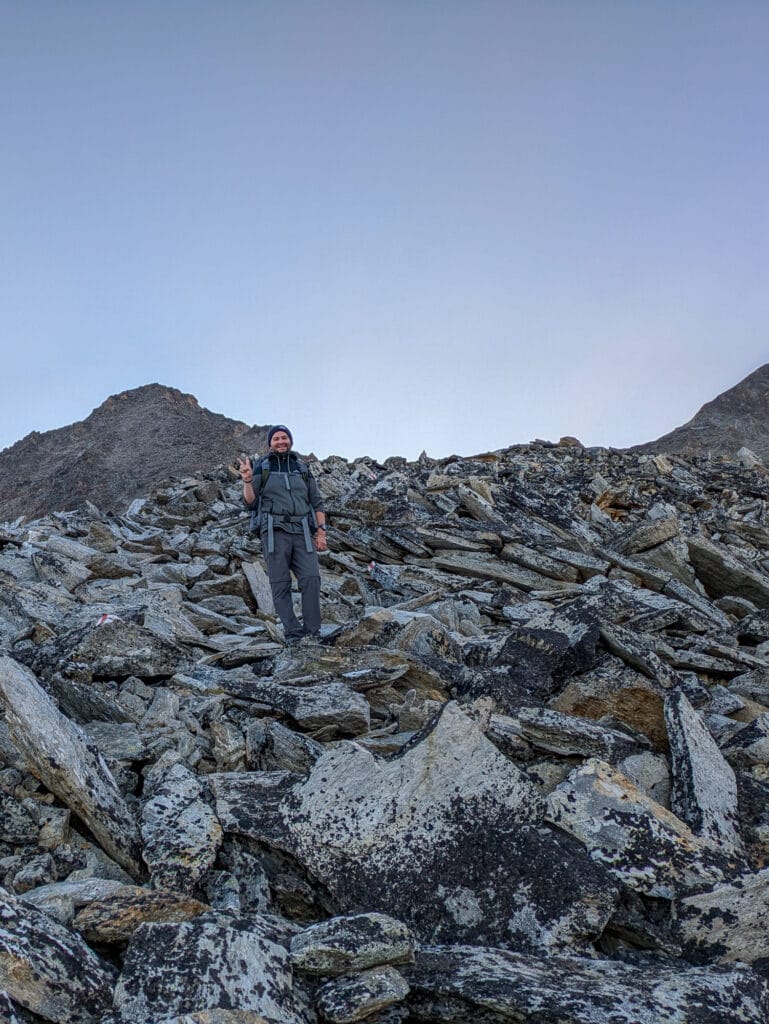
While the previous day’s climb was steep, today’s ascent was even steeper! After another scree slope, we moved almost in a straight line on a narrow and slippery path. We took frequent breaks, half-jokingly questioning what we were doing there. The stars gradually faded, and soft glows lit up the sky. Then, the peaks of Ulrichshorn and Nadelhorn turned pink. The summit of Gross Bigerhorn finally appeared above us. Indeed, it’s not visible from the hut, unlike Klein Bigerhorn. Up close, it seemed so high and unreachable!
We would later learn that the cairn-marked path was the old trail. To take the new one, follow the reflective markers and the red and white signs. At the stake, you’ll see an arrow indicating the correct path. Even with our headlamps, we didn’t see it!
Klein Bigerhorn and sunrise
We finally reached the ridge of Klein Bigerhorn, and that’s when we knew why we had come. The sunrise was simply magical. We hurriedly left our backpacks and poles at this spot to reach the summit of Klein Bigerhorn and savor the moment. The rocks were relatively wide, and the terrain was almost flat compared to what we had just climbed. We felt safe even without hiking equipment. Once at the top, the show began, and we were breathless: all the pastel colors filled the sky.
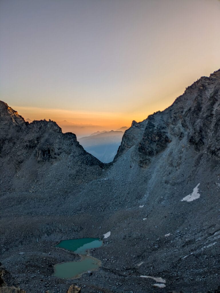
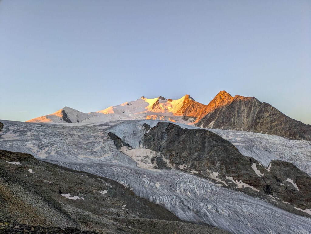
We eventually tore ourselves away from this palette of colors to refocus on our goal, Gross Bigerhorn. The remaining elevation gain seemed challenging, and the trail was completely invisible among the rocks, but we weren’t going to give up when so close to the goal.
Gross Bigerhorn and feeling at the top of the world
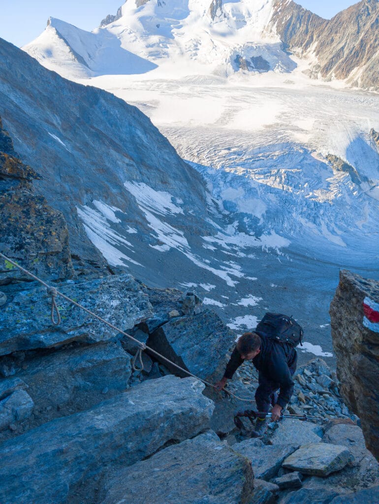
Here, we followed the red and white markers again, using cairns when the markers were invisible, which happened often. The ascent continued exclusively through a scree slope until the summit. To be honest, it was exhausting, and the hike often turned into a scramble. Ropes installed on certain tricky sections helped us along.
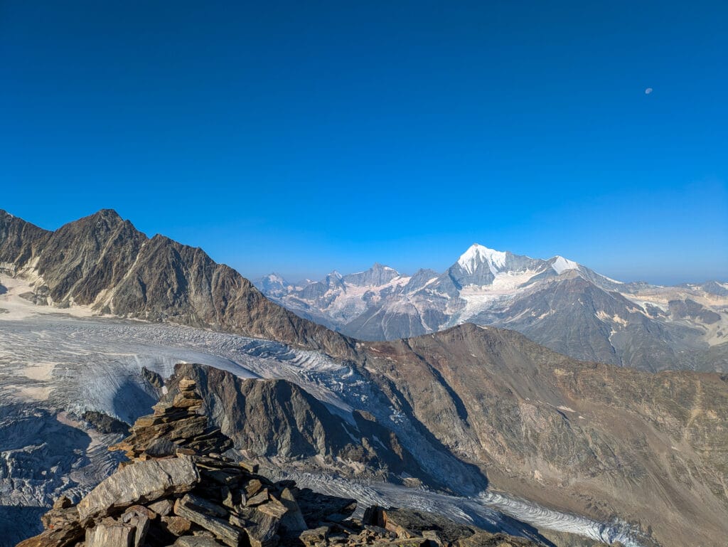
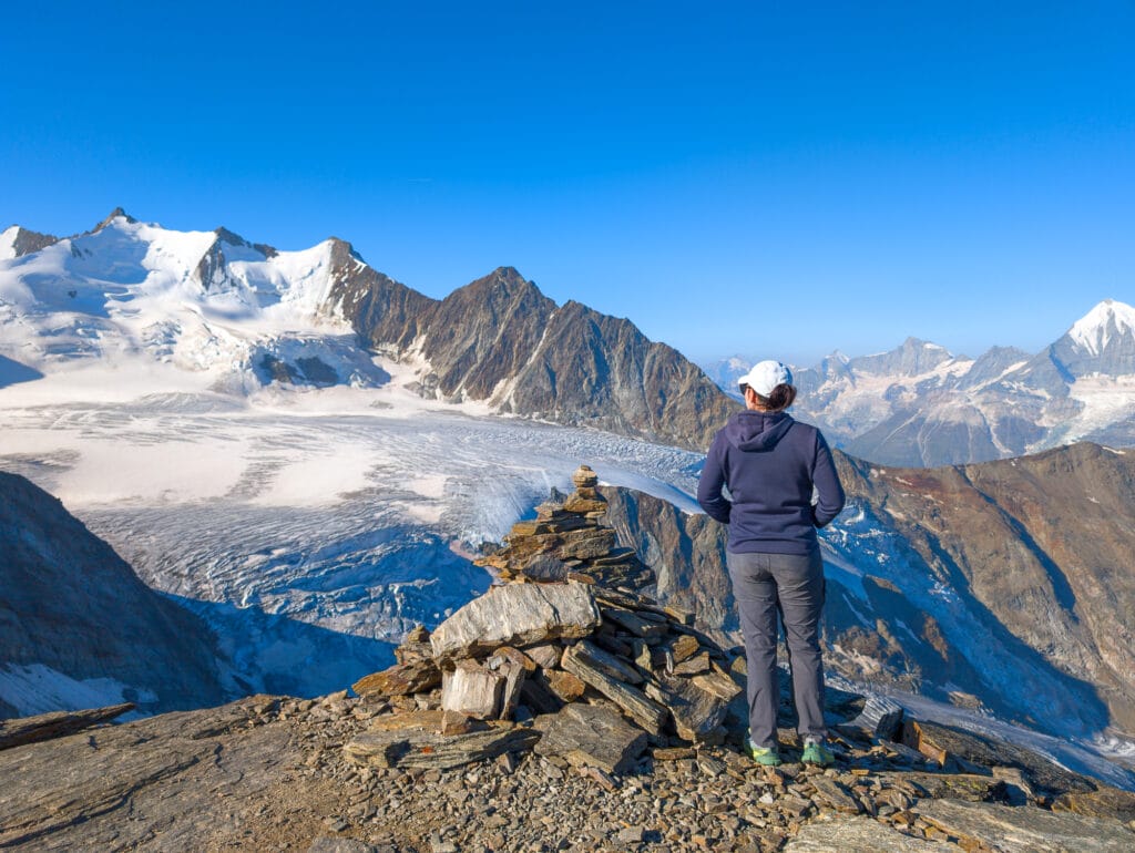
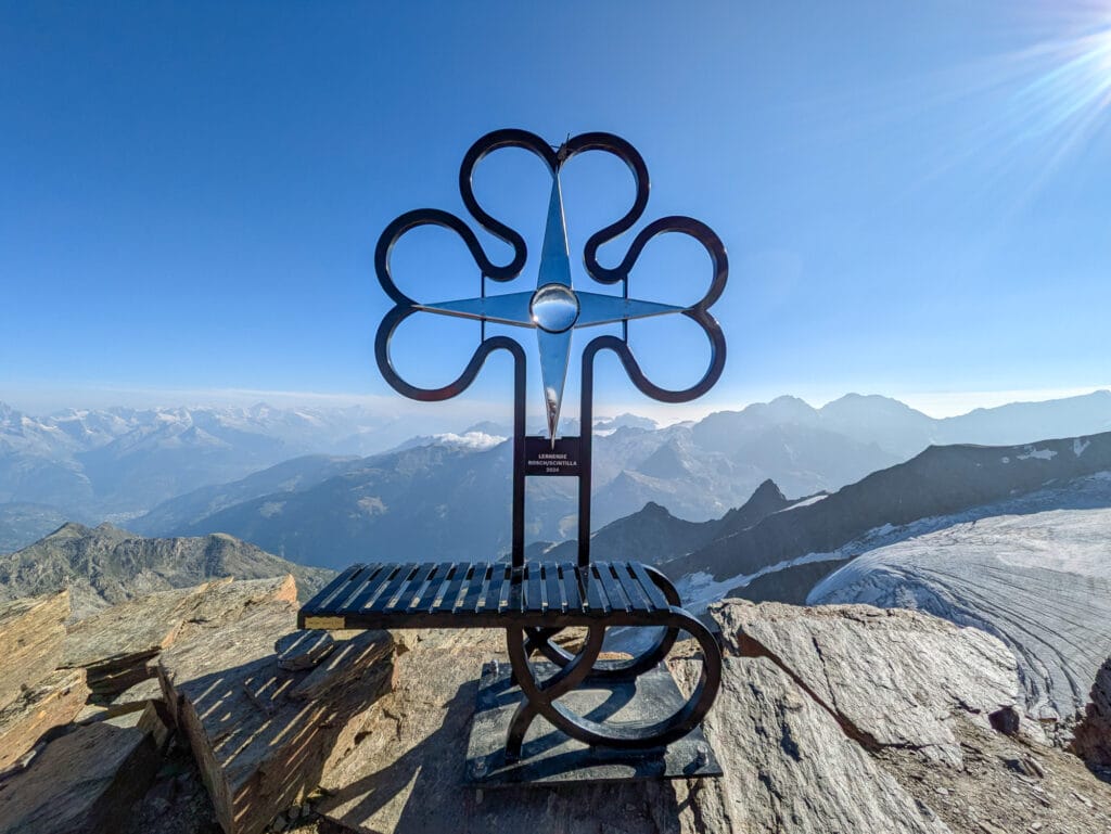
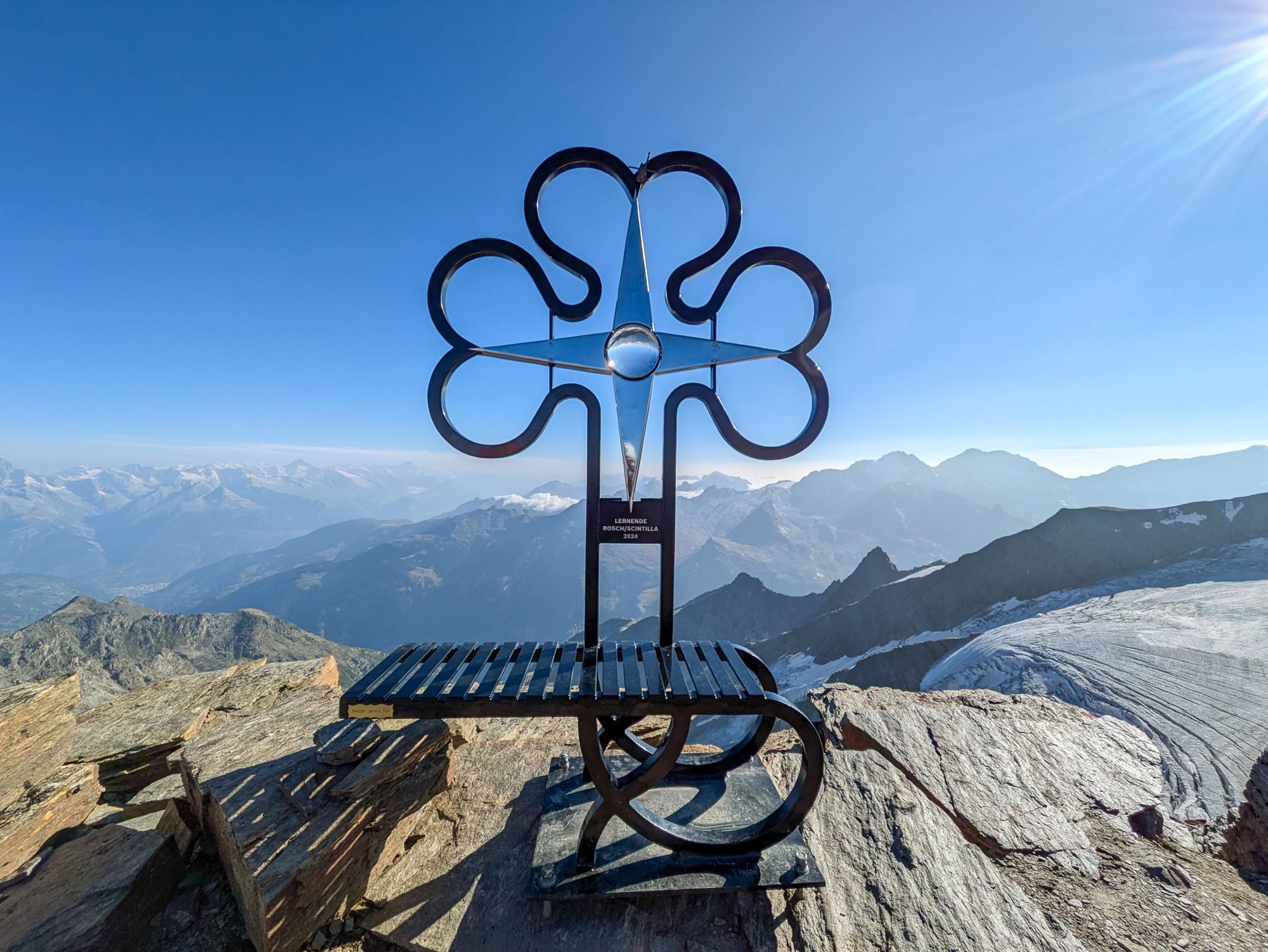
After what felt like an eternity, we sighed with relief as we reached the summit of Gross Bigerhorn. We were surrounded by a breathtaking 360° panorama. A bench had been installed at the foot of the freshly erected cross, and we didn’t hesitate to sit down and watch the end of the sunrise.
The descent to the hut
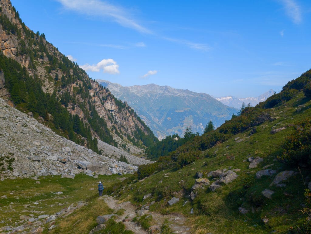
Finally, it was time to descend: we still had 10 kilometers to cover, with a 2,000-meter drop in elevation! We moved a bit faster than on the ascent, but caution was needed on the scree slopes. Our poles helped a lot and prevented many falls.
At the junction between Gross Bigerhorn and Klein Bigerhorn, we took the other path—the new, correct one, with red and white markers. The descent was steady but less steep than if we had taken the old, steep trail. Honestly, we couldn’t imagine descending that section—it would have been too dangerous.
The new trail passed near the glacier, reflecting the first rays of sunlight and revealing its bluish hues. It was definitely less steep but longer. If we had taken the new trail earlier, we might not have caught the sunrise.
The return from Bordierhütte to Gasenried
Finally, we reached the refuge just before noon. After a Rivella, we gathered our things, replenished our water, and set off for the final descent. We moved faster than on the ascent, but after 2 kilometers, the previous day’s and early morning’s efforts began to take their toll on our legs, especially our knees. We took a break at the blue metal bridge before tackling the only uphill section on the return, between the bridge and the Valais blacknose sheep.
The landscapes continued to captivate us, which helped distract us from the increasing pain with every step. Finally, after the flat section at the glacier’s foot, the trail plunged into the larch forest for what we considered the longest part of this descent. At last, we spotted the village of Gasenried and finished the trek, dragging our feet. As we had a bit of time before the bus arrived, we collapsed into the chairs on the terrace of the Bed & Breakfast Alpenrösli. The Rivella, beer, and tarts served as a well-deserved reward after these intense two days!
- 11.32 km
- 4 hours from the hut to the summit of Gross Bigerhorn (2 hours 30 minutes estimated)
- 2 hours 30 minutes descent to the refuge
- 3 hours 30 minutes descent from the refuge to Gasenried (2 hours 30 minutes estimated)
- 734 meters of elevation gain to Gross Bigerhorn and 2,000 meters of descent to Gasenried
Our thighs were sore for the two days following the hike, but it was worth it: we completed the highest hike in Europe. No doubt, we’ll remember this ascent of Bigerhorn for a long time!
Do these two days conquering the Bigerhorn tempt you? For more inspiration, check out our best hikes in Switzerland.
Pin it
Join the discussion