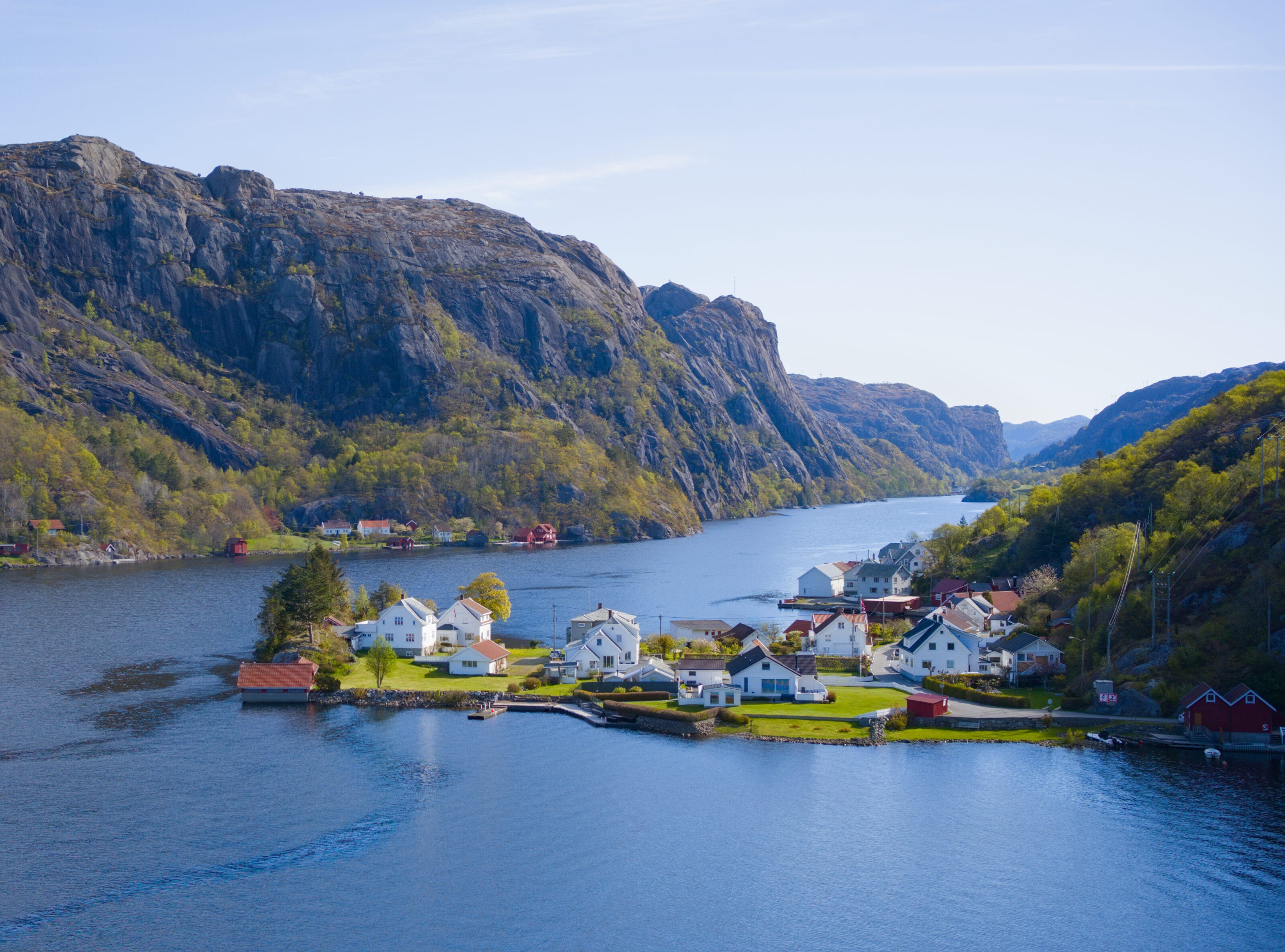
After kicking off our road trip in Norway by exploring the Telemark and Agder regions, we’re now in Rogaland County, in southwestern Norway (whose capital is Stavanger). This region is well known for its fjords, its famous rock formations (notably Preikestolen and Kjeragbolten), and for its oil, too 🙂
As for us, we’re not all that interested in Stavanger or oil, so we started exploring in the southernmost part of Rogaland, where there’s a region with lunar-like landscapes (and designated by UNESCO as a geologically significant area). We ended up there somewhat by chance while out for a hike, but as you’ll see, we made some great discoveries.
The lunar landscapes of the Magma Geopark
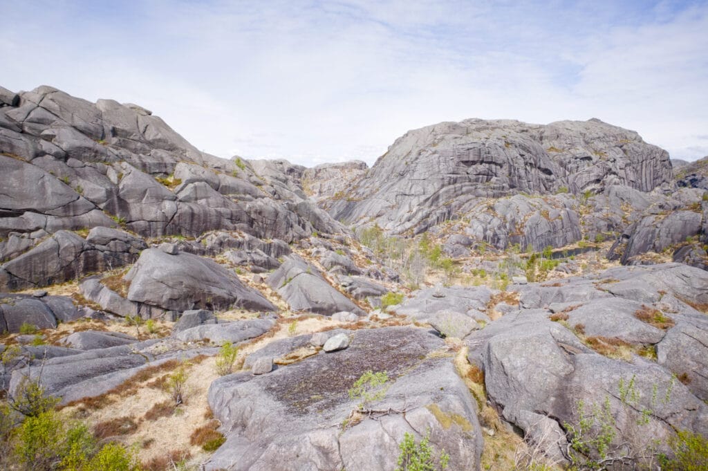
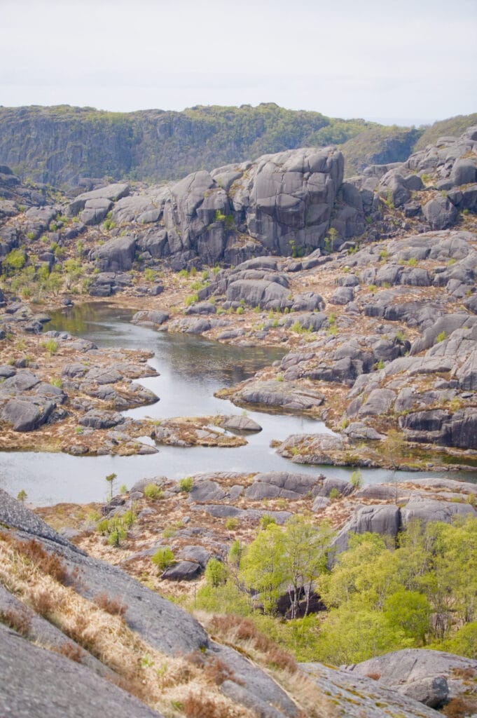
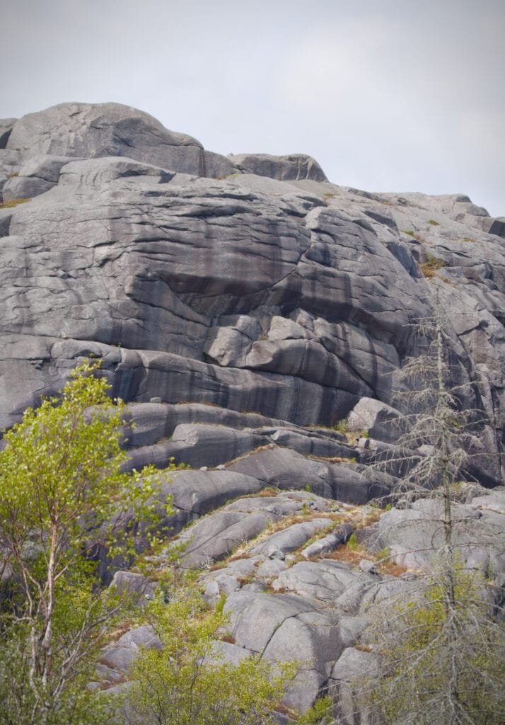
The area around the small town of Egersund is called Magma Geopark for good reason. A very, very long time ago (900 million years ago), a massive mountain range comparable to the Himalayas formed here. The forces at work created a magma chamber buried deep beneath these mountains… But after millions of years of erosion, this magma chamber now lies at the surface, giving rise to these somewhat lunar-like rocky landscapes.
And if there’s one place where you can really talk about lunar landscapes, it’s right here. The rock that formed in this magma chamber is called anorthosite, and it’s the same rock found on the moon 🙂 . You can find more information on the Magma Geopark website, but I’ve included a few photos below to give you an idea of the scenery
The Brufjell Hike
We begin our exploration of the park in the small village of Stornes, the starting point for a hike that’s apparently quite popular in the area: the Brufjell hike (it was actually after stumbling upon this hike that we ended up in the area 😉 ). You can tell right away by the size of the paid parking lot (something like 20 NOK per hour) with restrooms and a vending machine for cold drinks. Well, in May there weren’t many people in the parking lot, and we must have passed by three people on the hike… but apparently in the summer the parking lot can fill up before 10 a.m. (just so you know).
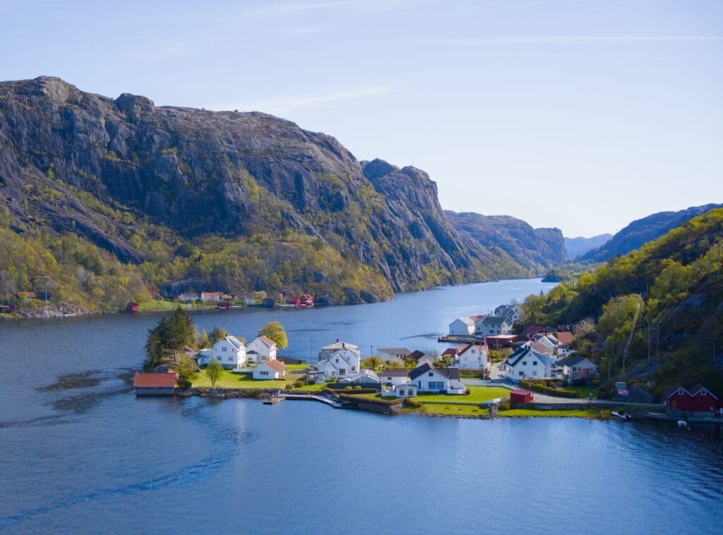
First, we pass through the picturesque village of Stornes as we follow the fjord. It’s like a postcard of Norway, with its little red houses right by the water. Honestly, it’s really lovely!
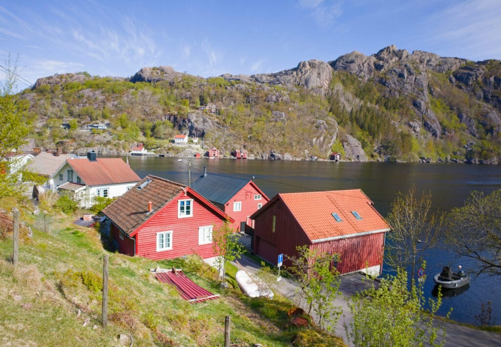
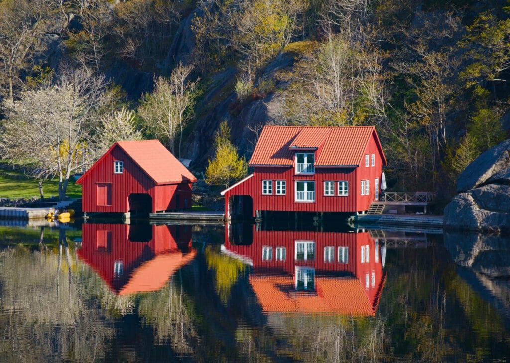
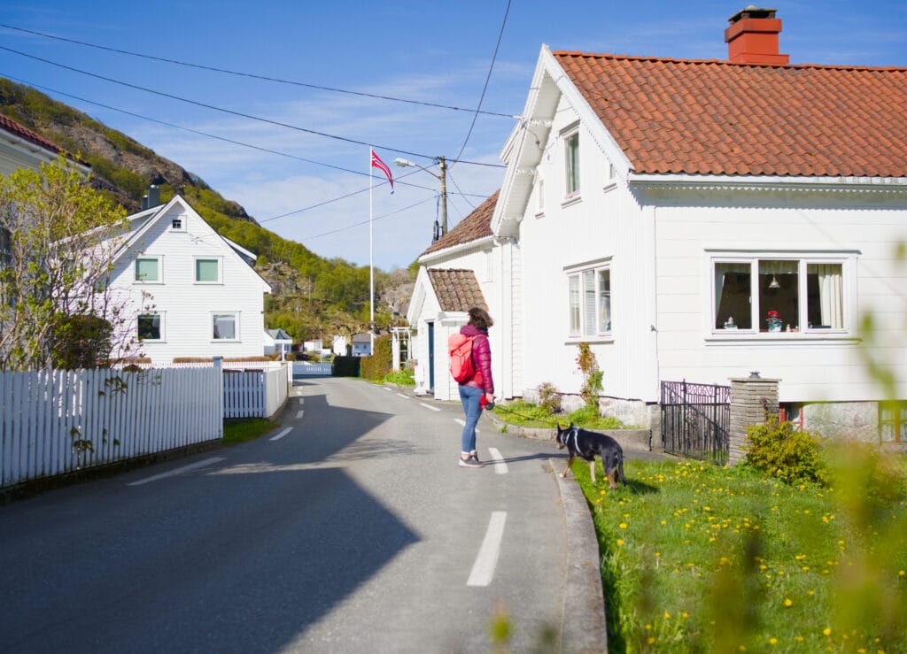
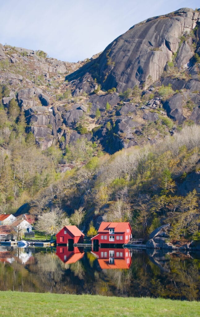
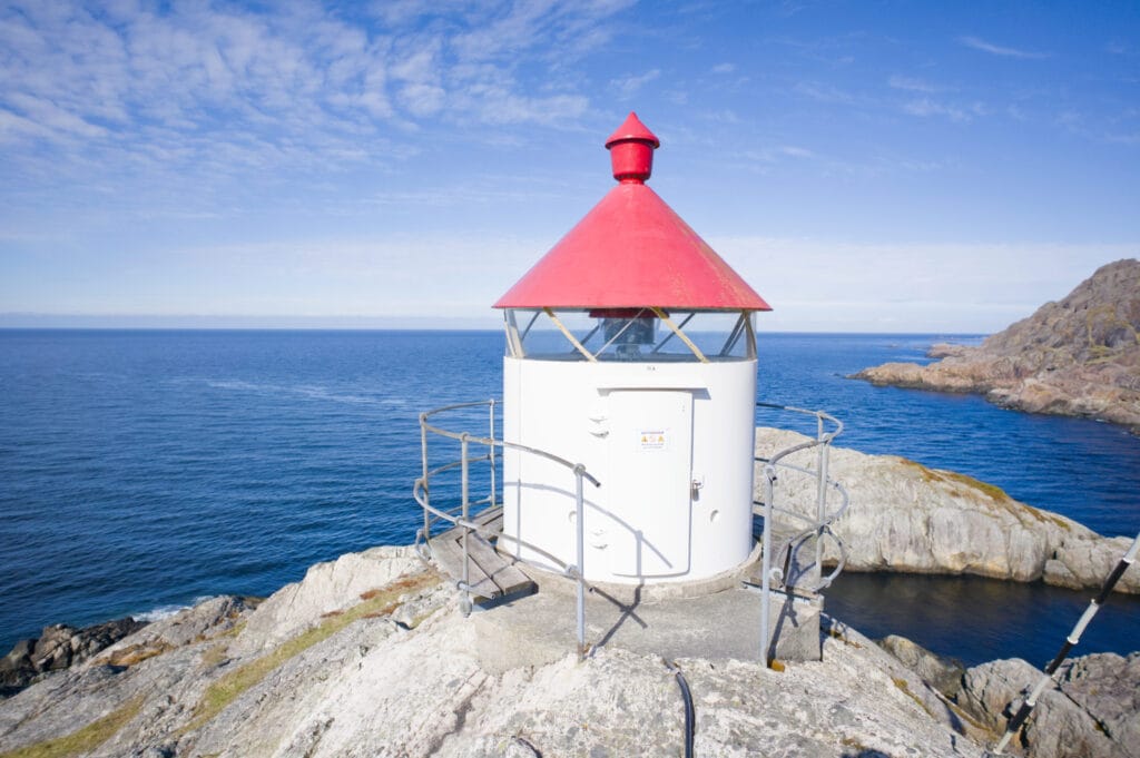
Then we join the hiking trail that climbs gently toward a small lighthouse. Behind us, we have a magnificent view of the village and the fjord.
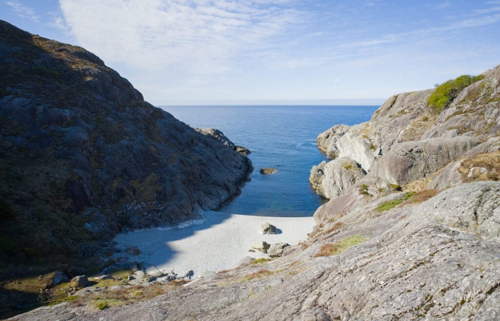
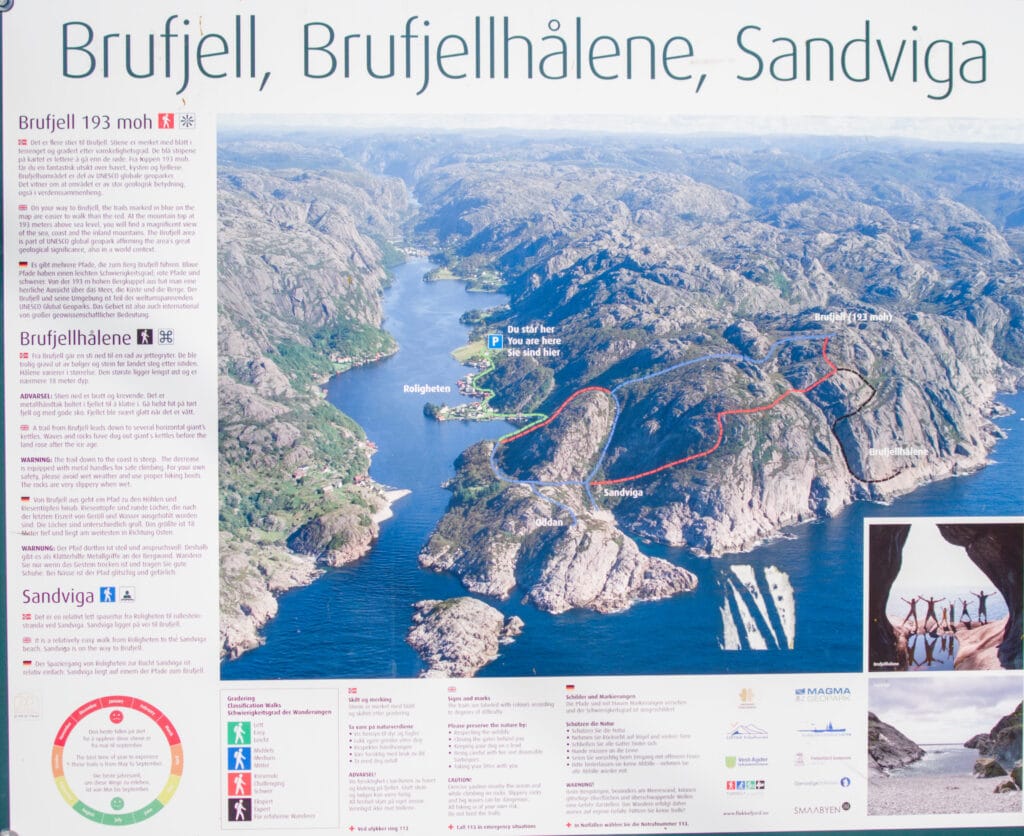
We take a look at the lighthouse, then pass by a small beach before starting the climb toward Brufjell (193 m). On the trail, this section is marked in red, which means “difficult” on the Norwegian hiking scale.
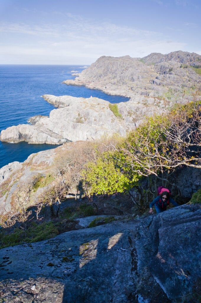
Personally, I wouldn’t go so far as to call this section difficult, but it’s true that the trail markers are a bit sporadic (we lost our way a few times) and that it gets pretty steep in places. You even have to use your hands a bit at times. But it doesn’t take very long, and you reach the summit of Brufjell quickly, so it’s not the end of the world either.
Just before the summit, you’ll also have the option to head down toward the Brufjellhålene caves. This section is marked in black (expert on the Norwegian scale), and the descent is more like a via ferrata than a trail. So as we were hiking with our dog Winchy, we skipped this part. You should only venture there if you feel comfortable on this kind of terrain. Also best avoided in wet weather… unfortunately, people have already died there after falling into the water (the region no longer promotes this hike because of that).
Then we headed back down, following the red trail (which was pretty easy) that leads almost all the way back to the parking lot at the village entrance.
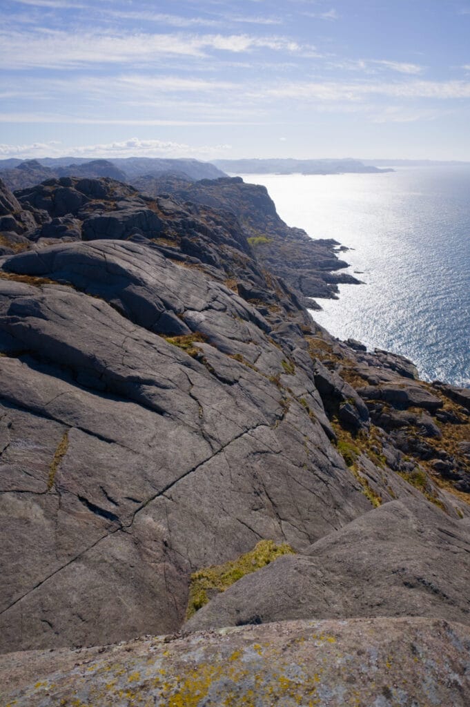
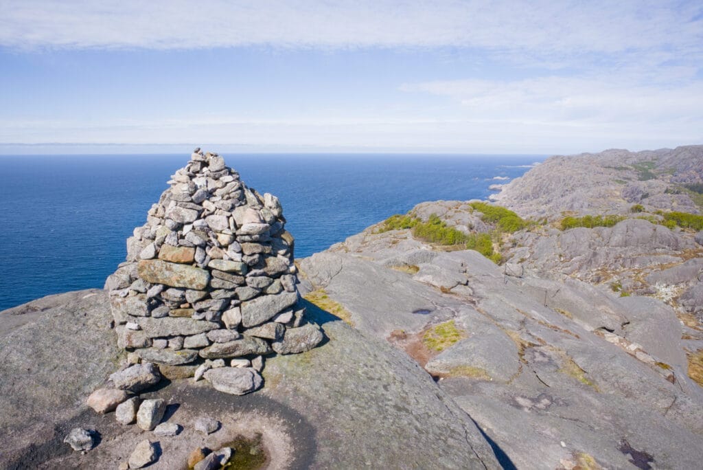
- Distance: approximately 6 km
- Elevation gain: approximately 300 meters (depending on whether you go down to the caves or not)
- Duration: 2–3 hours
- Difficulty: medium
Helleren and the Jøssingfjord Science Museum
After this nice starter, we continue on our way toward the small houses in the Helleren caves and the Jøssingfjord Science Museum. We stop at the museum’s parking lot, which is also where you park to visit Helleren.
Jøssingfjord Science Museum
When you arrive, you can’t miss the large factory on the right; the museum is located just behind it, before the tunnel, in a very modern building. As you can easily imagine, given the region’s unique geology, mining operations have also developed here.
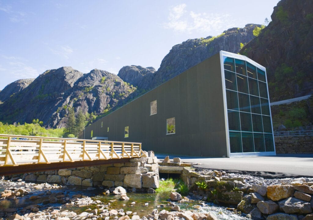
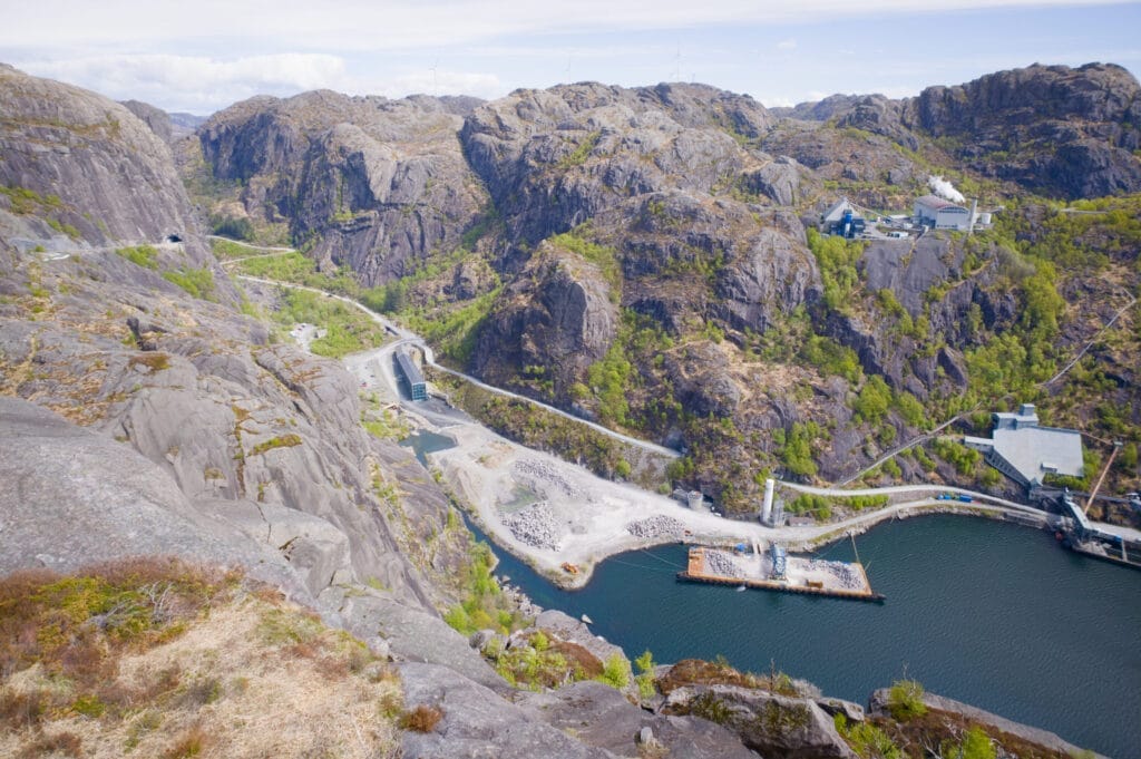
In fact, the science museum focuses specifically on the connection between geology and the mining opportunities it offers. The plant located right next door is called Titania and is one of Norway’s largest mining companies. They produce ilmenite concentrate, which is used in many products such as paints, inks, plastics, sunscreen, and cosmetics.
The museum also has a nice café and a climbing wall apparently… Since the weather was so nice, we decided to go for a longer hike instead (the Kolbolten hike, which I’ll tell you about in a moment), but honestly, the museum looks great, and it’s a little cheaper if you buy your ticket through GetYourGuide.
The two houses in Helleren
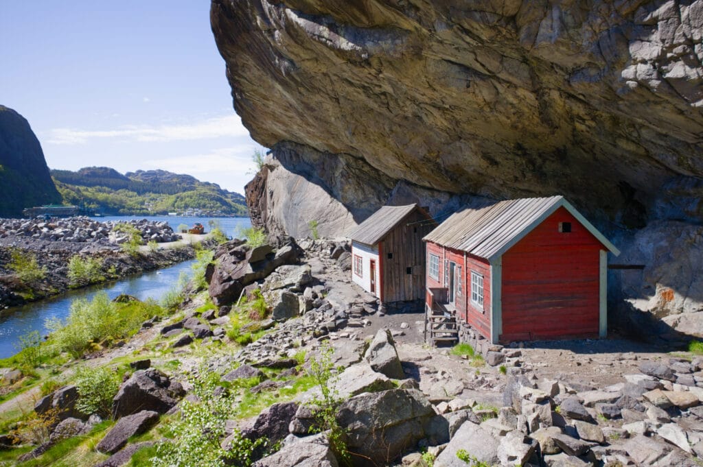
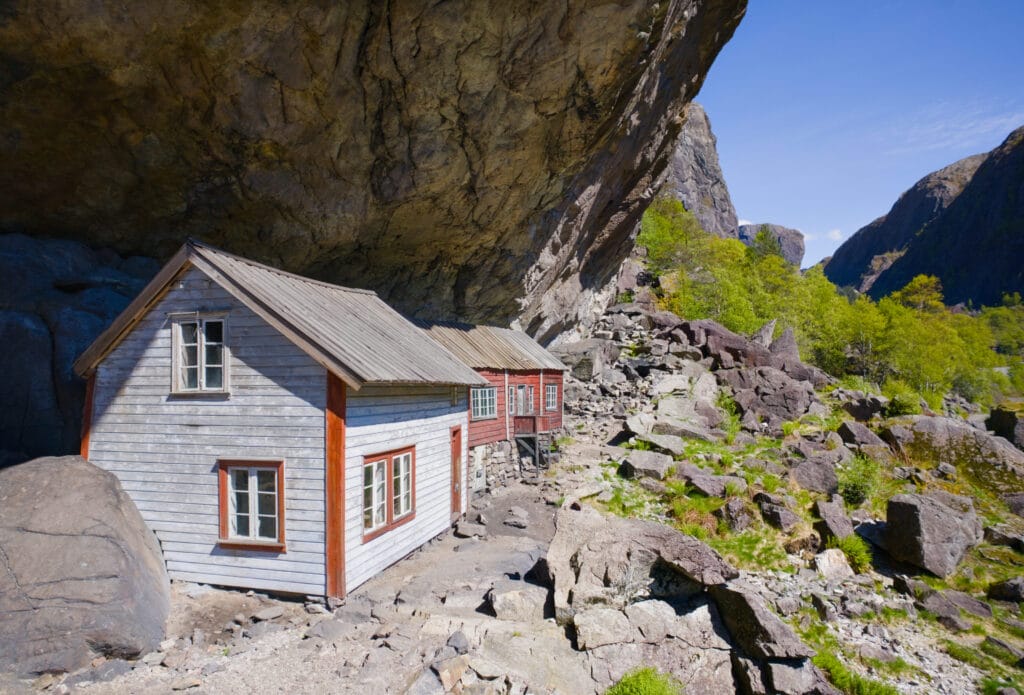
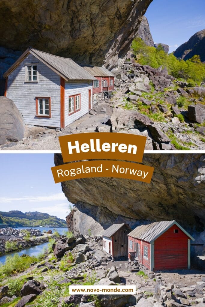
Right next to the museum is another geological curiosity: a large natural cavity in the rock (60 meters long and 10 meters deep) that houses two small houses dating from the 18th century. These houses are interesting in that they don’t really have a roof (at least not a waterproof one) and make use of the natural shelter to their advantage. I also get the impression that they’re pretty well-known because the spot is quite photogenic (understand instagramable, haha).
Hike to Kolbolten (a mini Kjeragbolten)
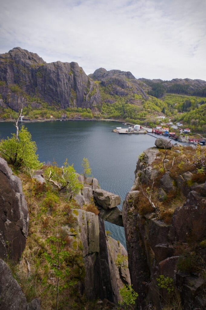
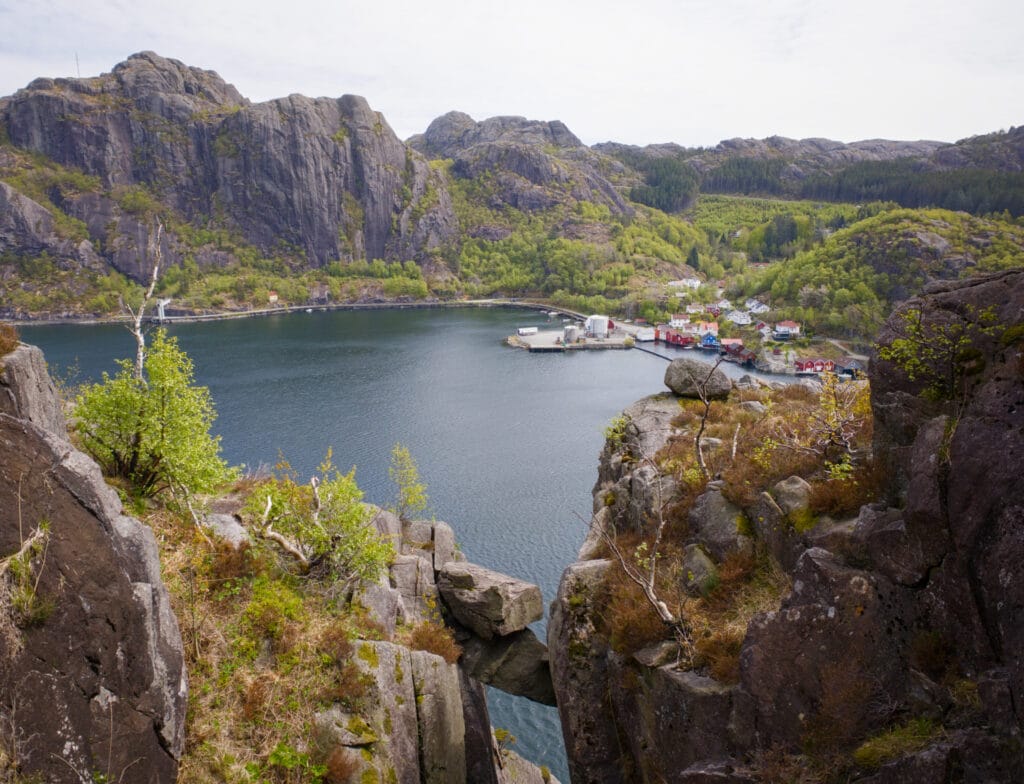
While searching on Google Maps, I came across a photo of a rock wedged between two cliffs that immediately reminded me of the famous Kjeragbolten. Since the hike to get there is literally just next to the museum, I figured it would be a shame to miss the chance to see a mini Kjeragbolten minus the crowds 😉
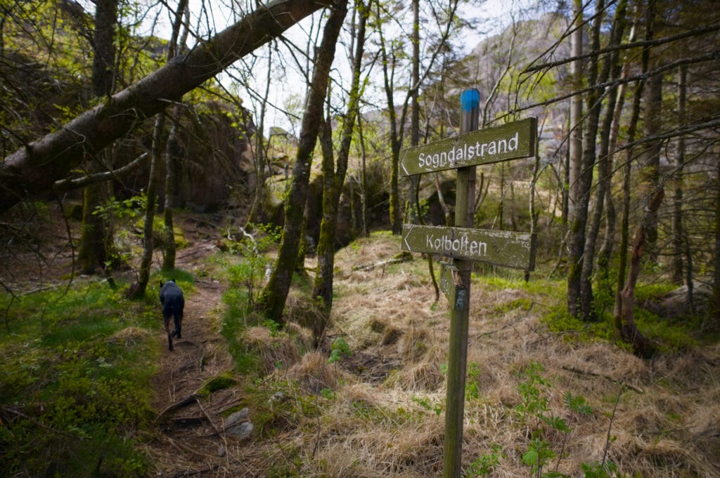
The hike to the rock is only 4 km, but the terrain isn’t exactly easy, so I always allow more time than I would in Switzerland. The trailhead is located at the tunnel exit past the museum, at the viewpoint overlooking the Jøssingfjord. The trail starts a few meters further on, at the hairpin turn.
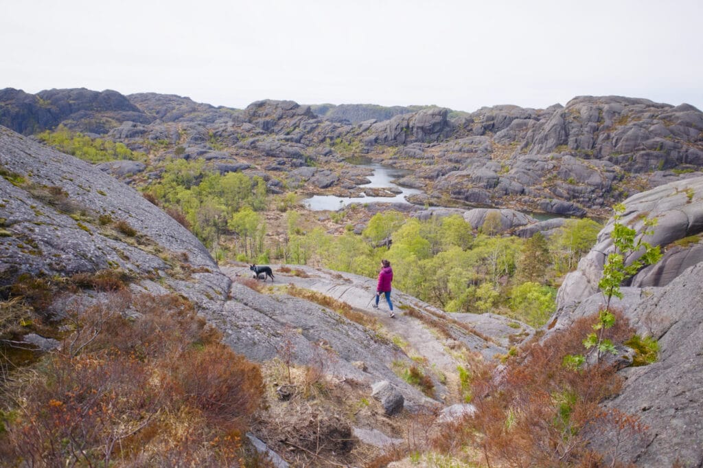
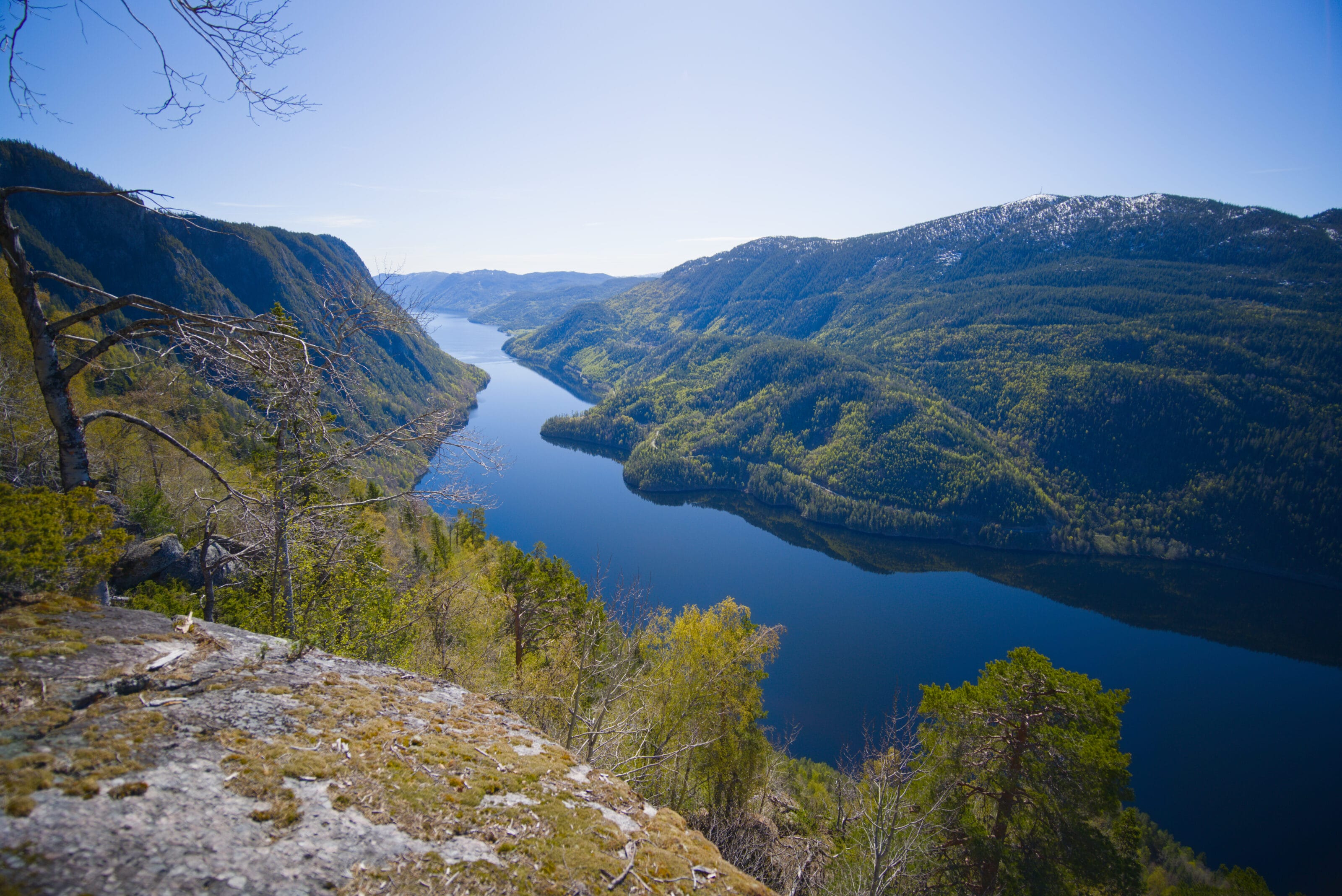
The trail first climbs to the top of the cliff overlooking Jøssingfjord. On the other side of the fjord, you can clearly see the Titania mine, though you can’t exactly say it enhances the scenery, lol. The trail is well marked, but as I said, in some places it’s not that straightforward, and you sometimes have to use your hands to help you along.
Once you reach the viewpoint overlooking the fjord, you’ll then head back down to the spot where you can see the rock wedged in the crevice. The final stretch (200 meters) is quite steep, so be prepared to use your hands for support at times.
I doubt that Kolbolten is as impressive as its famous big brother, Kjeragbolten (we plan to check it out on the way back down towards Switzerland), but we honestly thought the hike was nice, with some lovely views and set in the unique surroundings of the Magma Geopark. So we recommend it if you’re in the area.
- Distance: approximately 4 km round trip
- Elevation gain: just over 200 meters of ascent and descent
- Duration: 2–3 hours
- Difficulty: medium
the charming village of Sogndalstrand
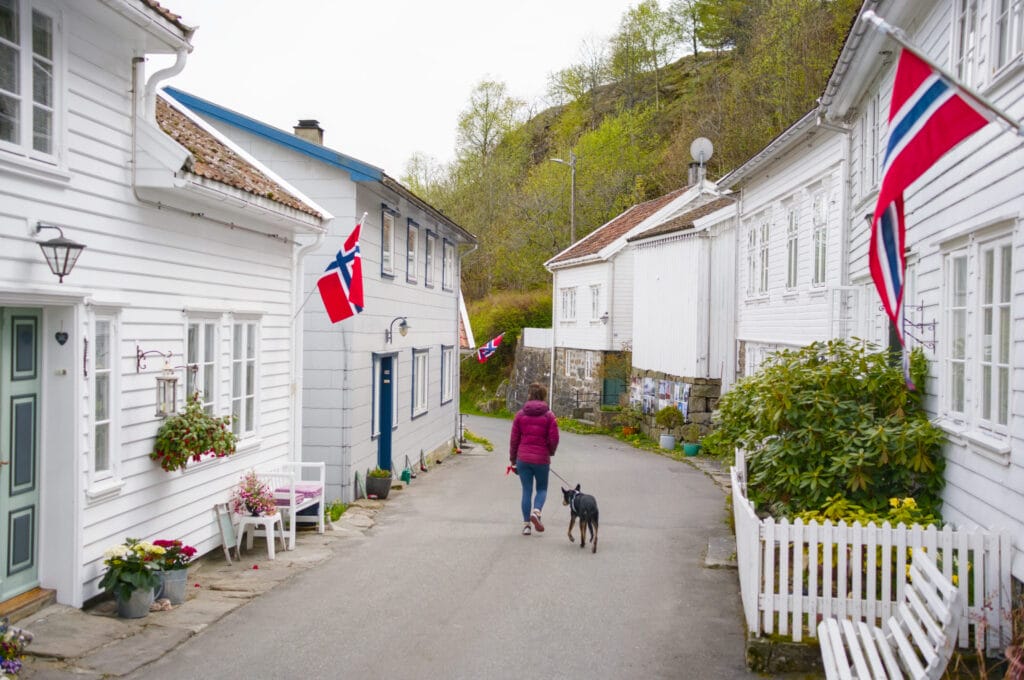
We wrap up our tour with a visit to the small historic village of Sogndalstrand. It consists mainly of a single narrow street lined with charming, beautifully restored houses. There you’ll find a restaurant, a café, a small self-service shop, art galleries, and two museums.
It is a classic example of a village that thrived on fishing and trade. Then rural depopulation set in, and the village gradually emptied out (by the 1990s, all the businesses had closed). But it is now experiencing a resurgence of interest thanks to tourism and the fact that its buildings have been preserved for their historical significance.
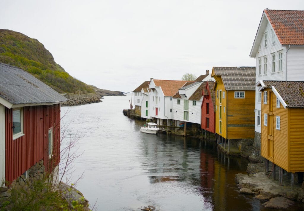
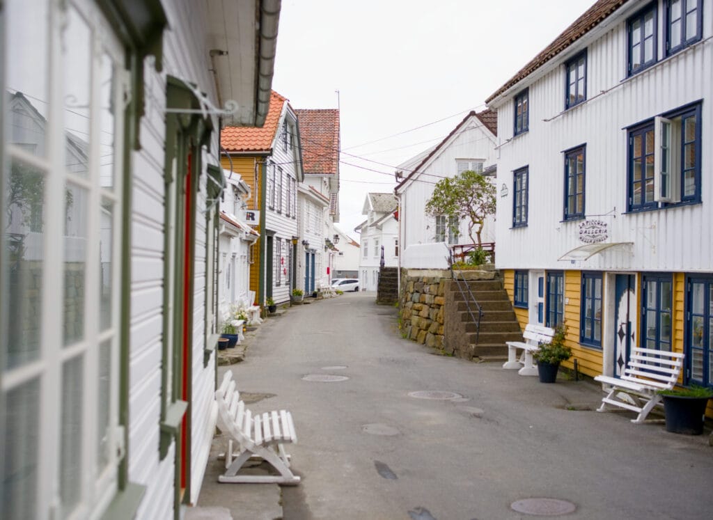
Well, that wraps up our little adventures in southern Rogaland. It was truly a wonderful experience, and in our opinion, just driving through those lunar landscapes on Route 44, which runs through the Magma Geopark, is worth the trip.
We’ll see you back here very soon for the next episode of our Norwegian adventure, since we then headed to the fjord region east of Stavanger (and spoiler alert: it was absolutely breathtaking)
Pin it on Pinterest

Join the discussion