
Since we moved to Les Haudères in Val d’Hérens, the Pointe du Tsaté is one of the mountains we can climb from home without even taking the car. It’s a stunning summit located between the Val d’Annivier and Val d’Hérens, offering 360-degree views of the 4000m peaks of the Valais Alps (Dent Blanche, Weisshorn, Zinalrothorn, Dent d’Hérens, Grand Combin…), numerous glaciers and the Lac de Moiry among others.
It’s a wild, uncrowded outing that can be done both in winter by ski touring ( I’ll talk about it again as we’re going to start sharing a bit more ski touring content in the coming months/years on the blog) and the rest of the year hiking (mid-June to late October, depending on snow conditions). On the other hand, even if it’s technically an easy route, it’s not to be underestimated, since even starting from La Forclaz (the highest point where you can park), there’s over 1300m of ascent until the summit.
In this article, I’m going to describe the route from the parking lot at the entrance to the village of La Forclaz. But you could also start from the village of La Sage or Les Haudères.
From La Forclaz to Tsalè du Tsaté
You can easily reach the village of La Forclaz by public transport from Sion by taking the 381 bus to Les Haudères and then the 383 to La Forclaz, which will drop you off right at the start of the hike (timetable here). If you’re driving, you can park right next to the bus stop at the entrance of the village.
The hike begins just across the road, climbing the Chemin du Motô through the pretty wooden houses with their slate roofs above the village. The imposing Dents de Veisivi loom in the background, and in the distance you can already see the summit of the Dent d’Hérens rising behind the Mont Miné glacier.
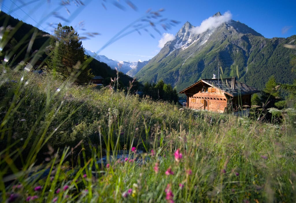
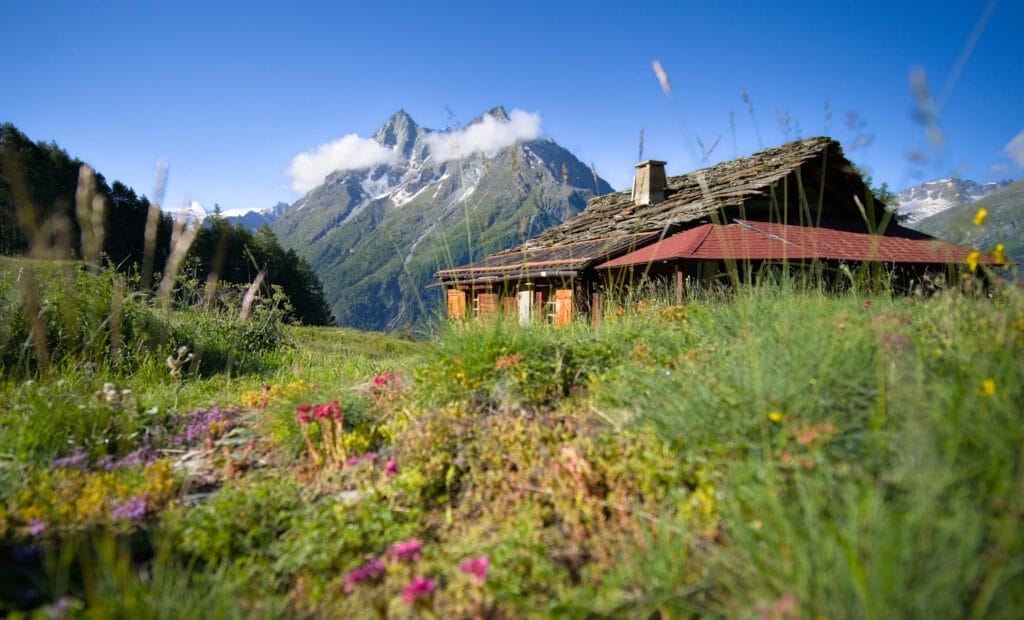
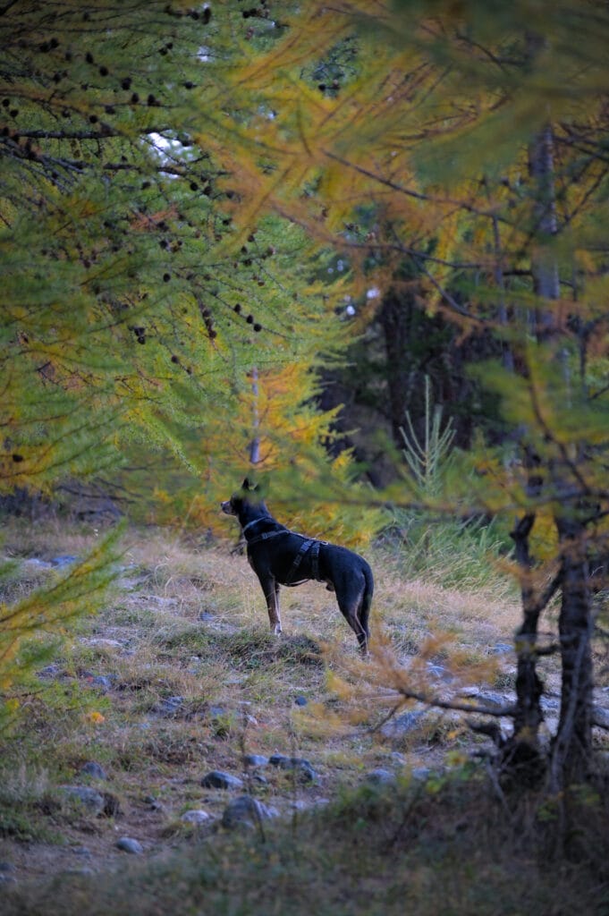
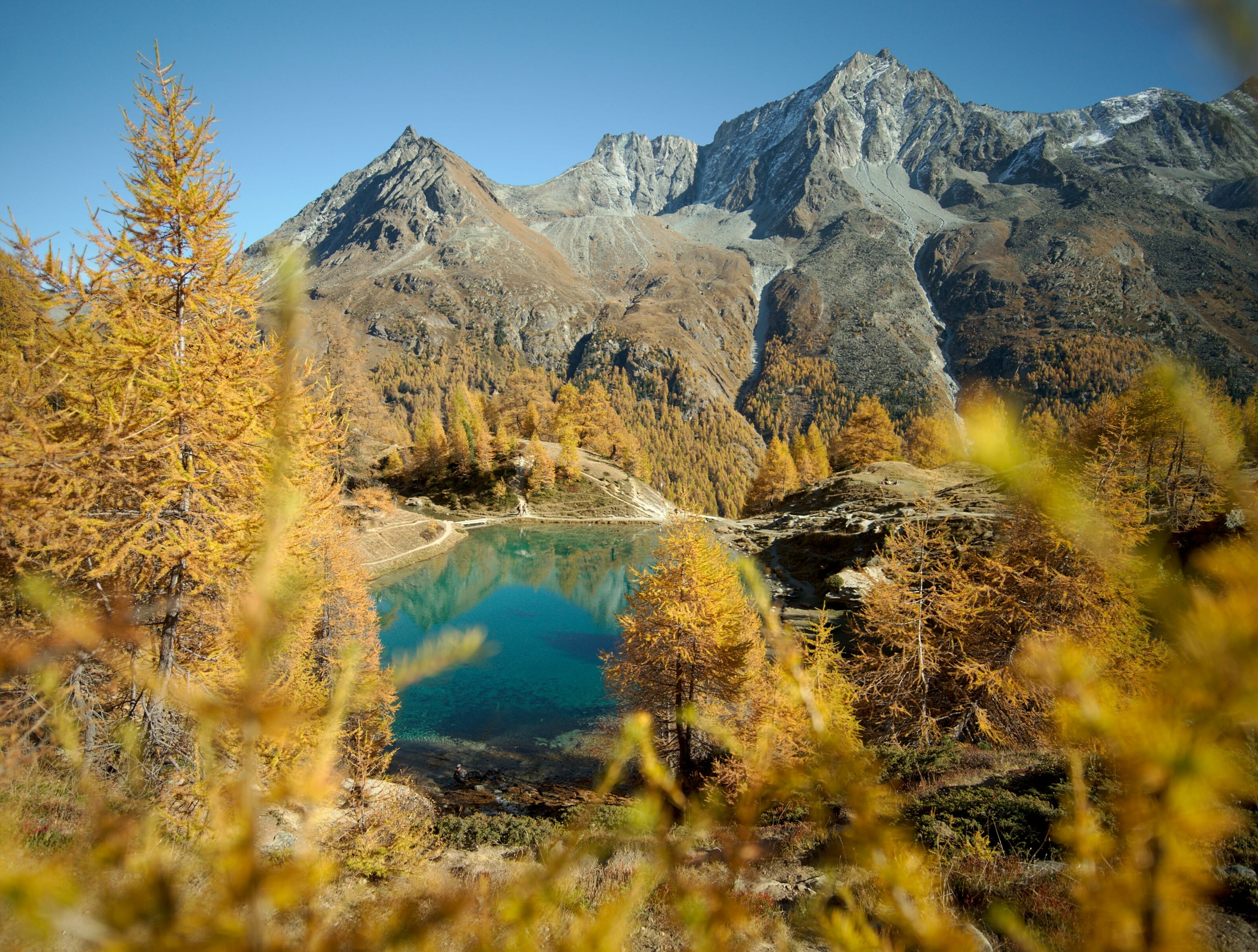
The path cuts through the curves of a track (the Motô road) until you reach a small hamlet of a few houses. This is where the small road ends and you start to climb for real into a pretty larch forest (you could also turn right at this point to reach the Bréona hamlet). We’ve already done this hike in autumn, when the larch trees are orange, and it’s truly magnificent!
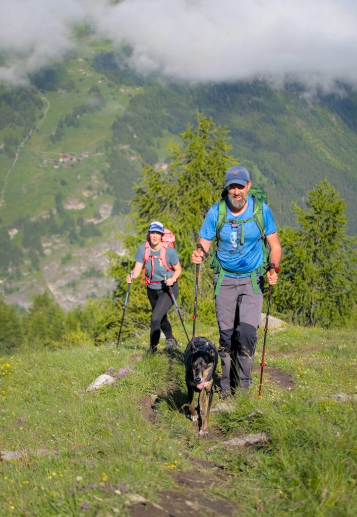
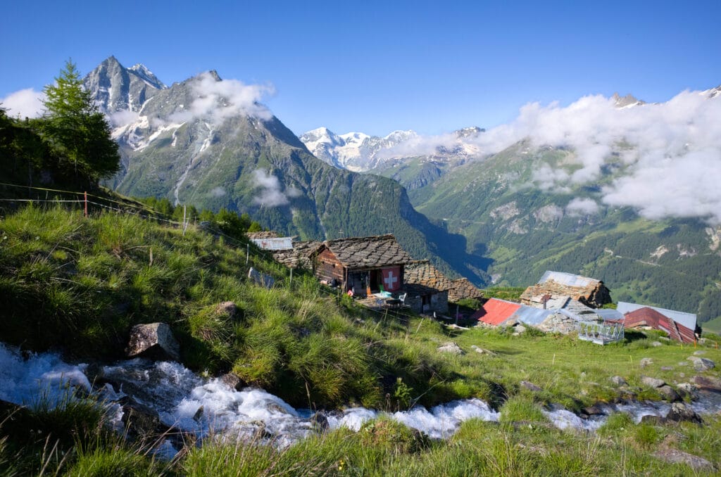
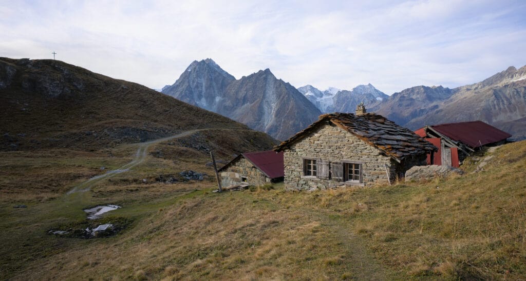
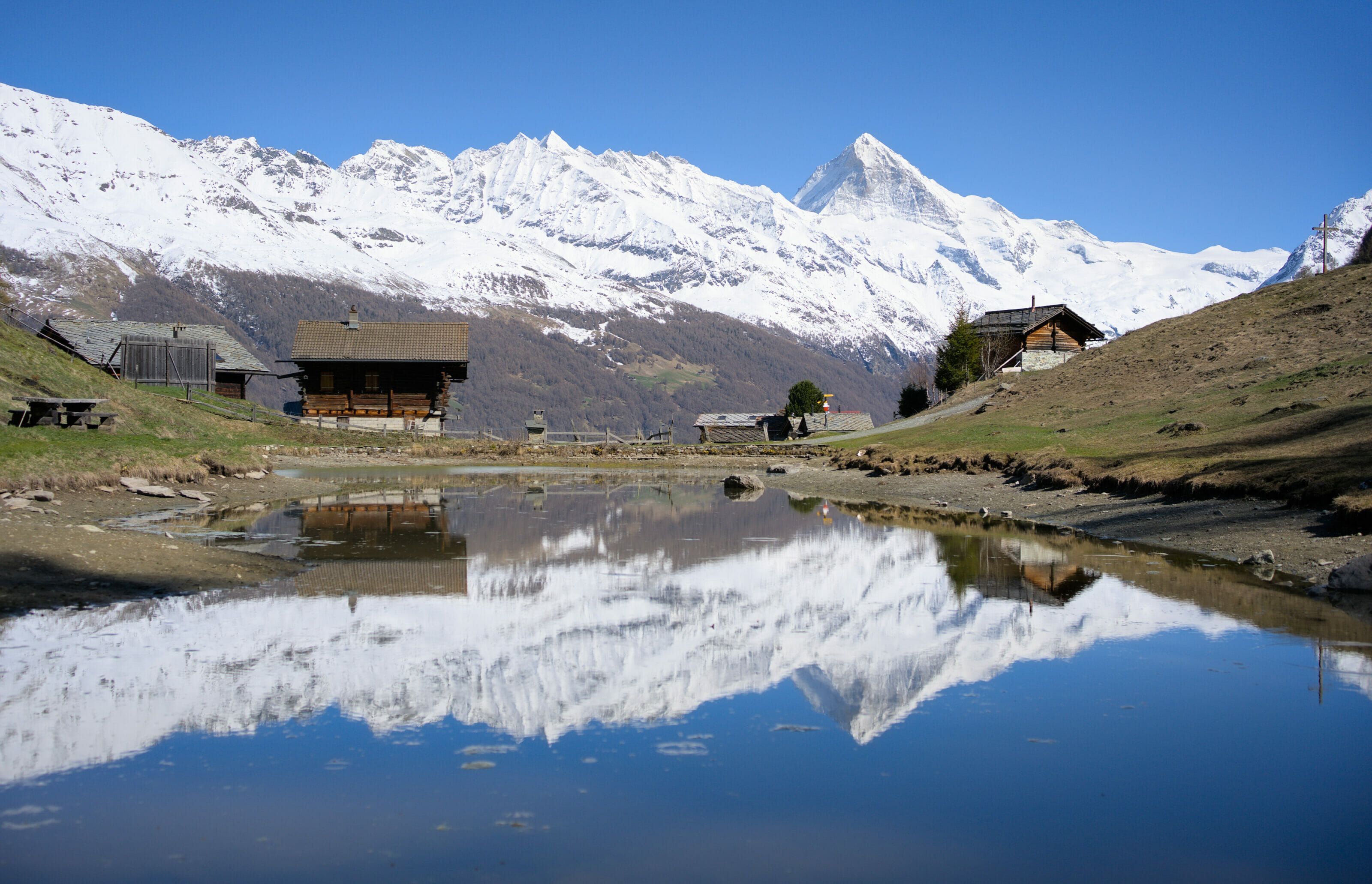
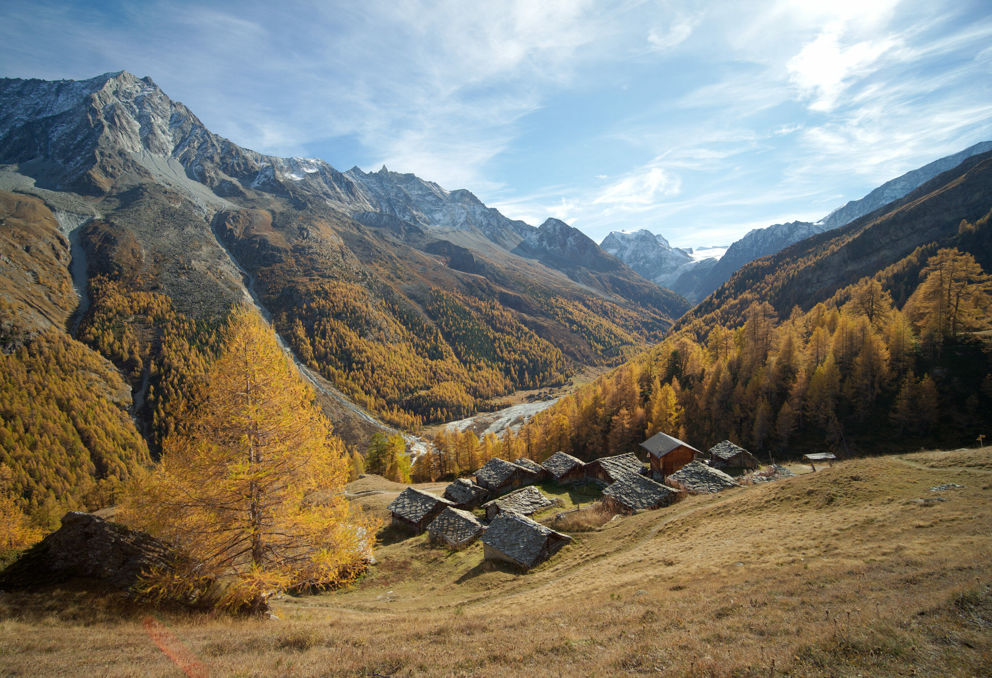
As you leave the forest, you first cross a meadow to reach a cross and a few chalets which indicate that you have arrived at Tsalè du Tsaté (2175m). If you hike in this area in summer, you may have to cross the alpine meadows with the cows… so be particularly careful if you’re hiking with a dog like us.
If you’re planning a trip to Switzerland or if you live here and wish to discover some new spots, don’t miss our new ebook. Released in May 2025, this 75-page guide will help you prepare for your upcoming stay in Switzerland. We’ve compiled all our best tips and tricks for visiting our beloved little country without breaking the bank. You’ll find advice on transportation, accommodations, where to shop, as well as a list of free activities and events throughout the seasons, along with our personal recommendations for hikes and must-see spots, and a selection of off-the-beaten-path itineraries (with estimated budgets). This ultra-complete guide also includes a fantastic interactive map featuring over 500 addresses and deals.

To learn more about the ebook and the interactive map, the introductory article is available here.
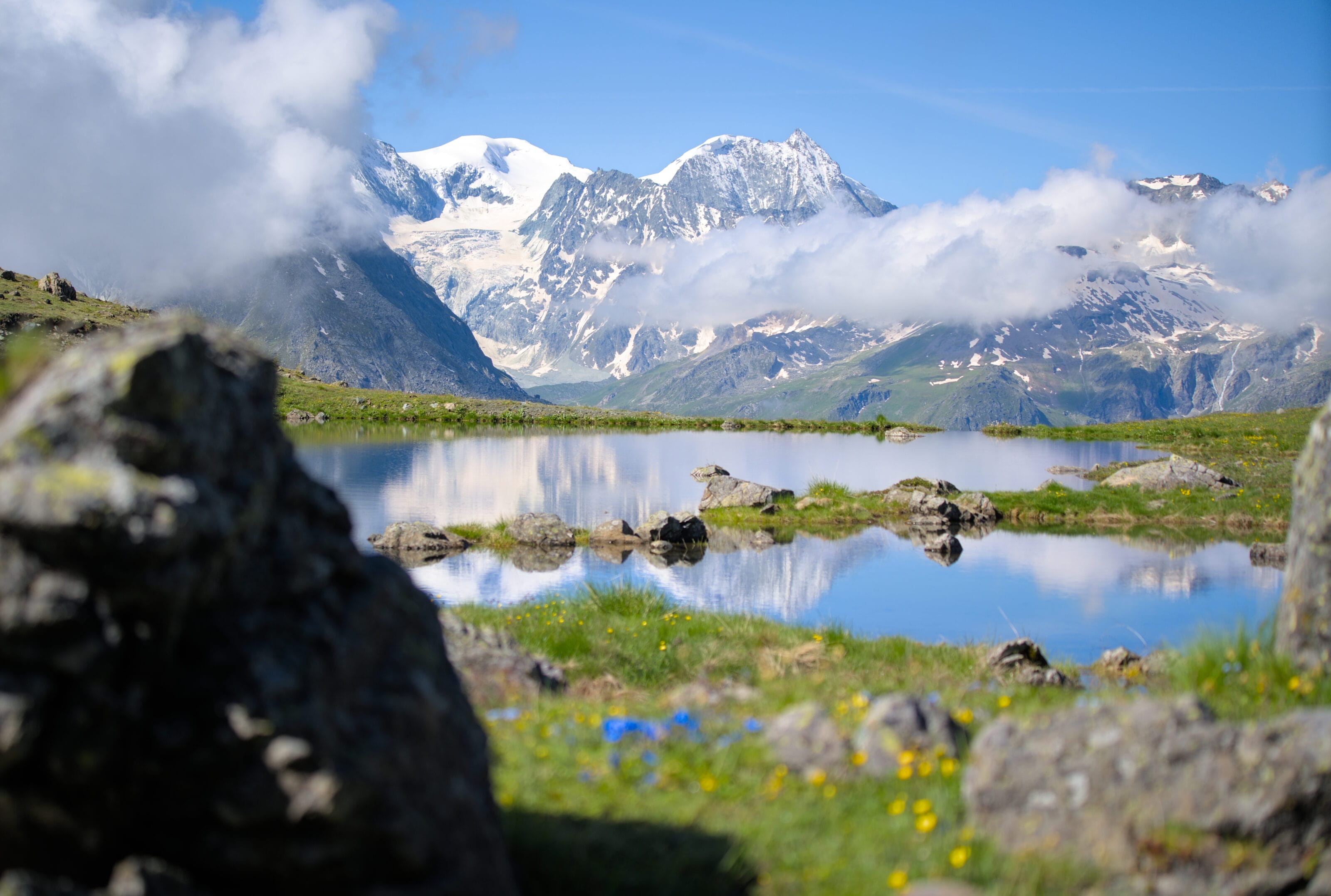
The Tsaté lake(s)
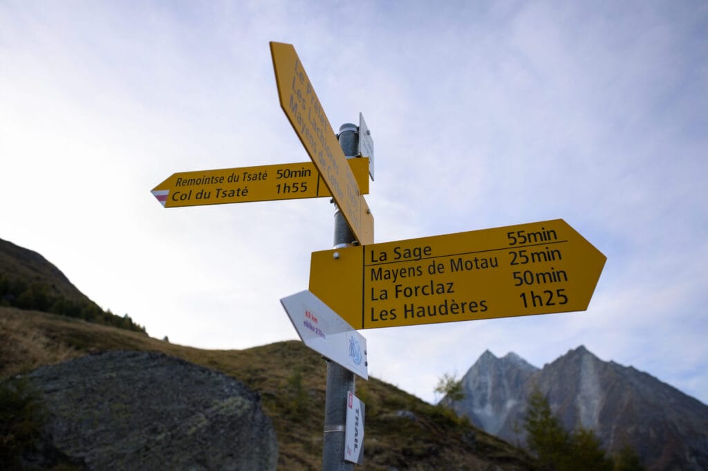
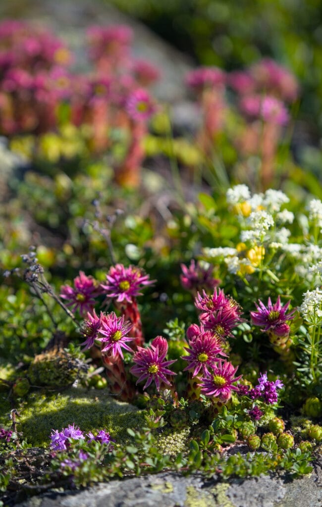
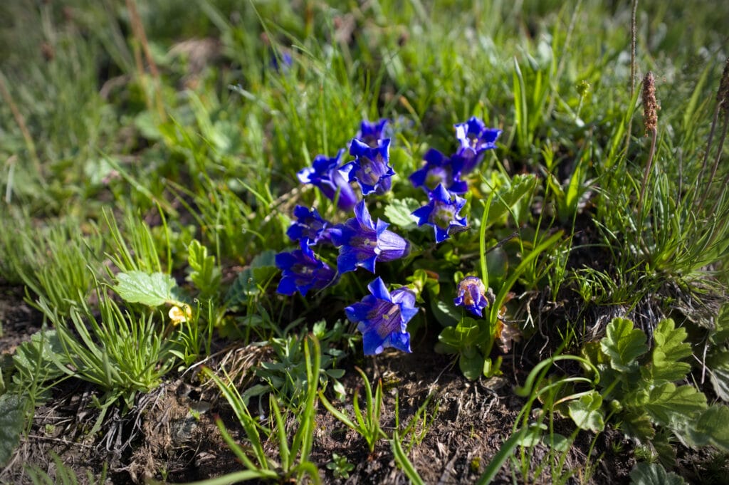
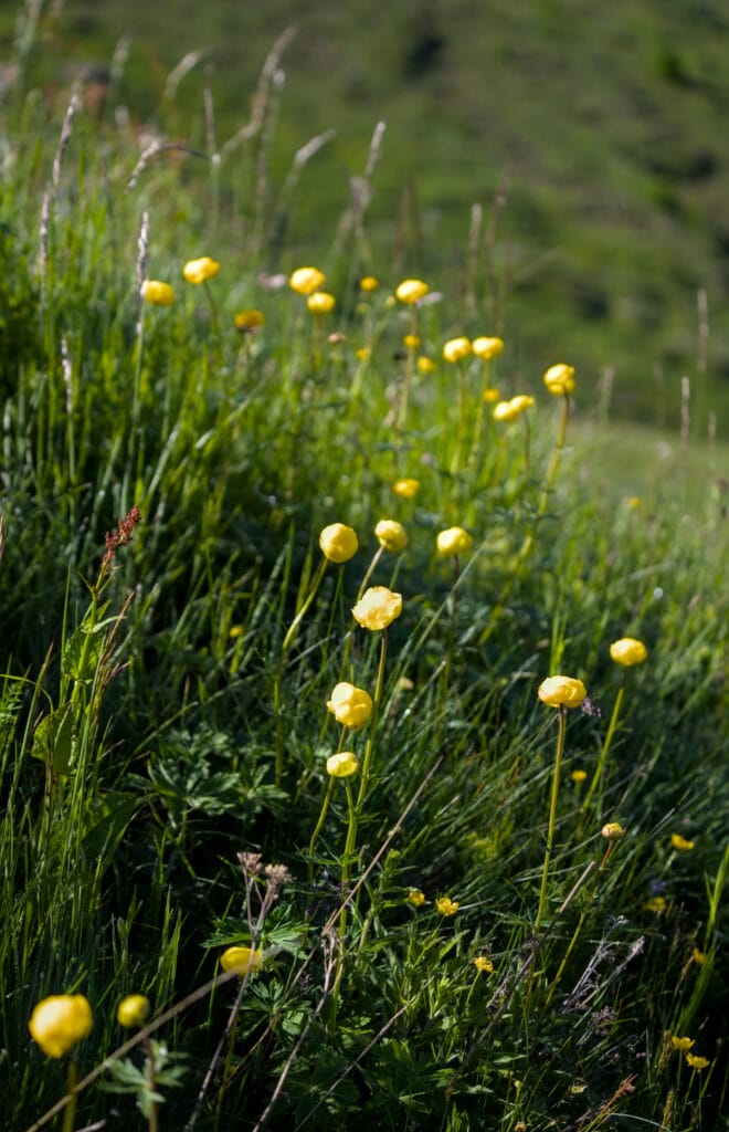
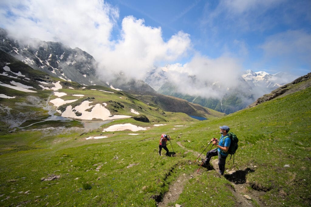
We then carry on uphill through the meadow towards Remointse du Tsaté, indicated 50 minutes away on the signposts. At the beginning of July 2024, there are gorgeous flowers everywhere and we seize the moment to take a well-deserved break with a view of the Veisivis, the Pigne d’Arolla and the Aiguilles Rouges just in front of us. We’ve definitly seen worse scenery!
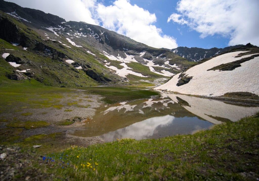
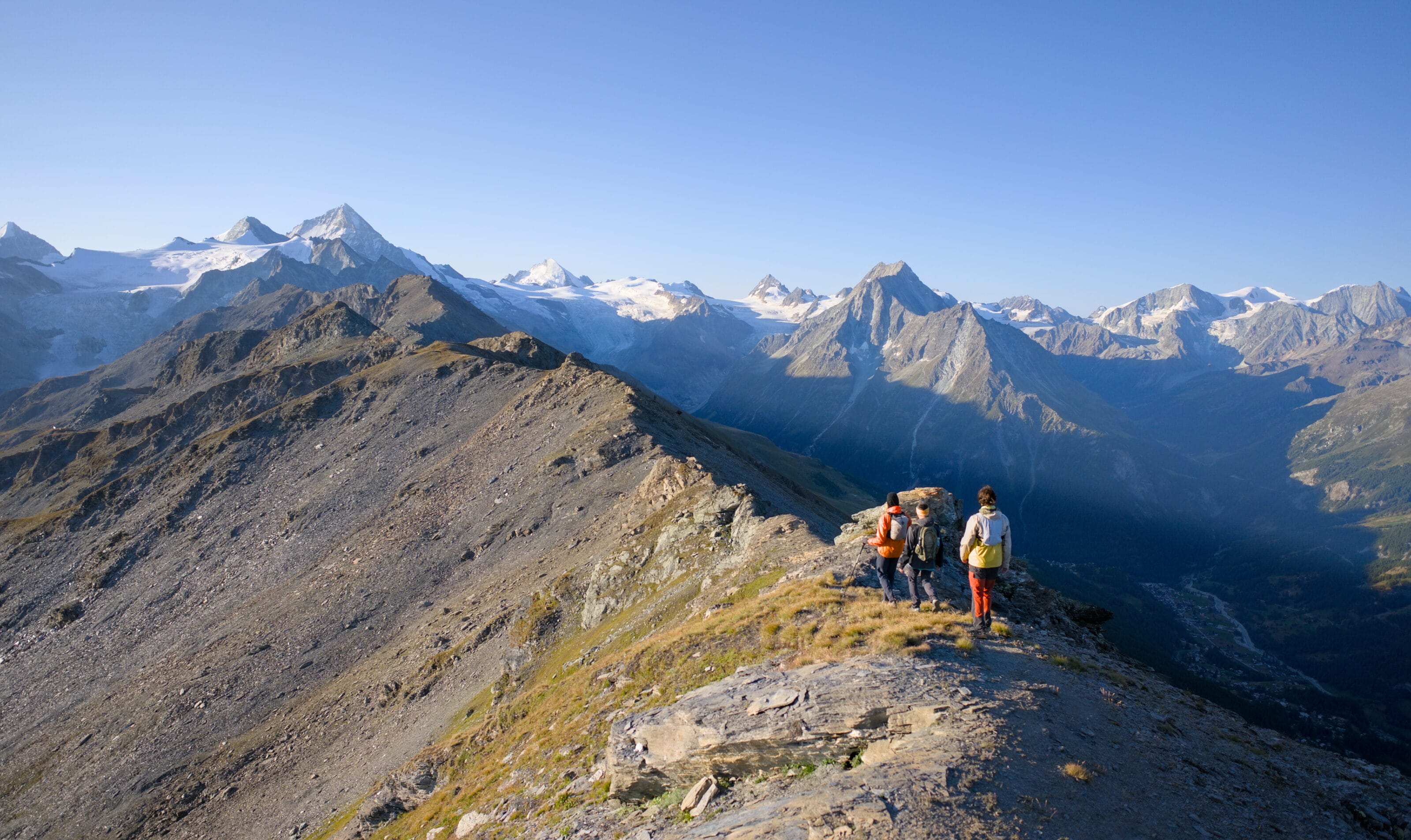
After a good climb, you reach a flat area where you’ll find a large cowshed housing the cows on the mountain pasture in the 2nd half of summer. From here, there are 2 ways up to the Pointe du Tsaté (left or right), but I recommend that you first go right towards the Col du Tsaté, to make sure you don’t miss a splendid first lake.
In good weather, you’ll be able to see the Pigne d’Arolla and its glaciers reflecting in the water. Perfect for a few nice shots 😉

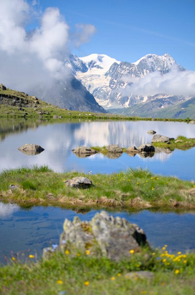
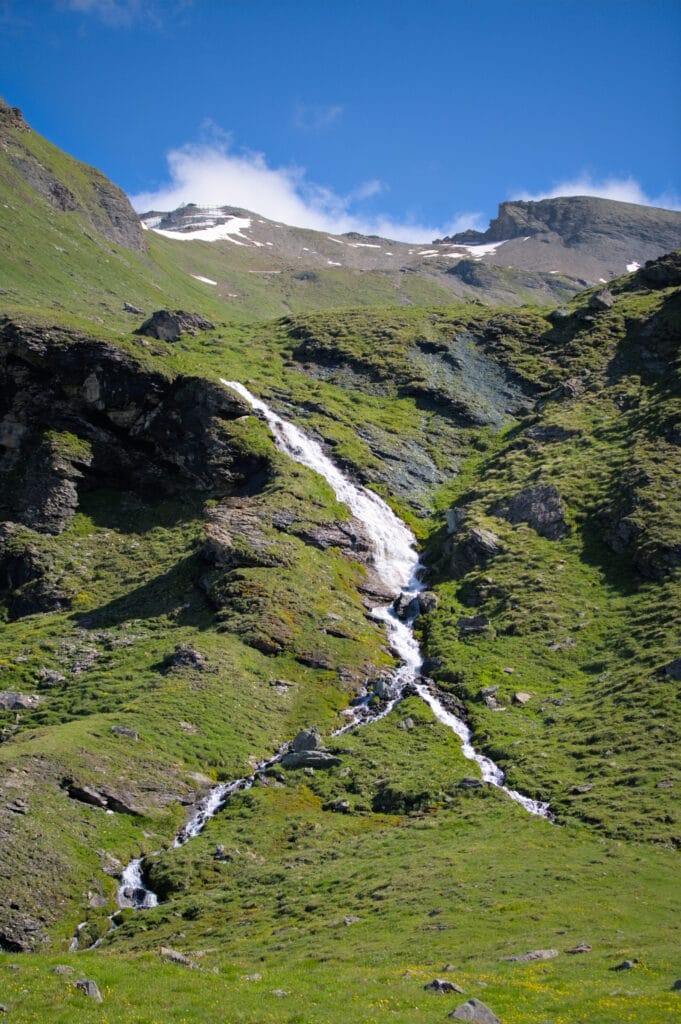
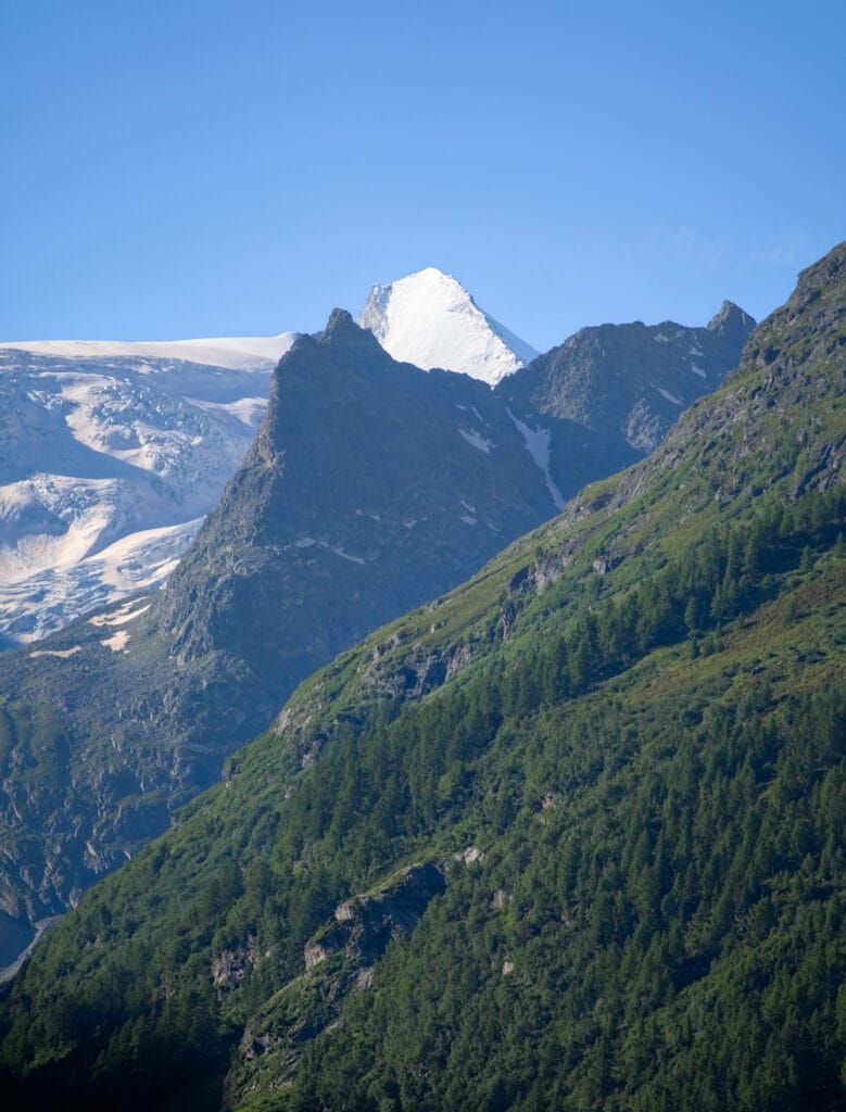
Behind the waterfall, you can clearly see the summit of Pointe du Tsaté, but make no mistake, there’s still over 500m of ascent and 2 kms to cover 🙂 . We carry on along the path that climbs towards the Col du Tsaté before turning left to head towards the Tsaté lake, the last resting place before the final climb!
Last climb to the top of Pointe du Tsaté
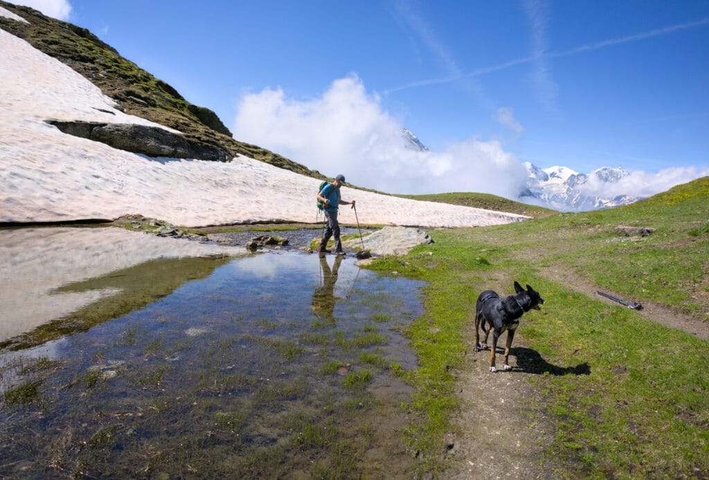
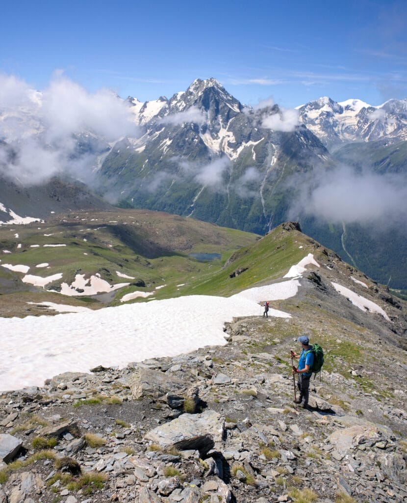
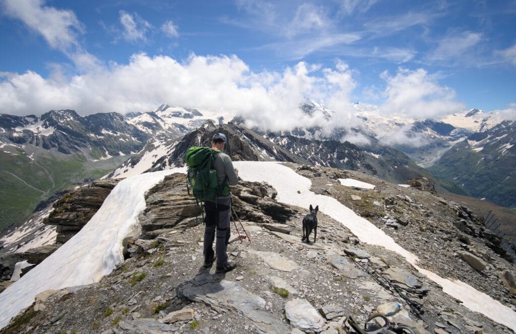
The last part is no easy task, as the last kilometer is almost a 400-m climb. Gradually, the vegetation disappears to make way for the rocks and avalanche barriers below the summit, which were installed after the terrible avalanche of 1999 that killed 12 people between Evolène and Les Haudères.
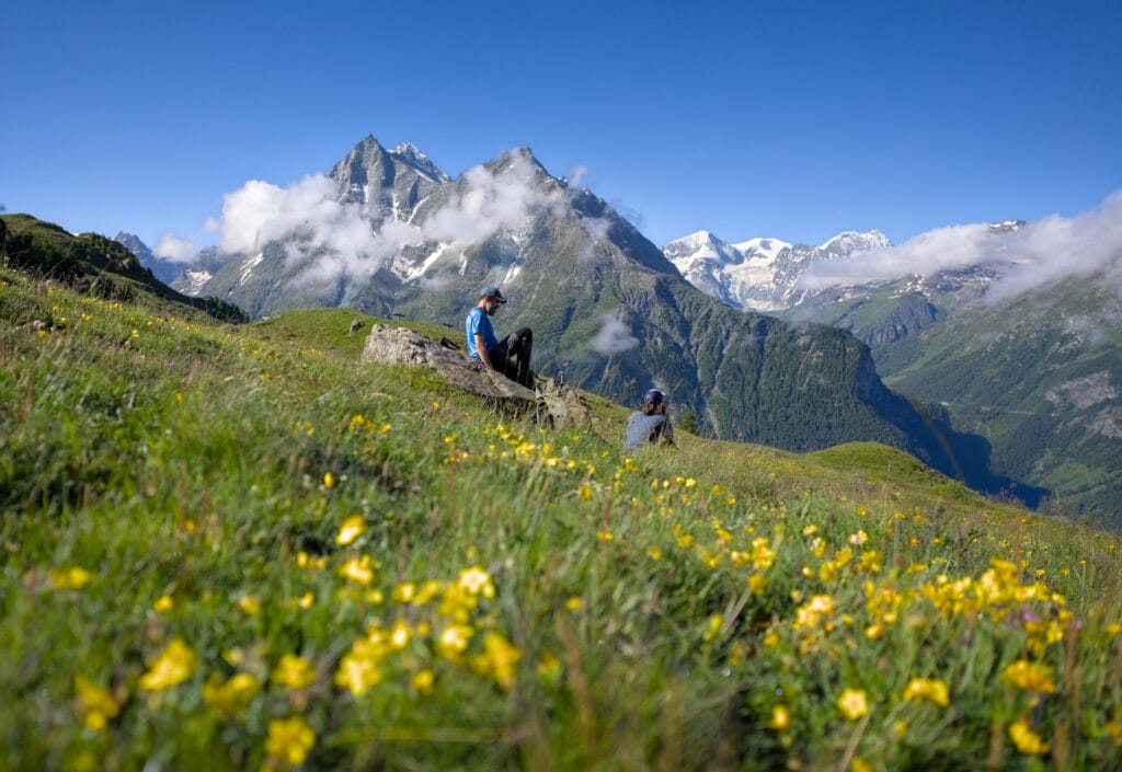
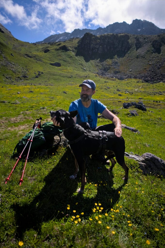
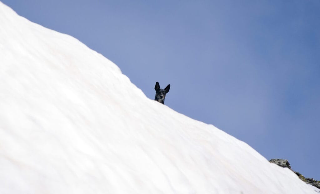
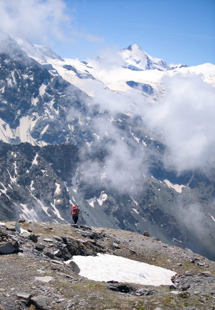
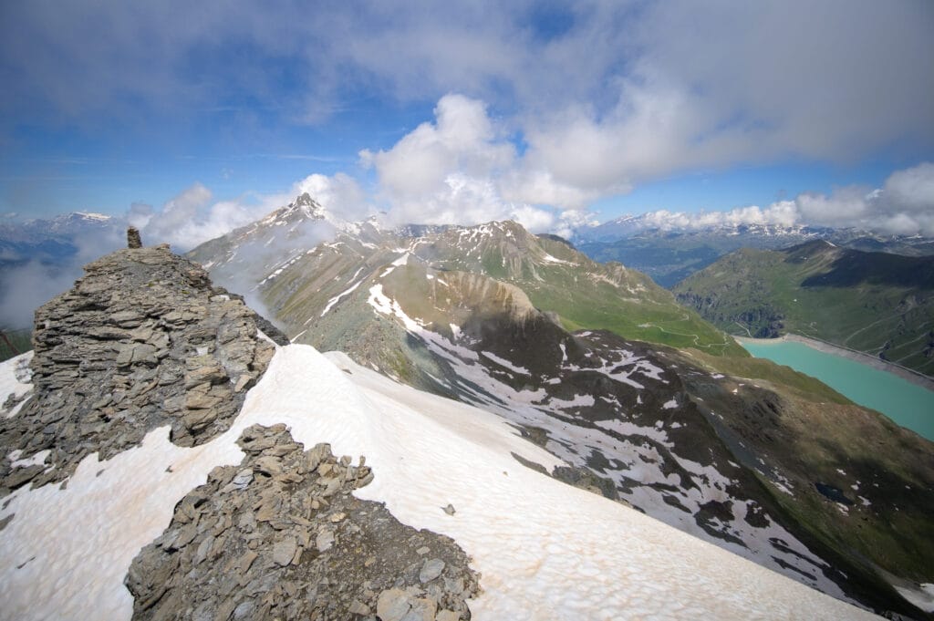
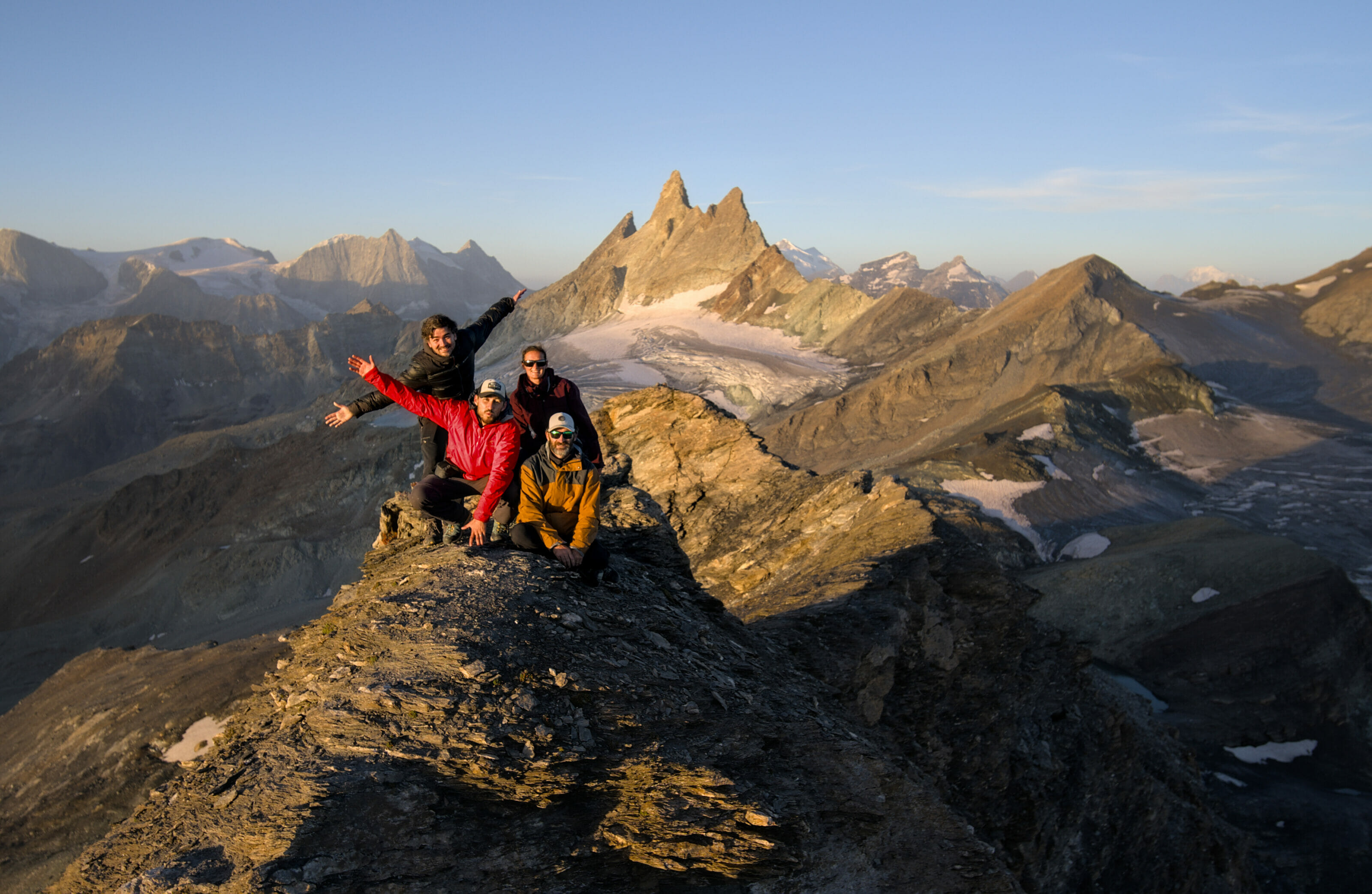
Winchy doesn’t have too much trouble getting up on his side, and he waits for us between two snowdrifts that still persist up there in early summer. After following the ridge, we finally reach the summit cairn with its 360-degree view of the surrounding mountains.
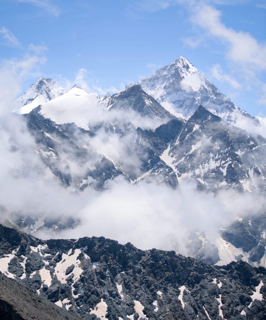
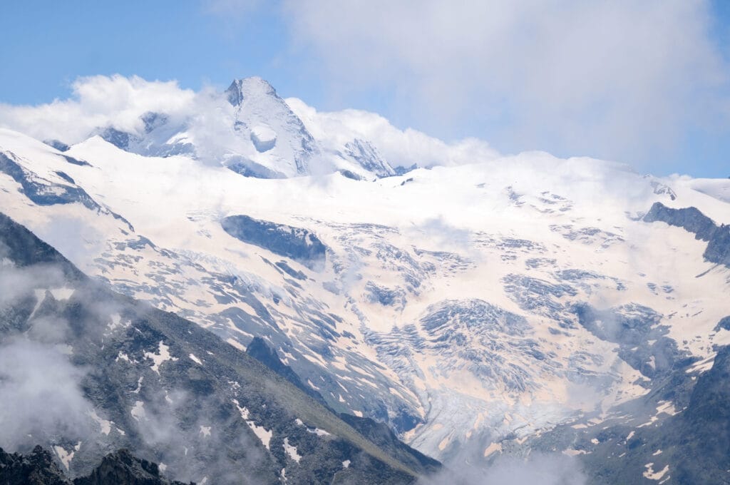
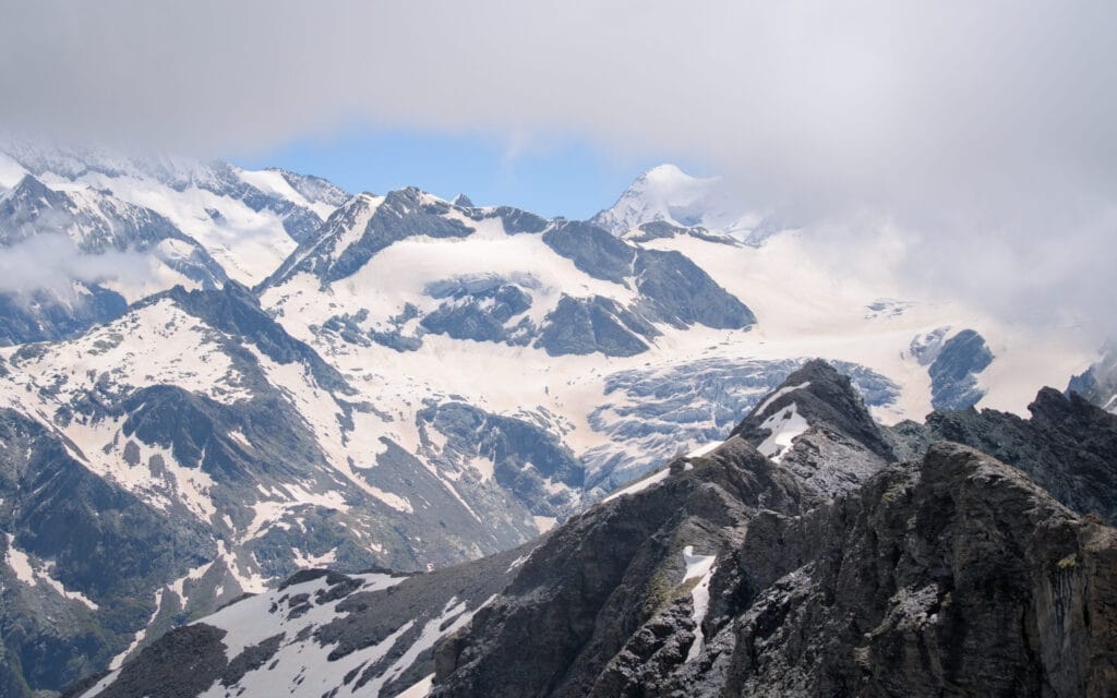
The panorama is breathtaking, with views of almost all the 4000m peaks in the Valais Alps. You can admire the Weisshorn (4505m), the Dent Blanche (4357m), the Grand Combin (4309m), the Zinalrothorn (4221m), the Dent d’Hérens (4171m) and many more!
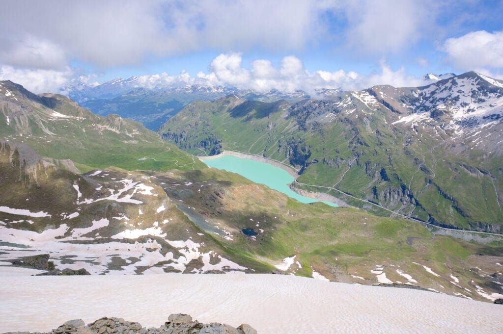
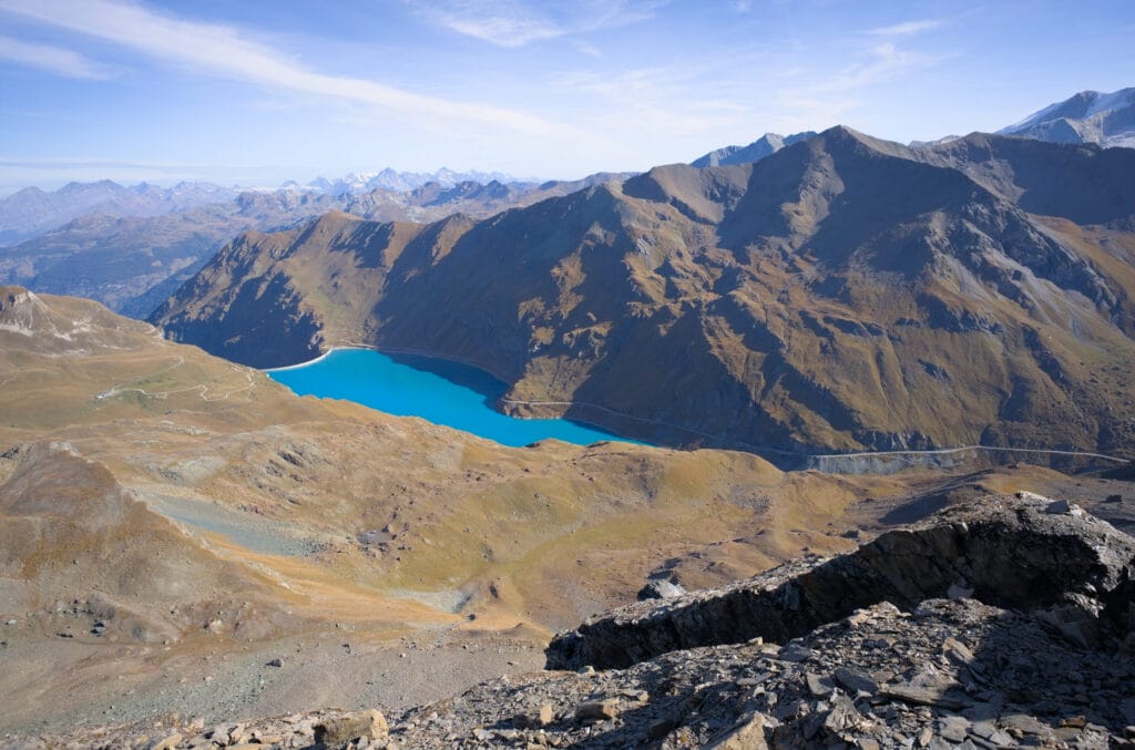
Below, on the Val d’Annivier side, you can see Lake Moiry, which takes on a very different color depending on the season. If you continue along the ridge after the summit, you can see the Pointe du Prélet, the Col de Torrent and the Sasseneire summit a little further on. From the Pointe du Tsaté, you can also walk along the ridge to the Col de Torrent (and eventually to the summit of Sasseneire)… However, this is a T4-T5 difficulty route, and I’ll tell you all about it in a future blog post.
On the way back, unless you’re planning to do the ridge to the Col de Torrent, there’s really no other option but to turn back along the same path as on the way up. You can take a slightly more direct route, avoiding the 1st of the 2 lakes, but it’s more or less the same.
But I also did the Prélet ridge liking with col du Torrent and Sasseneire, so if you’re interested, I wrote a detailed blog post about it here:
Useful info about the hike to Pointe du Tsaté
- Distance: 10,2kms
- Elevation change: 1320m up and down
- Difficulty: medium
- Duration: 4-6h
- Note that the hike towards col du Tsaté is usually part of the walker’s Haute Route
- a blog post about the ridge between Pointe du Tsaté and col de Torrent
That’s it, we hope this post gave you one more reason to come and stretch your legs in the Val d’Hérens, and we look forward to seeing you soon for new adventures in and out of our beautiful valley.
Pin it on Pinterest

Join the discussion