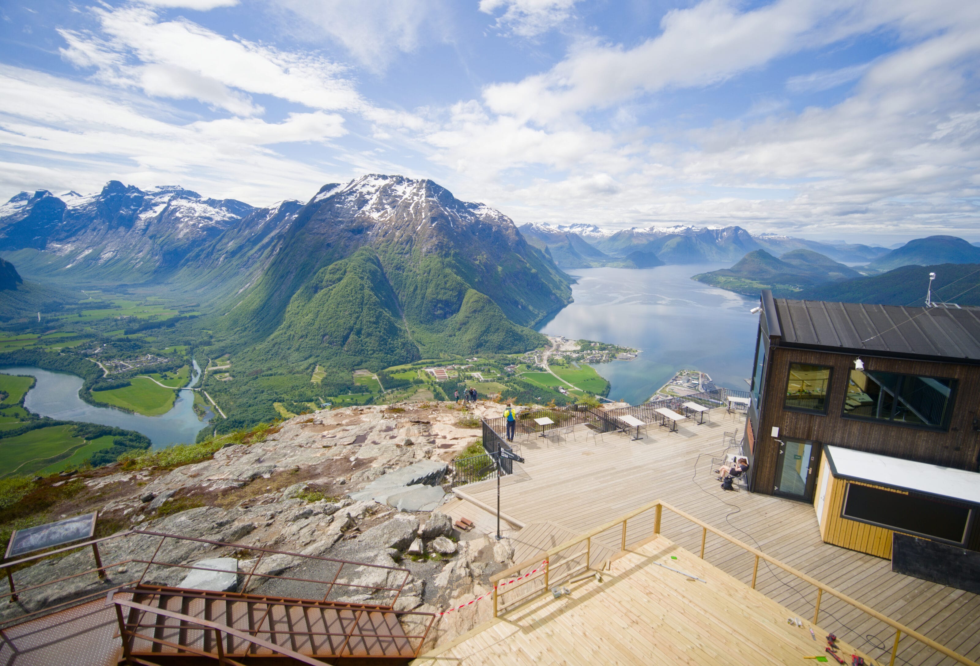
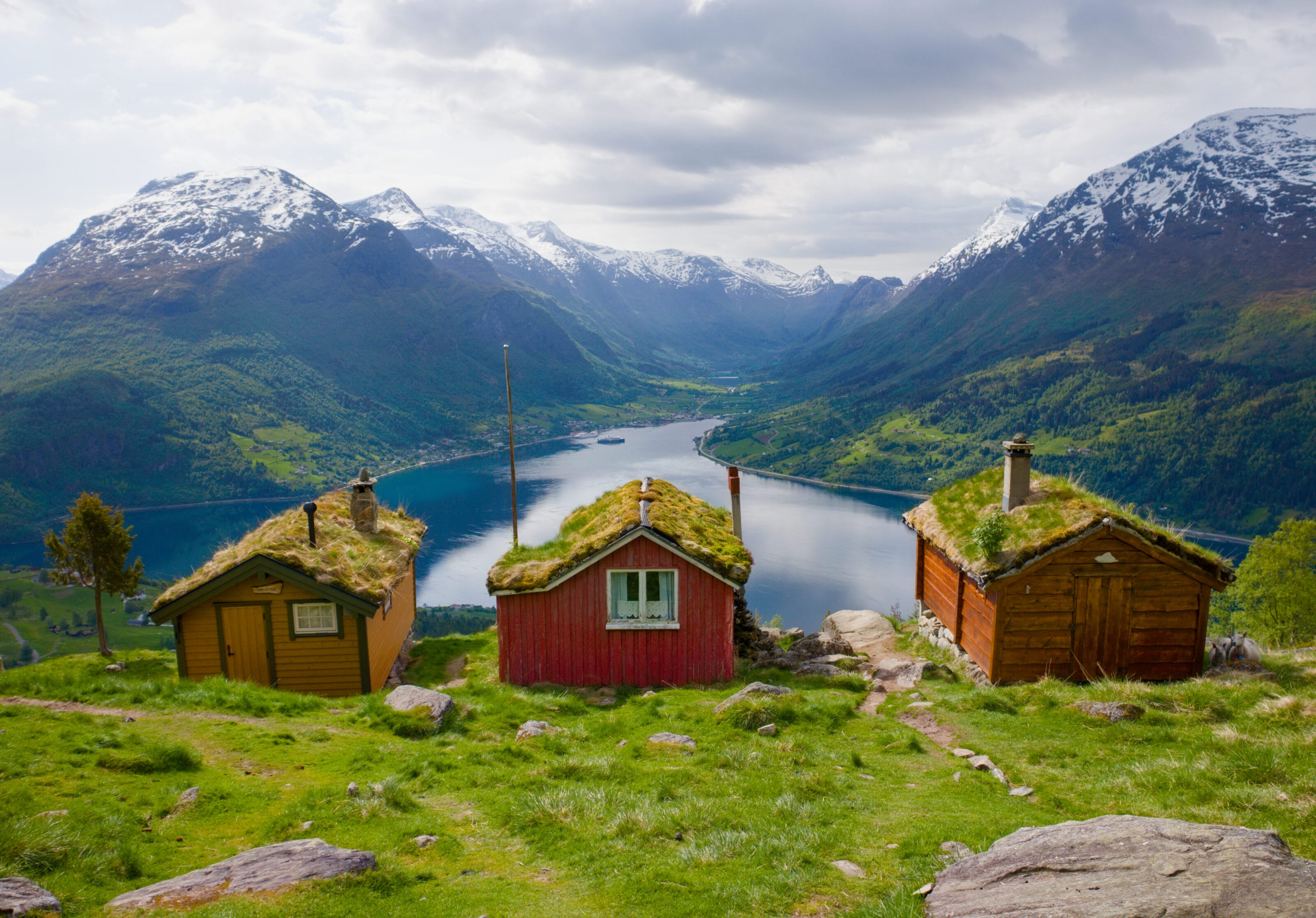
After visiting the Oldedalen Valley and the cute houses with vegetal roofs in Rakssetra, we were heading toward the small island of Runde to see the adorable puffins (it was at the very top of Fabienne’s to-do list for Norway). But on the way, we decided to take a little detour through the Sunnmøre Alps because I’d spotted several hikes there that had caught my eye with their views of the Norangsfjord and the Hjørundfjord.
The Sunnmøre Alps are known for their extremely steep terrain, with mountains rising directly from sea level to over 1,500 meters in elevation. It’s also a region renowned in Norway for ski touring (along with the Lofoten Islands and the Lyngen Alps). So, all things considered, I really wanted to go check it out.
Since we still had plans to visit quite a few places in Norway, we didn’t really stop long in the area (just one night). Also, since we were passing through in late May, there was still quite a bit of snow on the region’s high peaks, so many hiking trails were still inaccessible. But honestly, if you visit the region later in the season, there’s plenty to keep you there much longer than we stayed.
The Norangsdalen Valley and Route 655
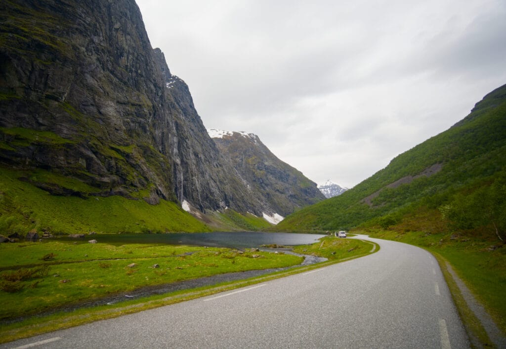
Route 655 is a fairly short road, about 50 km long, that winds through the narrow Norangsdalen valley to the village of Urke (where you have to take a ferry to continue). While planning our trip, this road had slipped a bit under our radar, but in the end, it turned out to be one of the most beautiful roads we drove on during our entire trip to Norway.
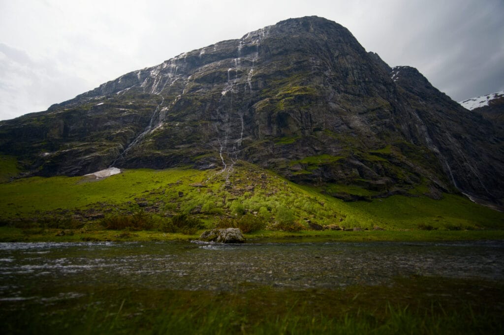
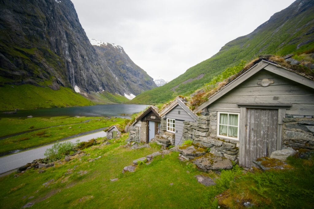
On either side of the valley, there are impressive peaks that rise almost vertically more than 1,000 meters above the road. We also pass through the Urasetra mountain pasture with its charming little huts featuring green roofs that blend into the landscape. Then we reach Øye and its famous Union Hotel, which blends the style of a Swiss chalet with Norwegian Dragestil architecture. From there, we also have a breathtaking view of Slogen (the iconic peak of the Sunnmøre Alps) and the entire Urkeegga ridge.
The road then continues to the hamlet of Urke, where the Urkeegga and Saksa hiking trails begin.
The Urkeegga Ridge Hike
As I was passing through the Norangsdalen Valley and looked up at the Urkeegga ridge, it seemed to me that there wasn’t much snow left there. I thought it would be a shame to pass through there without doing this run, which I’d read excellent reviews about online. But since it was already early afternoon and the weather wasn’t great, I decided to trail run alone on Urkeegga, since Fabienne didn’t really feel like doing another hike that day (we’d already done Rakssetra that morning, so it was totally understandable).
So she drops me off at the hiking trail parking lot before heading off to find a quiet spot to chill and do some journaling 😉 .
Urkeegga: Practical and Logistical Information
- Distance: about 10 km
- Elevation gain/loss: approximately 950 m of ascent and descent
- Duration: 5–6 hours in hiking mode, 2–4 hours in trail running mode, depending on your pace
- Difficulty: Fairly difficult if the terrain is dry and snow-free; difficult if there is still snow on the ground (which was the case here)
- Parking: Personally, I would recommend parking at P1 (shown on the map below) because that way you’ll be able to get to your car right after the steep descent at the end of the hike without having to walk back up to P2. Also, P1 costs “only” 50 NOK, whereas to get to P2 you have to pay a road usage fee of 100 NOK.
Hike Map (+ GPX)
My Experience on the Urkeegga Hike
As I mentioned in the practical information section, I recommend parking at P1 because you won’t have to pay 100 NOK to use the private road leading to P2. I hiked the trail clockwise since the climb is much gentler in that direction, which allowed me to run a good portion of the section up to the ridge. But after that, it doesn’t make much difference, and if you prefer to tackle the steepest part of the hike on the way up, you can also hike the Urkeegga loop in the opposite direction.
From P1, simply follow a trail through the forest to P2 (1.2 km, 150 m elevation gain). That’s where the actual hiking trail begins, and where you’ll find information signs about the Urkeegga loop. Note that on the map, you’ll see three loop options marked: the first in red (difficulty level 3/4 on the Norwegian hiking scale) and the next two in black, which is the highest difficulty level (4/4) for hikes in Norway. I personally did the intermediate loop, which included the black section.
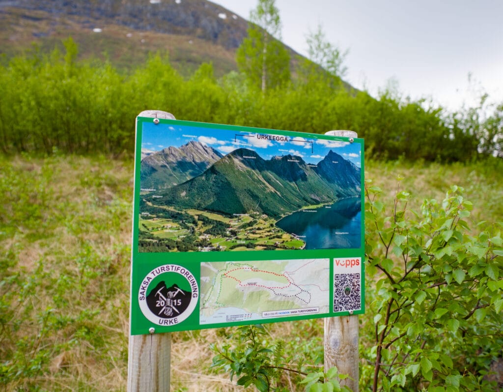
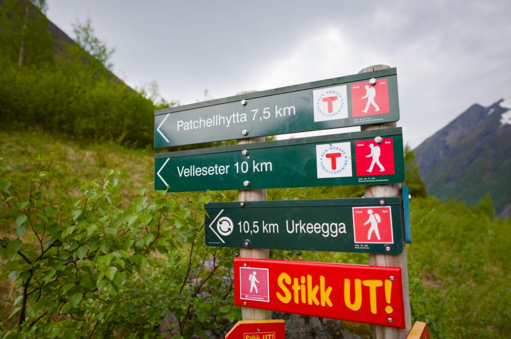
I start by tackling the climb up the Langsæter Valley. For once in Norway, the trail is really good, the climb is steady, and I’m able to keep running for quite a while. I pass the first fork in the trail, where I continue to the right, leaving behind a trail on the left that climbs into another valley and another path that leads to the Patchellhytta cabin and also takes you to the summit of Slogen.
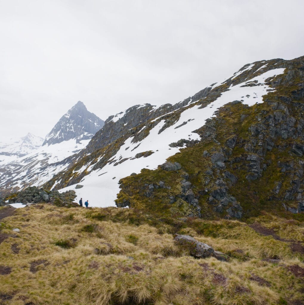
I pass the only two other hikers I’ll see all day and whom I’ll meet again on the ridge a little further up (they followed the red trail, which I’ve marked in the photo below, while I continued farther along the black trail). That’s also where I start to realize that while the ridge didn’t seem too snowy from Øye, it’s a different story from this side.
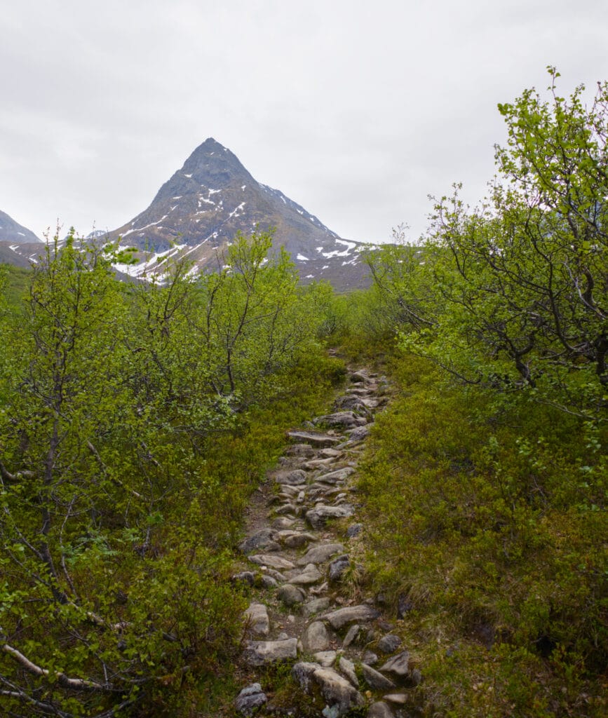
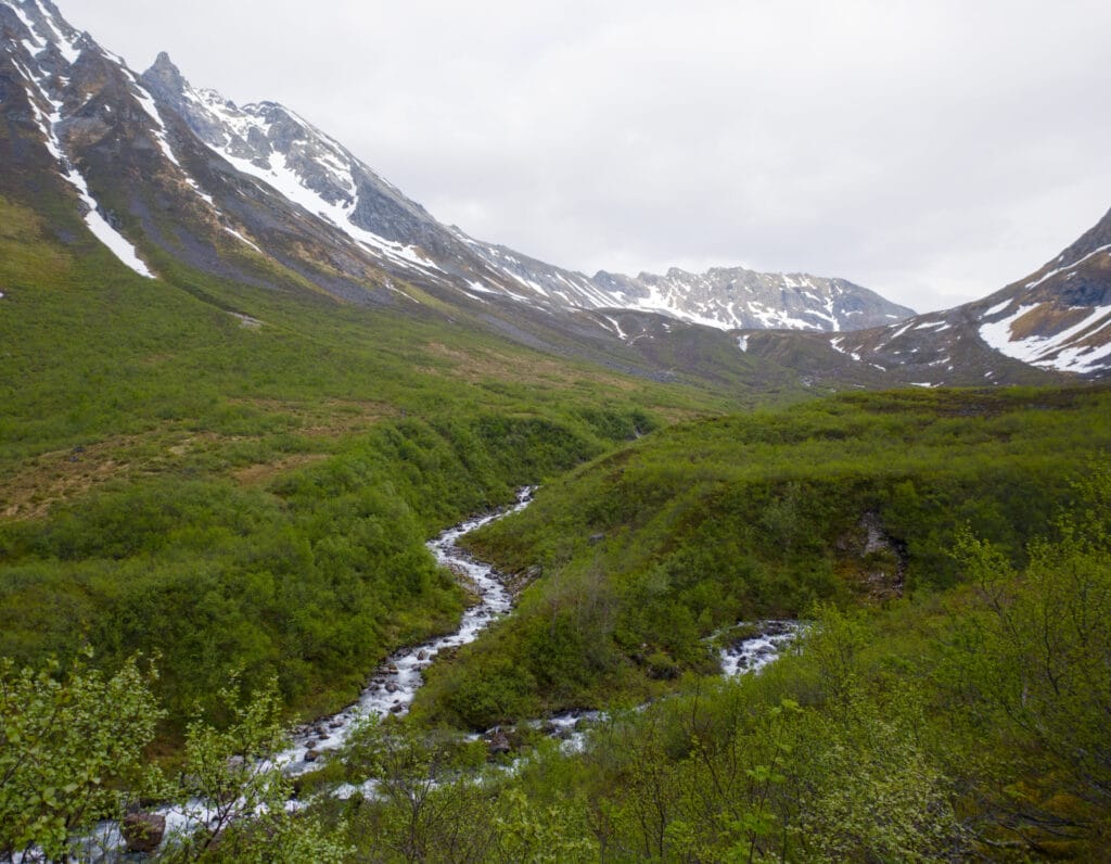
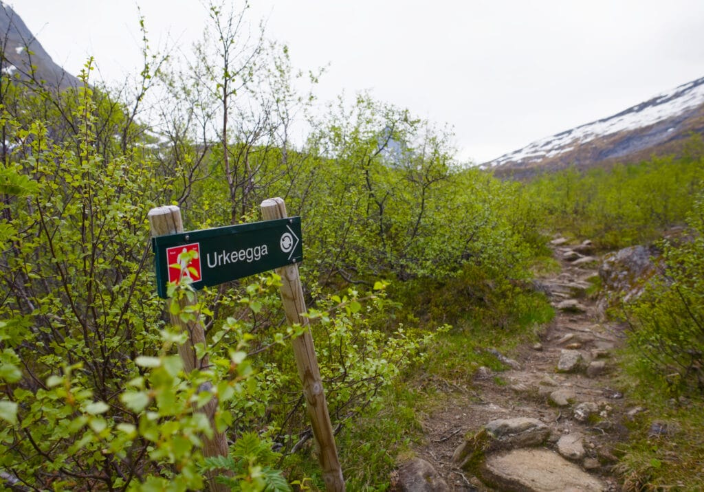
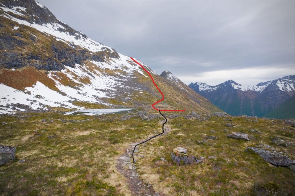
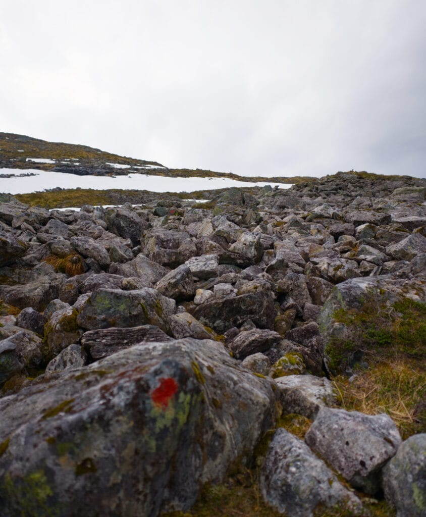
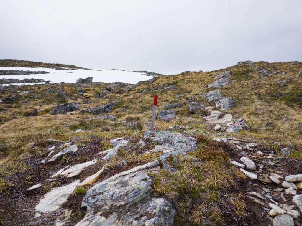
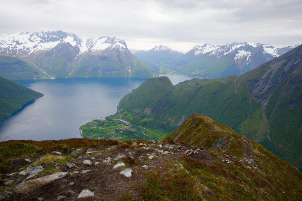
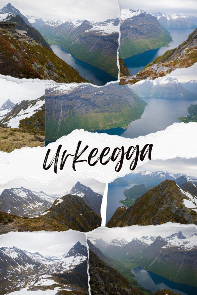
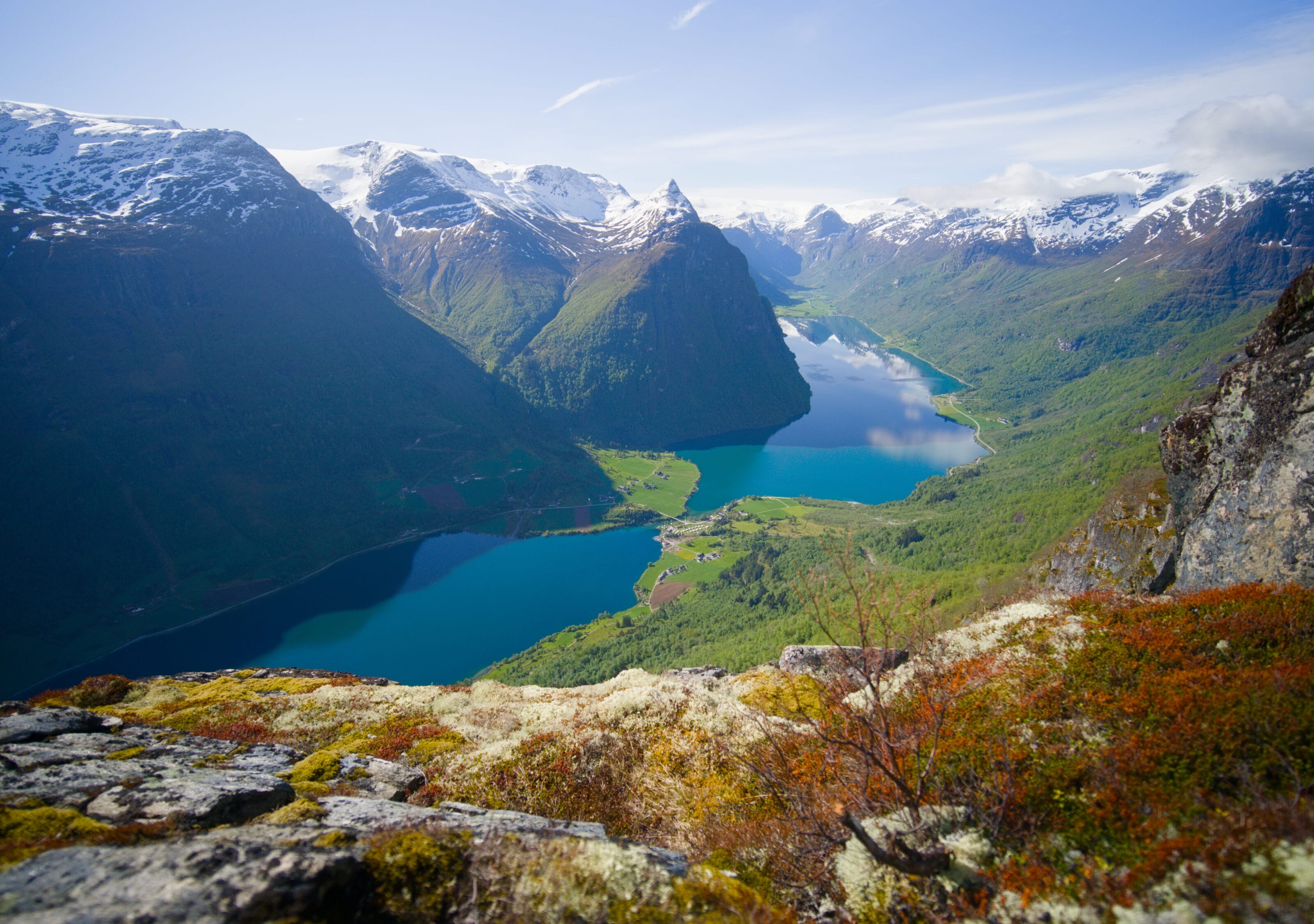
After a short flat section, the next part becomes rockier, though it’s not all that difficult. I now have a beautiful view of the imposing pyramid-shaped Mount Slogen right in front of me. The trail is well marked with red dots or wooden stakes painted red (which makes me think this trail might not be a black trail after all). The last section before the ridge looks more like a scree slope than a trail. Given how much snow is still on the ground, I don’t necessarily try to follow the markers but rather to avoid the snow 😉 . I finally reach the ridge, where I already have a magnificent view of the Norangsfjord 1,000 meters below.
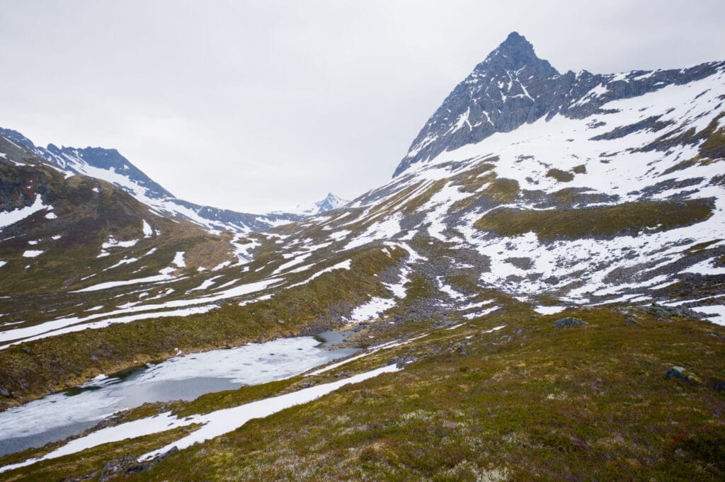
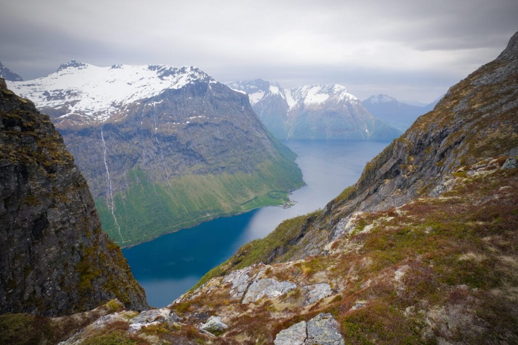
Once on the ridge, I wasn’t quite done climbing yet, since I still had to reach Mandekollen (1,021 m), the highest point of the hike. Aside from the snow, which prevented me from following the trail exactly, I didn’t find this section particularly difficult. The only risk, in my opinion, is tripping because you’ll be too busy admiring the spectacular scenery unfolding before you 🙂 .
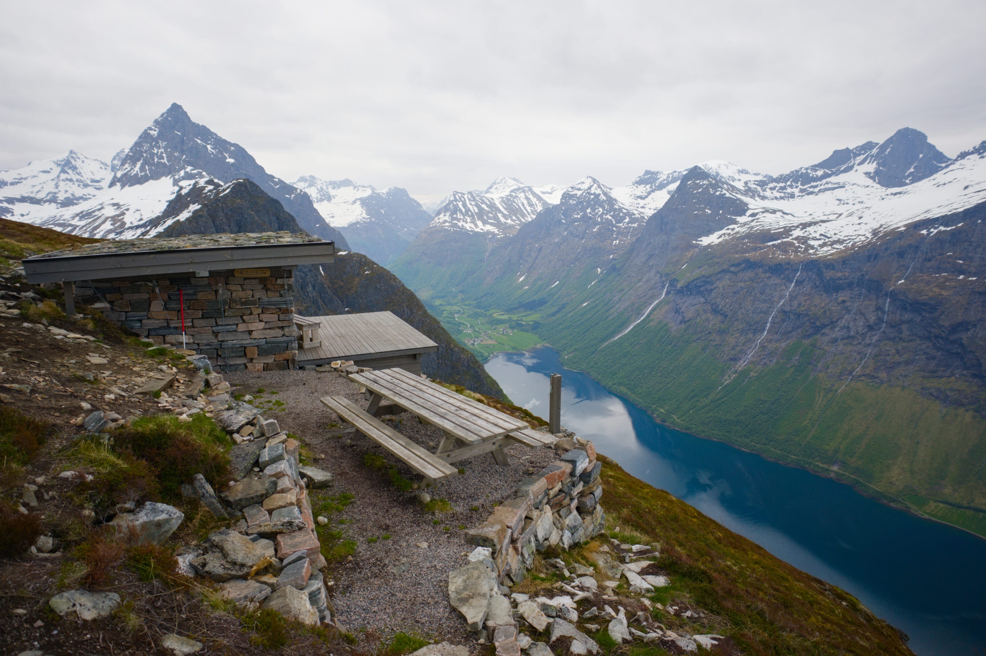
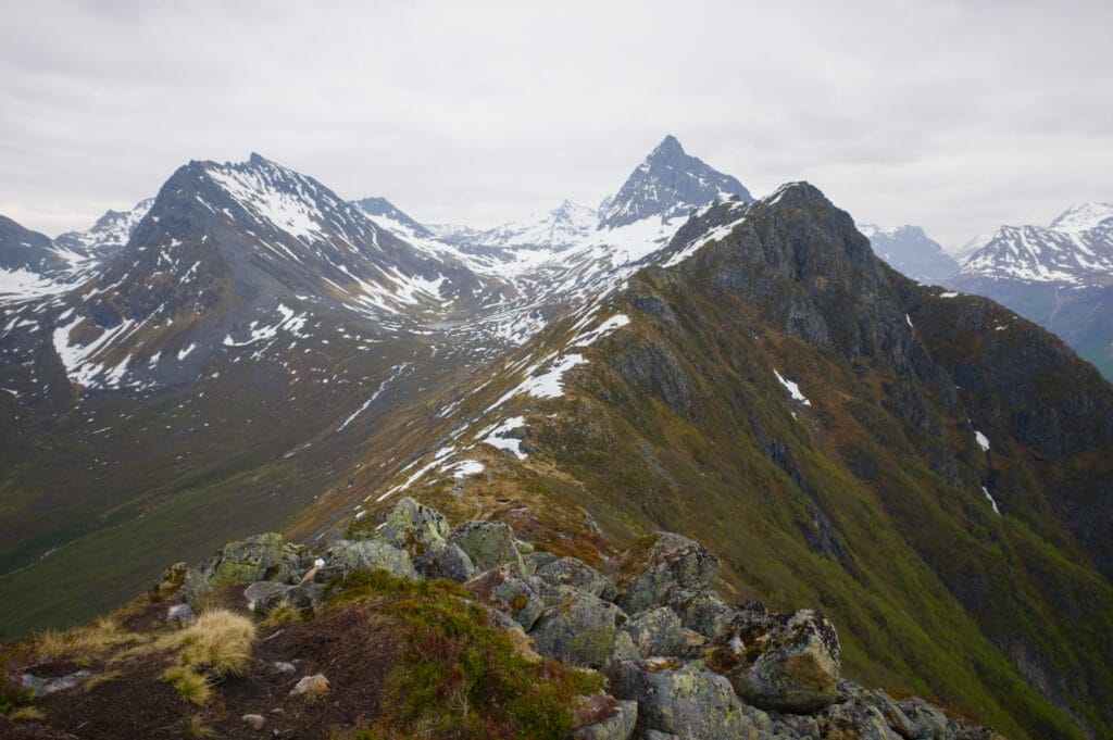
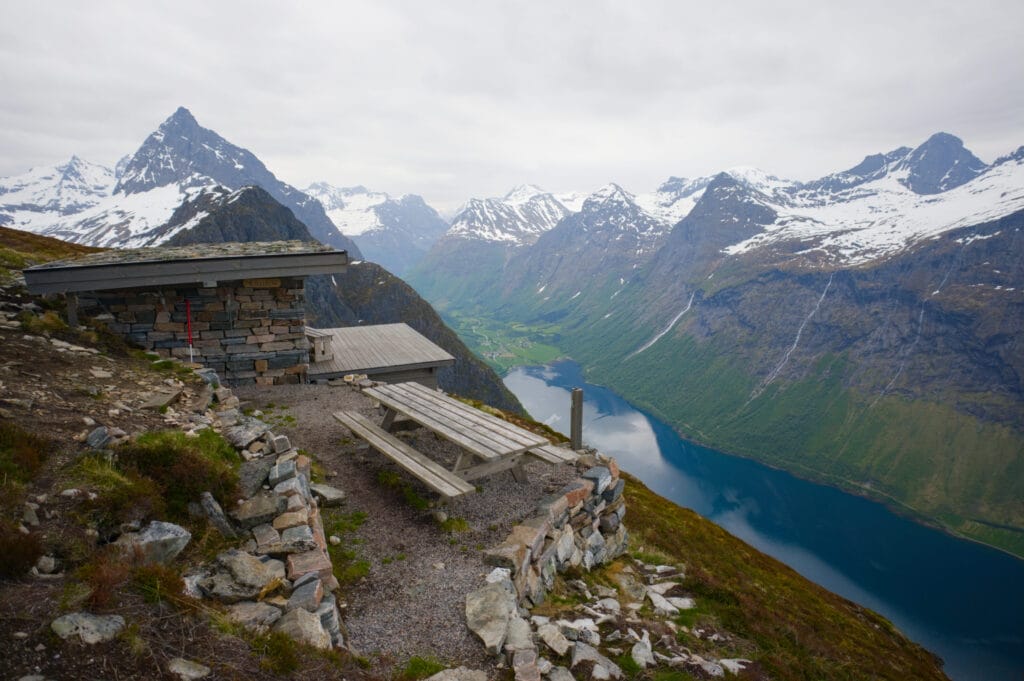
Once at the summit, you actually remain at an elevation of over 1,000 meters for a few hundred meters, with a spectacular view of the entire Sunnmøre Alps and the fjords below. In front of me, the entire Urkeegga ridge stretches out, with the summit of Klokksegga (940 m) in the distance, the final high point before the long descent back to the parking lot. Magnificent!
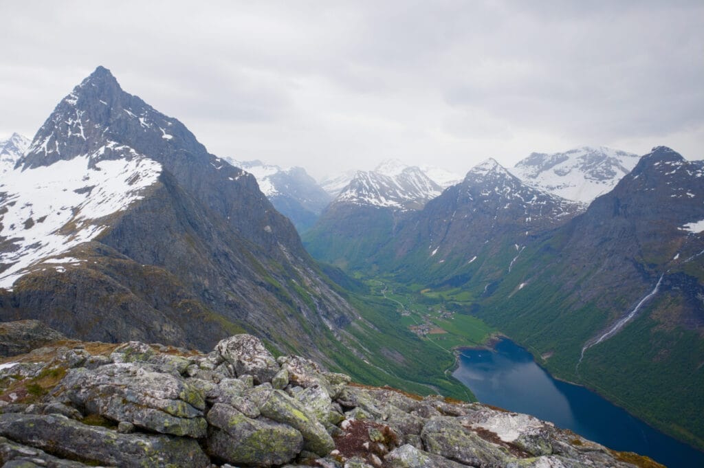
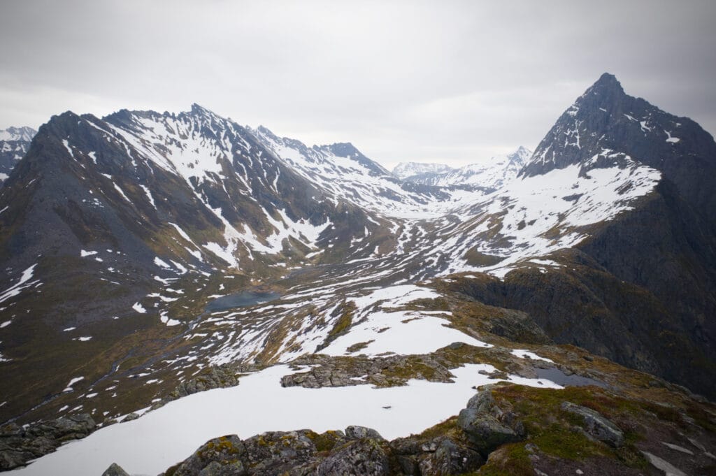
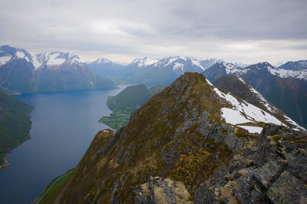
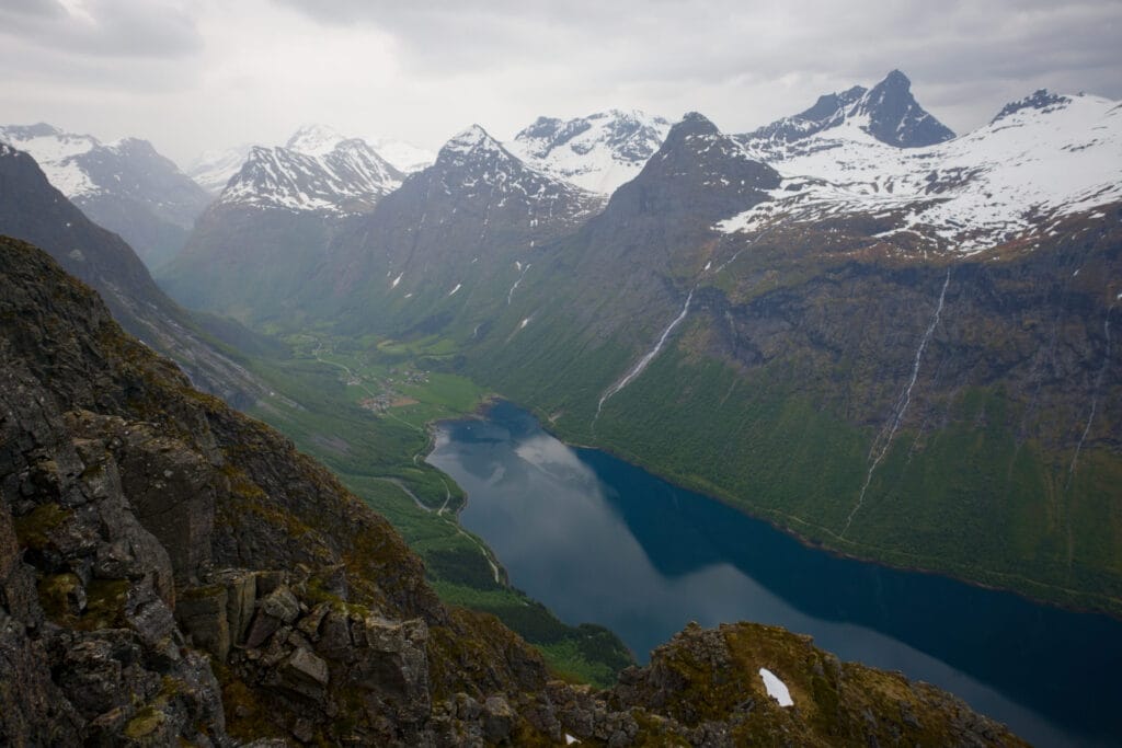
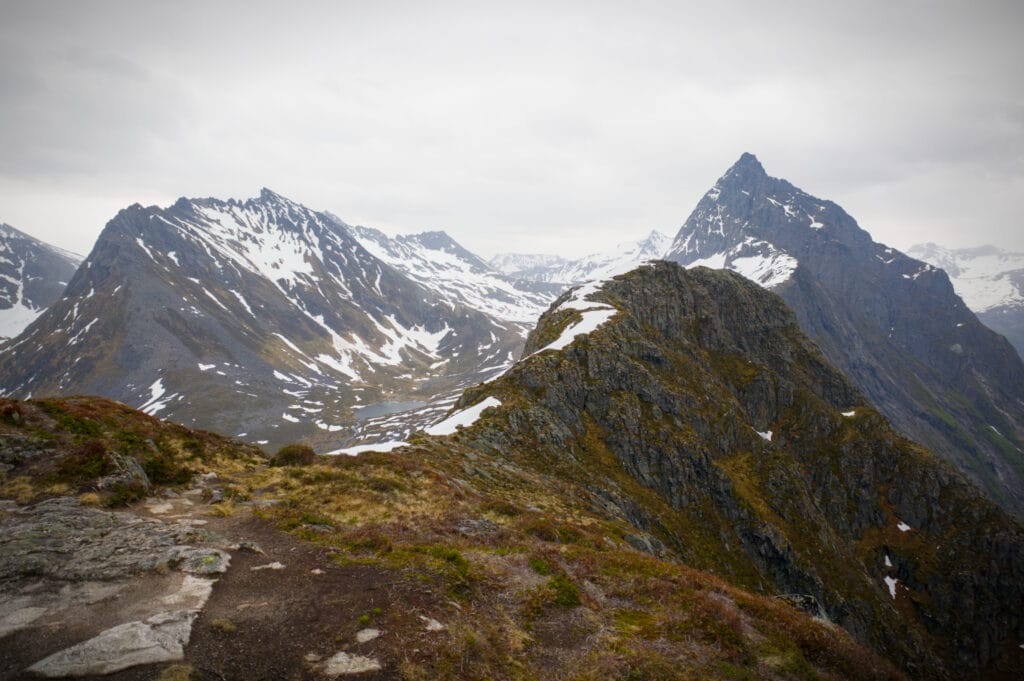
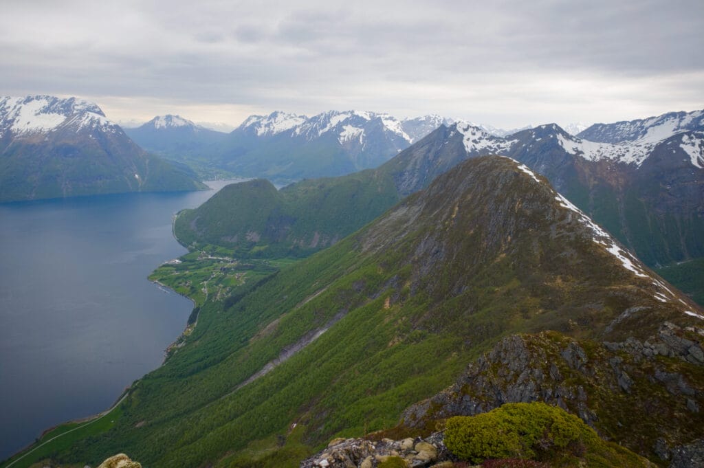
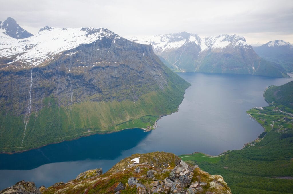
Personally, I found the hardest part of the entire ridge to be the descent to the intersection with the red trail, but mainly because of the snow. It wasn’t exactly easy, but if you come later in the season, I doubt this part will be much of a problem.
That’s where I also ran into the two hikers I’d passed earlier. After chatting with them for a bit, I continued my little run along the ridge to reach the summit of Klokksegga and then the Egilbu shelter a few meters further. The shelter offers me a good protection from the wind and the few raindrops that started falling. I take the opportunity to take a well-deserved break and eat half a pack of Freia chocolate while admiring the view ;).
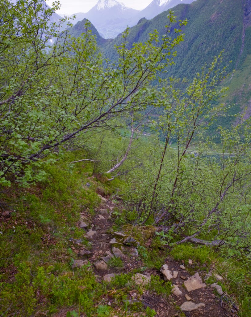
Finally, I start the steep descent back to the parking lot (850 m of elevation loss in less than 2 km, all the same). It’s true that if you’re not entirely comfortable with downhill hiking, you might prefer to hike the loop in the opposite direction, since this is arguably the most difficult part of the hike (especially since the trail is usually very muddy given how much it rains in Norway).
- The Urkeegga Hike by Horizon Rando
- The Urkeegga Hike by Hunting for Bliss (en)
- The Urkeegga Hike in In a Far Away Land (en)
Other hikes you might enjoy in the area
As I mentioned in the introduction, there’s no shortage of hiking options in the Sunnmøre Alps. If you’re visiting a little later in the season and have a little more time than we did to explore the area, here are a few more hiking ideas
Slogan
It is the region’s iconic peak, towering over the Urkeegga ridge. It’s usually climbed as a round trip starting from Øye via a black trail (the highest difficulty level in Norway), though it’s also possible to reach the Urkeegga route from behind. It’s even a notch harder than Urkeegga (1,500 meters of elevation gain in just 3.5 kilometers). So now you’ve been warned.
Saksa
This is the most famous hike in the region, and I’d been torn between this one and Urkeegga, since the summit of Saksa is just over 1,000 meters above sea level (so there shouldn’t be too much of a problem with snow). But in the end, I preferred to do the ridge hike as a loop rather than a round trip. That said, the scenery looks just as magnificent at the summit of Saksa as it does along the Urkeegga ridge.
Jakta
This is the peak located right across from Slogen, and it’s probably also much less crowded than the previous two options (at least that’s the impression you get from looking at the AllTrails heatmap). This hike can also be done as a round trip from Øye, and given the mountain’s location, the view from the summit must be pretty incredible.
Well, I hope this article has inspired you to hike the Urkeegga Ridge and explore the Sunnmøre Alps a little more thoroughly than we did. And if you have any questions, feel free to leave them in the comments section of this article.
Pin it on Pinterest

Join the discussion