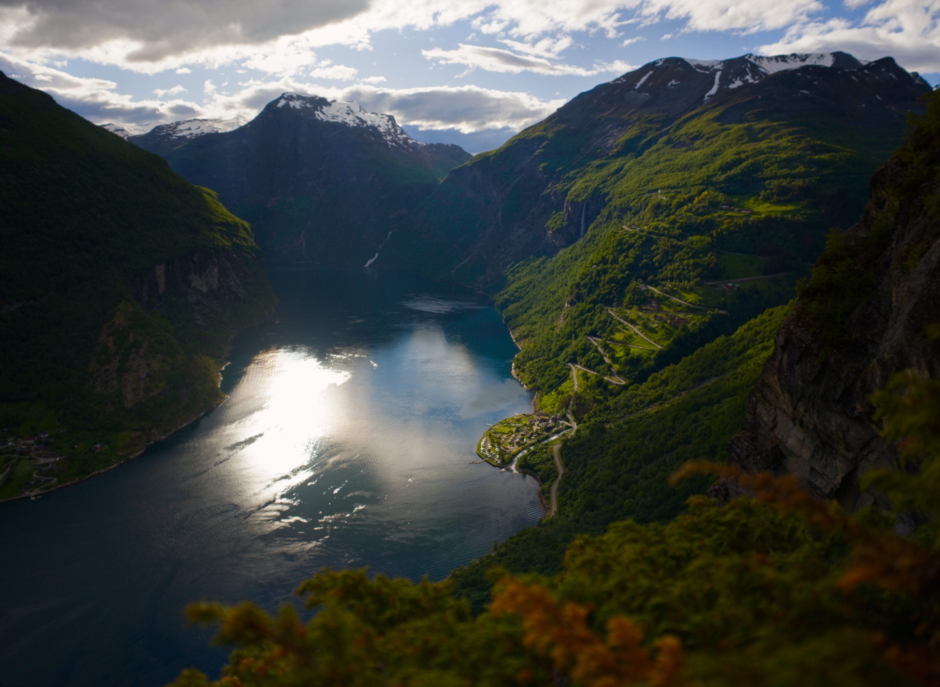
During our road trip in Norway, we spent four days in Geiranger. Known for its fjord and incredible scenery, this small town is also the perfect starting point for many hikes. In our previous posts, we’ve already told you about the walk to Lake Møllsvatnet and the hike to the summit of Geitfonnegga, which overlooks the Geirangerfjord.
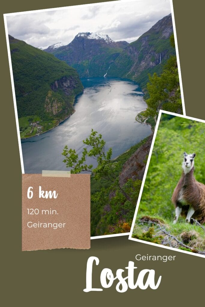
Today we’re suggesting another route (much easier and more accessible than the Geitfonnegga) that also offers breathtaking panoramic views of the Geirangerfjord: The hike up to Løsta
Geiranger: The King of Norway’s Fjords
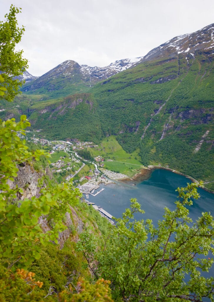
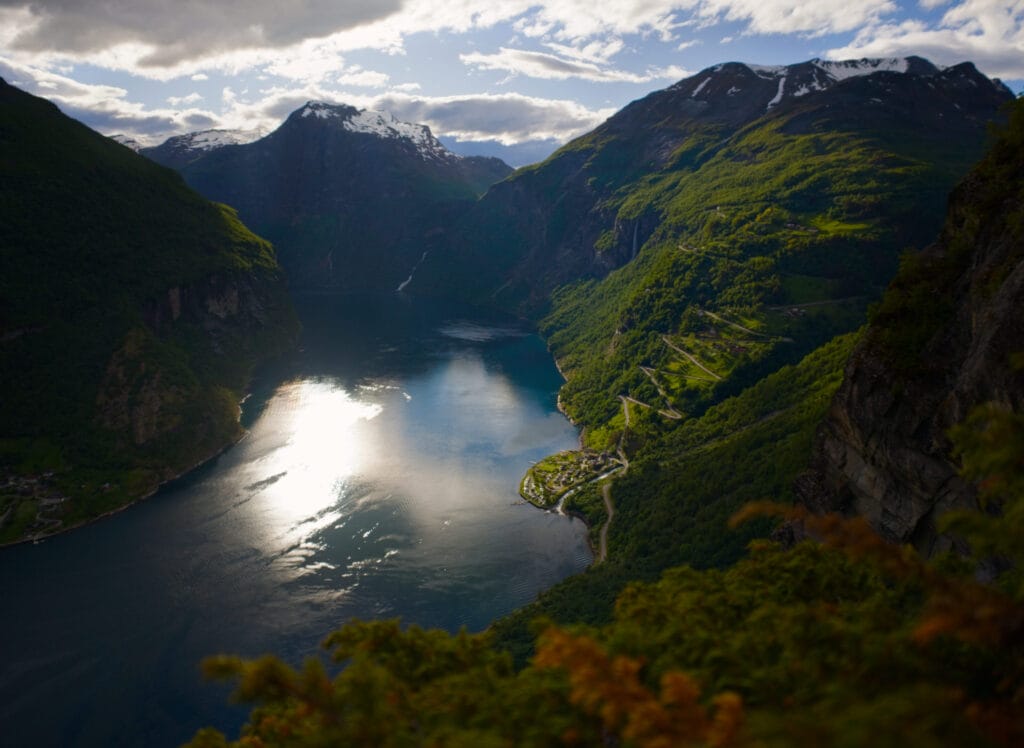
Tucked away at the head of one of Norway’s most famous fjords, the small town of Geiranger is a surprising place, to say the least. With only a few hundred residents, it’s hard to imagine just how many visitors Geiranger welcomes each year, all coming to admire the spectacular scenery of the Geirangerfjord.
Tourism has, in fact, been part of Geiranger’s history for many years: as early as the second half of the 19th century, the first steamboats and cruise ships began venturing into the fjord, gradually contributing to the village’s development as a tourist destination. Even today, Geiranger remains a must-see stop for many travelers… and for the cruise ships that sail through the Norwegian fjords. This point, however, is highly debated, and we plan to revisit it in a future article…
Since 2005, the Geirangerfjord has been listed as a UNESCO World Heritage Site, along with the Nærøyfjord. When you see the steep mountains, the endless waterfalls, and the color of the water, it’s easy to understand why this corner of Norway has become one of the country’s most iconic landscapes.
The hike to Løsta: starting from downtown Geiranger
There’s no shortage of hiking options in Geiranger! Today, we’re going to focus on a hike that, in our opinion, offers one of the best effort-to-view ratios. It’s a beautiful hike that takes between 2 and 3 hours starting from downtown Geiranger and offers breathtaking views of the Geirangerfjord!
The Geiranger Waterfalls – Storfossen
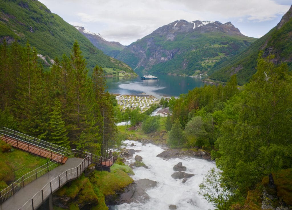
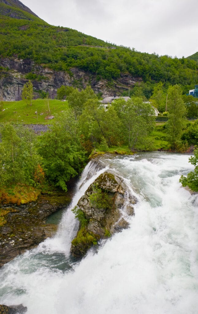
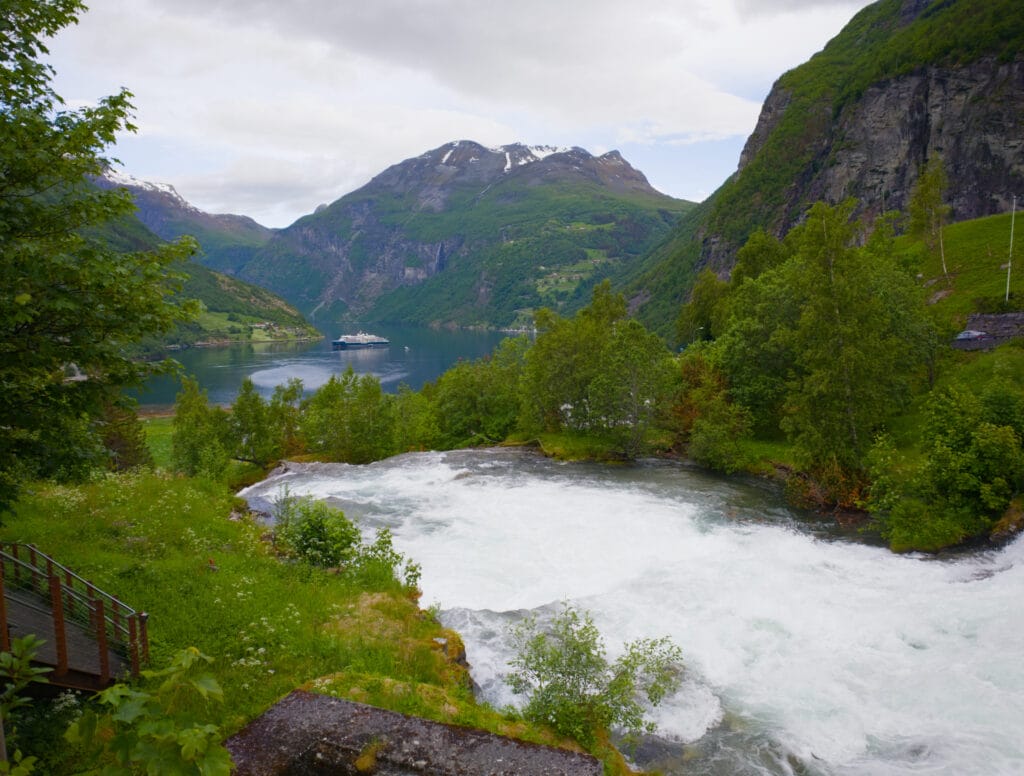
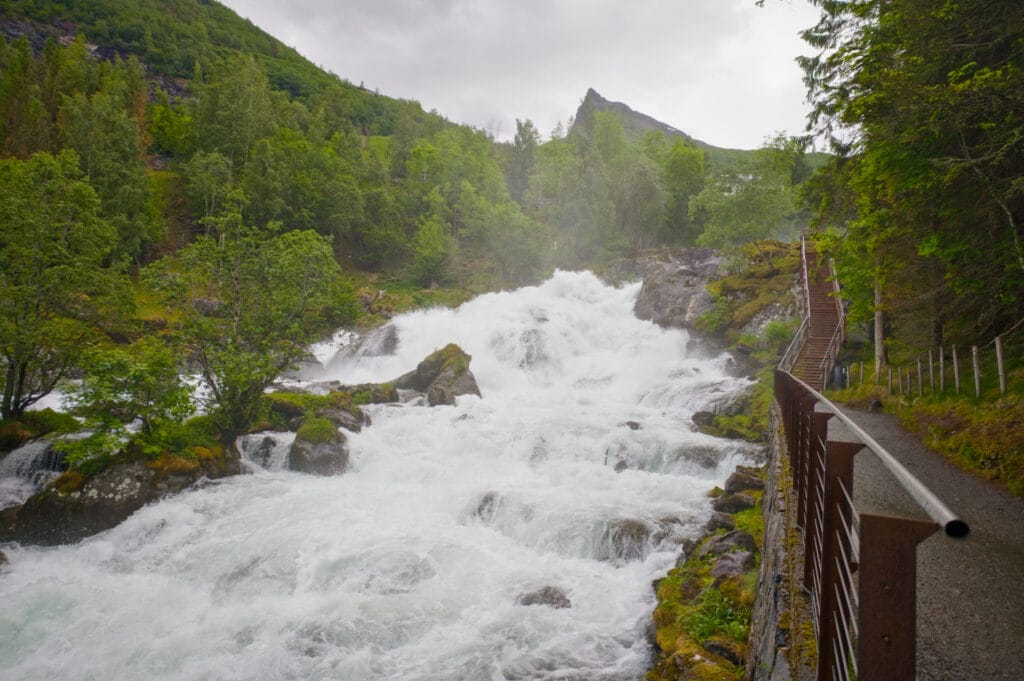
If you’re starting your hike in the center of Geiranger, we strongly recommend taking the series of stairs that lead up along Storfossen, the Geiranger waterfall. The waterfall flows down from the heights, running alongside the village, and you can get very close to it thanks to the Fossevandring, a staircase of 327 steps that leads up to the Norsk Fjordsenter (the Geiranger Visitor Center and museum dedicated to the World Heritage Site of the Norwegian Western Fjords). We can’t tell you much more about the Fjordsenter because the relatively mild weather during our visit tempted us more to go hiking than to visit the museum—we hope you won’t hold it against us. 😉
Hike to Vesterås: Restaurant and Lodging
From the Norsk Fjordsenter, you basically have two options for getting to Losta:
- The more direct path we took on the way down (see the map below). This is the most direct route. The path is clearly marked and has been paved with large stone slabs to make the climb easier.
- Continue on to the Vinje campground and take the trail that cuts across the road’s switchbacks and then leads to the restaurant along Geirangervegen. This route is a tad longer, but it offers some lovely views of Geiranger with the fjord in the background along the way.
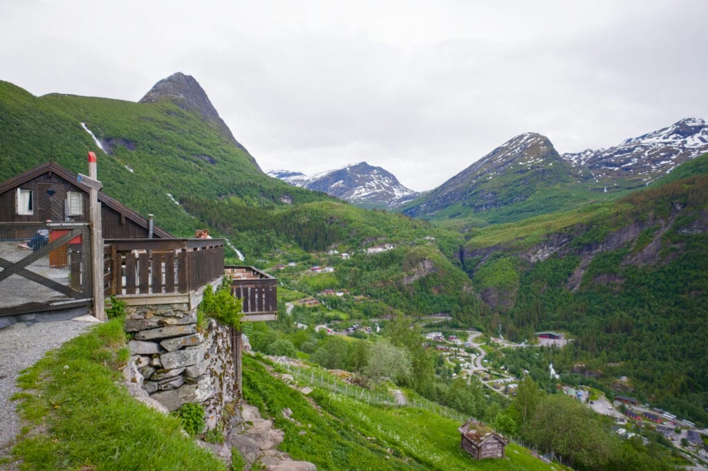
We came upon the little restaurant, and our first thought was that if we’d known about it, we would have eaten there instead of planning a picnic. We have no idea what the food is like, but the place had so much charm that it made us really want to stop there.
We later found out that the place also offers vacation rentals. Again, we didn’t try them out, but the location seems idyllic and the rates are still quite reasonable (for Norway). A vacation rental with two bedrooms, a living room, and a kitchen costs less than €200 per night (for up to six people). Check it out on Booking
Balcony trail toward Losta
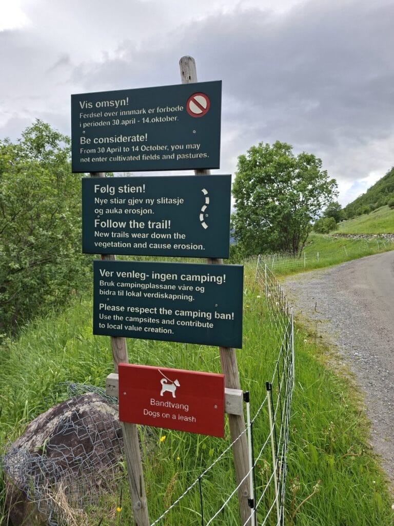
Right after the restaurant, you’ll come to a large pasture with lots of goats and llamas. From the photos we’ve seen, it looks like they’re permanent residents around here, so you’ll most likely have the chance to see them.
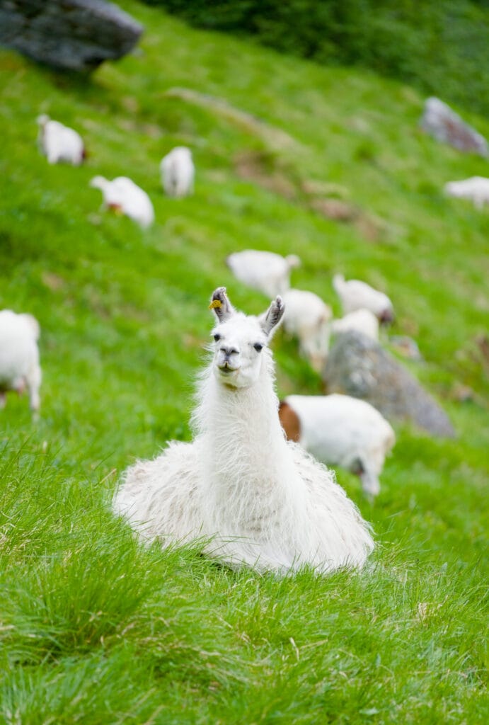
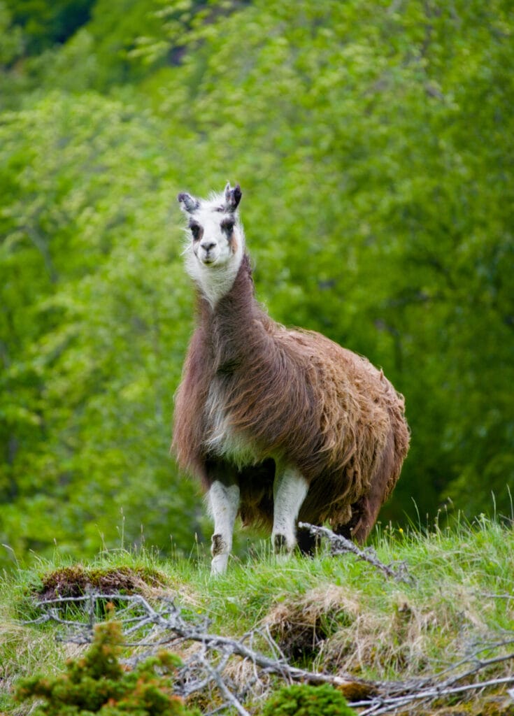
Once you leave the animal enclosure, you come to a narrower trail that’s in absolutely perfect condition. I’ll be honest—when I looked at the map, I thought we’d probably have a view of the fjord from the trail, but that’s not the case at all! The trail, while nice, doesn’t really offer any panoramic views. You really have to wait until you reach the lookout point for that “wow” factor. But I promise, it’s worth it!
This paragraph is intended solely for dog owners… We’re used to hiking in the Alps with our dog, and we’re also used to coming across cows, goats, donkeys, sheep, and so on… But llamas were a first for us. Winchy (our dog) is a pacifist at heart and has absolutely no predatory instincts. In short, no matter the species, he’s definitely the type to stay right by our side, and honestly, we haven’t had many problems.
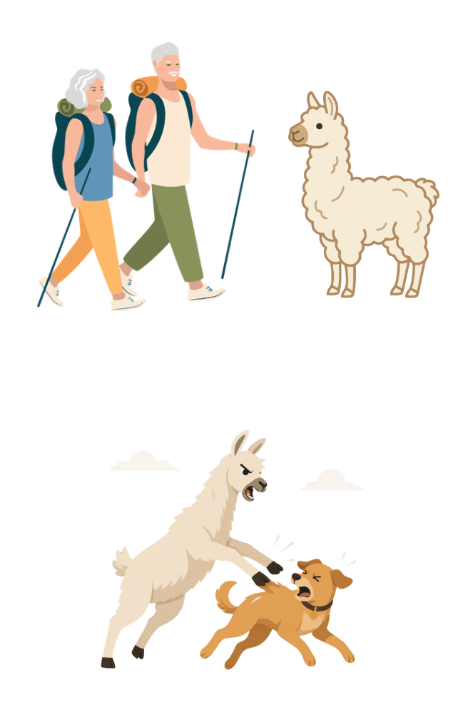
So… just know that llamas are apparently VERY territorial animals and can be protective. Of the six llamas we saw, five didn’t even flinch as we walked by (like, they didn’t even get up), but one (the herd leader?) had clearly decided to pick a fight with Winchy. In the end, it was more scare than harm, but let’s just say that “getting charged by a llama” wasn’t exactly part of our plans for the day. 😉
P.S.: We were well aware that our dog might be perceived as a “threat,” so we kept him on a very short leash and knew he would stay calm when we passed the llamas. We took every possible detour to stay as far away as possible from the llamas and the goats (which the llamas seemed to be protecting).
I think the “herd leader” was just doing his job and came over to check them out. Benoit walked with Winchy (on a very short leash) with a determined but calm stride, while I stood between the llama and them. At first I tried talking to him, but then I ended up raising my voice and lifting my arms to “assert myself a bit” and create a distraction while Benoit walked away with the dog.(Winchy remained extremely calm the whole time and was clearly not in the mood to seek contact.)
If you have a reactive dog, we advise against crossing the pasture when the llamas are there!
Without a dog, you have absolutely nothing to worry about! The llamas were extremely peaceful and calm. It was really our dog’s presence that irritated one of them… Then again, it’s probably because of this trait that farmers sometimes use “herd protection llamas.” Based on our experience, they do their job well. 😉
Losta’s Perspective
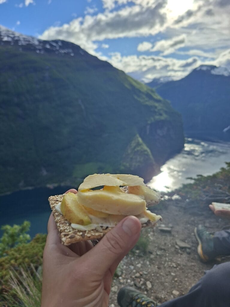
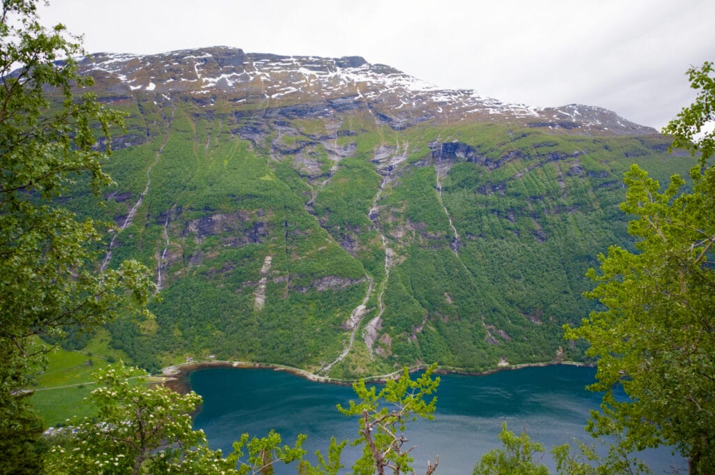
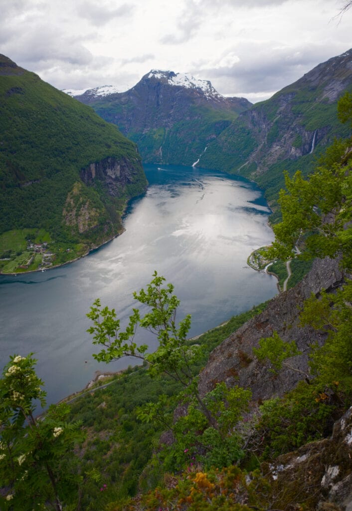
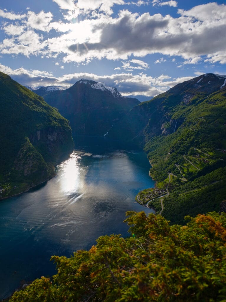
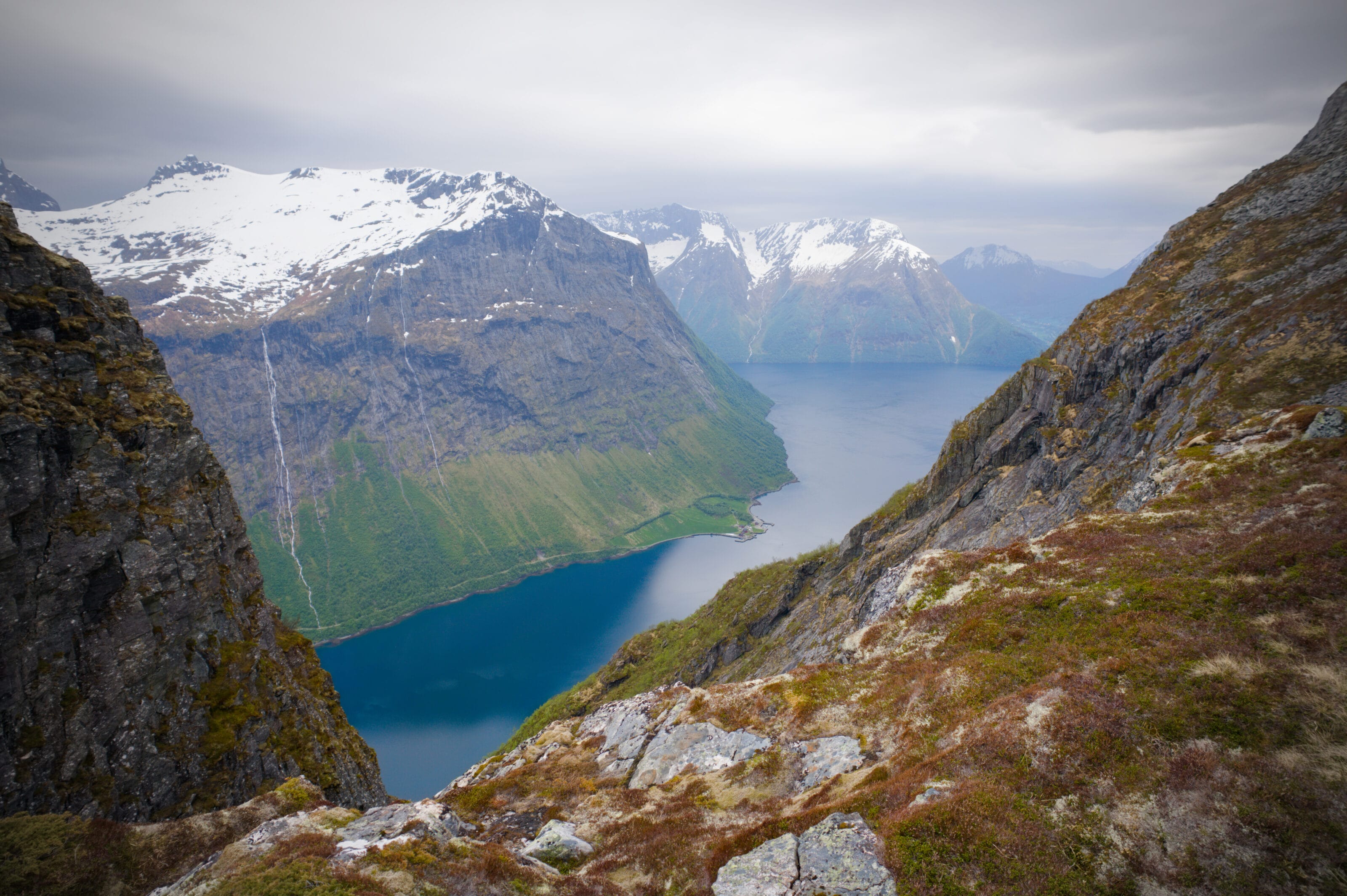
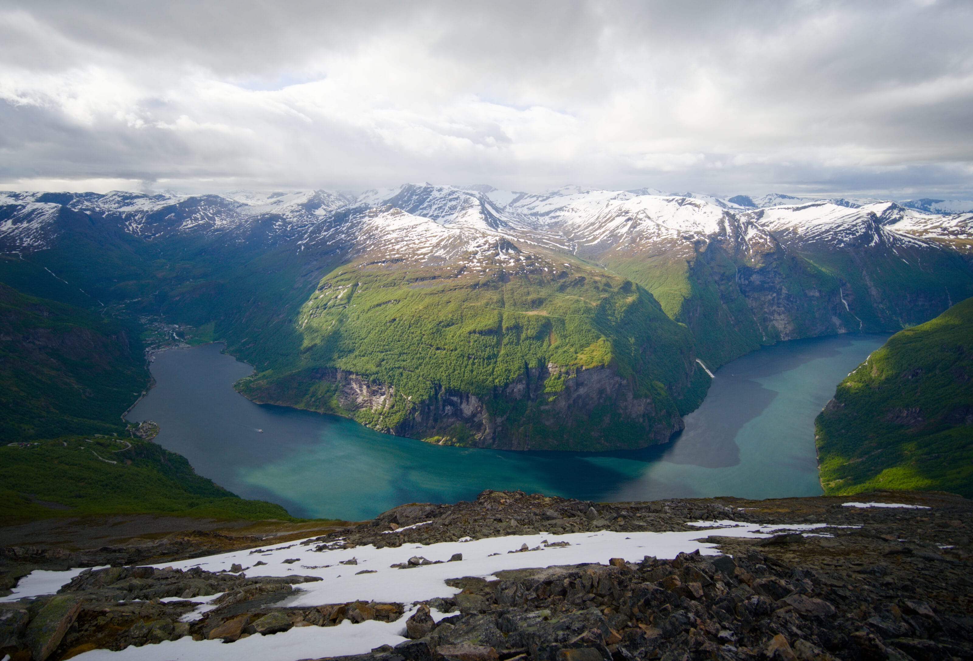
This hike officially leads to a viewpoint called Lostad on the map below. But you’ll surely notice that our route doesn’t even go all the way to the end. In fact, the best view of the Geirangerfjord is a few meters before the “official viewpoint.” A small rocky ledge lets you sit comfortably with your feet dangling over the edge (or against the rock face for those who aren’t comfortable with heights) and enjoy the best view. The two viewpoints are only 5 minutes apart, so we’ll let you decide for yourself, but for us, it’s a no-brainer.
Back to Geiranger
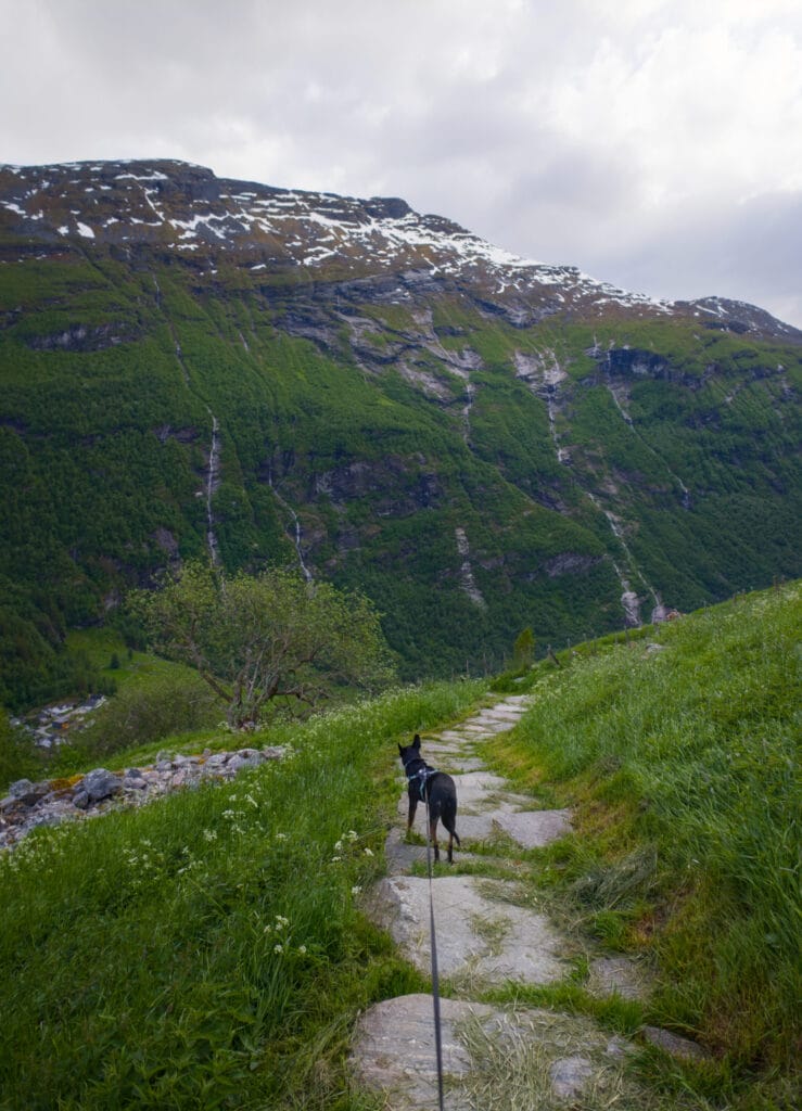
On the way back, we retraced our steps to the restaurant. Fortunately, the llamas had been brought in for the night (or at least we didn’t run into any), which spared us the slight bit of stress we’d felt on the way there. Only the goats were left, but with the dog around, that wasn’t a problem at all. 🙂 At the restaurant, we then took the path that descends more “directly” toward Geiranger. Perfectly paved with large stone slabs, it’s clearly the fastest way back to the village. And well, since it lets you take a loop instead of retracing your steps exactly, we think it’s a better option anyway. 🙂 From the lookout point, it took us about 30 minutes to get back to the campground.
Practical Information for the Losta
Hike
The Losta hike is truly an easy trail that’s perfect for families. For us, it was an end-of-day walk, and we really enjoyed being up there for sunset (even though we would have loved to have had more sunshine). 😉 In total, the loop takes about 2 to 2.5 hours to walk, according to the official walking times. But if you’re used to hiking, a 1-hour ascent and a 30-minute descent back to the campground is also entirely feasible (that’s how long it took us walking at a brisk pace, but without running). In total, the entire loop is 6.5 km with a 450-meter elevation gain.
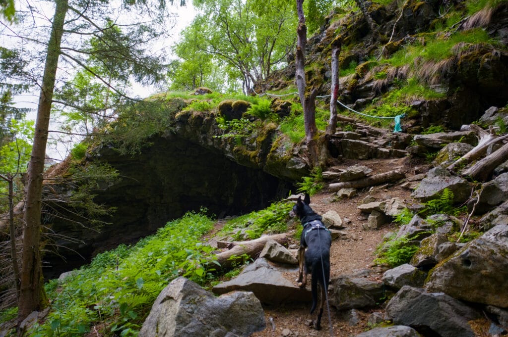
In terms of difficulty, it’s really moderate. There aren’t any “tricky” sections, and the trail is well-marked and well-maintained (ropes have even been installed to help hikers in the more exposed areas).

Accommodations in Geiranger: Practical Information
Finding a place to stay in Geiranger won’t be a problem! It’s a tourist destination, so there’s no shortage of options. As for hotels, there are a few in “the village,” but there are also—and above all—plenty of apartments and vacation rentals available in the surrounding area. As mentioned earlier, the Vesterås Gard is an excellent example of what you can find along these lines.
That said, if—like us—you’re traveling in a campervan or RV, or if you’re camping in a tent, there are also plenty of camping options (we counted five within a 10-minute drive). As for us, we chose Vinje Camping. Honestly, the campground was cute (much more charming than the one in “downtown” Geiranger, where everyone is parked in a tight row), with top-notch restrooms and facilities, and a “reasonable” price (given that we’re in Geiranger)—but on the other hand, the vast majority of the sites aren’t level at all. We pulled out our wheel chocks for the first time on our trip (we’re usually not that fussy 😉 ), but even with the chocks, we were still “on a slope.” Note that this campground also offers cabins and small cottages that looked very nice (and are cheaper than other accommodations in the area).
Well, that’s all for today. I hope you enjoyed this short post, and we’ll see you very soon for our final hiking route starting from Geiranger: the viewpoint overlooking the Seven Sisters Waterfall. As always, feel free to ask us any questions in the comments. 🙂

Join the discussion