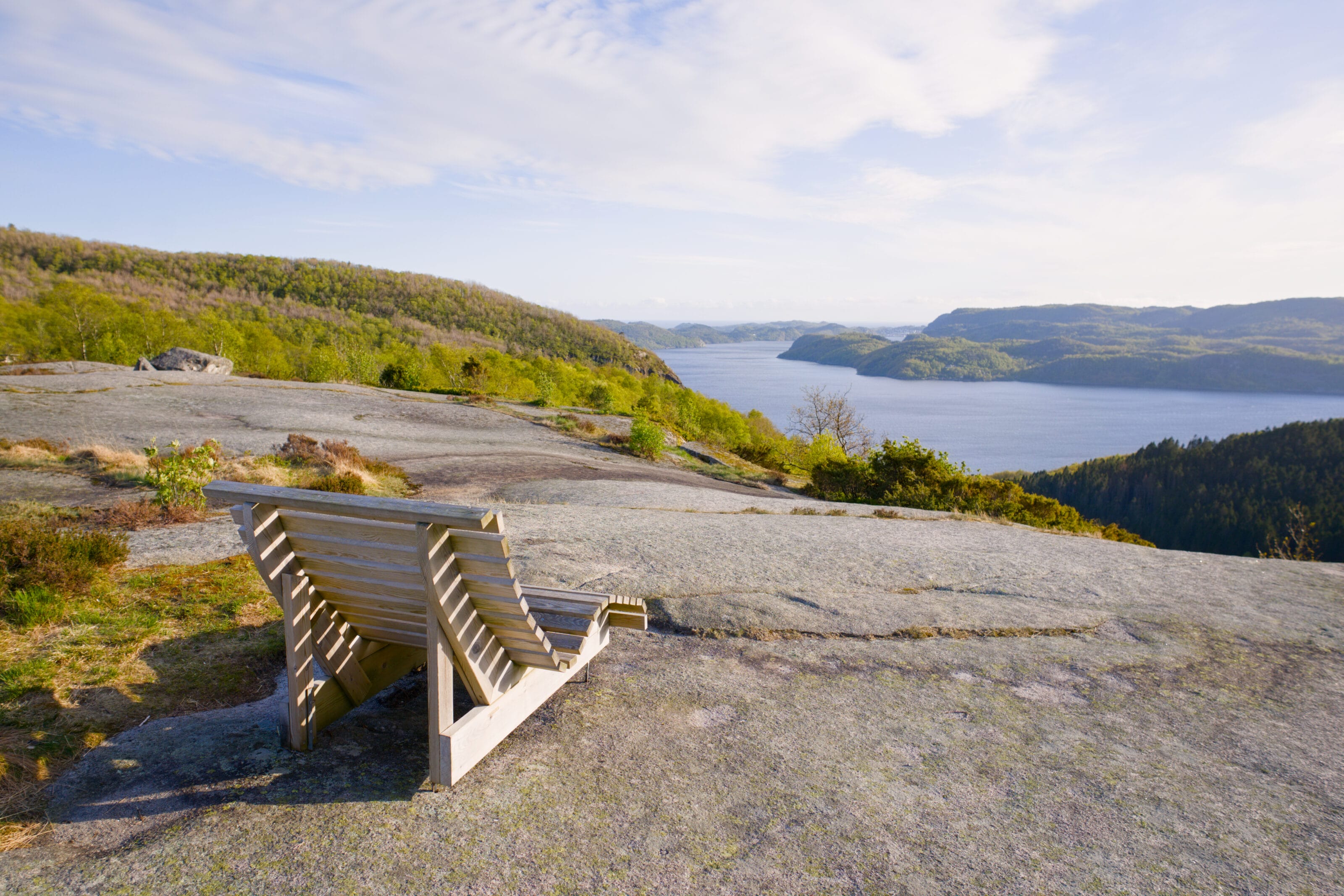
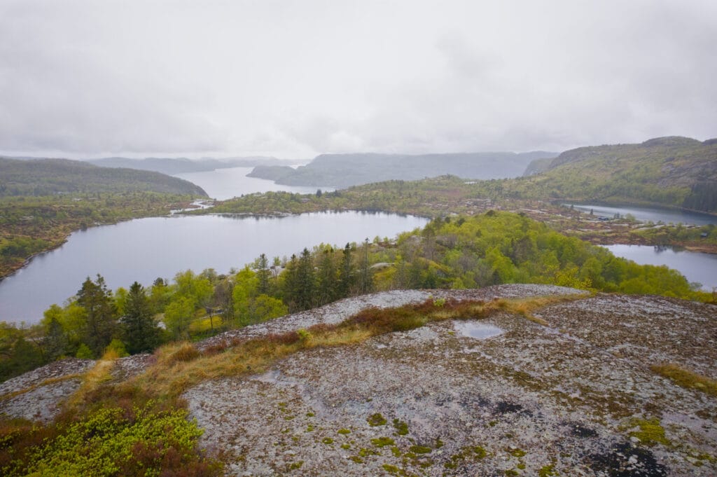
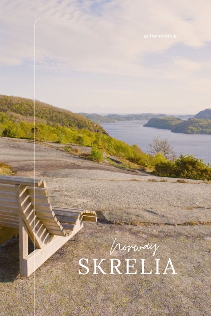
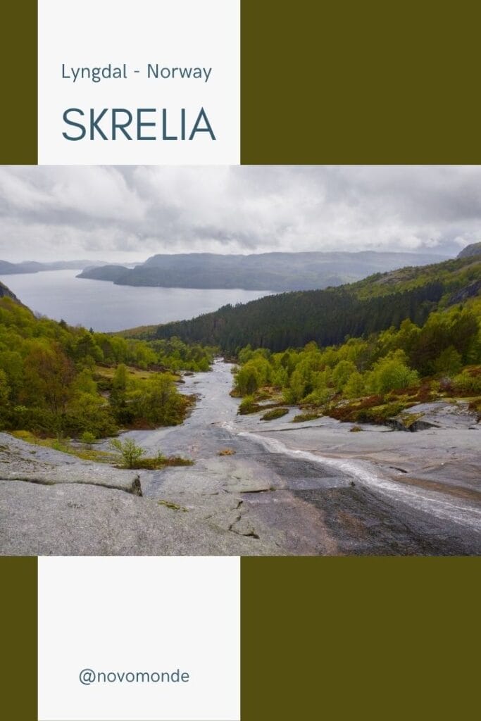
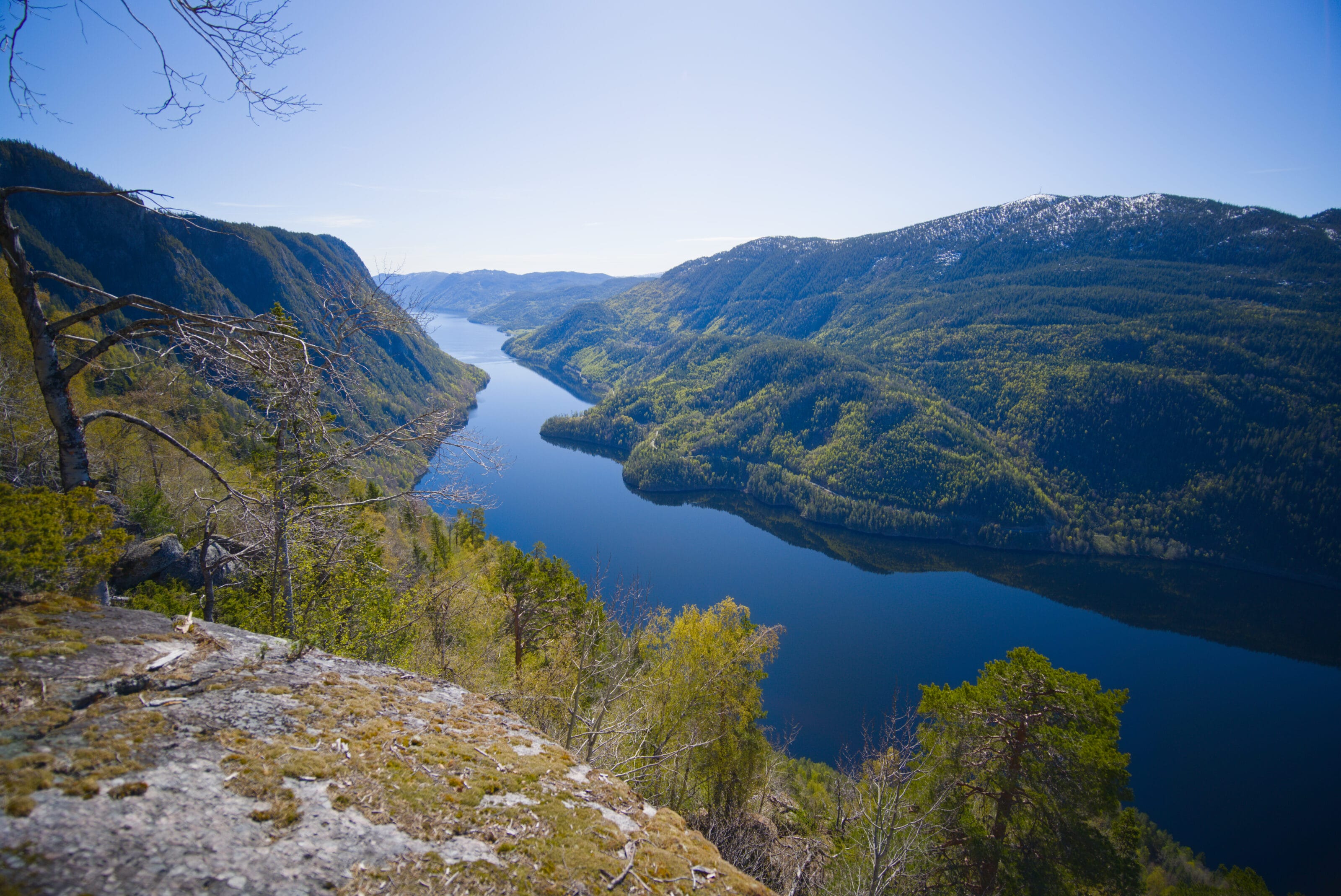
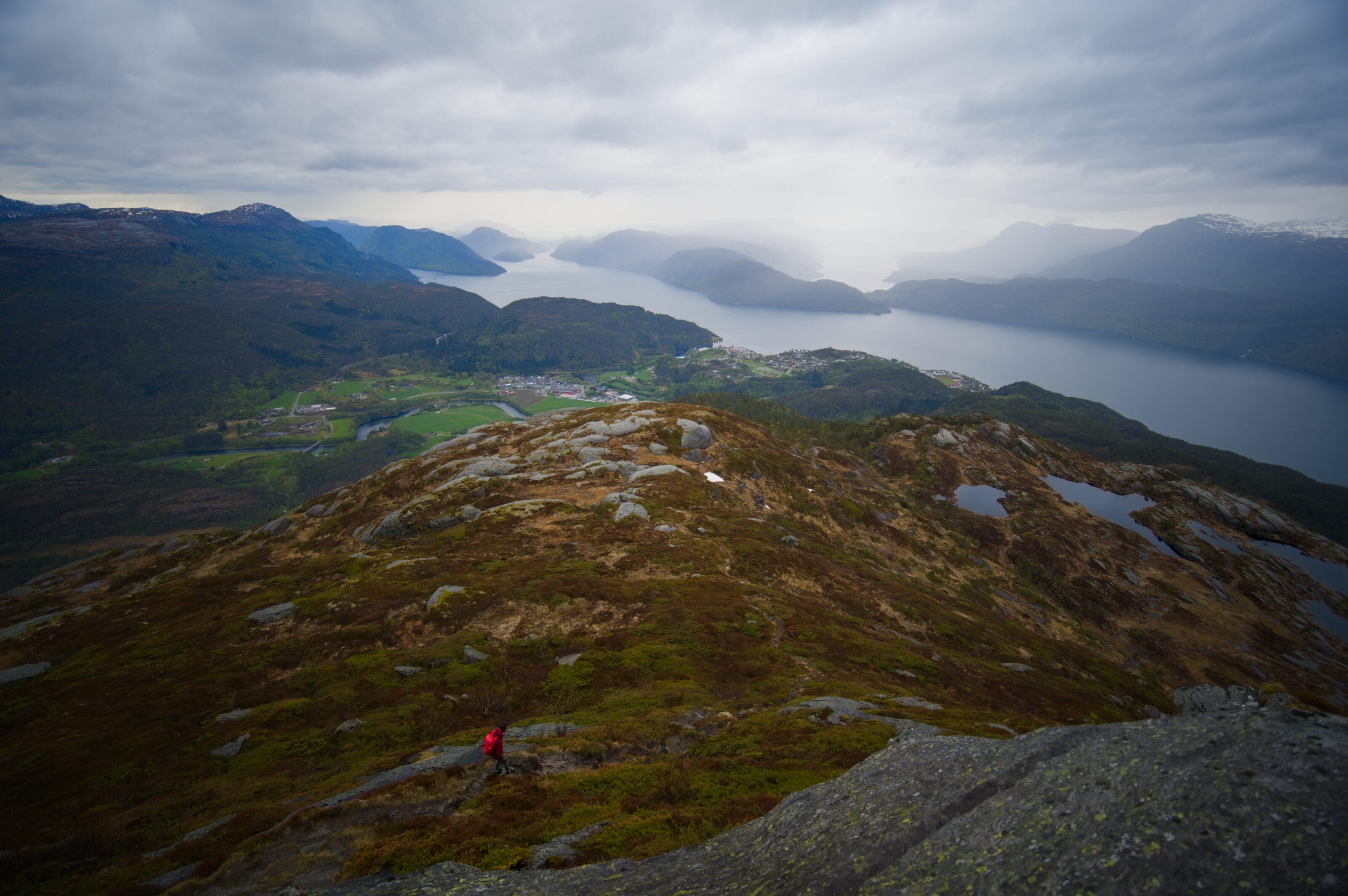
Unlike many Norwegian hikes that focus on a specific peak, Skrelia actually refers to an entire hiking area located west of Lyngdal. This vast area of smooth rocks, small lakes, and waterfalls offers several marked trails with sweeping views of the Lyngdalsfjord and Norway’s southern coast.

Once we arrived in southern Norway, we were looking for a short hike to see a waterfall and give the dog a chance to stretch his legs between Kristiansand and Egersund. In the end, it was the beautiful photos on the Horizon Rando website (a really great blog with tons of ideas for Norway, by the way!) that made us want to come and explore the area. Although the weather wasn’t the best, we don’t regret the little detour at all, and we left completely charmed by the place.
Lyngdal and its landscapes, nestled between the sea, lakes, and mountains
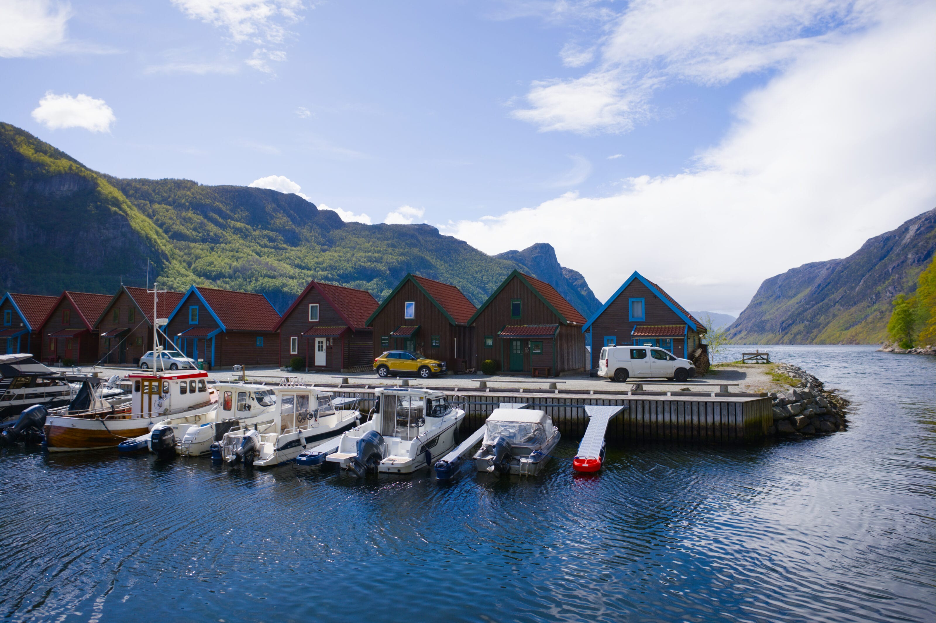
Lyngdal is a small municipality in southern Norway, in the Agder region, with just over 10,000 residents spread between the town center and several scattered villages. Geographically, the region lies between the sea and the inland areas. Along the coast, there are relatively open fjords, small beaches, and harbor areas. Moving inland, the landscape gradually changes to become more hilly, with forests, lakes, and the rolling hills typical of southern Norway. Here, we are far from the country’s spectacular fjords and world-famous peaks, but the region is much more accessible and diverse than we had imagined before arriving.
Skrelia – waterfalls, lakes, and small peaks
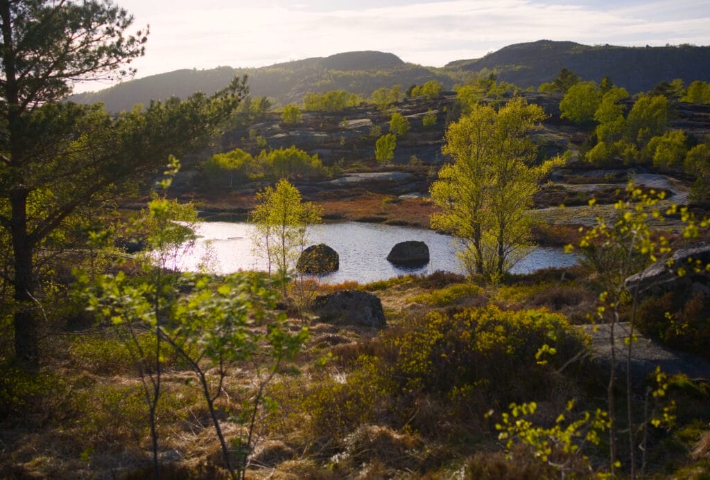
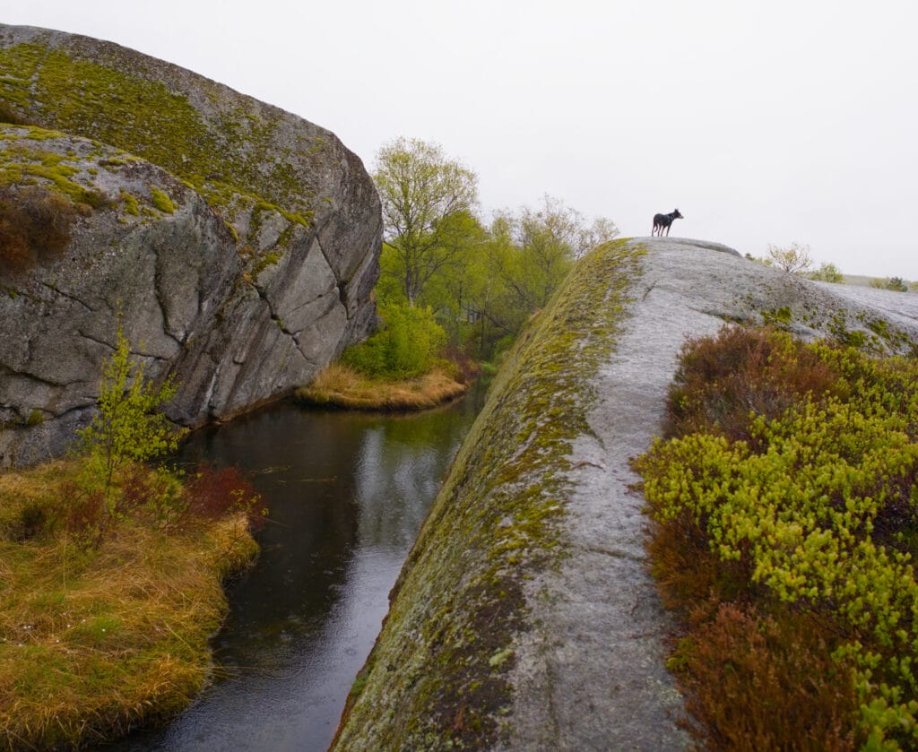
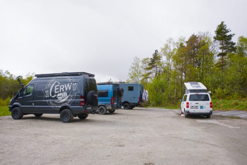
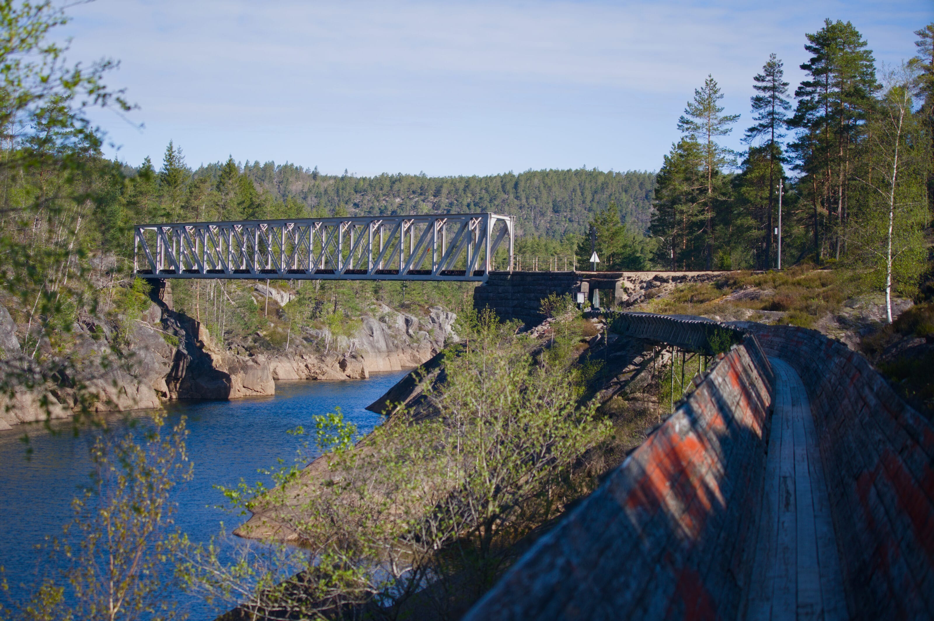
Skrelia is one of those little corners of paradise that takes a bit of effort to reach. The drive there is relatively long (more info below), but when you pull into the small parking lot at the end of the road, you really feel like you’ve arrived in the middle of nowhere. And it’s funny, because from the parking lot, there’s almost nothing to hint at the scenery that lies just a few meters further on, beyond the gate.
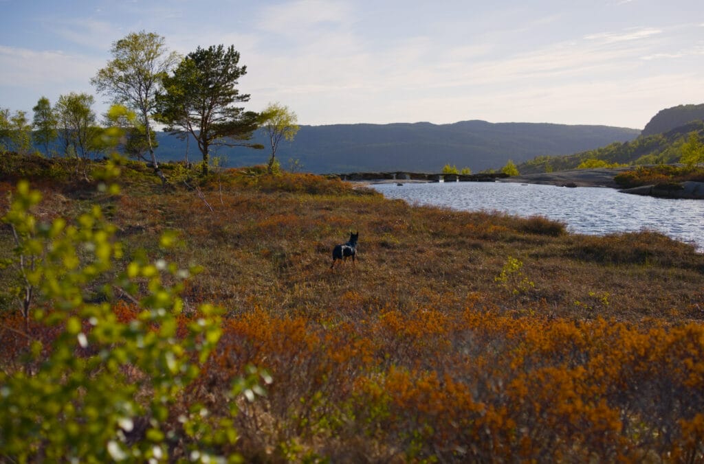
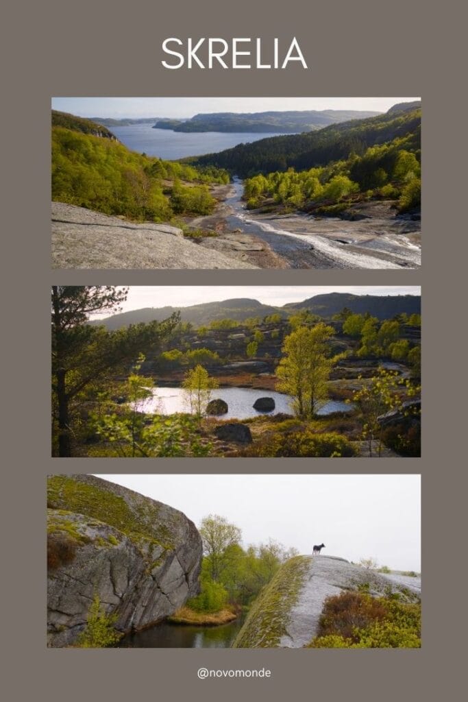
The Skrelia hiking area is centered around four small lakes nestled in a rocky landscape that was shaped by glaciers a very, very long time ago! Want to come along?
Hiking Trails in Skrelia
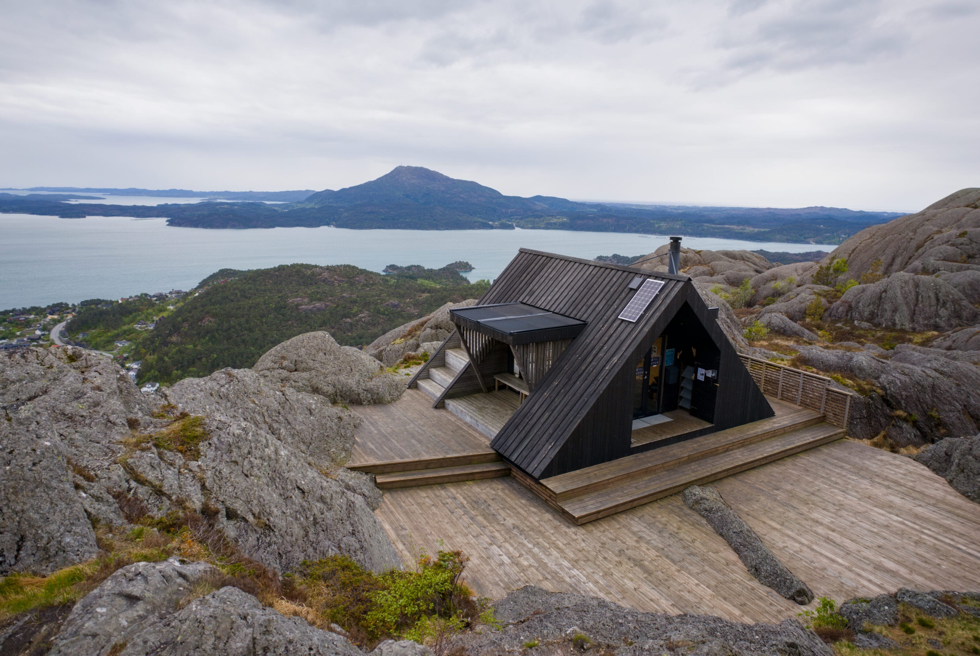
As you’ll see, the area isn’t exactly “huge,” but there are several possible routes depending on your preferences, the weather, or how far you feel like walking. These range from a 30-minute stroll to a slightly longer hike of about 2 to 2.5 hours. And the best part? There’s very little elevation gain! As I mentioned at the beginning of the article, this is a far cry from the fjords with their steep cliffs. The hills are very small and the slopes are very gentle. But since there are no high peaks around, the view is still incredibly beautiful and unobstructed.
Routes: Map and Information
Here is a map of the three different routes described below:
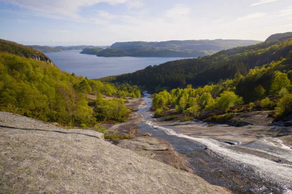
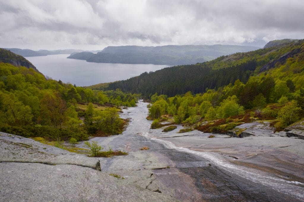
The hike to Skrelifallan Waterfall—1.1 km, flat terrain, about 30 minutes—marked in blue on the map
You’re bound to pass by Skrelifallan Waterfall, no matter which route you choose! It only takes about ten minutes to get here from the parking lot. We arrived in Skrelia at the end of the day and had planned to go on the hike the next day. But since we wanted to stretch our legs upon arrival, we did this short loop. And as you’ll see later, this turned out to be a great idea, because the next day the weather was a bit more unpredictable, and we’re glad we got a glimpse of what the region looks like in the sunshine. 😉
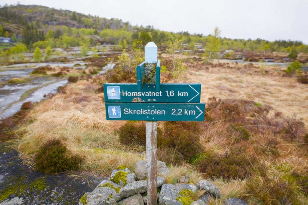
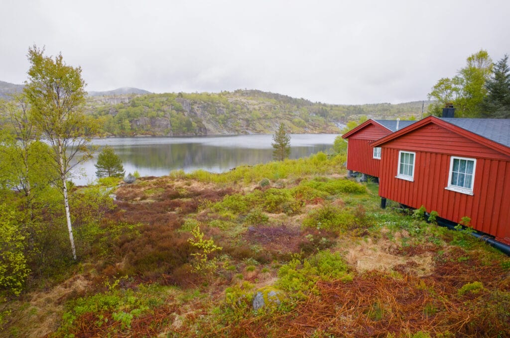
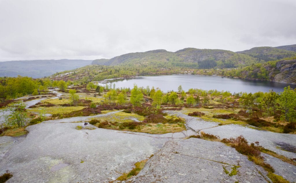
The Sandvatnet Lake Loop – 4.3 km, 110 m elevation gain, about 1.5 hours, marked in purple on the map
This is probably the most popular route. From the parking lot, start by heading toward the waterfall, then gradually make your way up toward Lake Sandvatnet before returning to the parking lot along the rocky slabs.
I’ll be honest, the route is really nice, but the extra section we’re about to tell you about doesn’t really add much in terms of distance or elevation gain (roughly 2 km and 100 m of elevation gain). So unless you’re really short on time, we strongly recommend taking the slightly longer route.
The Skrelia Loop – 6.1 km, 228 m elevation gain, about 2.5 hours, marked in green on the map
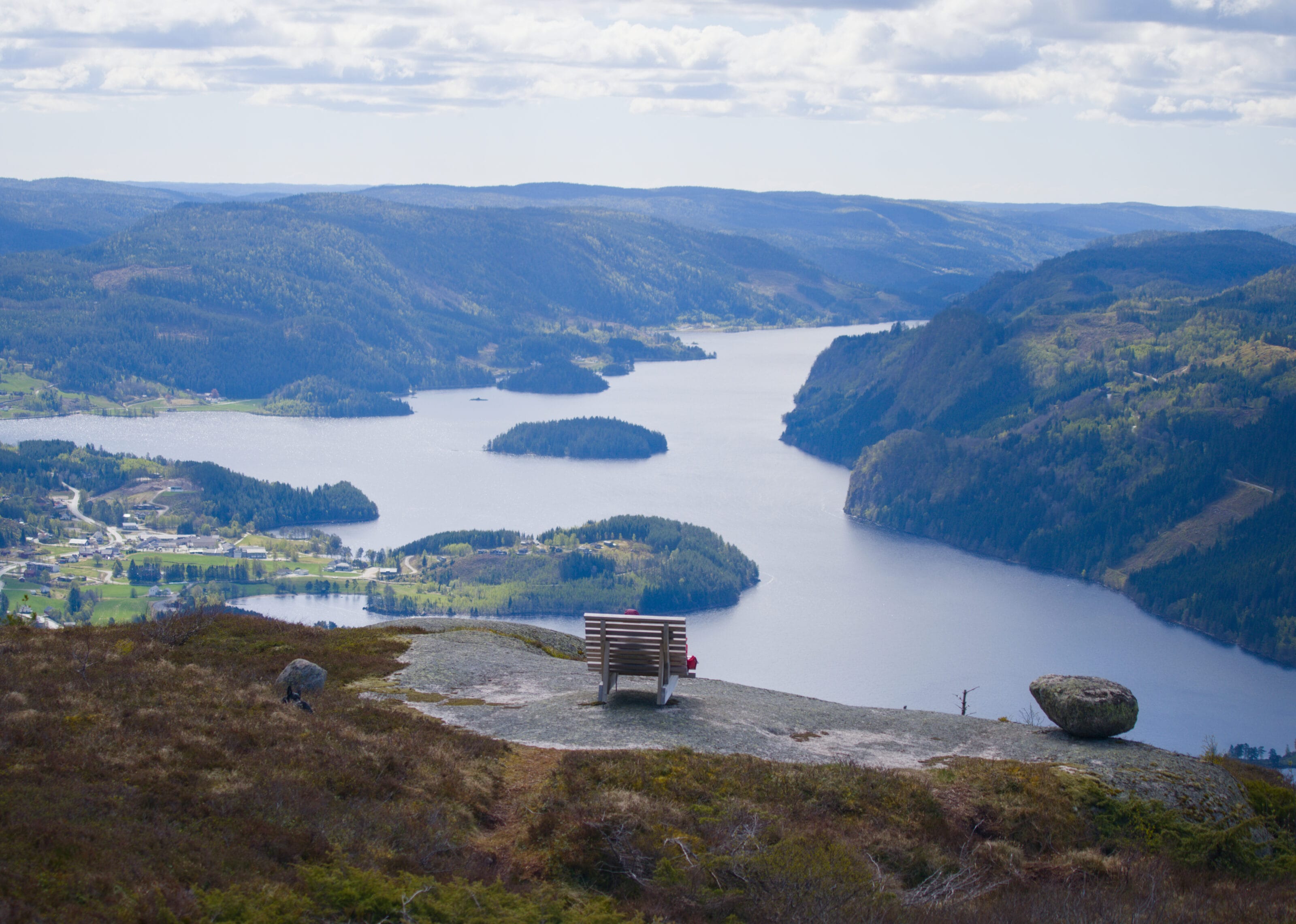
This last option is essentially the same as the previous one, except that this time we take a short detour around the top of the rocks behind the lake. Of course, we chose this option because we were secretly hoping for a break in the clouds so we could enjoy the view a little more.
We’ll have to come back for a break in the clouds, but we still really enjoyed the detour and the view from the summit. Note that for those who’d like to, it’s also possible to take a round-trip hike to a viewpoint where you can see all five lakes. Of course, we had planned this detour, but since the rain picked up just as we were at the point farthest from the parking lot, we decided to skip the viewpoint (but I’ve included it anyway on our map above).
As for the direction of the hike, we chose to go counterclockwise so we could end up at the waterfall. Since the hike is completely easy, the direction you take isn’t really that important.
Practical Information
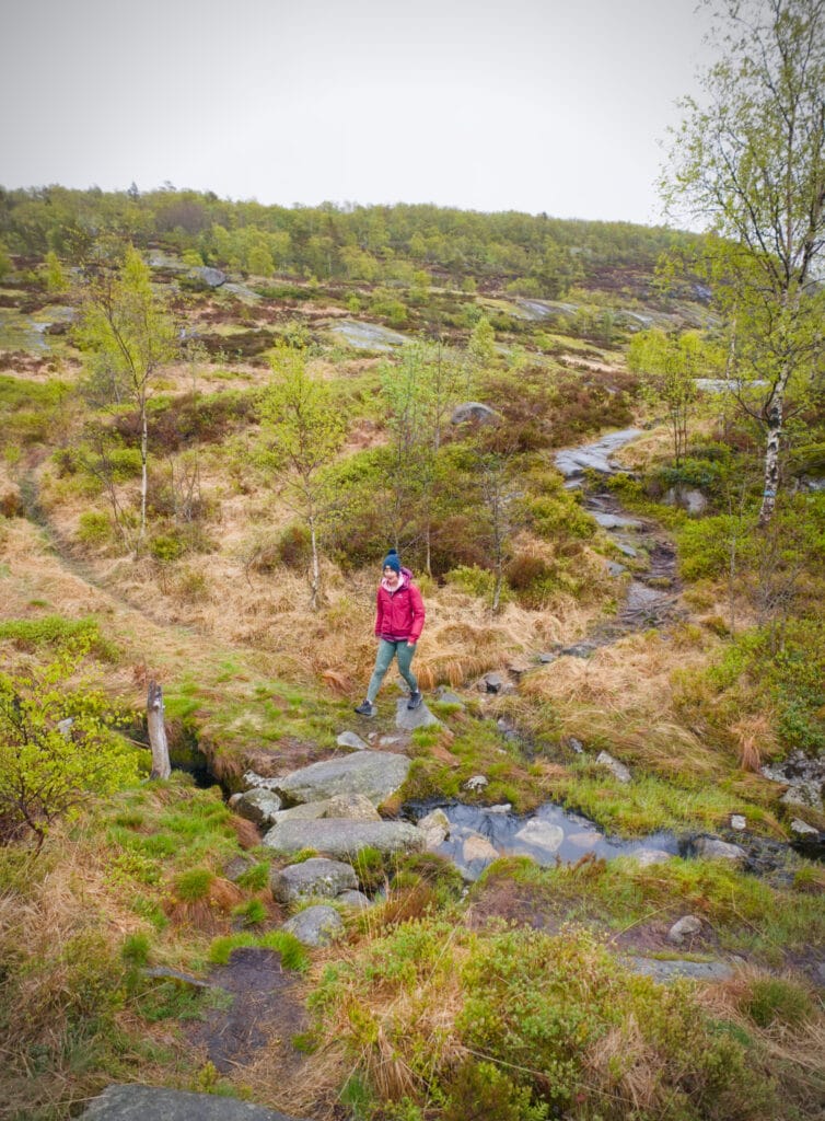
The hikes in Skrelia are all really easy and accessible to a wide range of people. They’re a far cry from the more demanding hikes we’ve done elsewhere in Norway. Here, the elevation gains are gentle, but the views are still magnificent. In short, it’s a destination that’s also perfect for families! And there’s no doubt that in the summer, swimming in the small lakes adds even more charm. At 8°C and in the rain, you’ll understand that we didn’t get to try that part out, though.
As for the hike itself, you won’t need anything special, although we would still recommend wearing waterproof shoes, since much of the trail passes through somewhat marshy areas. This is especially important on rainy days or after it has rained.
As for access, you’ll have no choice but to drive there. To get there, you first need to head to Arnes (west of Lyngdal) and then follow Route Fv558. After about 2 km, the small road turns into a dirt track. It’s in really good condition, but it is a dirt track, and let’s be honest, it’s not very wide. There are regular passing spots, but I think it’s better to have a van or a small camper van rather than a large motorhome to get here. In Norway, it’s not uncommon to come across road giants (motorhomes 8 meters or longer), and for those, I really think it’s impossible! The trail is about 7 km long and ends at a small parking lot. Here, overnight parking is currently tolerated for vans (for now). But there’s no doubt that during peak season, the spot can fill up quickly. When we came here in early May, there were about 7 vehicles in the parking lot for the night.
You’ll find details for each of the routes above (map + GPX file available for download via the AllTrails app). By the way, if you’re not familiar with AllTrails yet, you can check out our article. It’s the app we’ve been using for nearly 10 years, and in Norway it’s really widely used—you can find tons of hiking ideas there! It’s obviously used in other countries as well, but for example, in Spain we noticed that apps like Wikiloc seemed more popular with locals, whereas here it’s clearly AllTrails.
We’ll see you soon for the next installment of our series on our road trip through Norway.
Pin this post
Join the discussion