
If there is one thing I missed in Vienna, it was the mountains. So I knew that once I got back to Switzerland, I would like to strech my legs a little and get some fresh air. In Switzerland there is an infinite number of options to go hiking!
As I was back at my parent’s place in Wallis, a friend came to pick me up early in the morning with the objective of the Grammont and its magnificent view of Lake Geneva. A walk which is not too difficult but still has a pretty impressive elevation gain…. perfect for restarting the machine!
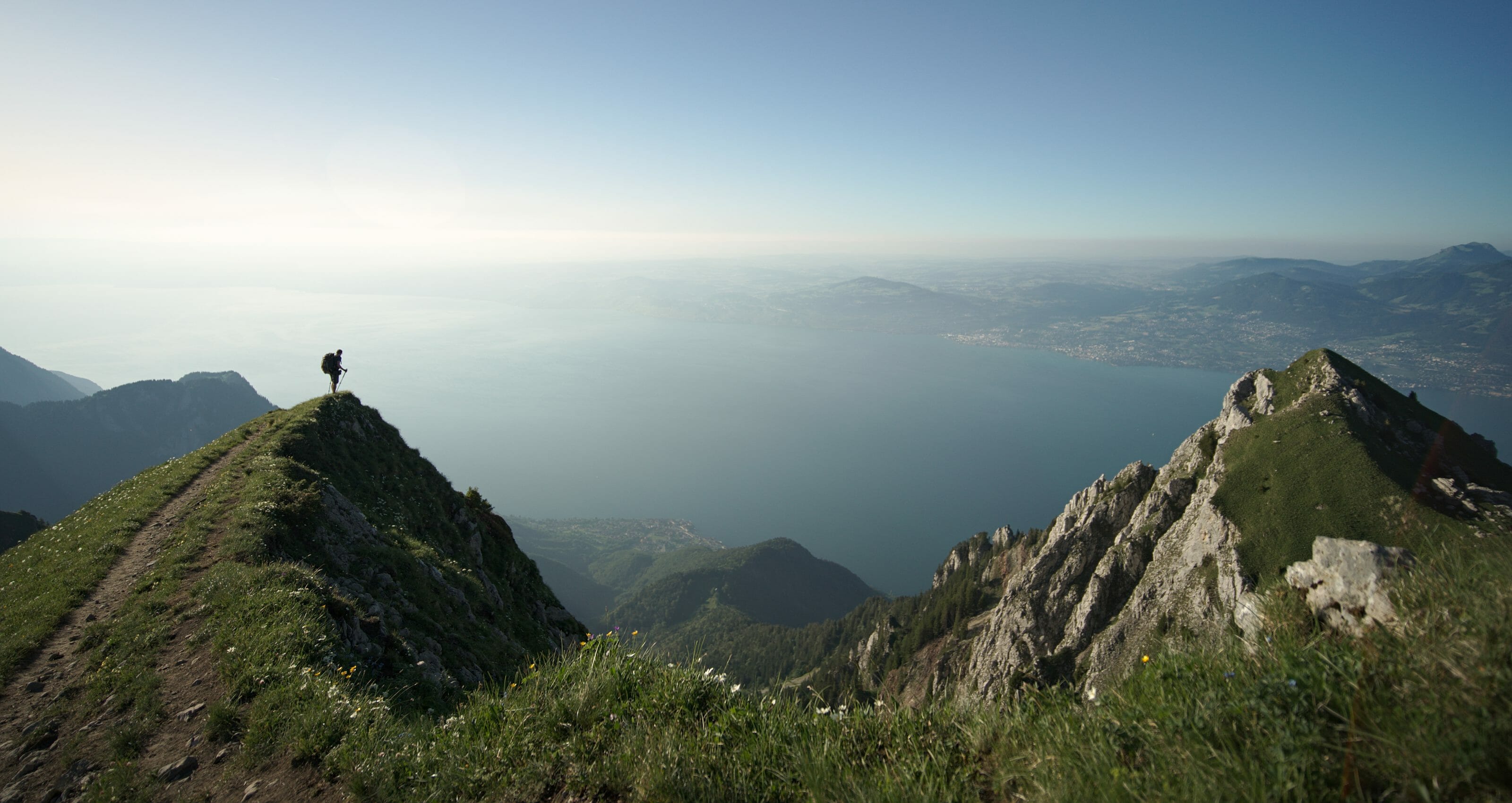
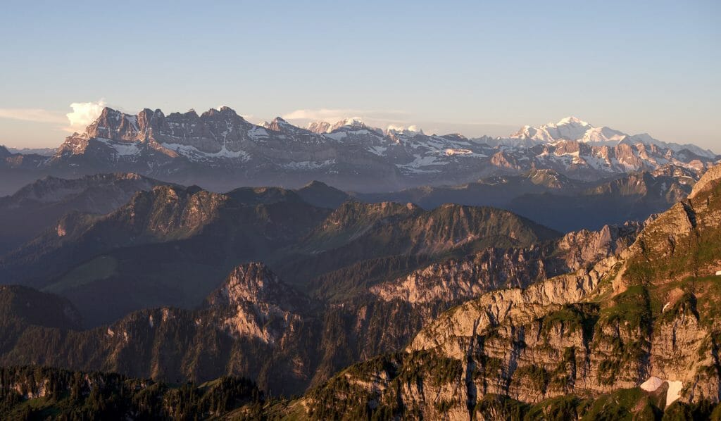
If you have already passed through Lake Geneva, you will surely have noticed that there are some mountains overlooking it. The highest of these (the Grammont) is located on the border with France above the village of St-Gingolphe and reaches a height of 2172 metres. From the top, you have an incredible view of the lake and the surrounding mountains…
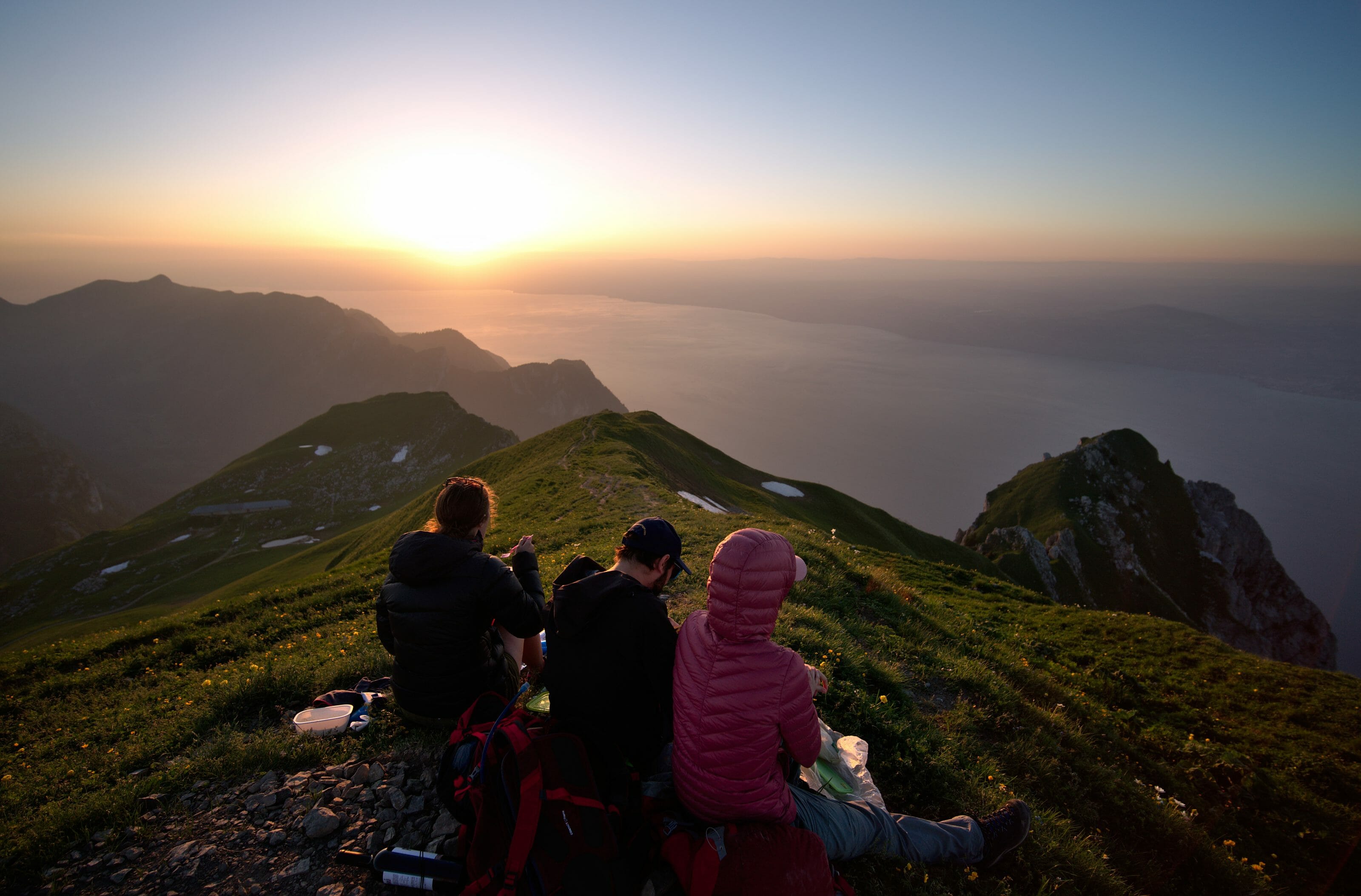
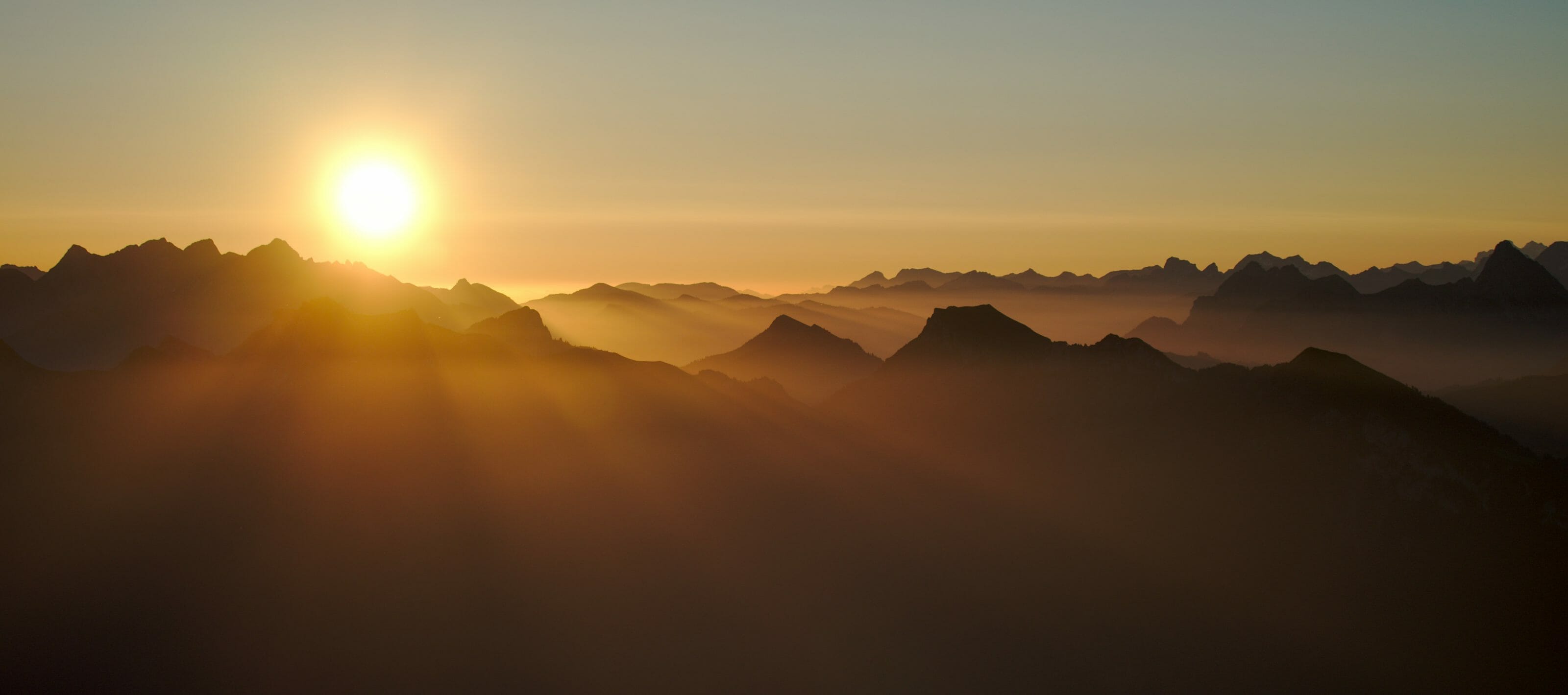
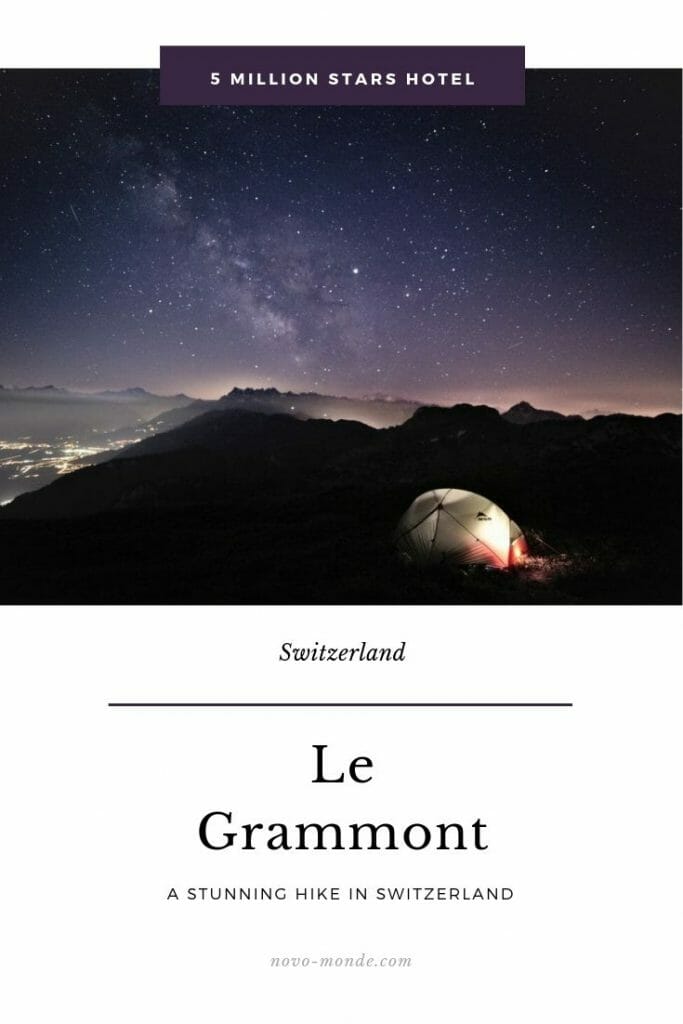
By the way, if you have binoculars, don’t forget them before you leave 😉 (I’ll give you a little overview of what we see at the end of the article). But just to make you want to climb up there, here is already a small picture taken at sunset 😉
Hike: Le Flon – Taney Lake – Grammont
From Le Flon to Taney Lake
To start this hike, take the car towards Vouvry and follow the road that goes up towards Miex until its terminus: the Flon car park.
Note: there is also a bus that makes the connection. You can find the schedules on cff.ch. Type in “Miex, le flon” as a destination to get to the car park by public transports.
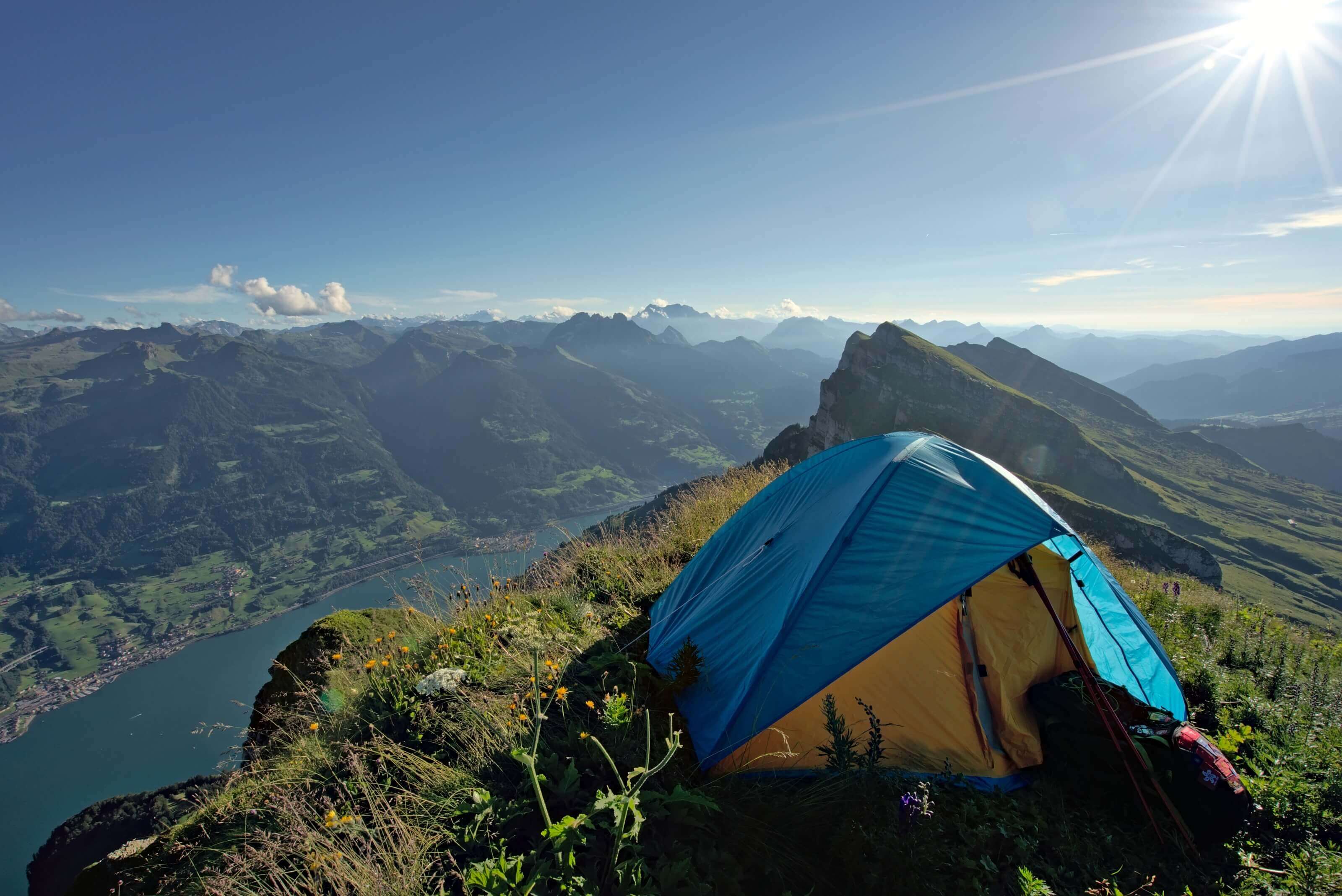
If you come on weekends, leave early in the morning (be at the car park before 10:00 am) because Lake Tanay is very popular on weekends thanks to its relative ease of access and the pretty hikes you can find there. It is, also unfortunately because of its “too great success” and the people who left too much waste, there that camping has been banned.
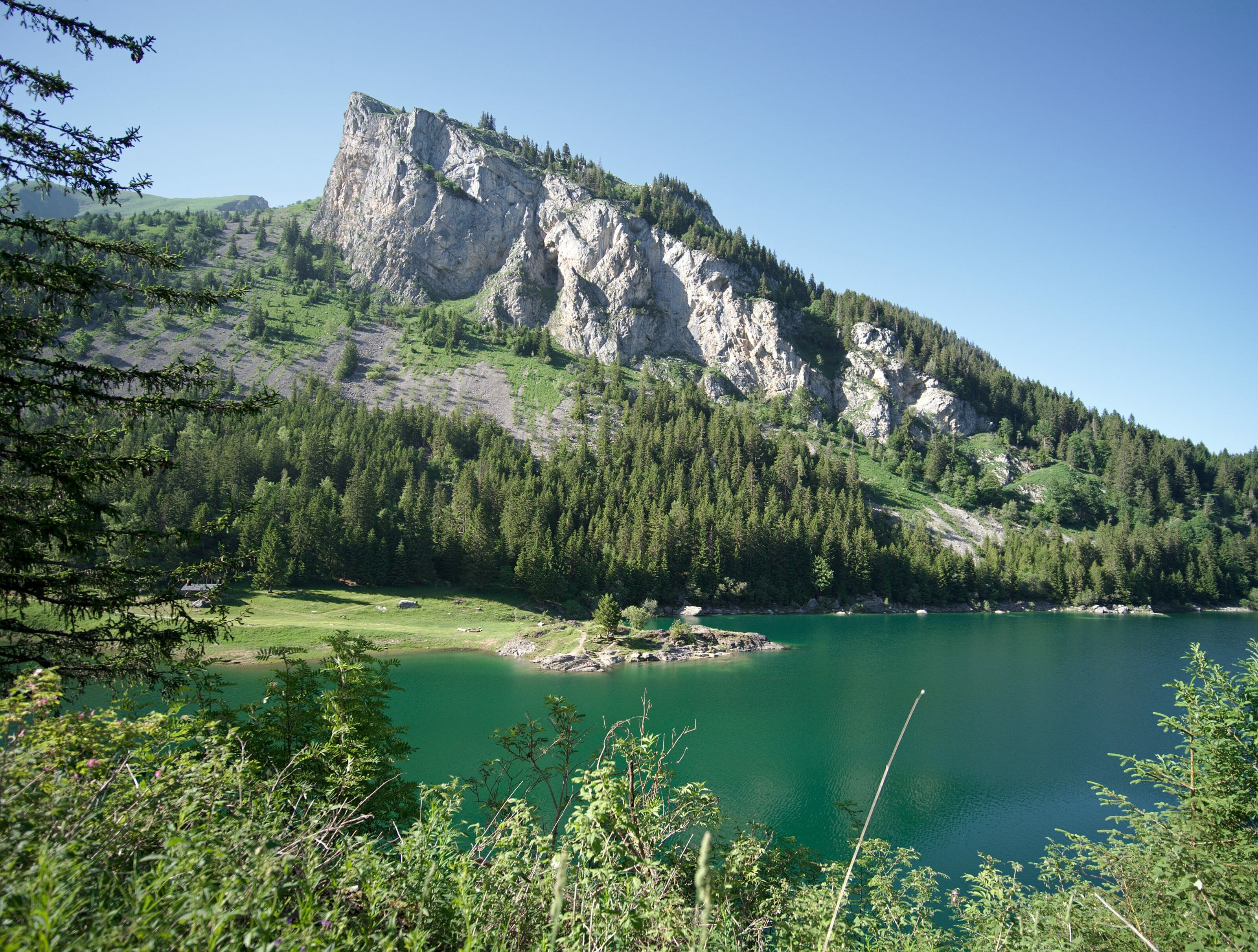
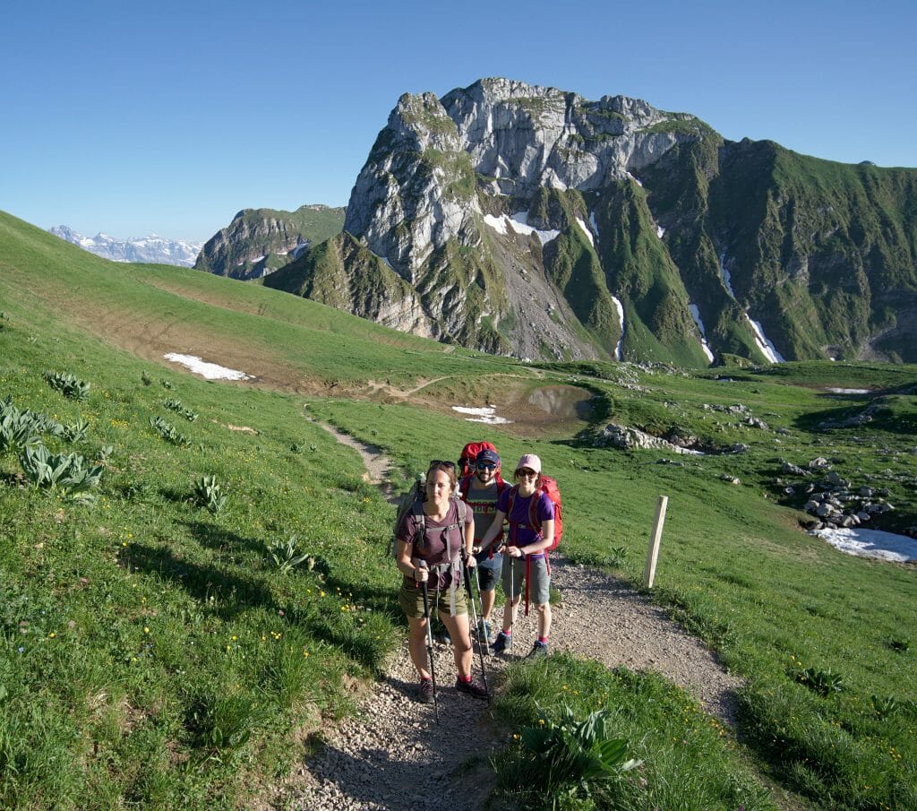
Once the car is parked, all you have to do is start the ascent… The trail going up to Tanay lake is barely 2km but it climbs quite a lot. You go from 1030 meters to 1440 meters (that’s still a 20% incline on average ) to reach the pretty lake of Tanay. The hike from the parking lot to the lake is done in a little less than an hour.
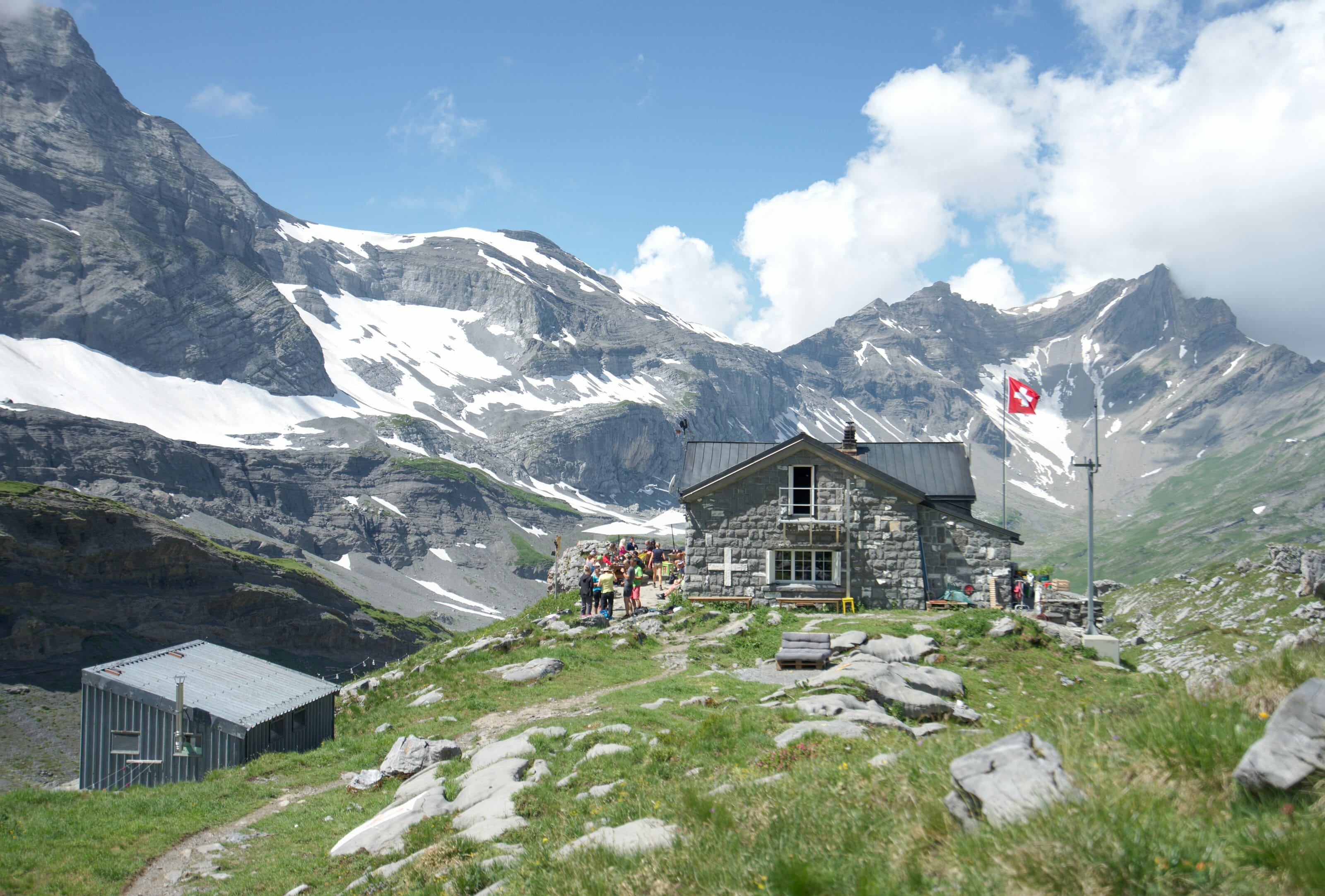
From Tanay lake to the Grammont
Once at Lake Taney, you can stop to enjoy this charming landscape… If you are fancying a swim, save it for after the descent, keeping in mind that the water is rather fresh. 😉 You will also cross one or two terraces if you want to enjoy the view while drinking a coffee.
Well it’s nice to be chilling a bit at the lake, but there’s still quite an ascent left until the top…. Follow the signs for the Grammont (yellow signs) and start climbing into the forest (enjoy the shade while there is still shade 🙂 ). As before, it climbs steeply but the path is wide and very easy…
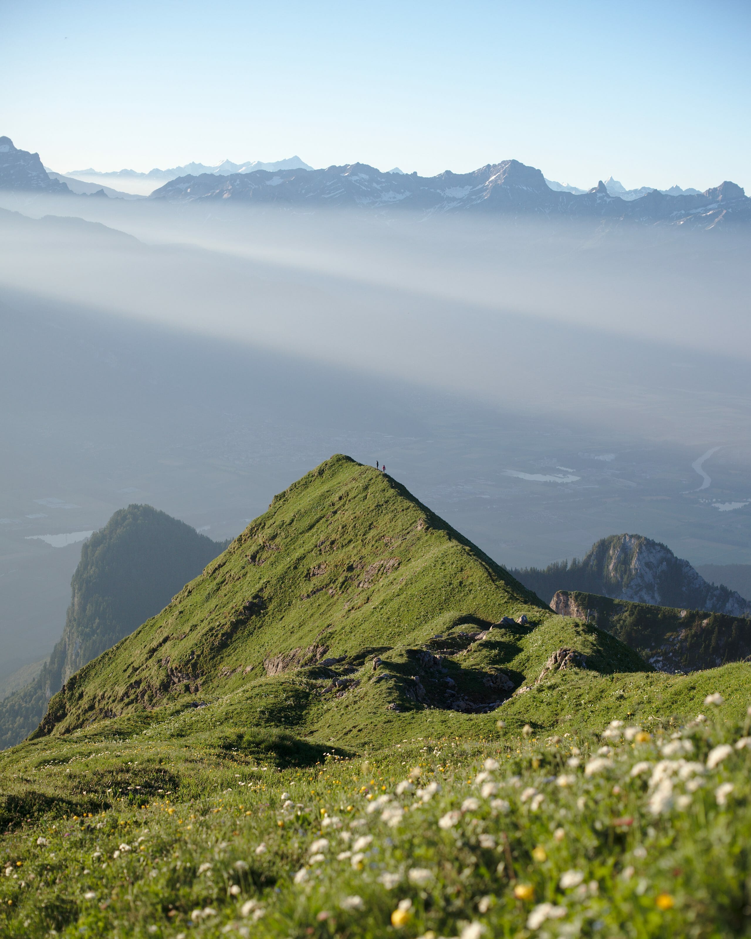
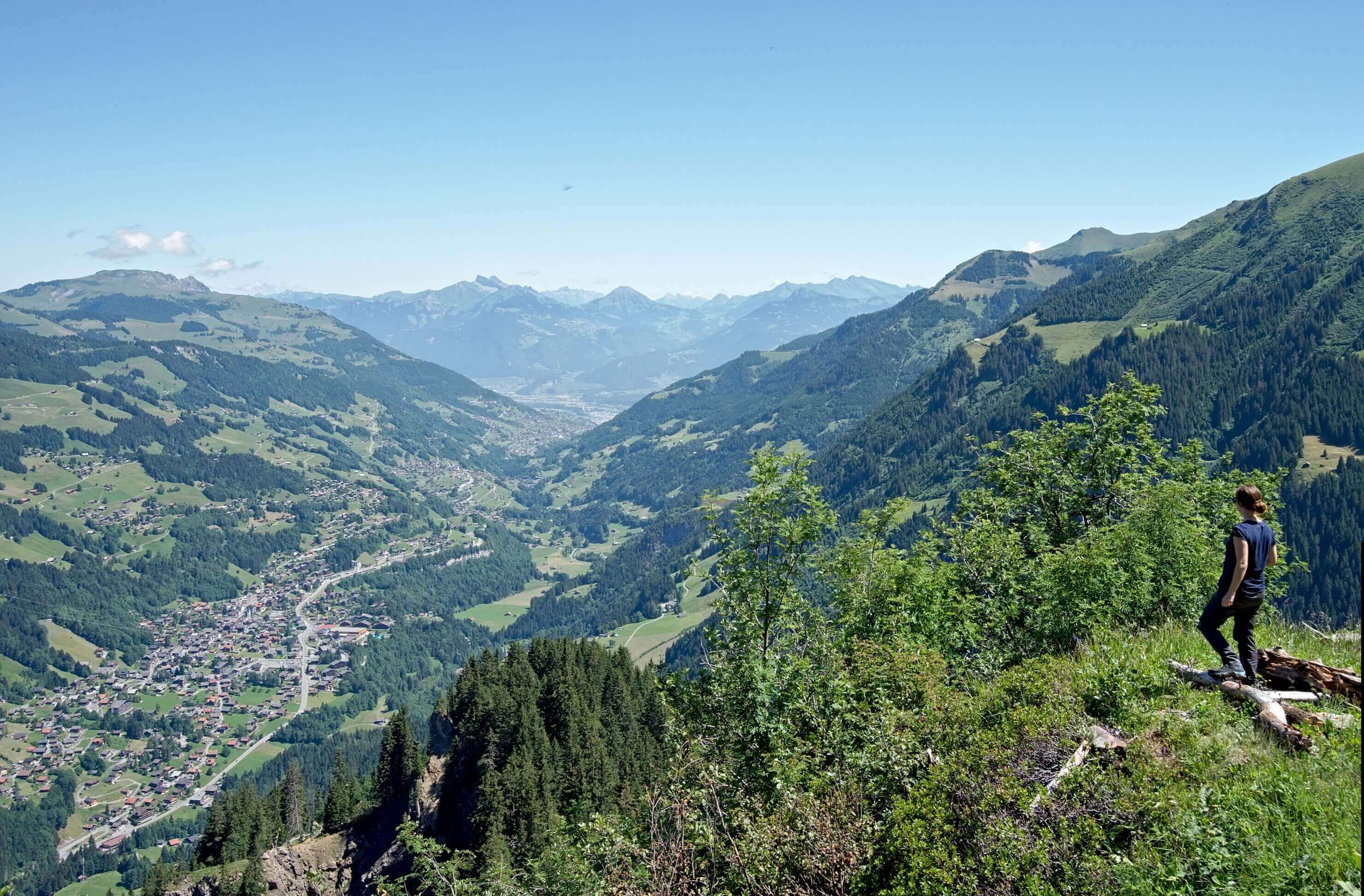
Apart from the slope, no difficulty is to be feared. We enjoy a beautiful panorama over the valley in which we can spot the “Jumelles” and the “Cornettes de Bise”. As we hike up, we can see little by little the Dents du Midi which come out above the forest.
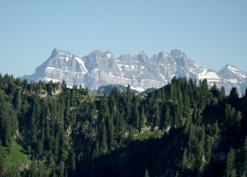
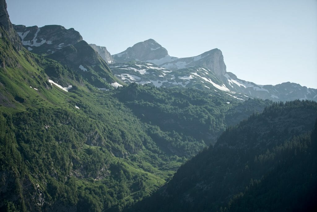
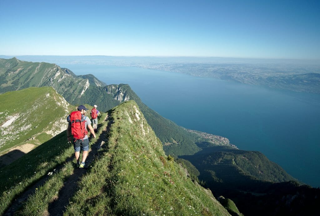
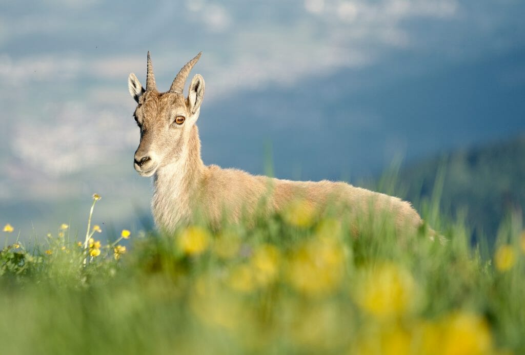
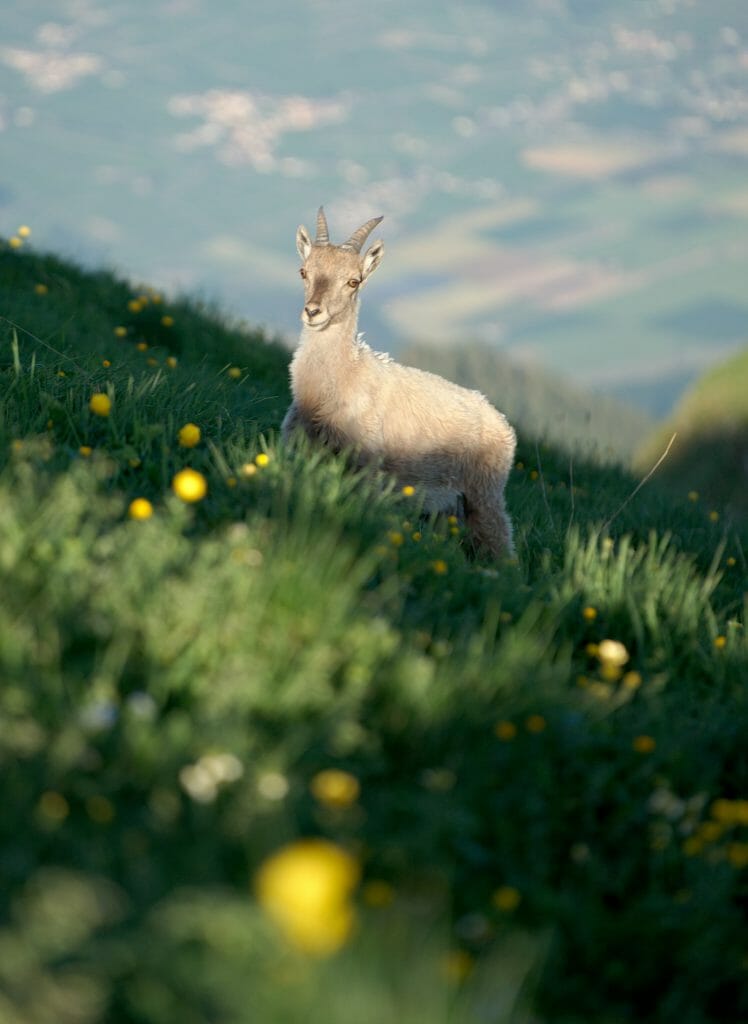
After about an hour’s walk, you will arrive on a well-deserved flat before the last climb to the Grammont…. You will already have a good overview of the magnificent view of the lake that awaits you at the top. As we walked along the ridge to the top, we even had the chance to meet some chamois… They were not very shy. It must be said that there are quite a fet people who take this path every day… they must be used to it. 😉
Edit 2012: Every time we went up to the Grammont, we always came across chamois or ibexes.
If you’re planning a trip to Switzerland or if you live here and wish to discover some new spots, don’t miss our new ebook. Released in May 2025, this 75-page guide will help you prepare for your upcoming stay in Switzerland. We’ve compiled all our best tips and tricks for visiting our beloved little country without breaking the bank. You’ll find advice on transportation, accommodations, where to shop, as well as a list of free activities and events throughout the seasons, along with our personal recommendations for hikes and must-see spots, and a selection of off-the-beaten-path itineraries (with estimated budgets). This ultra-complete guide also includes a fantastic interactive map featuring over 500 addresses and deals.

To learn more about the ebook and the interactive map, the introductory article is available here.
On top of Grammont and the descent
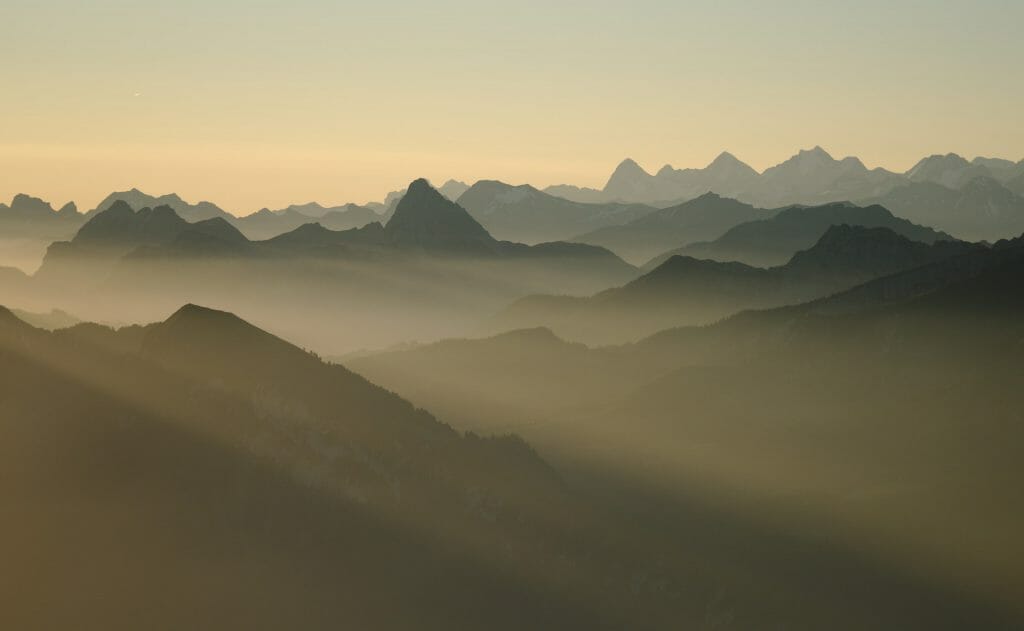
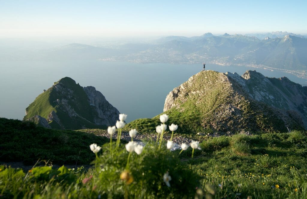
Once you reach the cross that marks the summit, stop for a picnic and enjoy the plunging view of Lake Geneva, located 1600 metres below. You can see Lausanne, Montreux, Vevey or the Rhône which flows into the lake… With this 360º view, there is also a lot to see on the mountain side with the Dents du Midi, the Jumelles and even a little further on the Mont Blanc, the Cervin, the Eiger and the Jungfrau…. In other words, it’ s splendid! And the last time we went up, there were even 3 boards that gave the names of all the mountains around.
For the descent, the easiest solution is to take the same path again because the other alternatives to go down to Taney are a little more complicated.
If you feel like going for the more challenging option, you could continue on the ridge at the top of the Grammont (ridge path on the map) and go down to the mountain pasture there. There is also a path indicated on the map that goes down to Tanay Lake (below Alamont) but we have never tried it. Looking at the topographic map, this looks pretty steep…
And above all, don’t forget to take a swim in the lake if you have the courage 😉
Infos
- Elevation 1100 m up an 1100 m down
- distance about 13km
- duration 2 to 3 hours (max 3h30) to reach the top and about 1h30 to 2 hours to get down.
To help you estimate the walking time the route represents 24km effort. - difficulty average
- price if you don’t have a car, price of the bus to get on and off the Flon (and the coffee on the terrace 😉 )
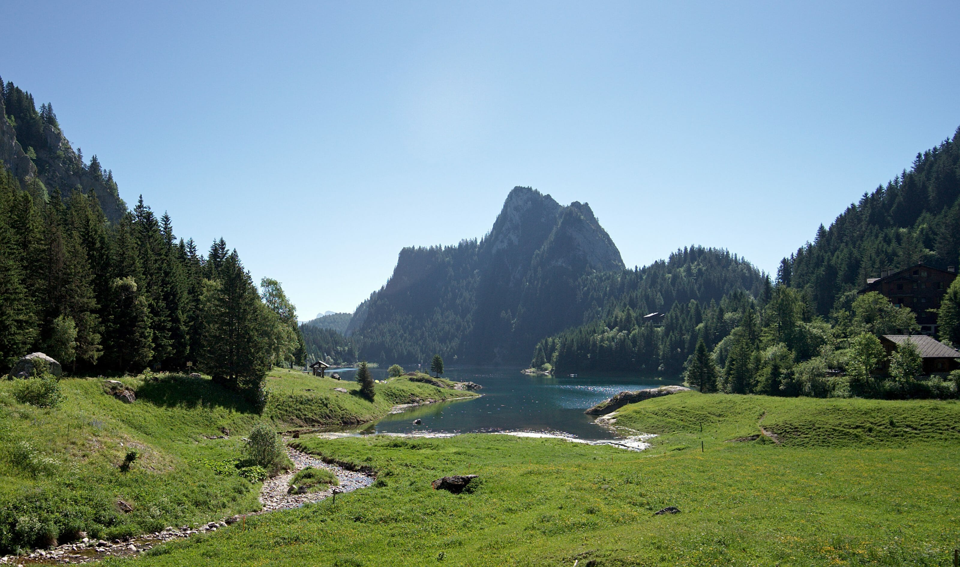
Finally, I find that this hike offers a very good difficulty/view ratio… You usually have to climb much higher to get such a panorama! In addition, Lake Taney is really a small corner of paradise which is a perfect starting point for several magnificent walks in the Chablais mountains.
Info about Le Grammont hike
Idea
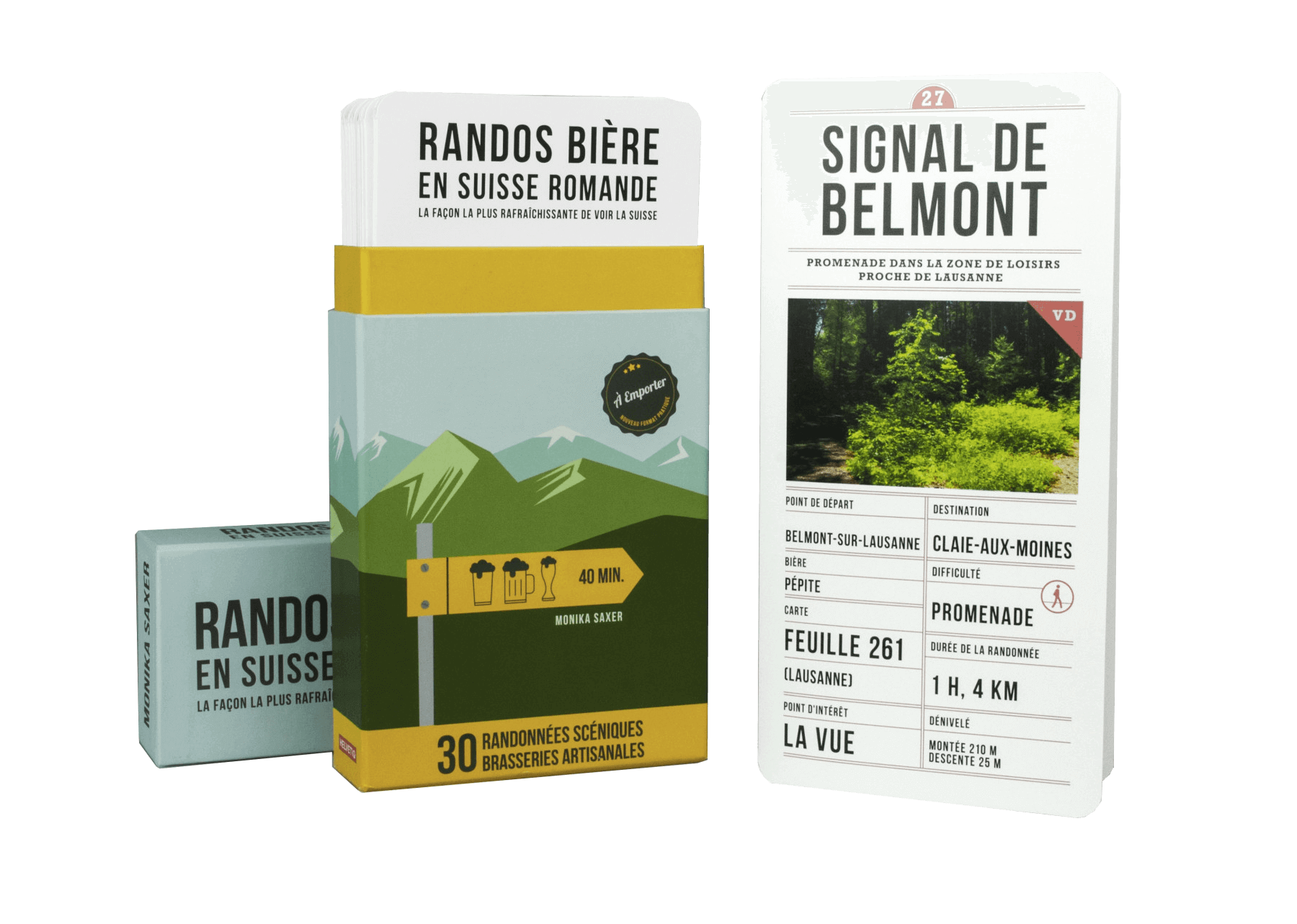 Do you like hiking? Helvetiq publishes a unique hiking guide: beer hikes in French-speaking Switzerland. 30 hiking ideas in Switzerland with the common point of ending in a local craft brewery.
Novomonde Discount: On the Helvetiq website, use the discount code “novomonde10” (without quotation marks) to get a 10% discount on the price of your order
Do you know the Grammont and this region?
Pin It
NB: this article contains affiliate links. This means that if you use one of our links to make a purchase on a partner site it will not cost a penny more but on the other hand we will receive a small commission that will help us to keep the site alive. Thank you:)

Thank you for the fantastic info and suggestion – wondering if I can hike in running shoes so i can avoid traveling with hiking boots for the short time I will e in the area for a conference. Thx!
Of course no problem to hike up Grammont with running shoes 🙂
Hi. Thanks for this great overview. Do you know if the hike is ok at this time of year? And if dogs are allowed!
well we have had quit a cold beginning of May this year so there could still be snow on top… but from today on the temperature are rising quite a lot so the snow will melt quickly. Regarding the dogs, no problem from what I know
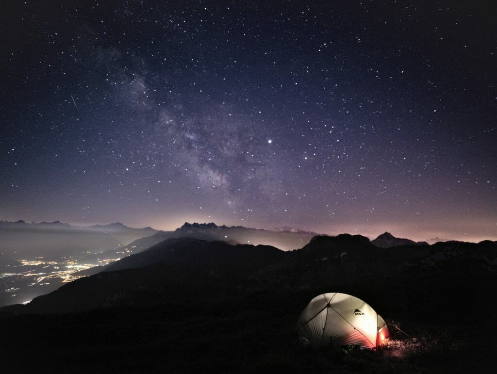
Is it best to do this hike at sunrise or sunset for the best view? Also, would you recommend doing half of it in the dark then? -would head torches be enough for this?
Thanks.
IMO sunrise is maybe a bit better than sunset but honestly both should be super good. and yeah head torches are enough