
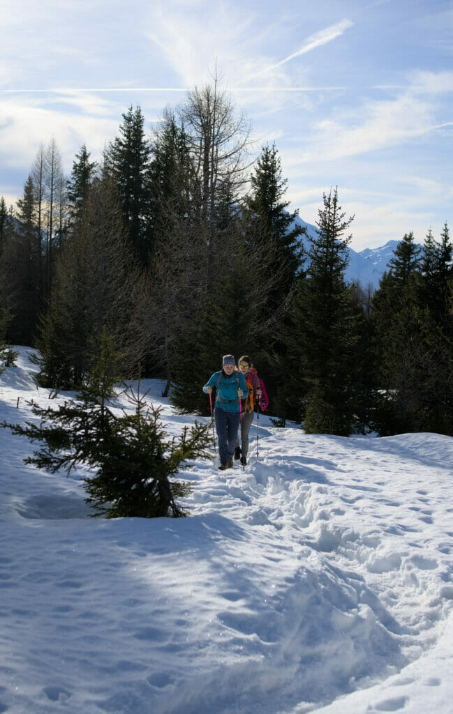
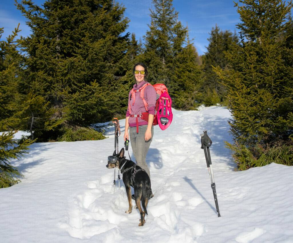
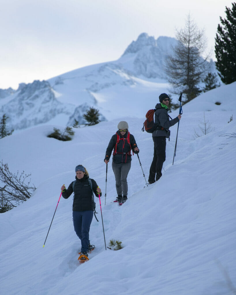
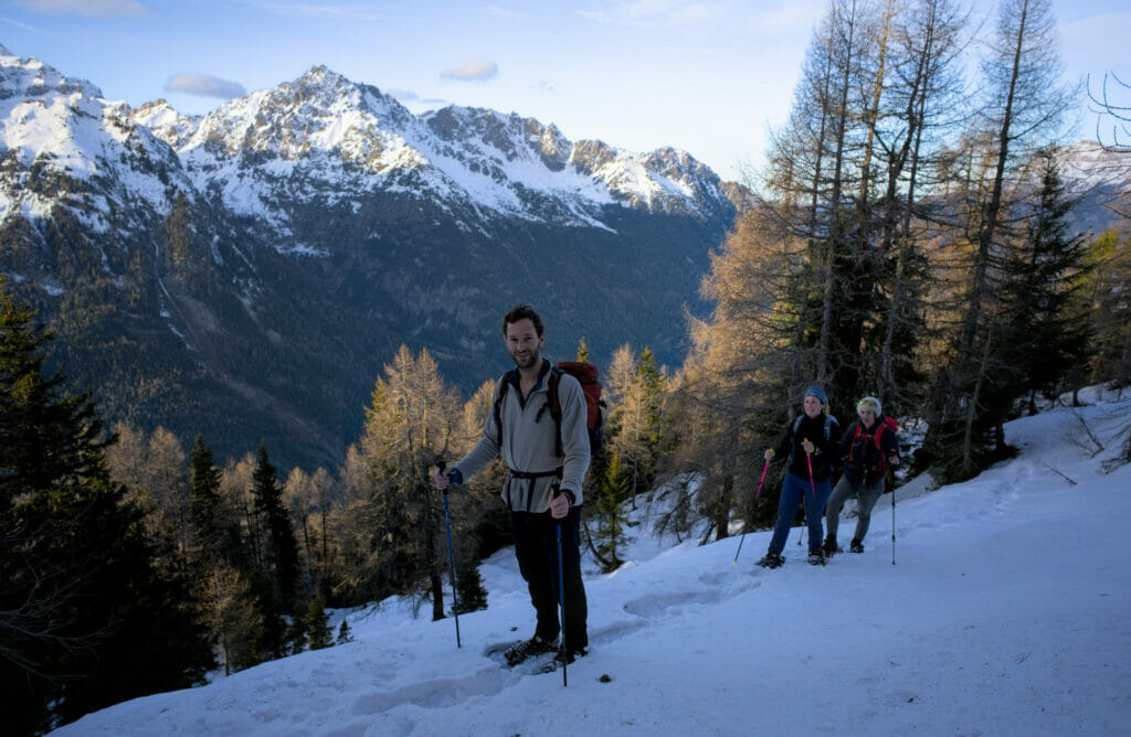
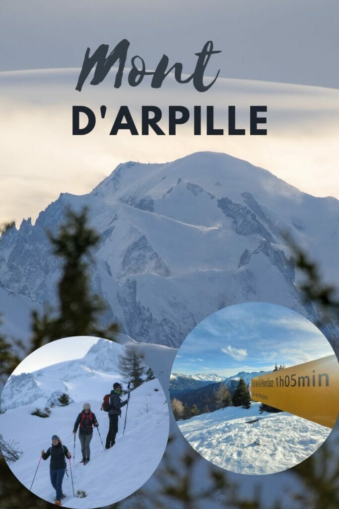
On January 1st, 2023, we came back to the col de la Forclaz to make a hike. On this occasion we went up (by foot and then by snowshoes) to the Mont d’Arpille with 2 friends, Laurène and Olivier.
This nice hike, gave us the desire to share here this itinerary but also to propose you some alternatives (you will see it below, the snow conditions during our hike were particular and it could thus be judicious to consider a different route according to the conditions – we give you all the details further in the article).
At the end of the article we have also added another idea for a summer walk: the bisse du Trient.
Mont de l’Arpille: Loop hike in Valais
Start from col de la Forclaz
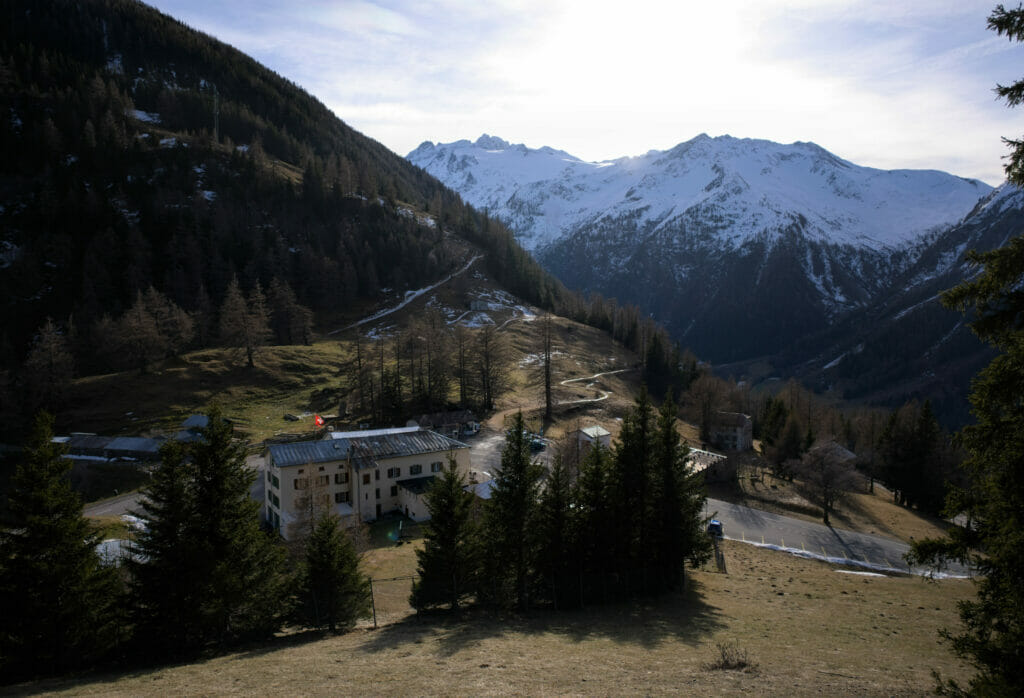
Today’s hike starts on the parking of the Forclaz pass in Switzerland. The Col de la Forclaz is relatively well known by the cycling lovers but also for its historical side. Indeed, this road allows to link Martigny (in Switzerland) to Chamonix (in France) while crossing spectacular landscapes. The place is also famous for paragliding, but we won’t be able to tell you much more about this activity. 😉
On the historical side, we find many quotations of this pass in the accounts of travelers of the XVIIIth and XIXth century who left Geneva to join the Valais or Italy by way of Chamonix. Of course, at that time the pass was only used on foot or by mule 😉 The first road open to cars was built at the beginning of the 20th century.
But I reassure you, in 2023, we can easily reach the pass either by car or by public transport! In short, you can leave the mule in the stable.
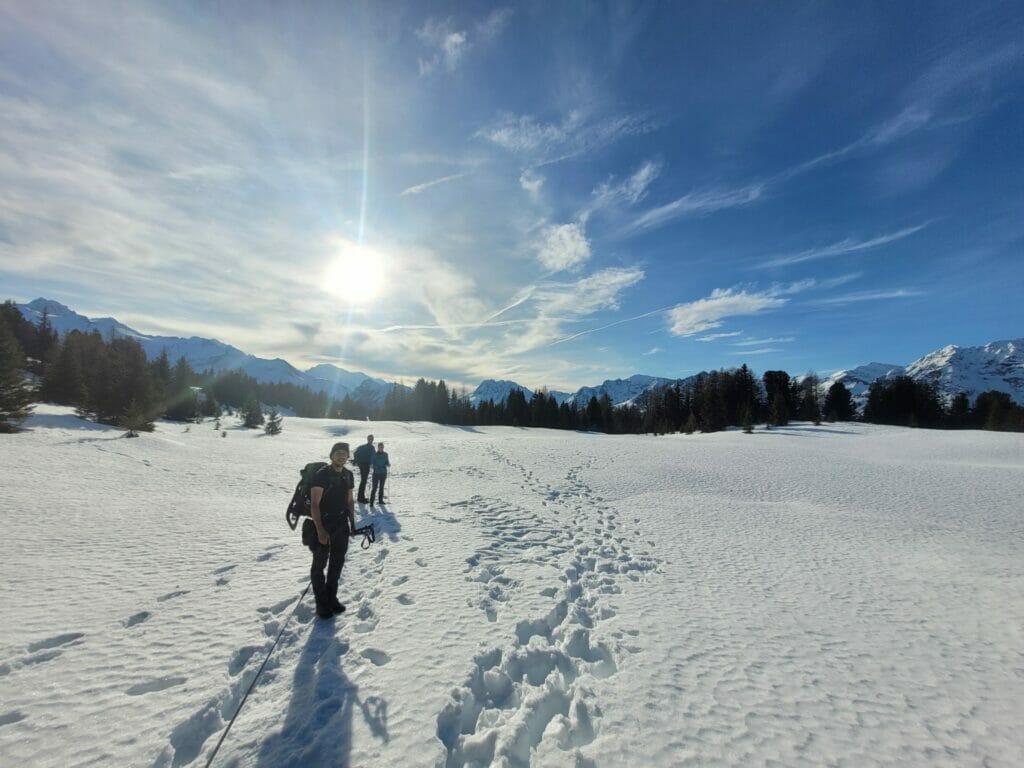
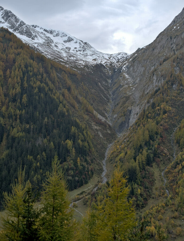
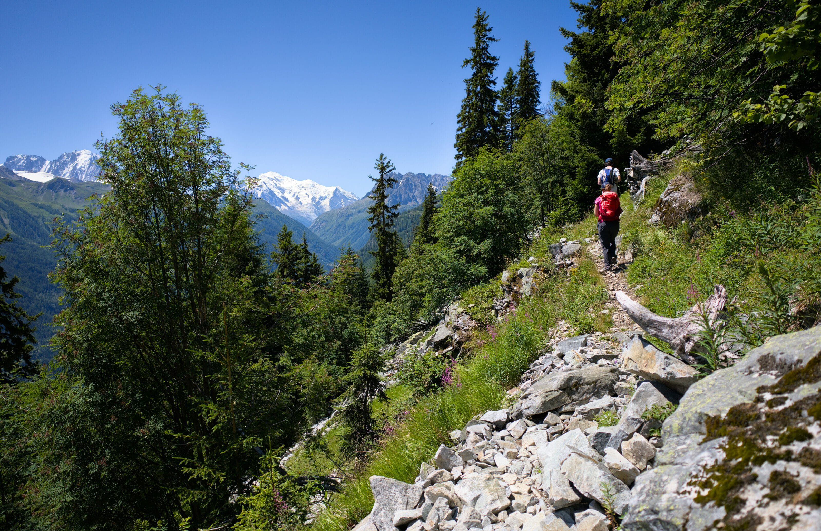
At the beginning of the parking lot we attack directly “the serious things”. The path climbs in lace in the forest, with some nice clearings which allow to enjoy the view which becomes clearer and clearer as we climb.
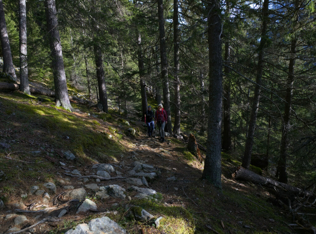
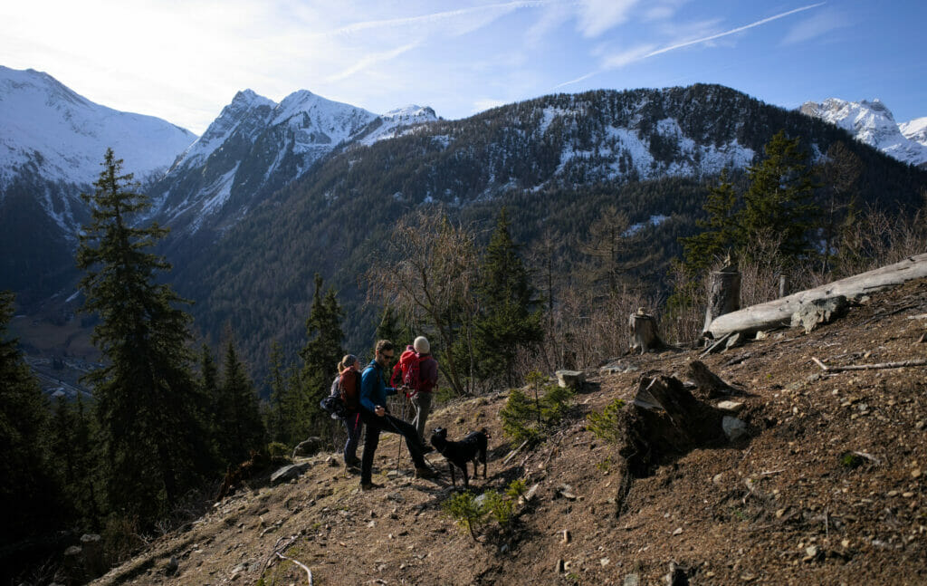
450m of elevation gain in 1,5 km, as much to say that it is an excellent way to remember the few excesses of the holidays (because yes, we hiked on January 1st haha)!

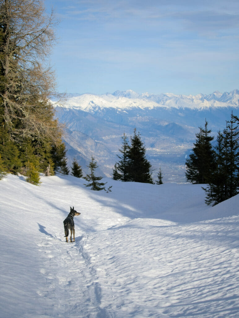
When we reach the plan du Gy, the slope becomes gentler and that day it was here that we took our first steps in the snow. Not enough to put on snowshoes, but it was already very beautiful to walk on this white coat with the mountains in background.
If you’re planning a trip to Switzerland or if you live here and wish to discover some new spots, don’t miss our new ebook. Released in May 2025, this 75-page guide will help you prepare for your upcoming stay in Switzerland. We’ve compiled all our best tips and tricks for visiting our beloved little country without breaking the bank. You’ll find advice on transportation, accommodations, where to shop, as well as a list of free activities and events throughout the seasons, along with our personal recommendations for hikes and must-see spots, and a selection of off-the-beaten-path itineraries (with estimated budgets). This ultra-complete guide also includes a fantastic interactive map featuring over 500 addresses and deals.
To learn more about the ebook and the interactive map, the introductory article is available here.
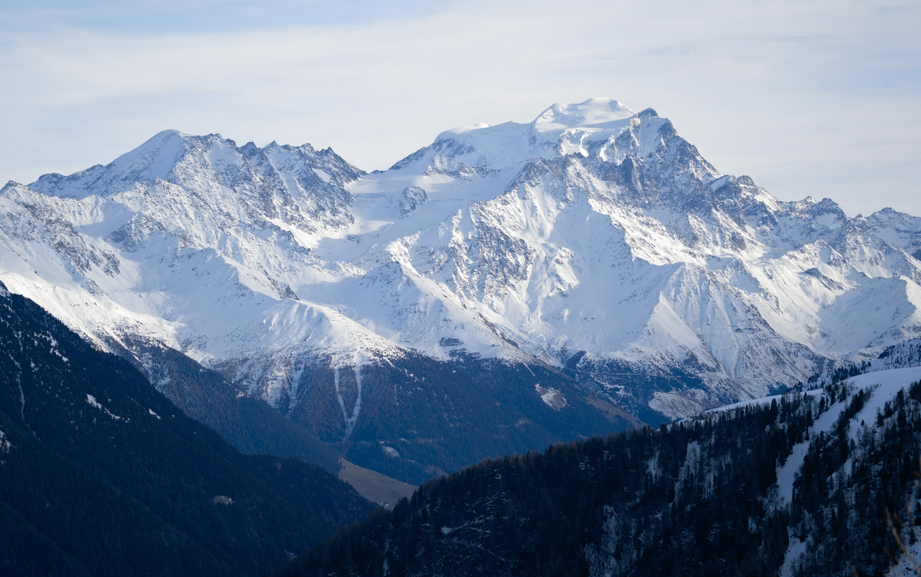
The summit of the Mont de l’Arpille
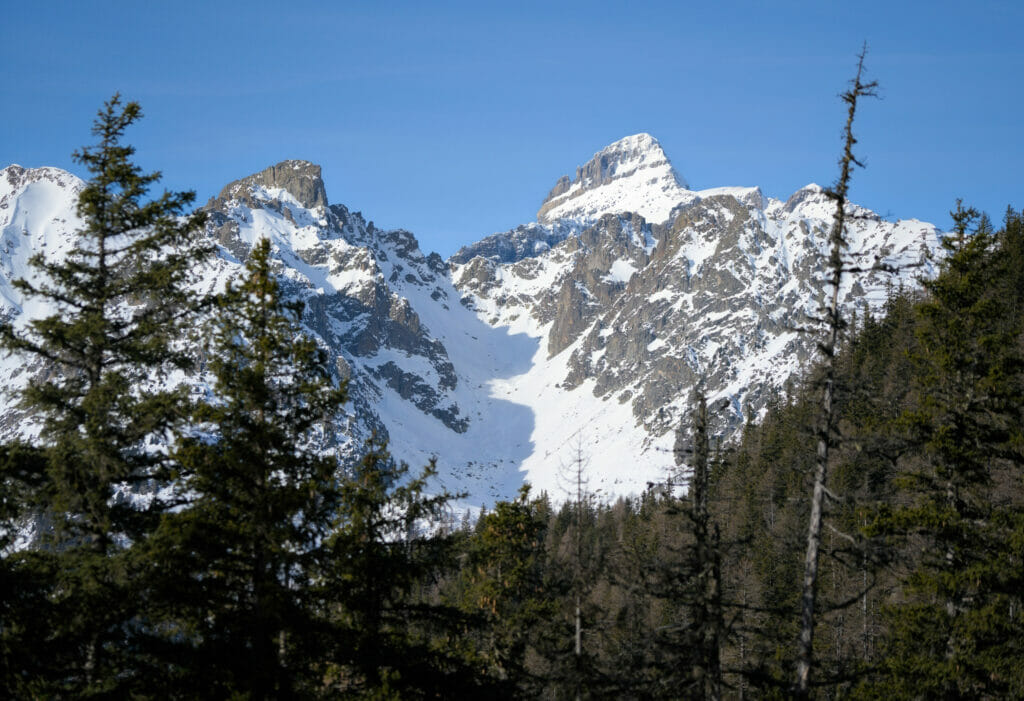
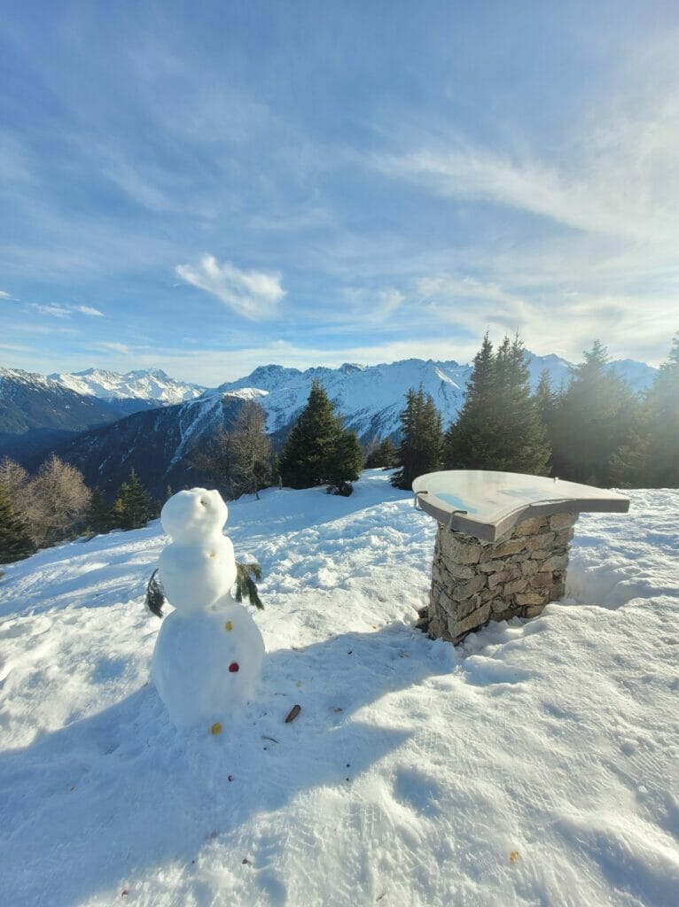
The arrival at the summit of Mont d’Arpille is very smooth. It is definitely one of those summits that offers an excellent “effort-view” ratio. It’s actually quite funny because when you arrive from the little flat area behind, it’s still very difficult to imagine the panoramic view that awaits you! Judge for yourself
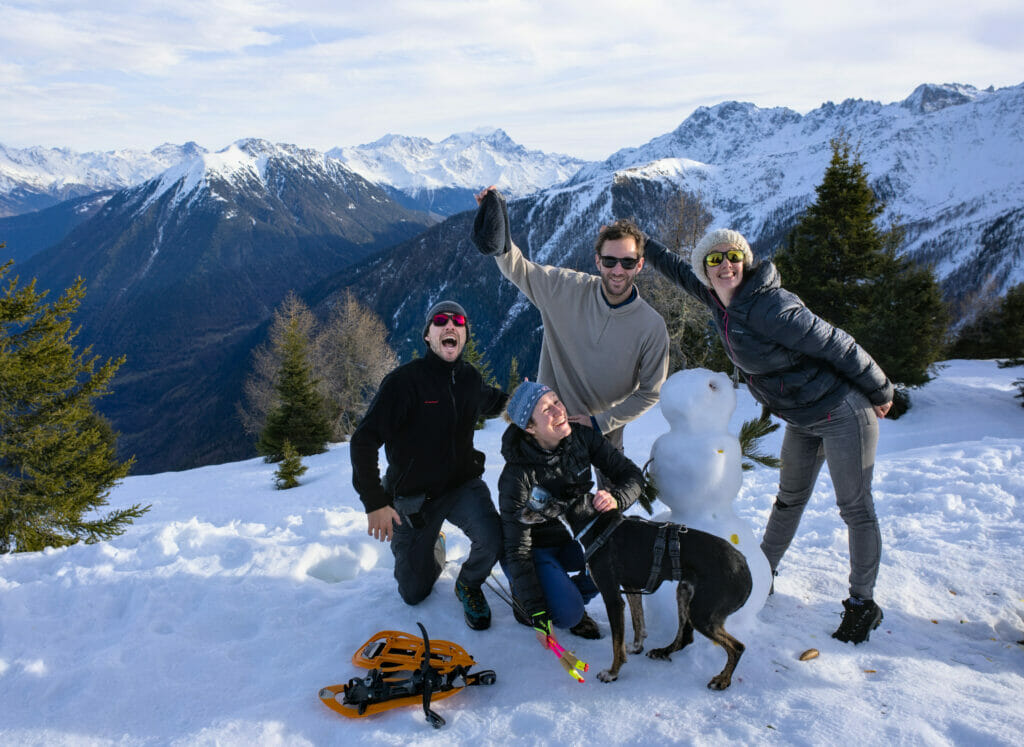
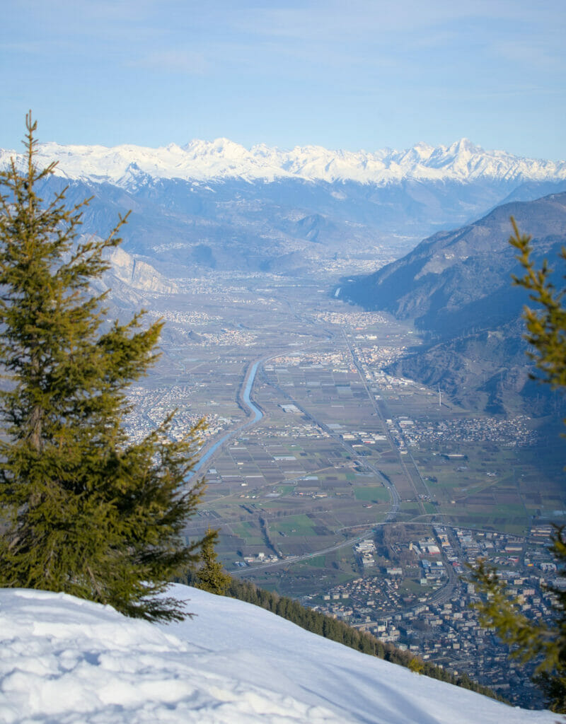

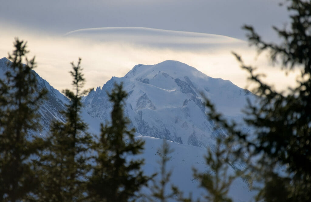
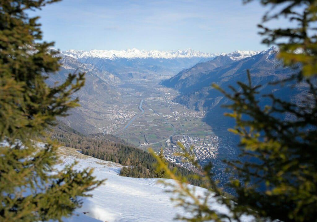
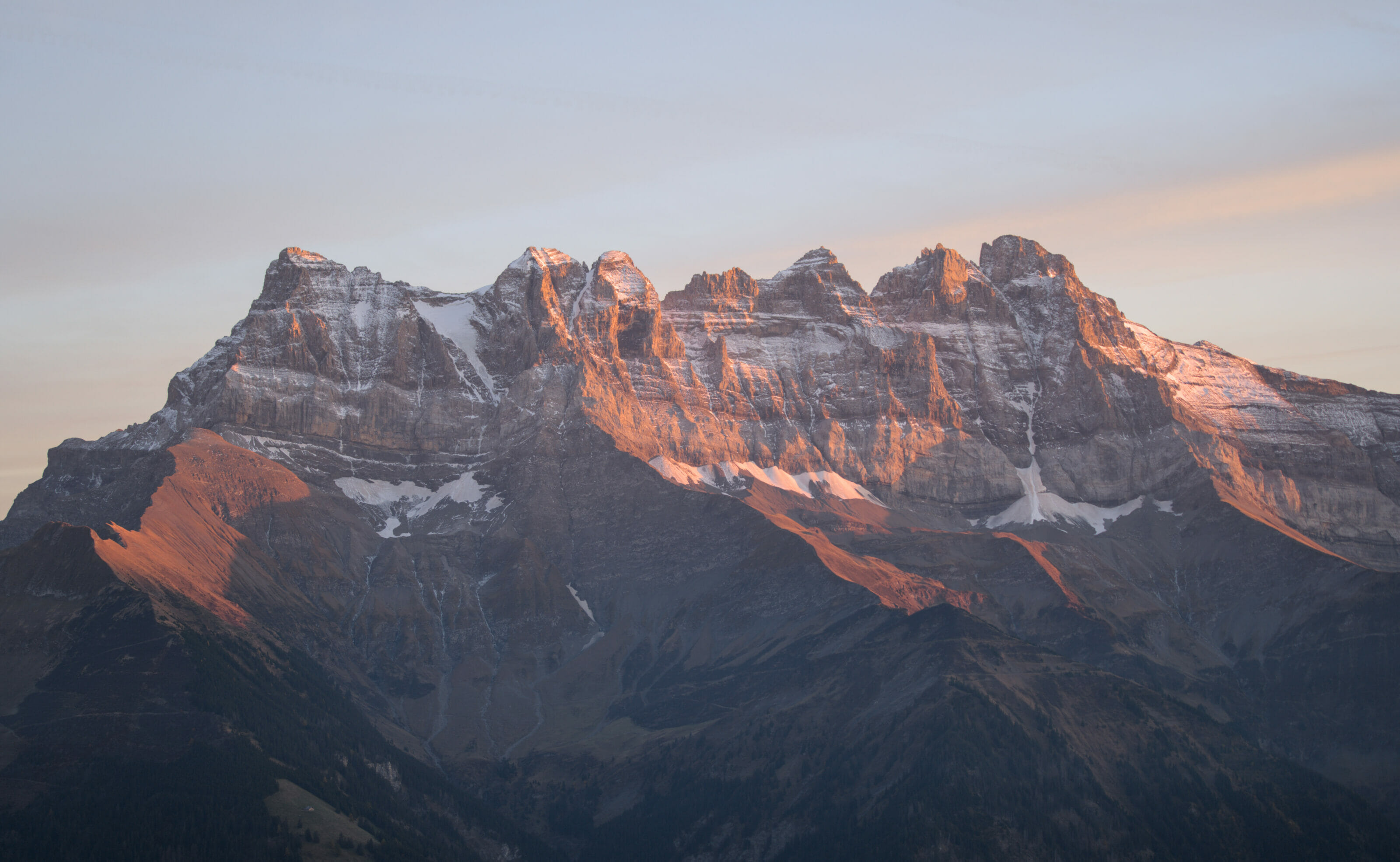
Contrary to summits like the pointe de Bellevue, the view from the Mont d’Arpille is not what we could call 360°, it is more like 180° or 240°… But it is not disappointing 😉 In our field of vision, we have an incredible view on the summits of Valais like the Combins massif but also the Mont-Blanc massif on the French side as well as the Rhone Valley.
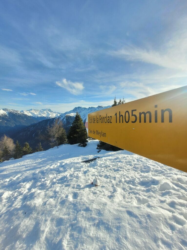
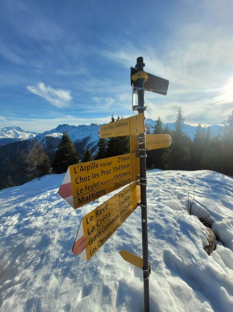
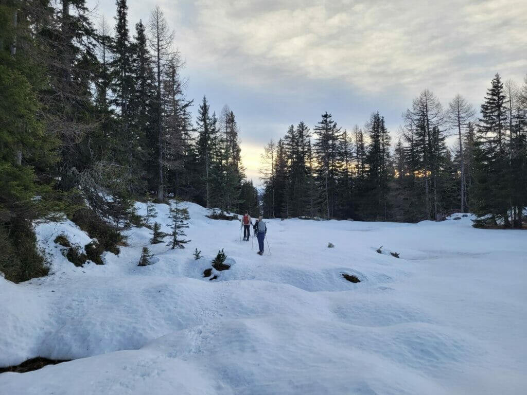
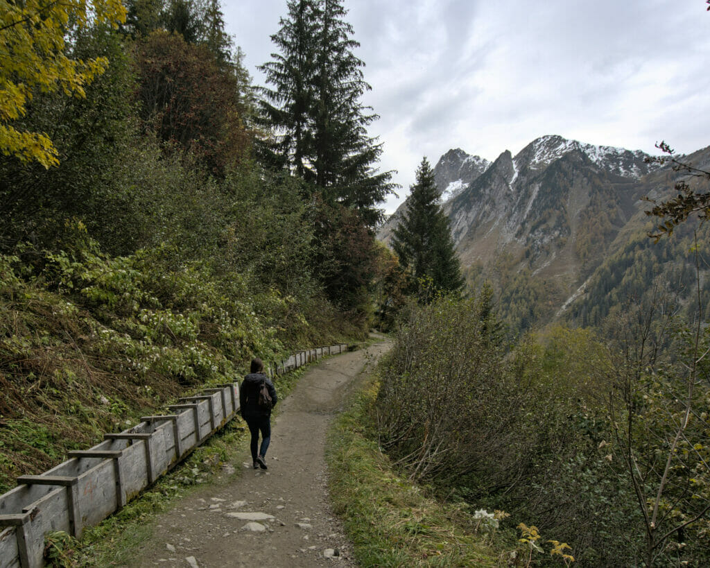
Return to the Col de la Forclaz via the Gouille verte
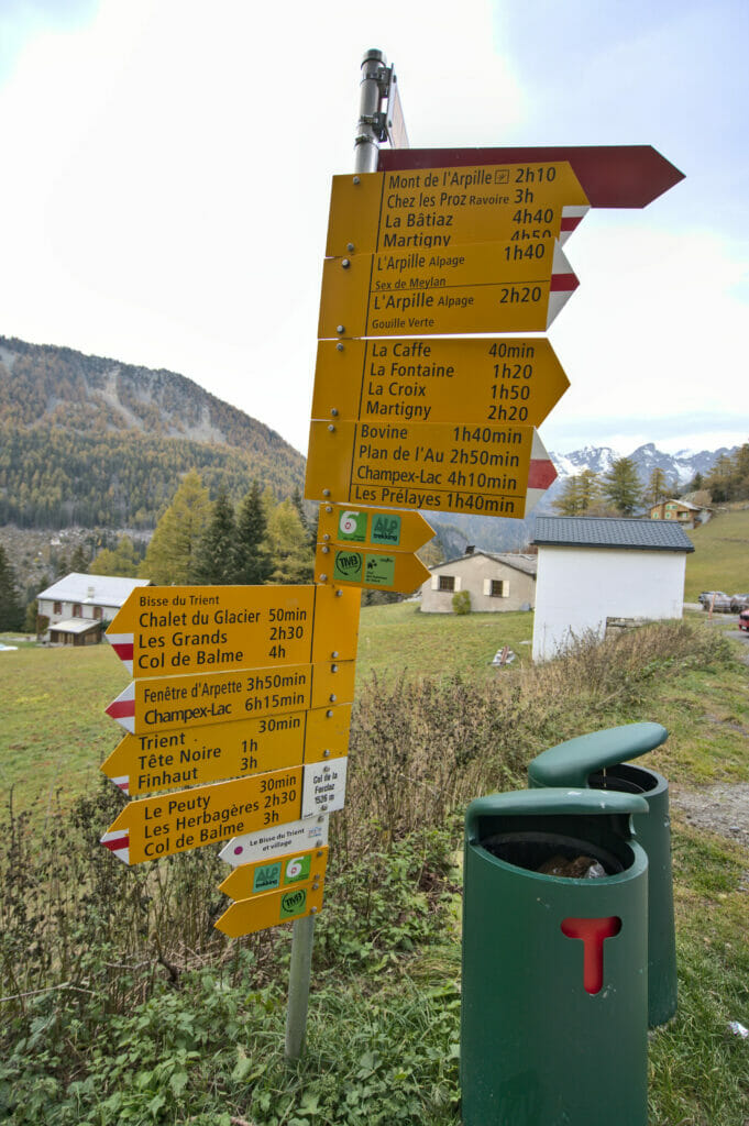
From the summit, hiking signs indicate the different directions in which to go. 2 arrows go in the direction of the Forclaz pass, but in fact we decided to go in the opposite direction in the direction of the Arpille mountain pasture #DetoursDontScareUs 😉
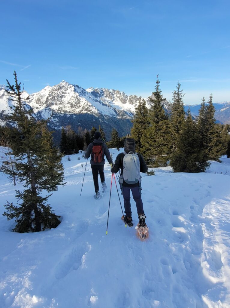
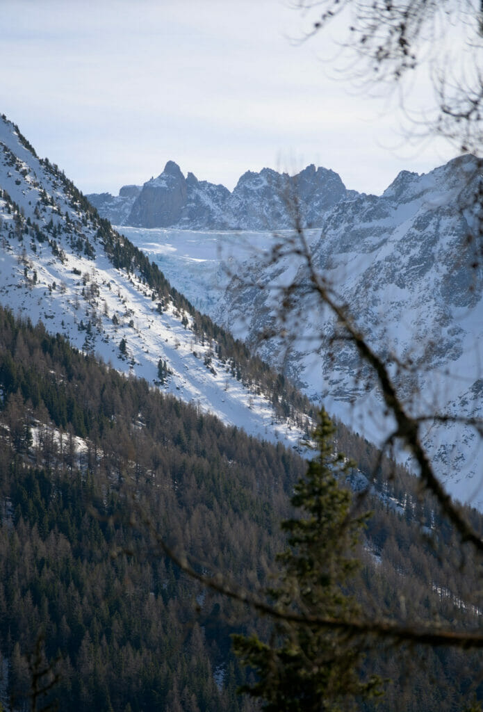
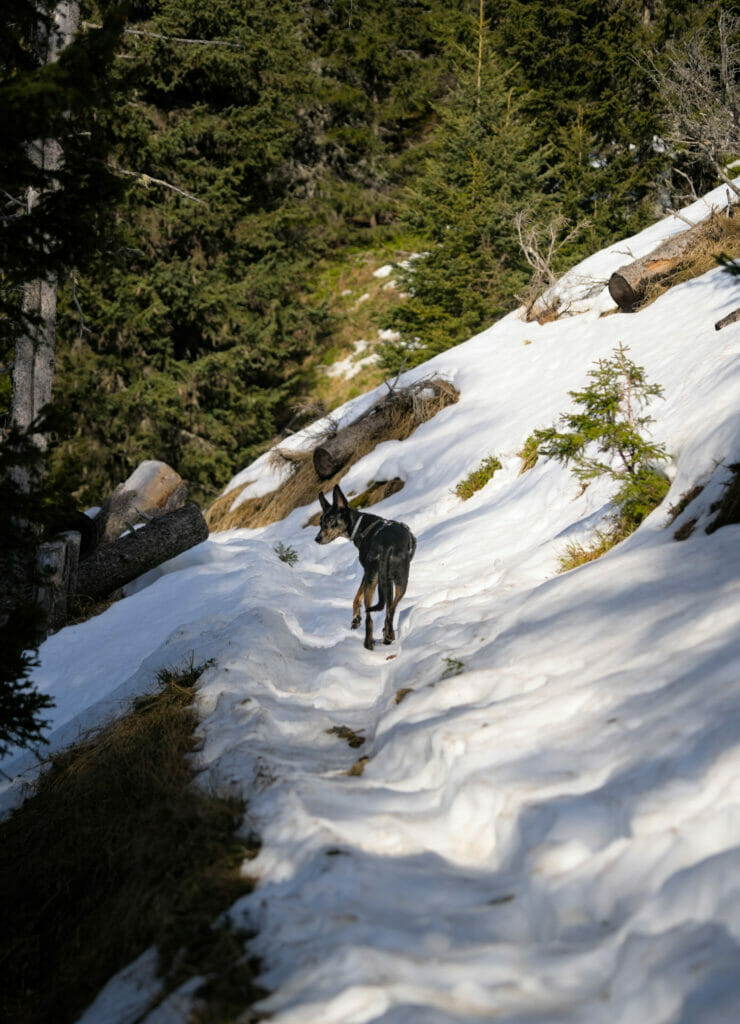
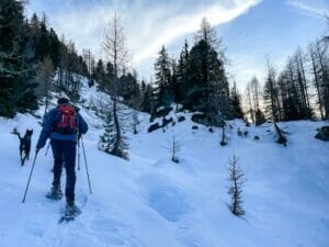
This variant is very interesting because we start by following the crests of the Mont d’Arpille with always this breathtaking view on the snowy summits. From this point, we arrive in the less sunny side and we decided to put on snowshoes. The descent was a bit tricky at times but we finally arrived at the small intersection just above the alpine pasture without too much trouble.
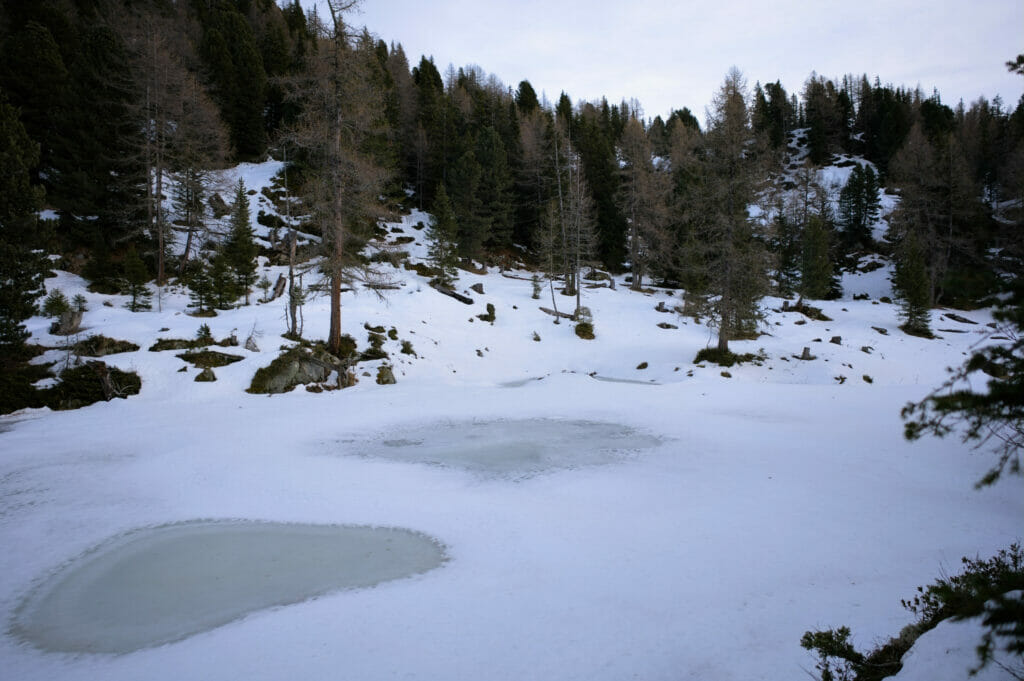
Here, a sign indicates the gouille verte on our left (and the col de la Forclaz). We admit it, we were surprised to see that nobody had yet passed by this route and that the snow was still immaculate (and the markings on the ground absolutely invisible).
At that moment, we had 2 options:
- Retrace our steps to the Mont d’Arpille and take one of the two more direct official routes… Hmmm…
- Continue with our initial idea by “estimating” the trail using our GPS route on the phone and create the first tracks in the snow ourselves.
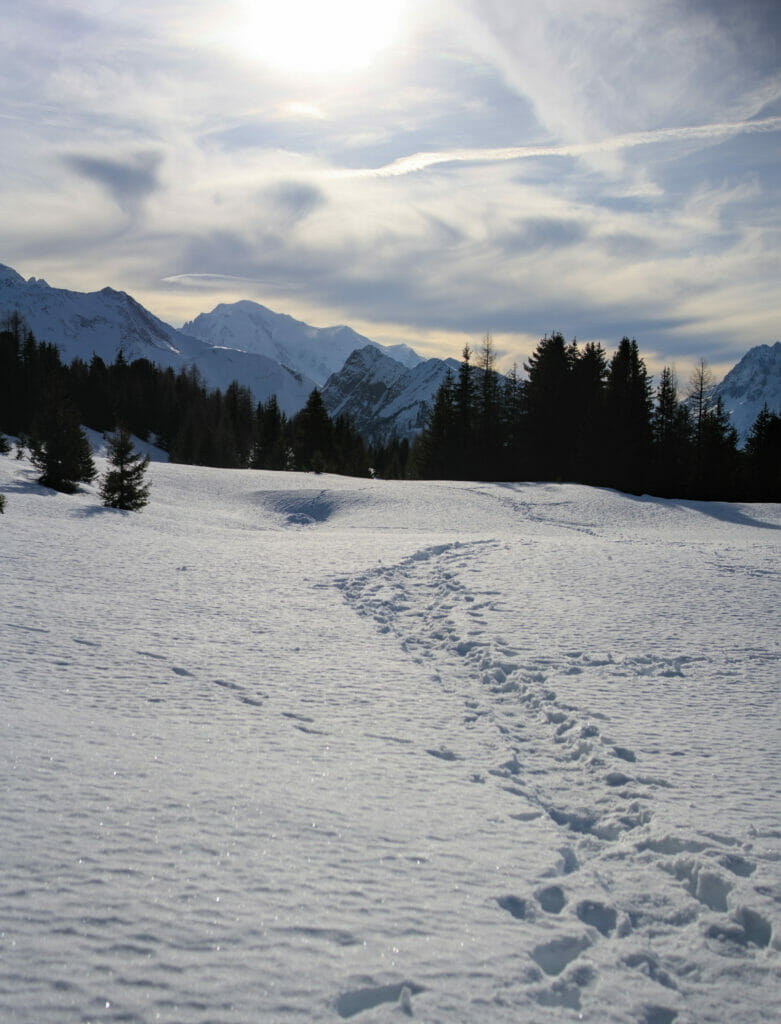
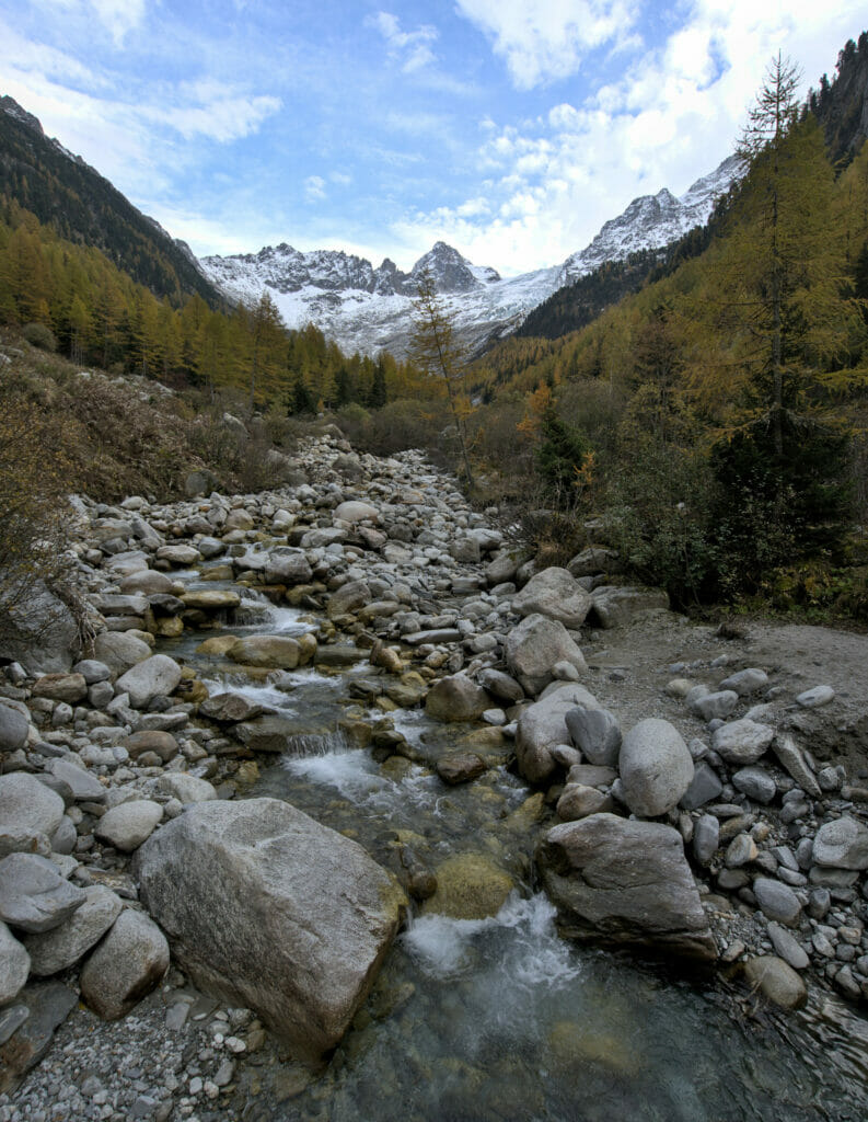
Not very keen on the idea of going back on our steps, we decided to opt for this second variant. There was no danger of avalanche and we still had more than enough battery on our phones to be sure to reach our destination 😉 We made a few path mistakes, but overall we did pretty well. Afterwards, we couldn’t help thinking that this route is probably very nice in summer too… Indeed, we pass near several small ponds/lakes. In winter, we had to be careful not to pass over them (the ice was still too thin at the time of our passage) but in summer they must be very nice picnic spots 😉
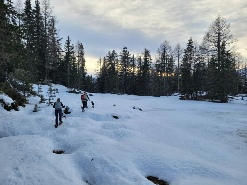
If we didn’t make any major mistake following the GPS, we were a bit optimistic about our timing… Finding our way and making our tracks in the snow takes time, a lot of time! So much so that it must have been 4:45 pm when we arrived at the Gouille Verte.
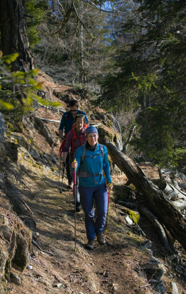
Once back on the forest path that goes down to the Forclaz pass, we were quickly plunged into darkness. The hike ended by the light of our phones. We were quite tired but very happy about this nice walk on the first day of the year!
Map and Infos of the Mont d’Arpille hike (departure from the Col de la Forclaz)
Here are the details of the route we followed:
- Distance : 8,5 km
- Elevation change : about 730m (+ and -)
- Difficulty: Easy – Medium (the climb in the forest is quite steep)
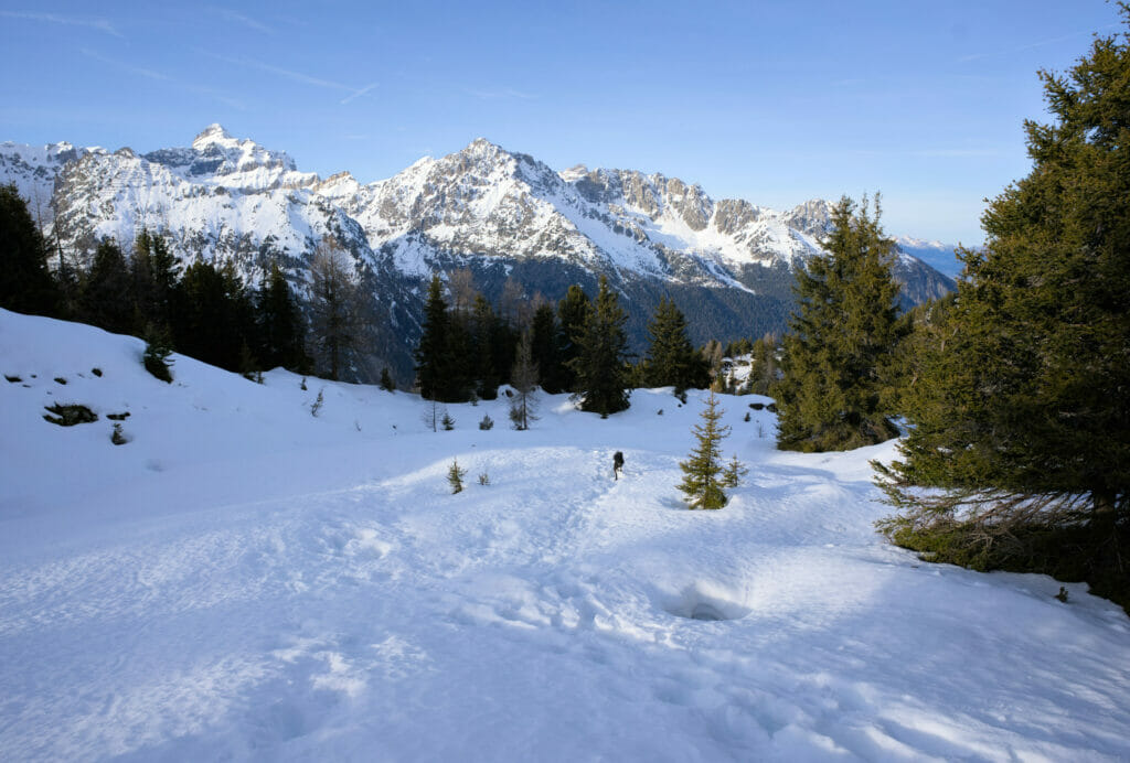
- Season : This hike is rather thought for the summer season (in this form). We could follow this trail in winter because the conditions were good (no snow for the ascent in the forest, no risk of avalanche). Nevertheless, we had to “create the track” for the return and follow the GPS indications of our route (path not visible), clearly, we don’t recommend this itinerary under the snow if you are not used to it, but we encourage you to start from Ravoire following the official snowshoeing path (see below)
Alternative: The mont d’Arpille from Ravoire
If, like us, you decide to come in winter, there is an alternative route that is more “official” for snowshoes. Indeed, the route we followed is not marked and it can be a little more complicated to find your way if there are no tracks.
The marked itinerary of the Mont de l’Arpille starts from Ravoire, or rather from the top of the village. This itinerary can be done as a round trip or as a traverse to finish at the col de la Forclaz (this second option is ideal if you come by public transport, a little less by car).
But be careful, the part between the top of the Mont d’Arpille and the col de la Forclaz is quite steep. If there is a lot of snow, it could be complicated.
The part from Ravoire to the summit is an alternative which is very nice with touring skis or snowshoes and has the advantage to be on a much softer slope. The risk of avalanche is very limited if you stay on the official trail (after it is obvious that you should always check the conditions of the moment).
We did not follow this itinerary, but it seemed relevant to me to include it here because the variant we followed was really adapted to the conditions at the time of our visit (little snow, no risk of avalanche) but in the middle of winter we would probably have opted for this itinerary:
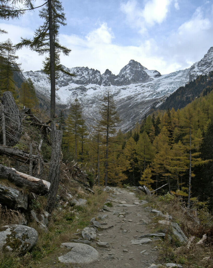
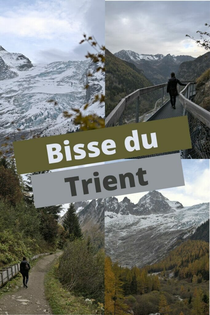
The bisse du Trient
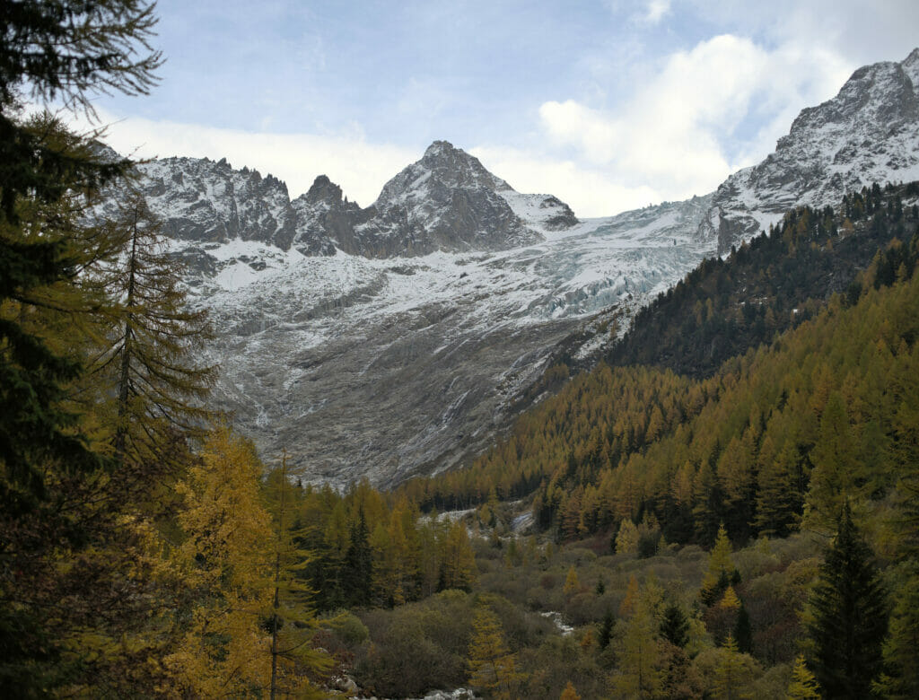
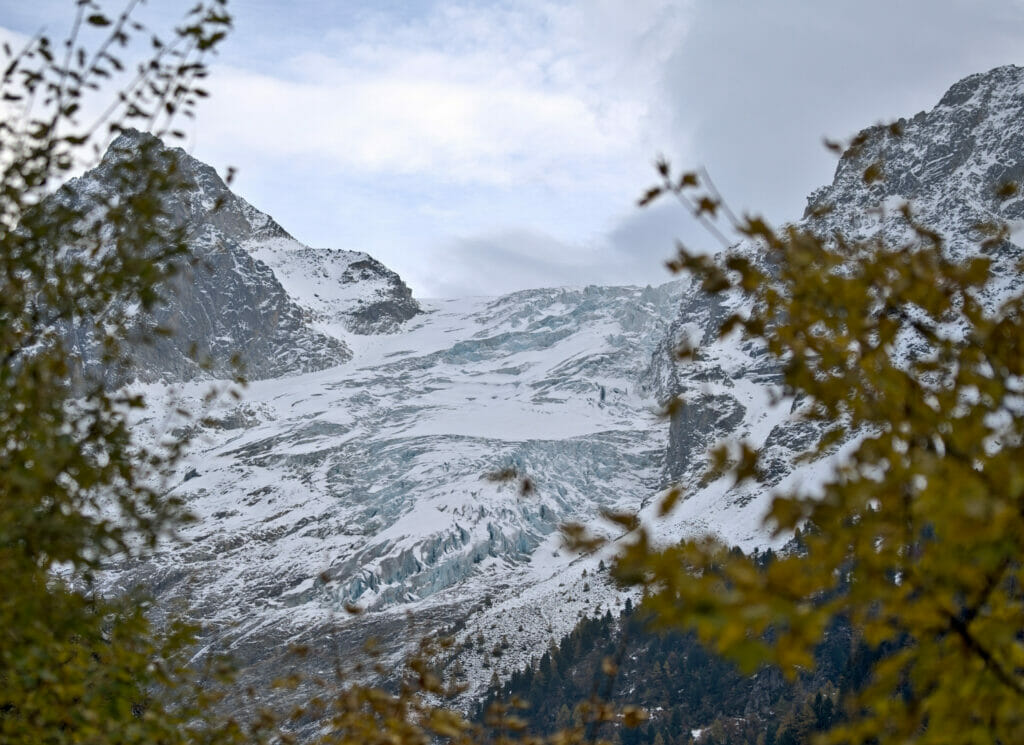
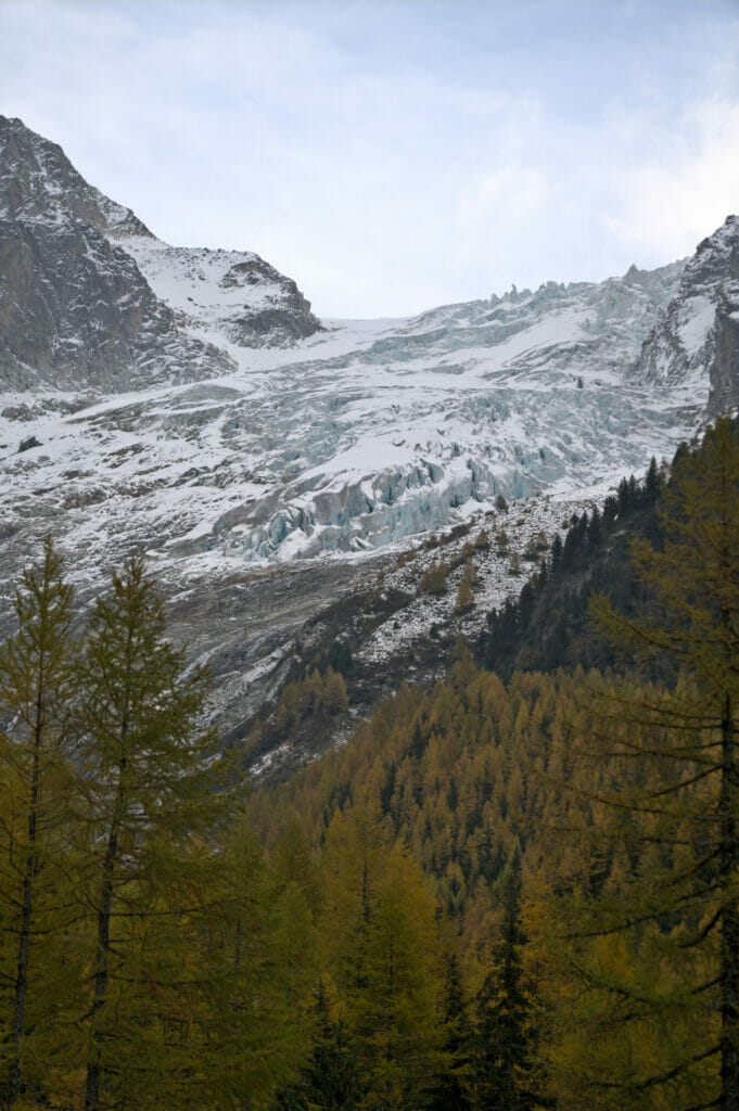
From the col de la Forclaz, there is another itinerary which is very often used and which is well worth discovering: the Trient bisse. More than a “real” hike, it is more a nice walk at the foot of the glacier.
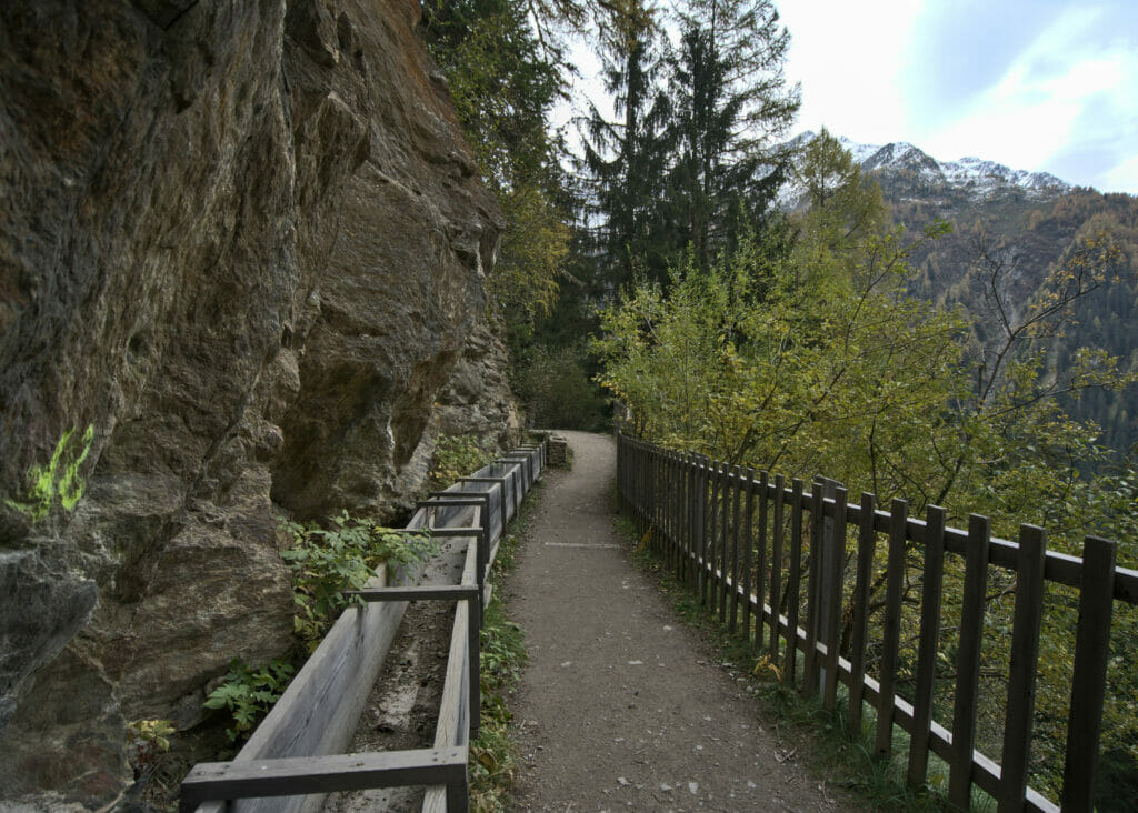
The itinerary does not require much explanation to be honest… At the beginning of the pass, a nice path runs along the bisse for 3,3km (6,5 km round trip) to the “chalet du glacier” which is a little bar open during the summer months.
History of the Trient Bisse
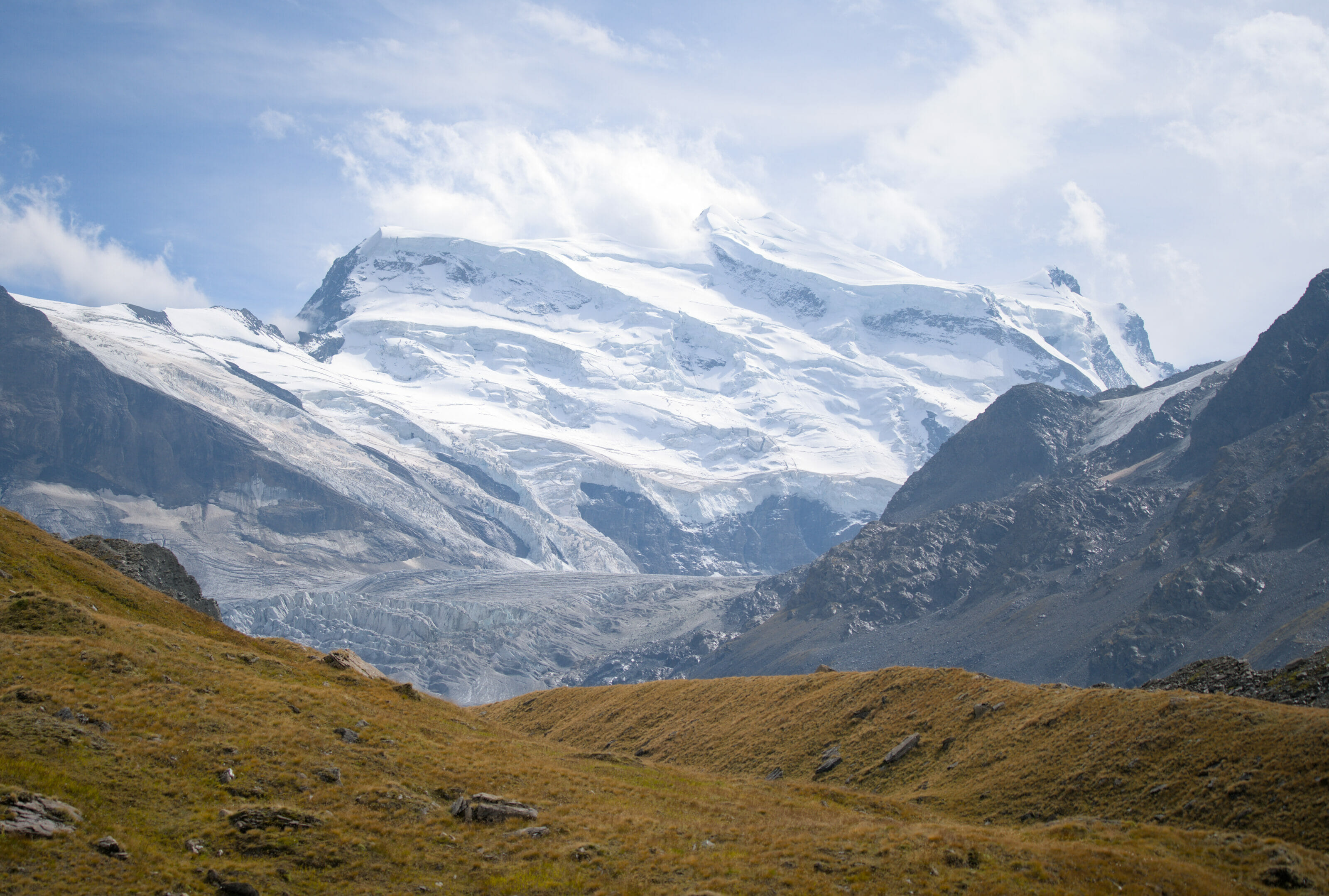
We are far from being experts in history and it is quite rare that we talk to you about the past of a place… But for the bisse du Trient we will make an exception! It all started in 1865, when a certain Mr. Robatel obtained an exclusive authorization for the exploitation of the ice of Trient. At that time the glacier was “in flood”, that means that in spite of the fact that the workers removed about 1m of ice every day, the advance of the glacier was able to compensate for that.
As early as 1883, the company had a small railway built to transport the ice blocks more easily from the valley floor to the col de la Forclaz. The ice thus extracted was distributed to restaurants in the region, but it was also sent by train to the largest cities in France (Lyon, Paris and Marseille). The exploitation ceased in 1893 and in 1895 some farmers of the region saw an opportunity to use the “flat” path created by the rails to install a bisse and thus irrigate their farms in the coombs of Martigny. The water of the glacier is thus used for the cultures of the region until the 70s. The bisse was “abandoned” for about 15 years before being restored for tourist purposes.
Maps and Information for the Trient Bisse Walk
This route is very easy and accessible to a wide audience.
- Distance: 6,5 km (total, round trip)
- Elevation change: 150m
- Start and Finish: Col de la Forclaz
- Access: by car or public transport
Access to the bisse is officially open from May to October/early November. Out of season, the bisse is not maintained/secured and it is not recommended to venture out. Personally, we recommend this route between June and September 15, when the bisse is “in water”. Moreover, this period corresponds to the opening of the “buvette”, which makes the walk much more pleasant 😉
That’s it for today. If you have any suggestions of hiking itineraries starting from the Col de la Forclaz or in the surroundings, don’t hesitate to leave us a little comment. We don’t live far away and we are always looking for new routes to discover 😉
See you soon!
Pin it

Join the discussion