This summer of 2022 we have decided to spend it 100% in Switzerland and more particularly at home in Valais. Based in Morgins, we like to take advantage of the nice days to explore parts of the Chablais that we don't know yet.
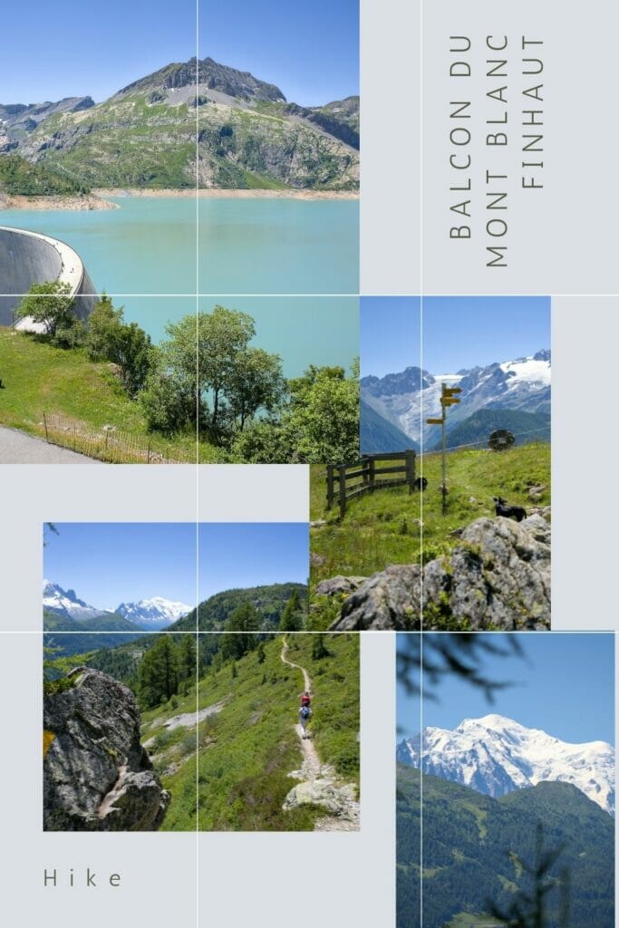
A few weeks ago we went to Finhaut in the Trient valley. The objective? A nice loop hike following the path called "Balcon du Mont Blanc" and passing by the famous dam (and lake) of Emosson.
Shall we take you with us?
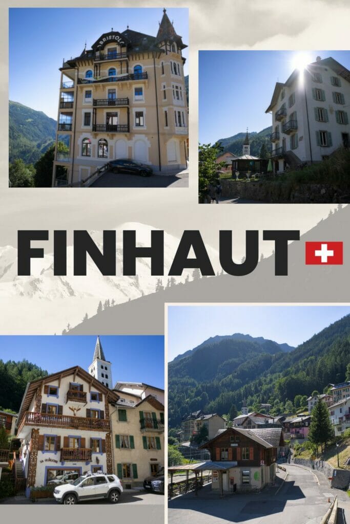
The charming village of Finhaut
Our hike of the day starts in the pretty village of Finhaut.
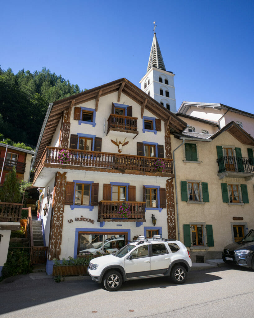
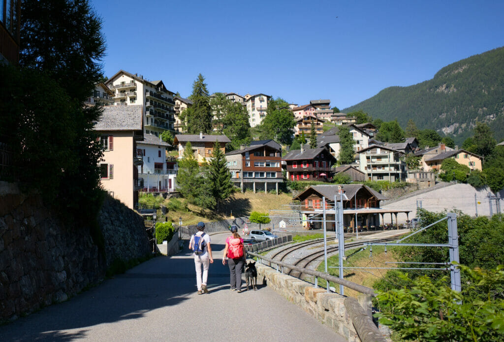
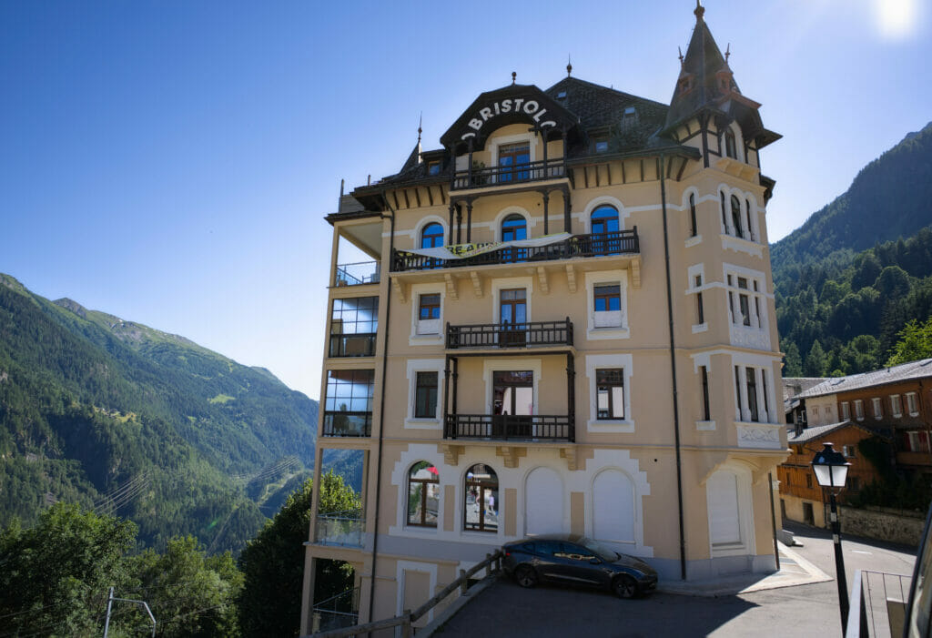
Does the name not ring a bell? What if I told you that at one time, this place was one of the top tourist spots in Switzerland. Yes, I promise you! In fact, Finhaut was, with Zermatt and Montreux, one of the 3 most popular destinations between the end of the 18th and the beginning of the 19th century!
The reason? Located on the road between Martigny and Chamonix, the village was quickly accessible (first mule tracks, the first paved roads, then the stagecoach road (1861) and then by rail (1901)) and above all it offered a wide range of hotels. At that time, Finhaut had 23 hotels/pensions to welcome in the best conditions the European aristocrats and especially the English lords.
Needless to say that Finhaut and Zermatt have taken very different paths in terms of tourism since… In Finhaut, there are almost no hotels left in activity and only some 350 inhabitants are still living there. By the way, if you are interested in this topic, we have put below a small documentary realized by Canal9 (a local TV channel) which explains a little bit these two so different destinies. The documentary is is French only though...
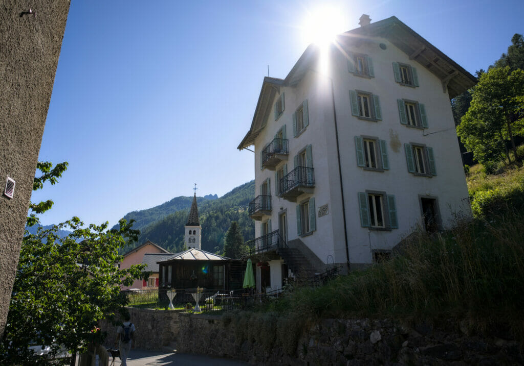
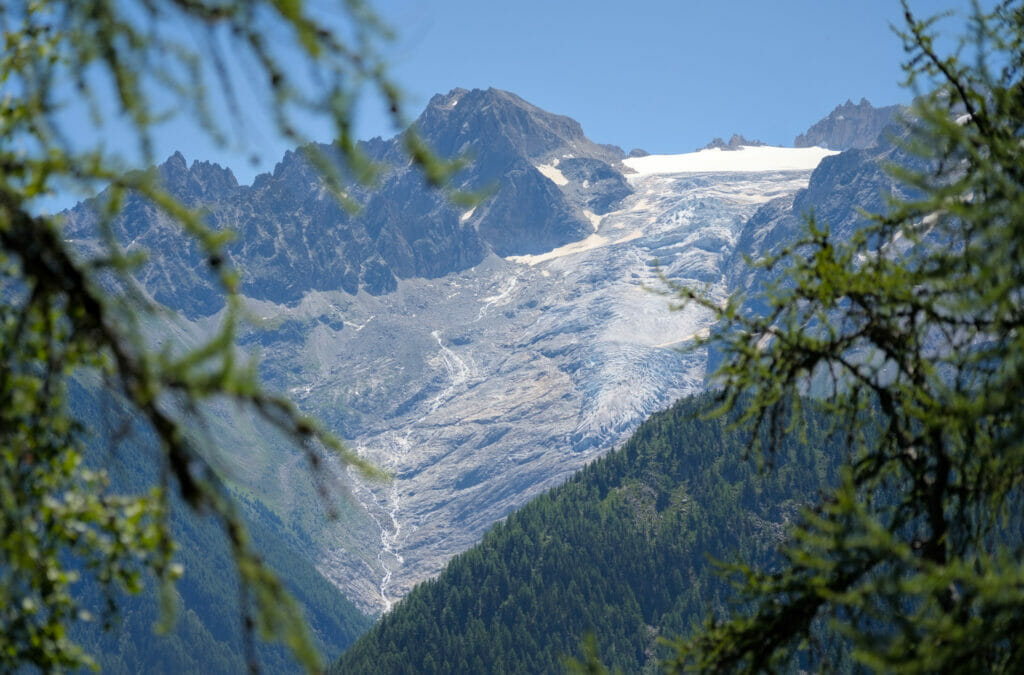
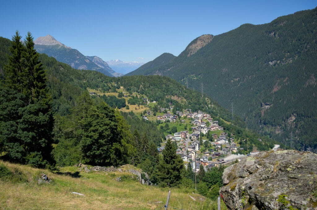
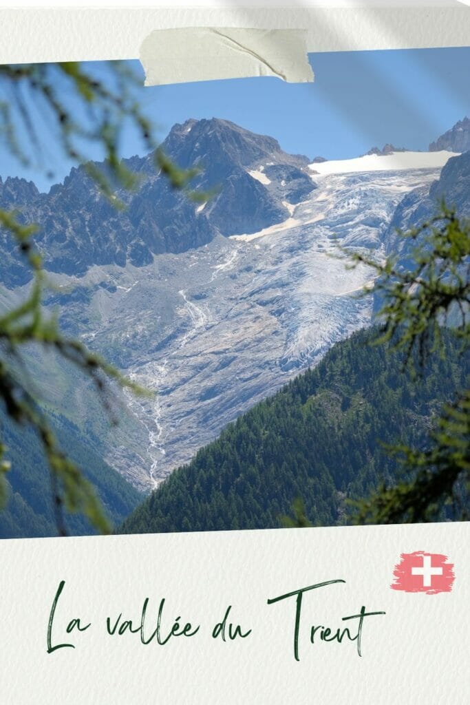
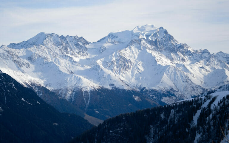
Although the stagecoaches have disappeared, there is still a magnificent architectural heritage in Finhaut! We admit it, these old buildings make us dream when we think about the coliving project… And what can we say about the absolutely incredible location of the village!? Wel...Nestled in the mountainside, Finhaut offers a magnificent view on the Trient valley, the glacier of the same name and the Mont-Blanc massif in the background. Pfiouuu... simply breathtaking!
If you're planning a trip to Switzerland or if you live here and wish to discover some new spots, don't miss our new ebook. Released in May 2025, this 75-page guide will help you prepare for your upcoming stay in Switzerland. We've compiled all our best tips and tricks for visiting our beloved little country without breaking the bank. You'll find advice on transportation, accommodations, where to shop, as well as a list of free activities and events throughout the seasons, along with our personal recommendations for hikes and must-see spots, and a selection of off-the-beaten-path itineraries (with estimated budgets). This ultra-complete guide also includes a fantastic interactive map featuring over 500 addresses and deals.

To learn more about the ebook and the interactive map, the introductory article is available here.
Departure from the village of Finhaut to the Fenestral alpine pasture
To start the walk, we leave the village of Finhaut by the top of the road to Léamon where we briefly join the road to Emosson. After a few meters along the road, we turn right in the direction of the local shooting range.
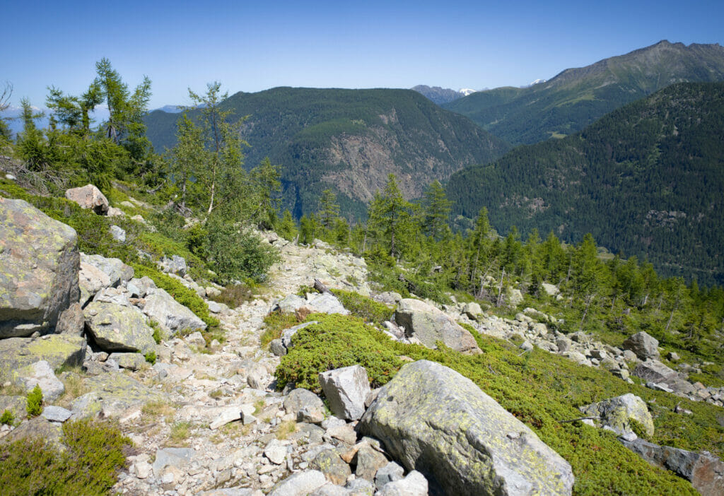
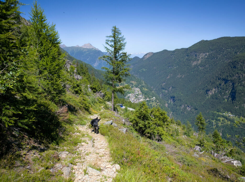
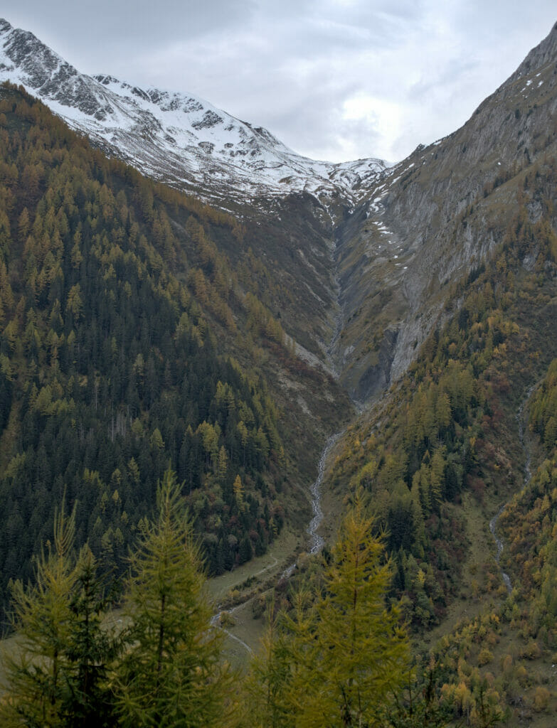
From this point, we enter the first "serious" part of the hike: 4 km and 400m of D+ to the Fenestral mountain pasture. The path is perfectly marked and twists and turns through the larch forest. Coming here in summer, we couldn't help but imagine this place in autumn, when the larch trees are in their orange color… this walk must be even more magical. #NowYouKnow
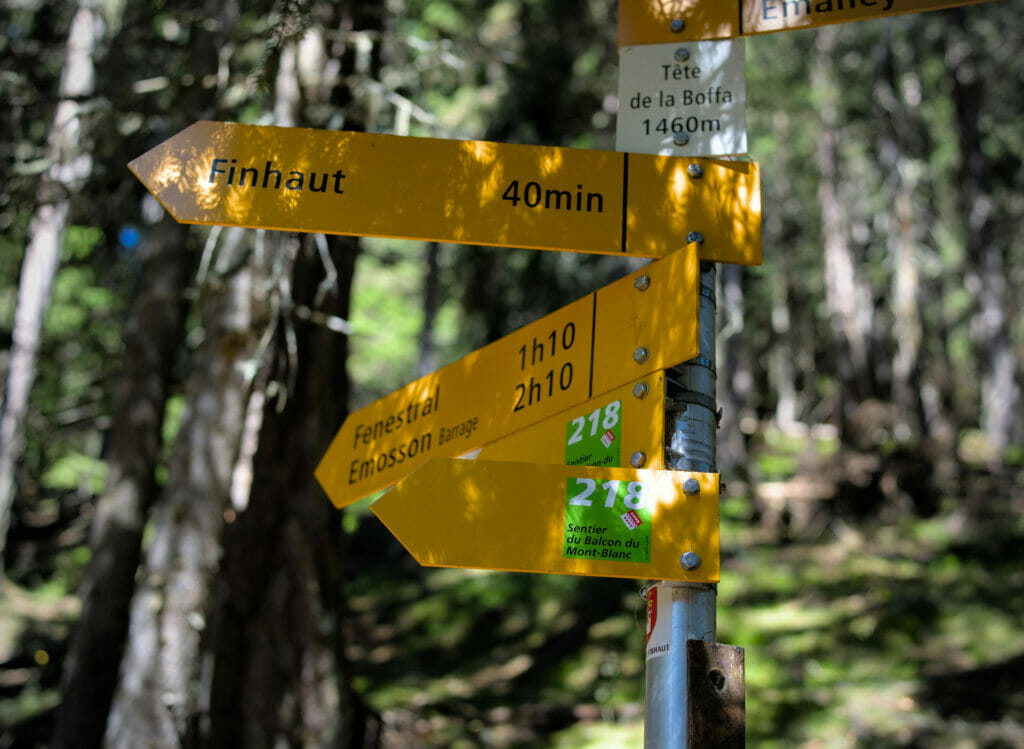
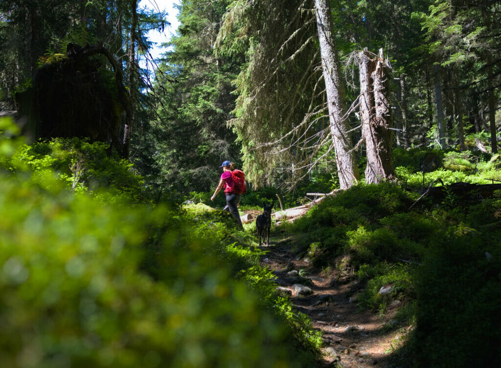
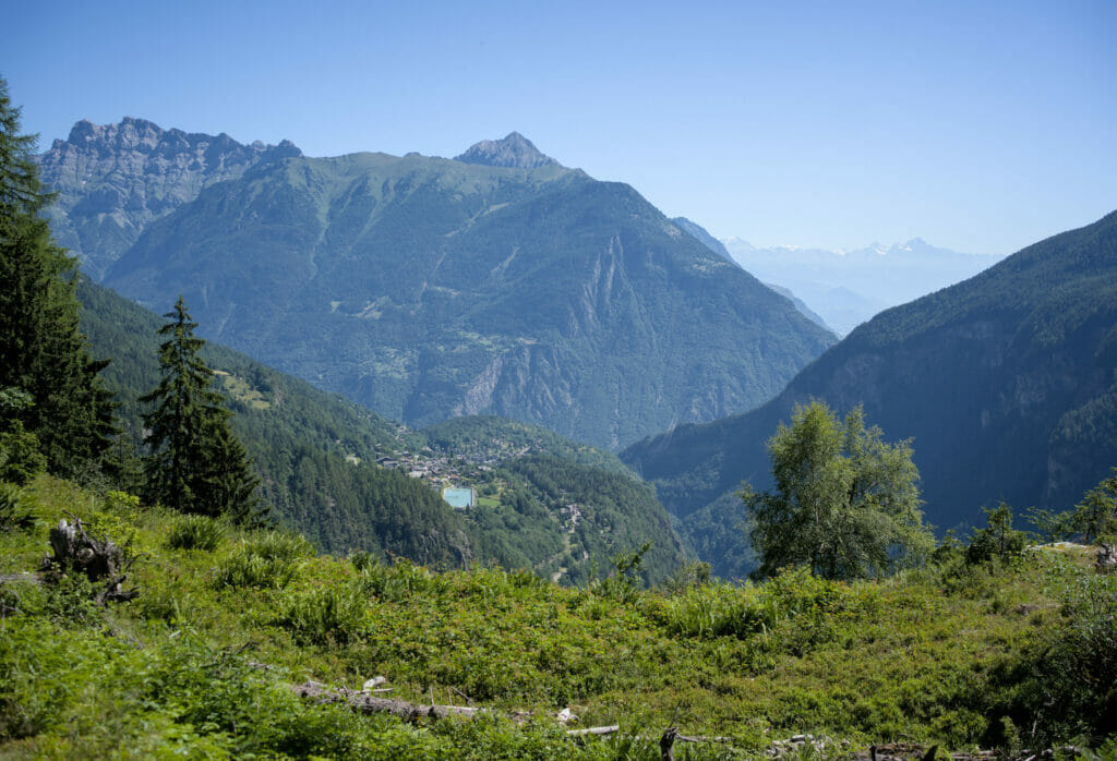
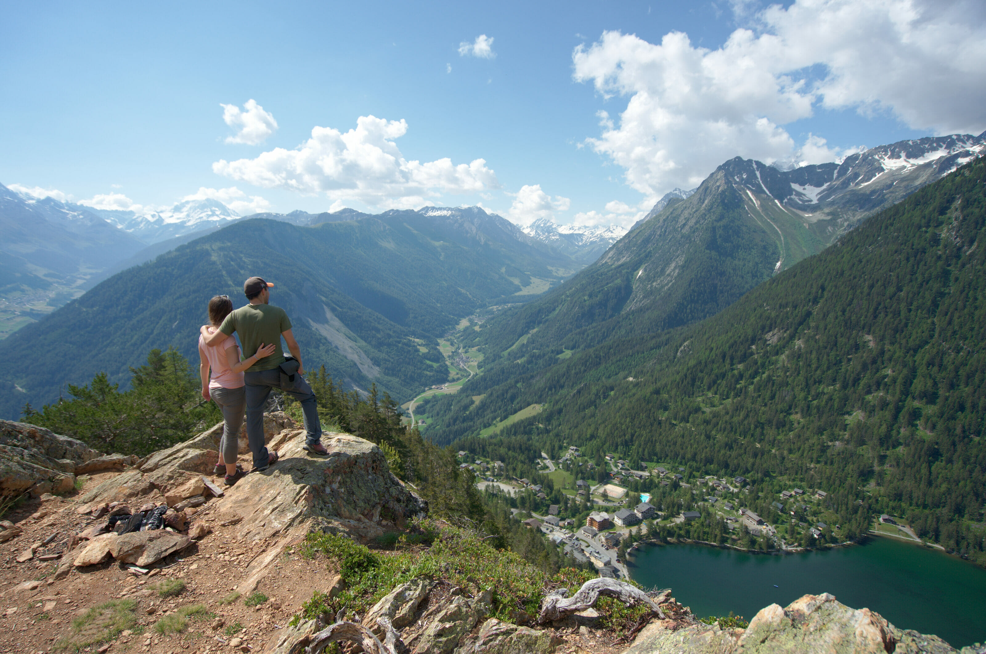
As a large part of the climb is done in the forest, there is not much of a "panoramic view" on this first part. Afterwards, it must be said that there are 2-3 places where you can enjoy the exceptional view on the Trient valley and especially the little resort of Les Marécottes which is 2 train stops down the valley from Finhaut.
Balcon du Mont Blanc: our hike from Finhaut to Emosson
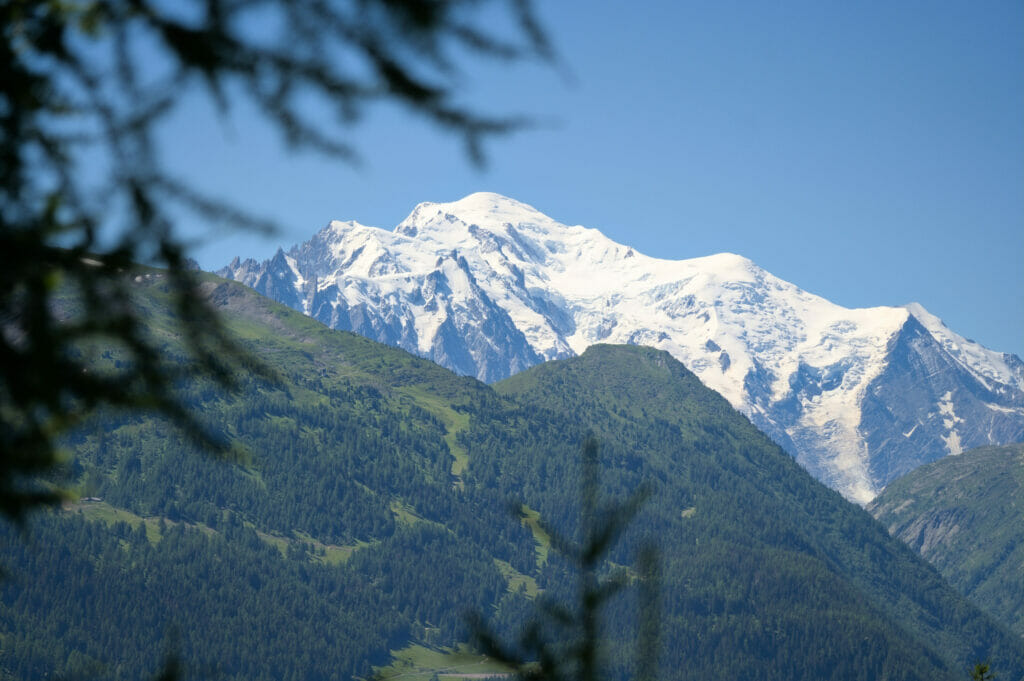
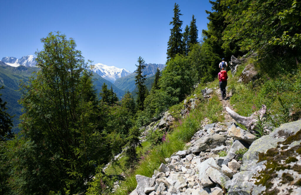
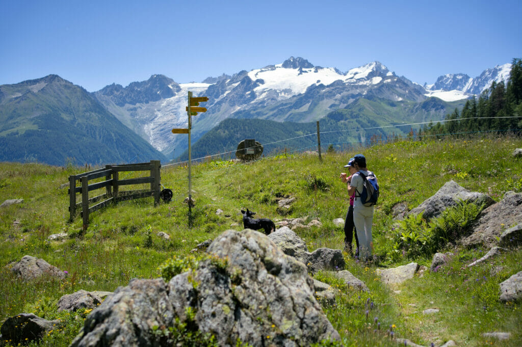
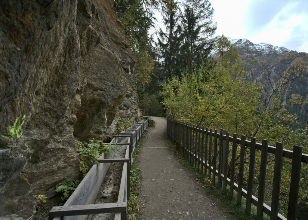
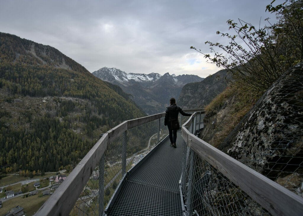
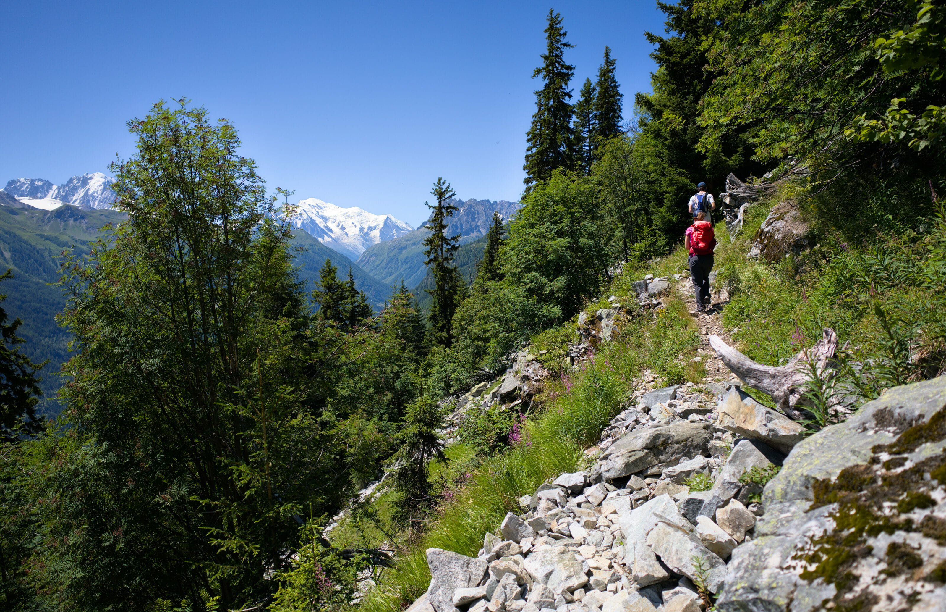
Once out of the forest, we arrive at the Fenestral mountain pasture. It is from this point that the most panoramic part of the hike begins. For about 3 km we cover the last 150m of difference in altitude following a balcony path. During almost the entire route, there is a breathtaking view of the Mont-Blanc.
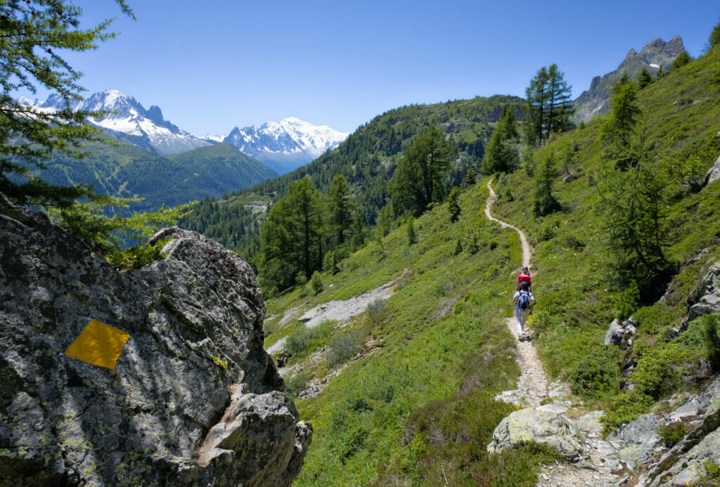
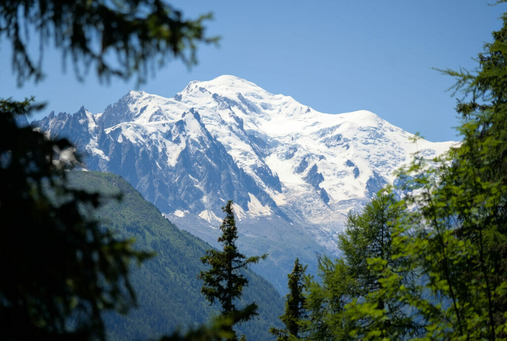
If there is strictly no particular difficulty to report on this section, it is still necessary to pay attention to where you put your feet… With the crazy view that we have, it is relatively easy to get distracted if you want my humble opinion 😉
The lake and the dam of Emosson
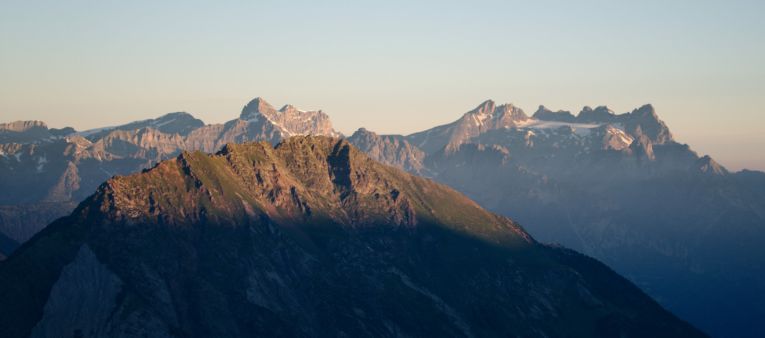
After a last little effort, the path brings us just above the big parking lot next to the Emosson lake. From this point of view, we can't see the lake yet, but we can see the restaurant as well as the Aiguille du Van and the Grand Perron, the small mountain chain that overhangs the lake and the dam and that marks the border between Switzerland and France.
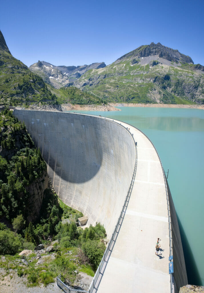
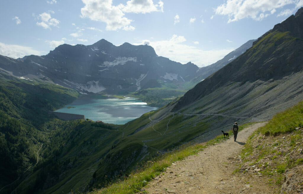
Only a few more meters to go and we arrive at the edge of the impressive Emosson lake. This place is known to be the second biggest artificial lake in Switzerland (the first one being the Grande-Dixence, a dam that we passed during our tour of the Val d'Hérens). 3% of the electricity produced in Switzerland comes from the two hydroelectric power plants located here.
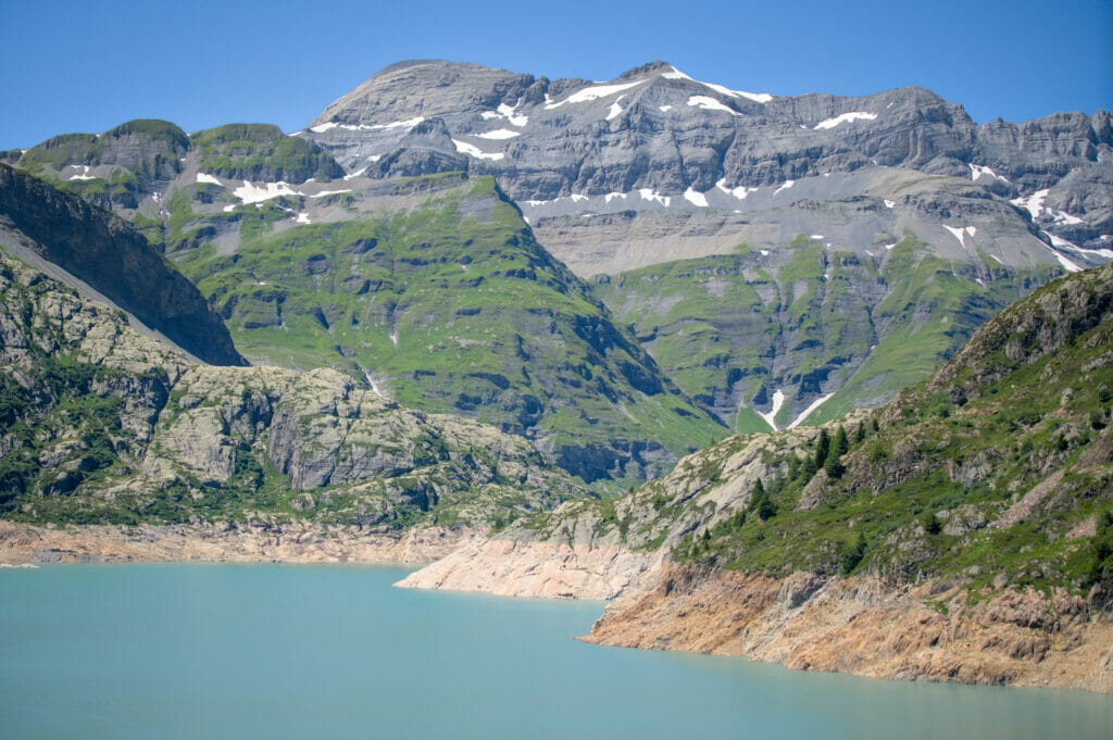
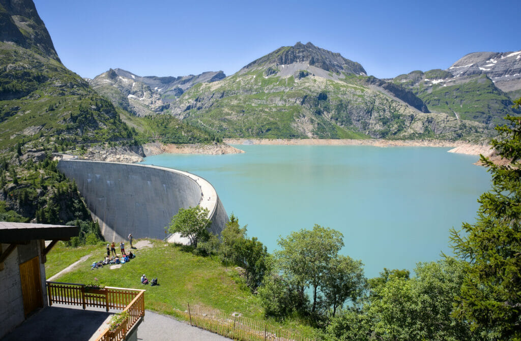
Arriving at the lake shore we went down to the level of the dam. From here, it is, in theory, possible to continue in the direction of the Vieux Emosson dam. For our part, we simply enjoyed a little the landscape before turning back.

While passing by the restaurant, we also saw the arrival station of the funicular "Vertic'Alp", the amusement park of Le Châtelard. It is in fact a succession of 3 installations on rails which allow to reach the lake of Emosson from the Châtelard (a funicular (one of the steepest in the world), a small panoramic train and to finish a mini-funicular. Due to financial problems, the installations were closed during the 2022 season… We admit we don't know if it will reopen, but we hope so (it would be a shame if existing facilities fell into disuse).
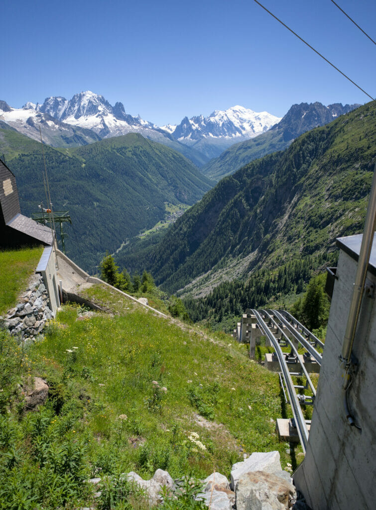
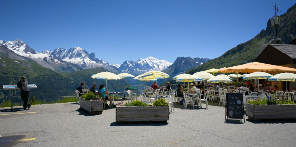
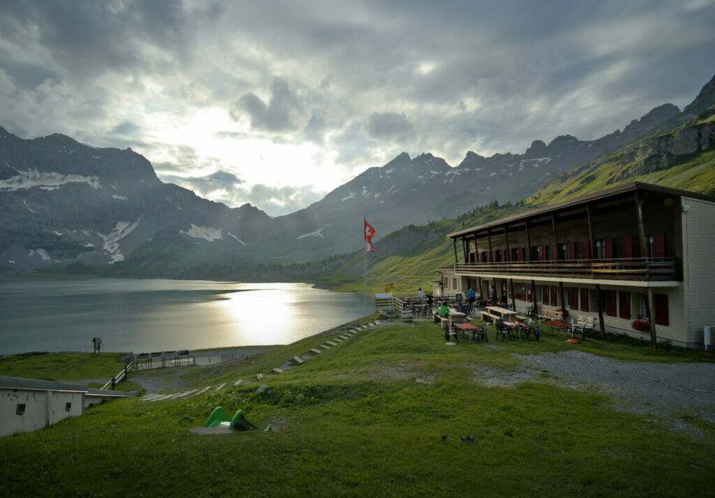
After, in spite of the closing of the lifts, the terrace of the restaurant was open and we will admit that it is quite difficult to get a better view for an afternoon coffe (or beer) 😉
Coming back to Finhaut by the hamlet of Clou
For the return there are several options:
- Return by the same route
- Take the bus that leaves from the dam and passes through Finhaut
- Go down by a more direct (and different) route
If you read us from time to time, you will have surely noticed that we tend to prefer loops (and shortening a hike by taking a bus is rarely an option). It is thus quite naturally that we decided on the third possibility.
Leaving the dam, we started by following the road for about 500 m to find the trail that goes down on the right. Note that it is quite possible to take the path we had taken on the way up and turn right at the first crossing (the small connecting path is clearly visible on the map below). Afterwards, the road to Emosson is quite wide and it is not what we would call a highway either, so following it for a few hundred meters did not bother us particularly.
Much more direct than on the outward journey, this itinerary takes us down towards Finhaut following a nice well-maintained path that cuts through the twists and turns of the road several times. Don't forget to turn around from time to time, because even if this itinerary is less "panoramic" than the one you did earlier, it still offers breathtaking views of the Mont-Blanc massif which is now in your back!
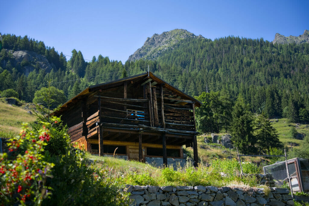
After 2 km, we arrive again on the road at the level of the hamlet of La Léchère. Here, you have to turn right in order to go down to the small group of chalets "le Clou" and then come back to Finhaut at the level of the imposing Mont Fleuri building.
This return route is much faster than the outward one. It took us less than 1h30 to cover the 5 km (and 700m of elevation loss).
Practical info: Map of the hike and how to get to Finhaut
To finish, here is a small summary of the practical information to start the hike:
- Start (and Finish): Finhaut, VS
- Distance: 14 km
- Elevation change: about 800m (+ and -)
- Walking time: it took us about 4h30 to do the whole loop (walking time, excluding breaks)
- Alternative: a bus runs between Finhaut and Emosson, it is thus quite possible to hike only one way. (either the ascent or the descent) and to take the bus for the other way. Little advice: if you can, we would favour the way up in order to enjoy the incredible view of the Mont-Blanc "in front of you" (if you do it on the way down you will have the massif in your back)
Map of the hike "Balcon du Mont-Blanc" from Finhaut to Emosson:
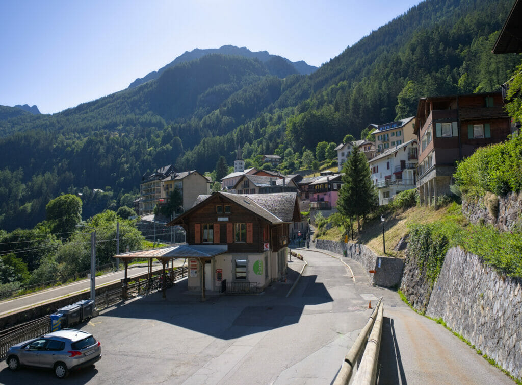
To come to Finhaut you have 2 options: by road (count 30-35 minutes from Martigny) or take the train! Finhaut is on the Mont-Blanc Express line and it's just so great to take the train (we did it several times in the last weeks). Our advice? You can park at the Vernayaz MC stop, the parking is free and from there it takes 27 minutes by train.
Are you planning to visit Switzerland by train? We recommend you to read our article which will allow you to compare the Swiss travel pass with the half-fare card. The article also includes 3 examples of train routes through Switzerland and the associated budget depending on the ticket you take.
If you prefer not to take a travel pass, but rather take advantage of the Supersaver tickets and day passes, then go to this post for all the details.
Other hikes to discover in the Trient valley
The Trient valley is a real gem for nature and outdoor lovers! We are far from having seen everything there is to see, but here are some other walks we recommend in the area (the ones we've done so far):
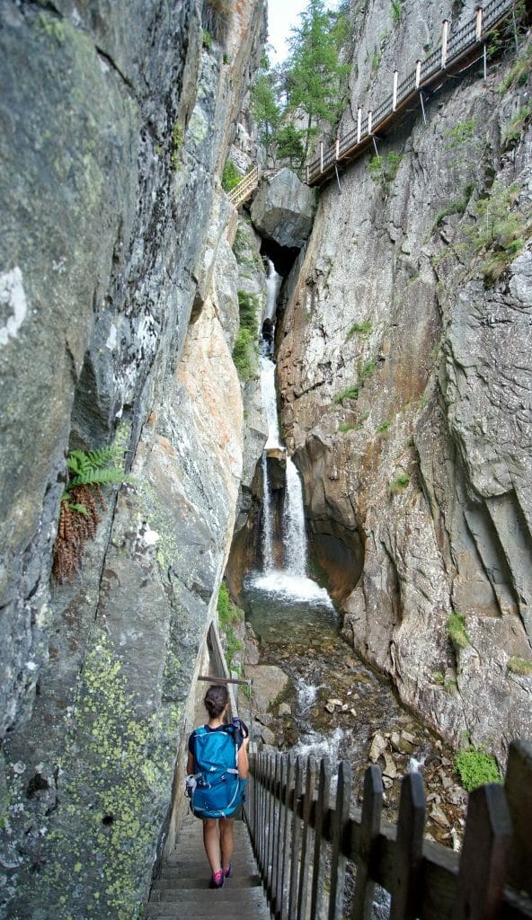
- The Dailley gorges, starting from Salvan. We talked about these gorges in our article "From Salvan to Champéry by the lake of Salanfe".
- The bisse du Trient: a great classic in the region! An easy hike accessible to the family. We presented this itinerary in our ebook "31 randos dans le Chablais romand" (French only).
- From the col de la Forclaz you could also hike up to the Mont de l'Arpille for a fantastic view of the Mont Blanc and the whole central Valais.
- The magnificent lake Salanfe and the tour of the Dents du Midi. Here also, we propose you an ebook version (EN version as well) to prepare your hike
- Looking for more ideas? Go to the homepage of the Trient valley

We hope you enjoyed this little trip to the Trient valley! And something tells me that we haven't finished telling you about this region 😉 Secretly, we hope to find a little paradise for our future coliving in the area (this valley or a neighboring one)… #WellKeppYouPosted
Pin it


Join the discussion