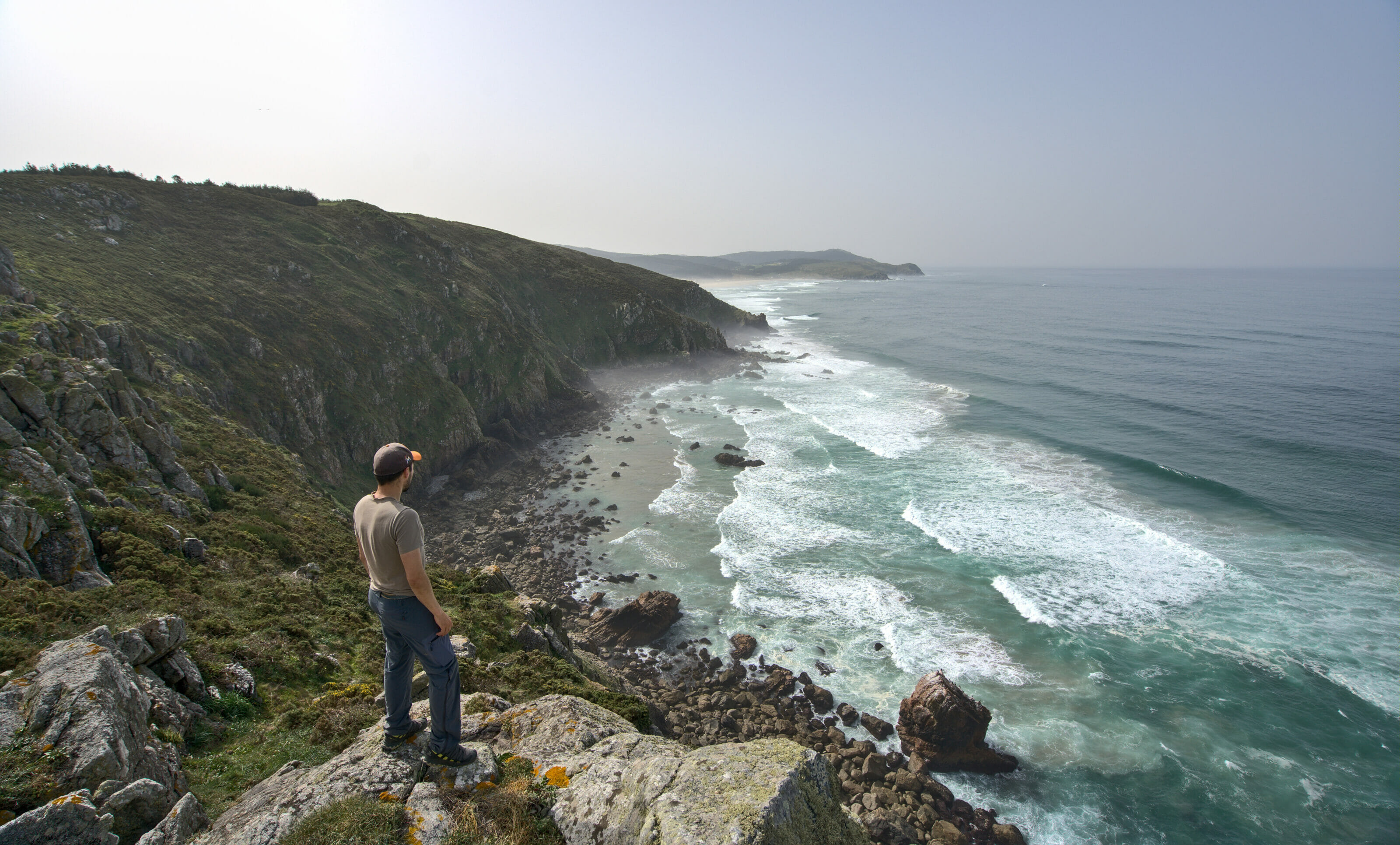
When you think of Galicia, you may imagine miles of coastline, cliffs that drop down to the Atlantic Ocean and its turbulent waters, the Way of St. James, Galician-style octopus (or other seafood) or “una estrella”, Galicia’s emblematic beer. Galicia is certainly a region that has a lot of similarities with Brittany, because of its landscapes, its Celtic culture or the strong personality of the Galician people (or its “humid” weather and water temperature… even if we heard that it is only a trick to scare tourists lol).

However, since we arrived in Galicia at the Anceu coliving we haven’t really had the chance to discover these facets of the region for 2 reasons:
- Out of 6 weeks here, I think we have had 3-4 weeks of rain… But well, we were warned that winter in Galicia is rather wet 😉
- Covid restrictions that prevent us from really moving around (at the moment, we can’t go out of our town… it’s rather limiting 😉 )
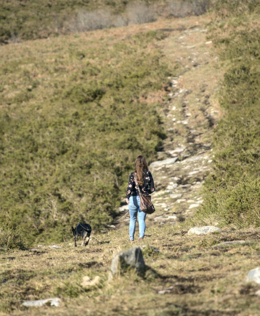
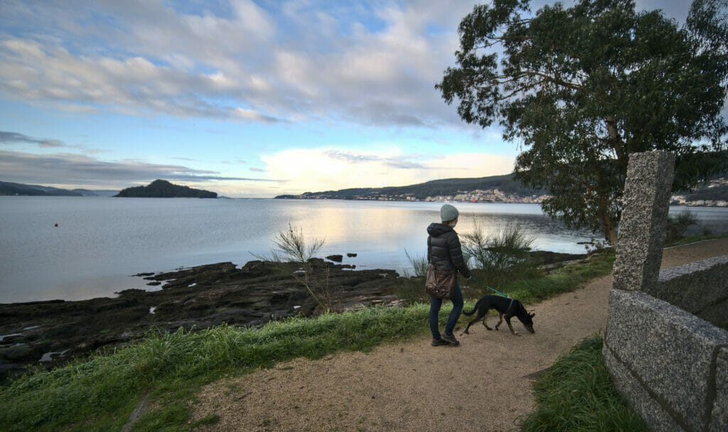
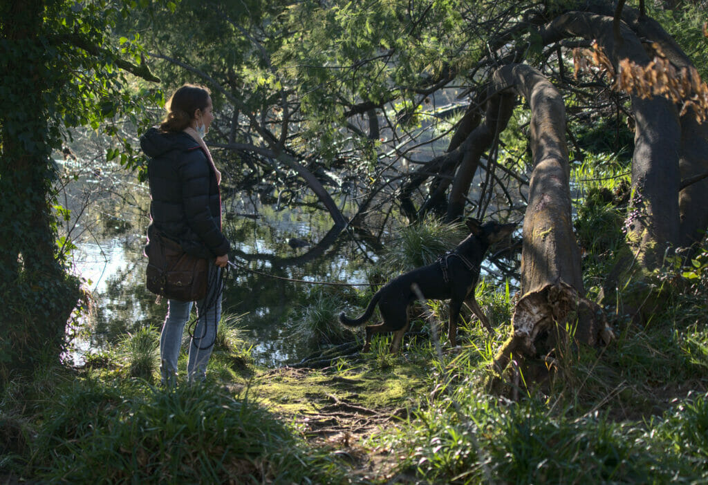
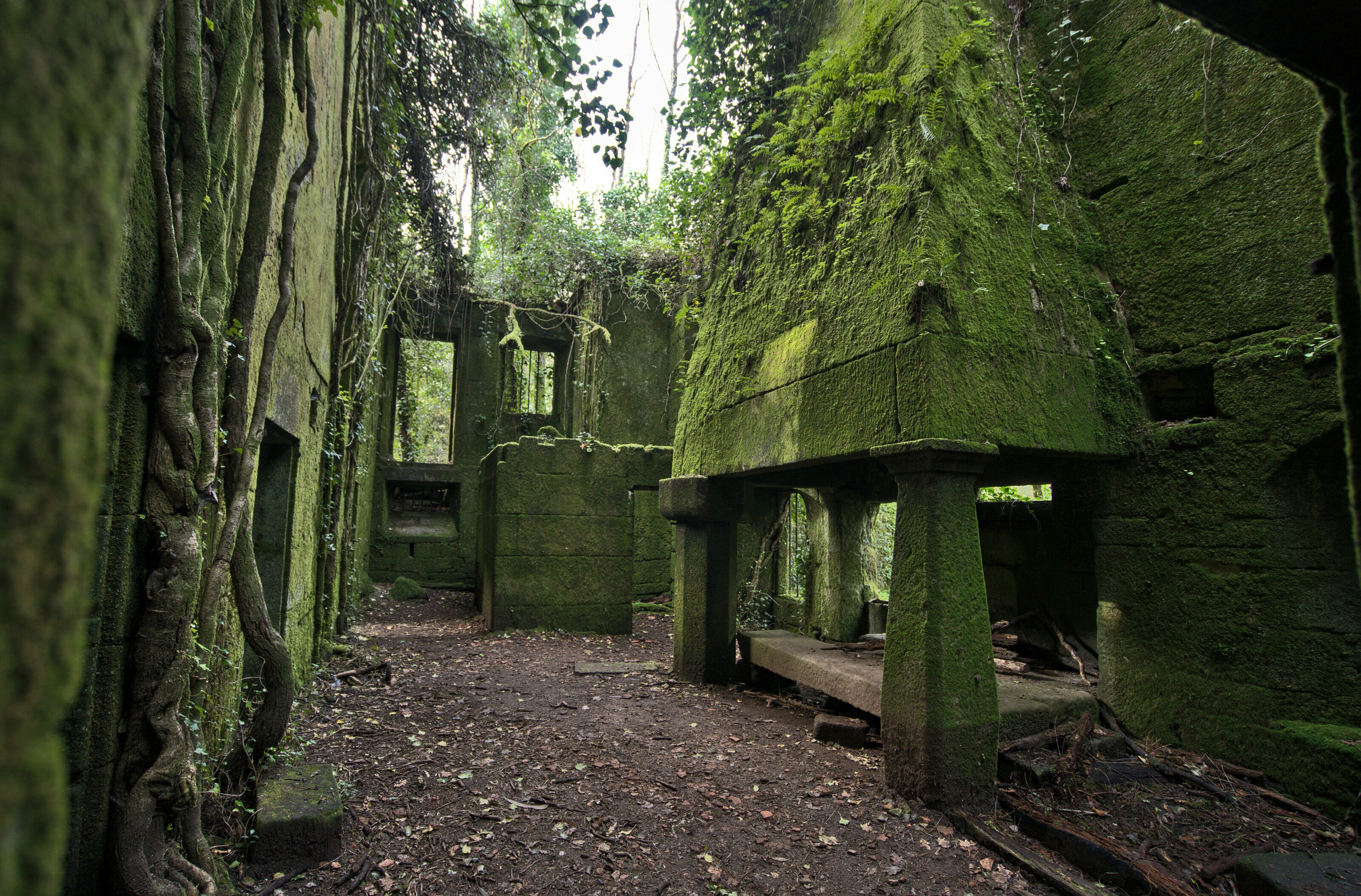
But well, you know us, we don’t let ourselves down for so little and we’re going to start by making you discover another facet of Galicia at the strength of your legs 😉 . We will show you the Galician countryside, its green forests, its overflowing rivers (literally and figuratively), its “horreos” and stone villages… In short, we take you on a hike through the Galician countryside.
After 2 trips of several months in Galicia, we did not only hike in the countryside around Pontevedra. We did dozens of other hikes that you will find in our other blog posts about Galicia.
Find information and hiking ideas in Galicia
So before we share with you our favorite hikes in the region so far, we will start with a little info point. Well let’s say that in Switzerland or in France we are a little bit spoiled… To prepare a hike, it is generally enough for us to look on line at a IGN or Swiss mobile map, to make some quick researches on the net… sometimes we even just follow the paths indicated on maps.me or alltrails and that’s it.
Well, in Galicia we tried this method and it did not end well in general 😉 . The trick is that sometimes the paths indicated on maps.me are impracticable or even non-existent, that the existing paths are not indicated on maps.me… Moreover if you search on the web there is generally very little information about hiking in Galicia (aside from the St. James way of course).
After talking with our Galician hosts, it seems that hiking is not really a popular activity around here and that the trails are not so well maintained. However, after a lot of research, we have found some good sources of information if like us you want to go hiking in Galicia:
- Wikiloc: This is the platform where we found the most suggestions for hikes in Galicia. You will have to sort a lot and read the comments (in Spanish 😉 ) to not find yourself on a bad hike… But overall there is good information. We particularly appreciated the itineraries of this person on Wikiloc.
- GR (long distance hiking) and PR-G (short distance trails that take 1 day): There is still a list of trails in Galicia that are maintained. You will find all these hikes on a map here or you can download the mobile app there.
One last important note… if like us you are hiking in Galicia in winter, be aware that with the rain the level of rivers and streams can rise significantly. Several times we have found ourselves on paths that have turned into streams, so make sure you have waterproof hiking shoes 😉
To get to the different starting points of the hikes presented below, you will need a vehicle (no or little public transportation at these locations). If you are not traveling in Galicia with your own vehicle, we recommend that you take a look at the rentalcars comparison tool to rent a car at the best price.
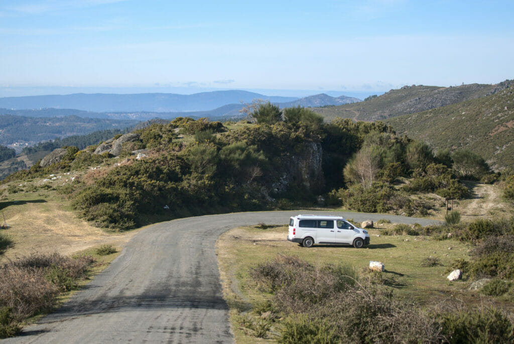
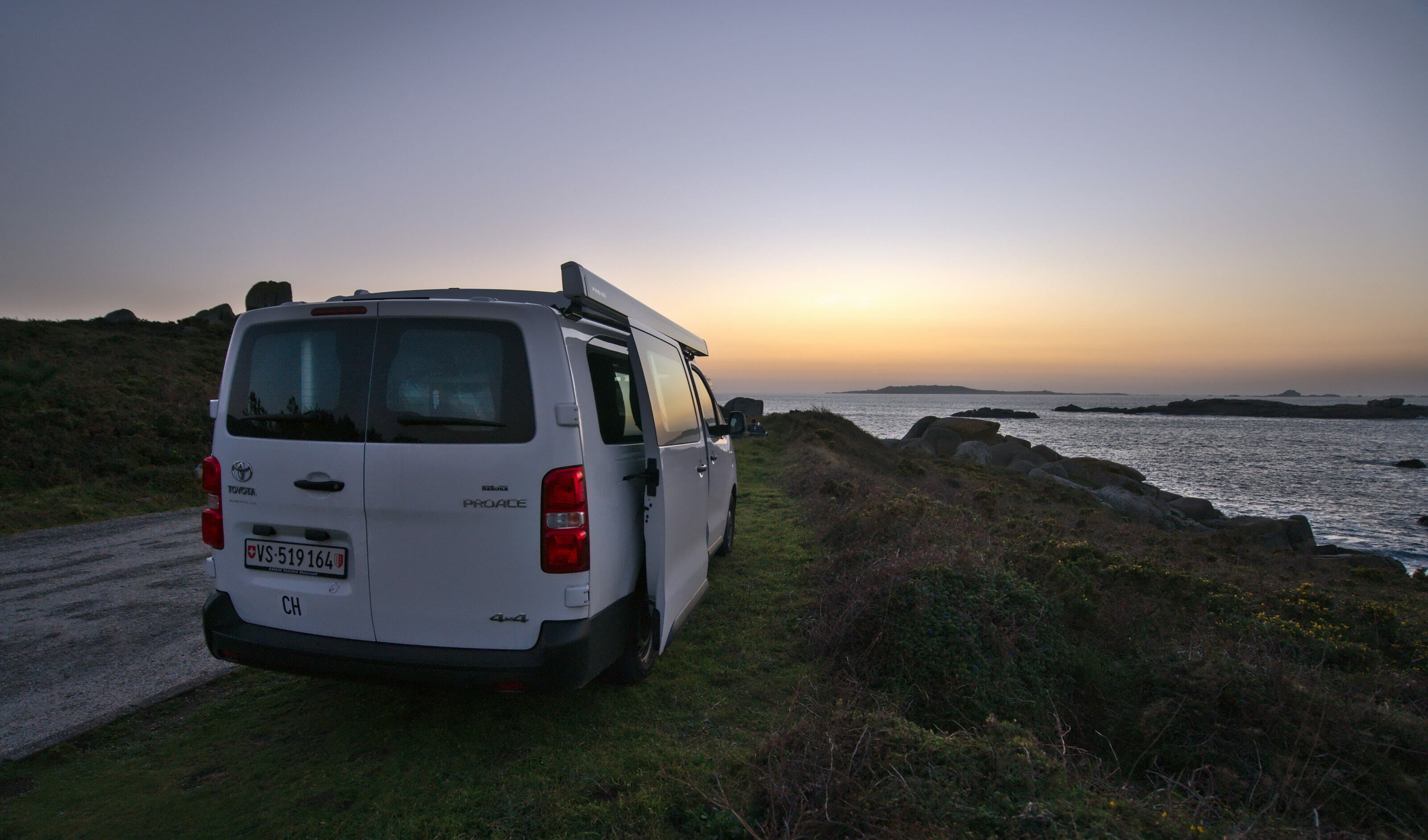
If you’d rather explore Galicia with a campervan then you can take a look on Yescapa. This website allows you to rent vans and campers from people living in Galicia (with all insurance included).
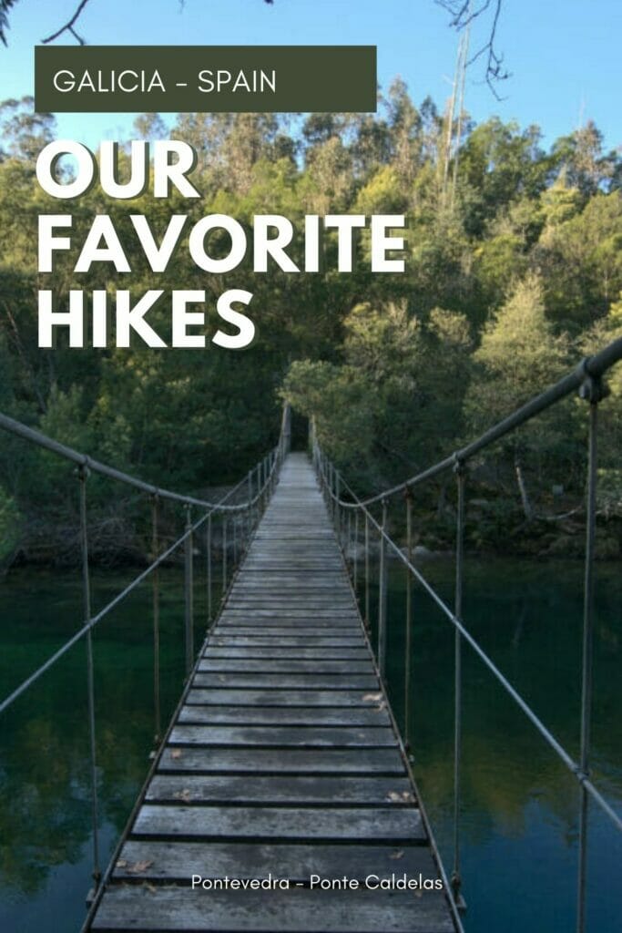
Our favorite hikes in Galicia around Pontevedra
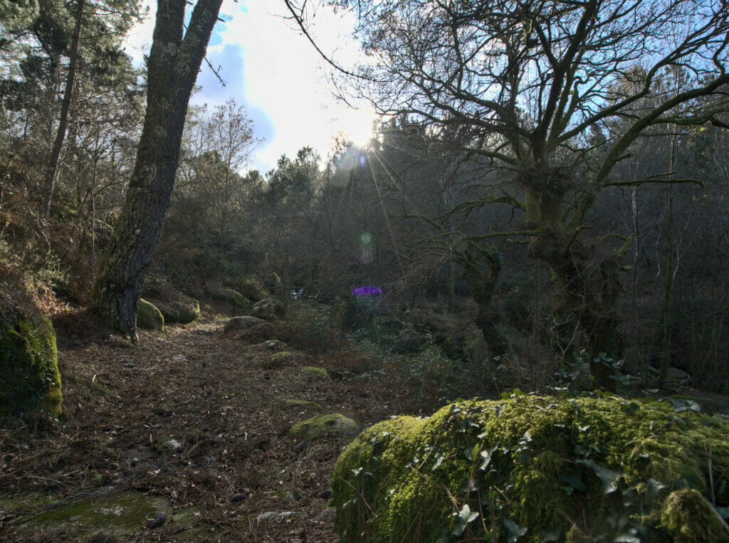
Let’s get down to business! Here are our favorite hikes in the Galician countryside. Please note that this list is provisional and that we will probably add more as we discover new ones.
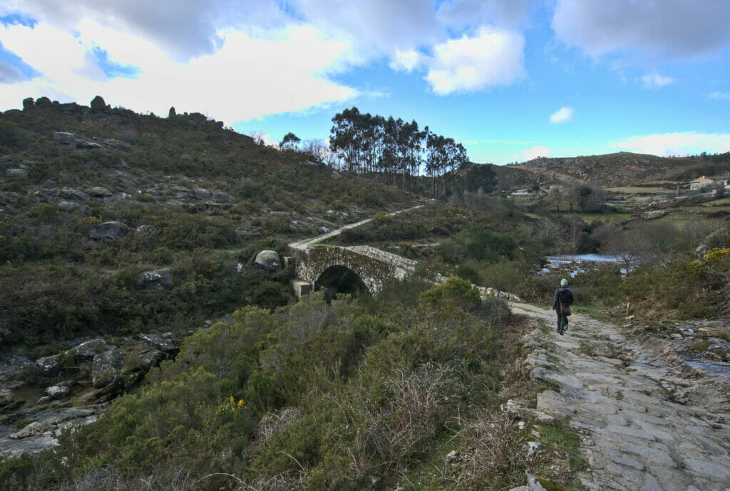
The sendeiro Azul of the rio Verdugo
- Distance: 8.8kms
- Denivelation: maybe 200m… it’s quite flat
- Difficulty: easy
- Duration: 2-3h
- Start: parking in the village of Ponte Caldelas on the banks of the Rio Verdugo (follow the signs sendeiro Azul)
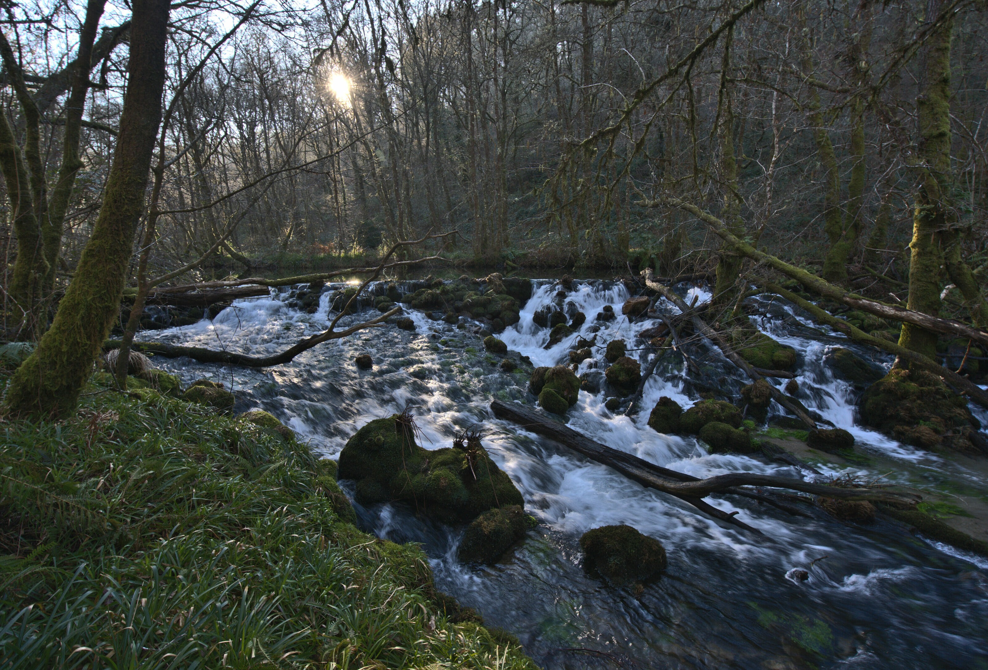
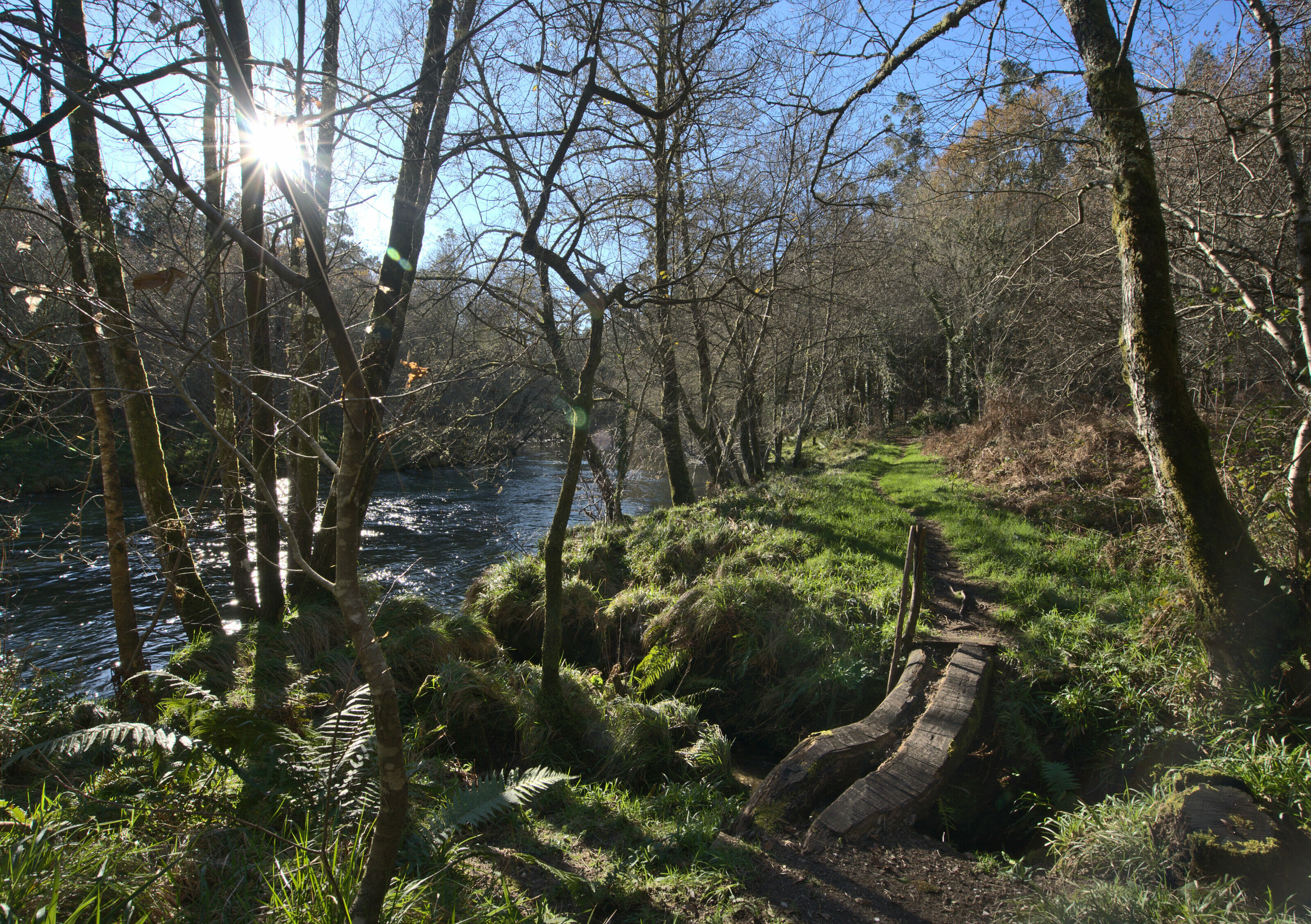
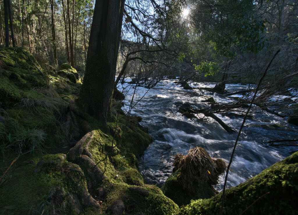
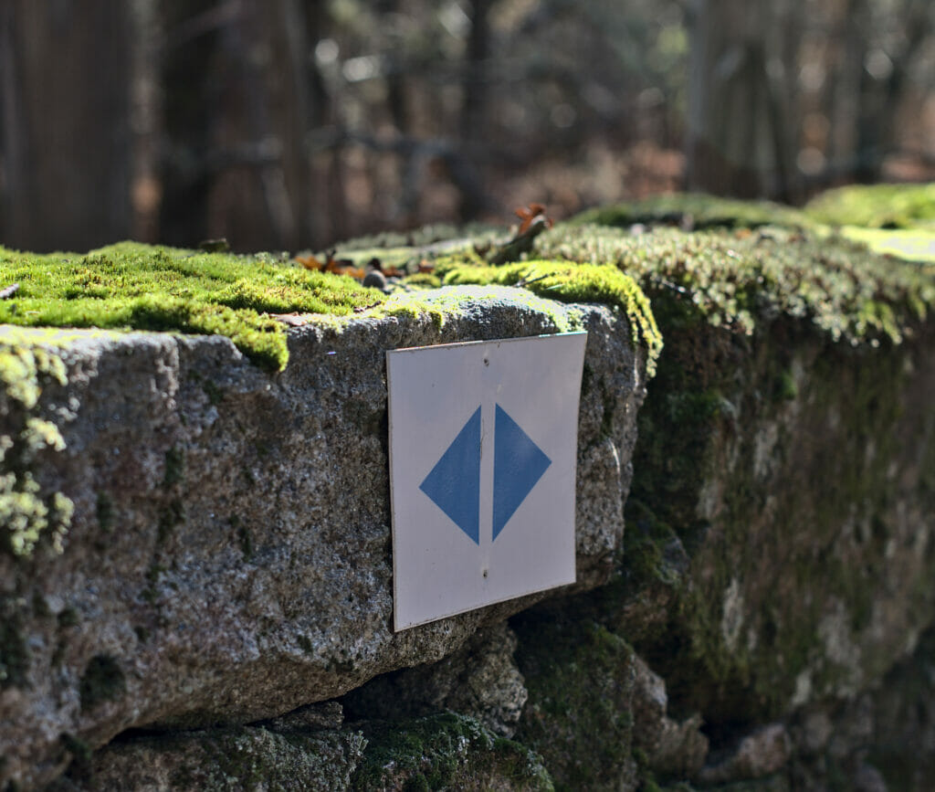
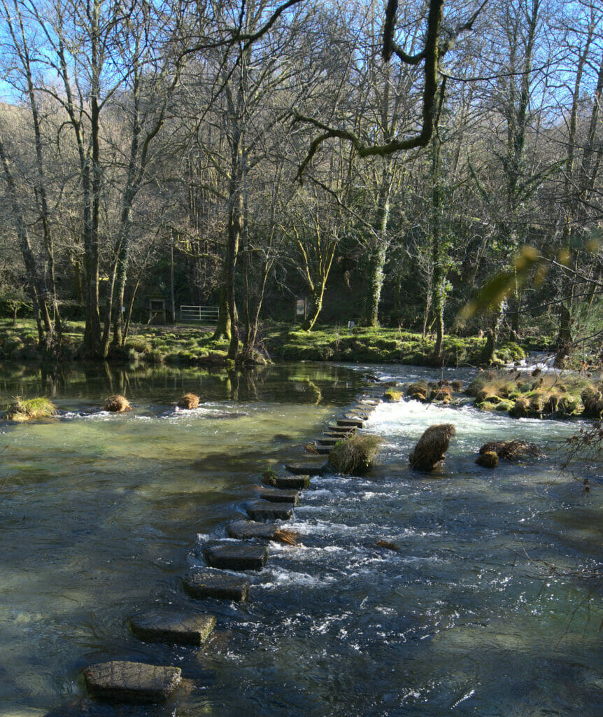
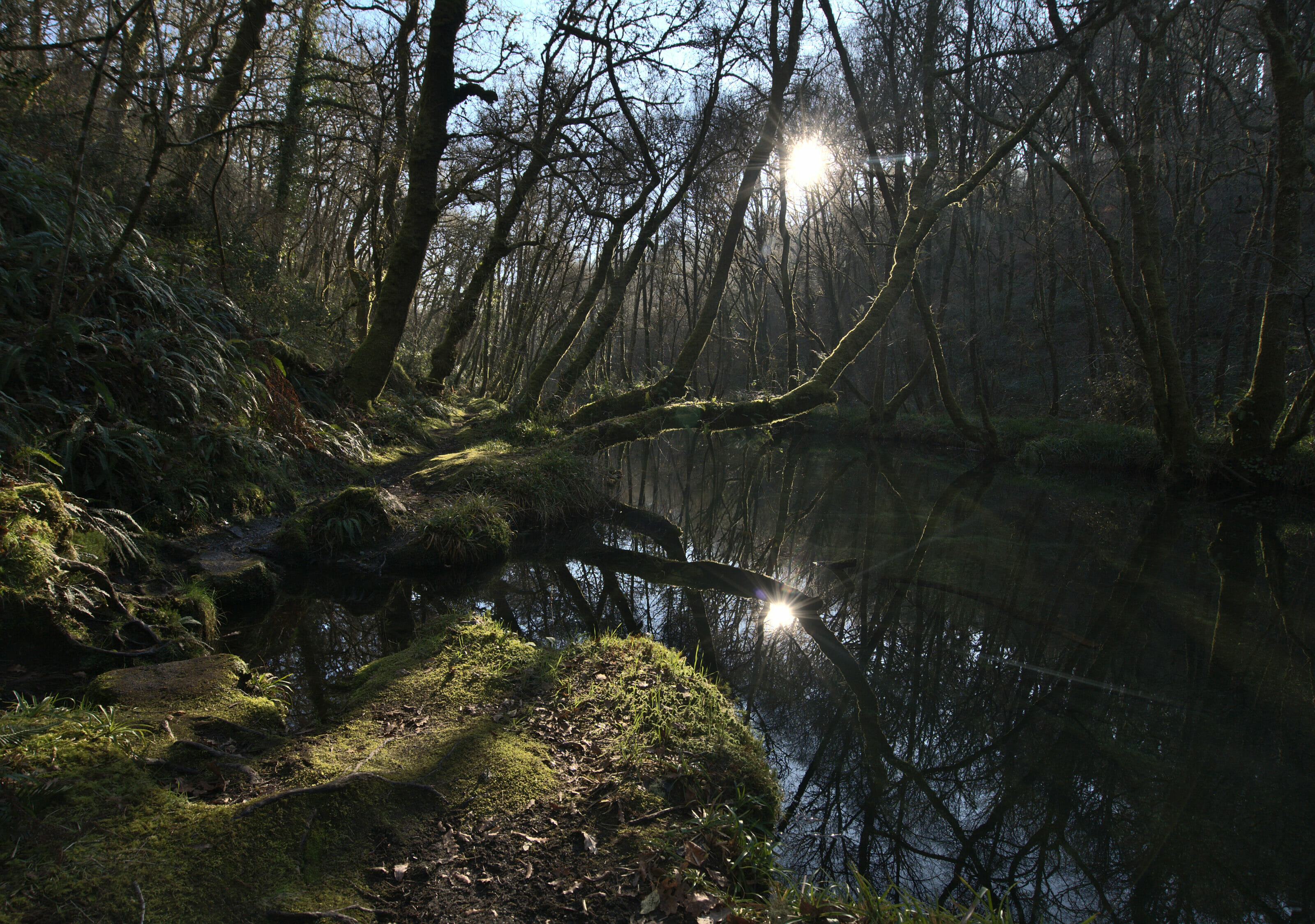
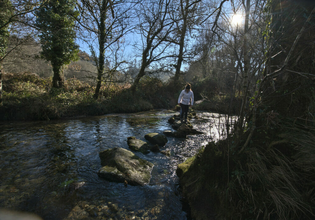
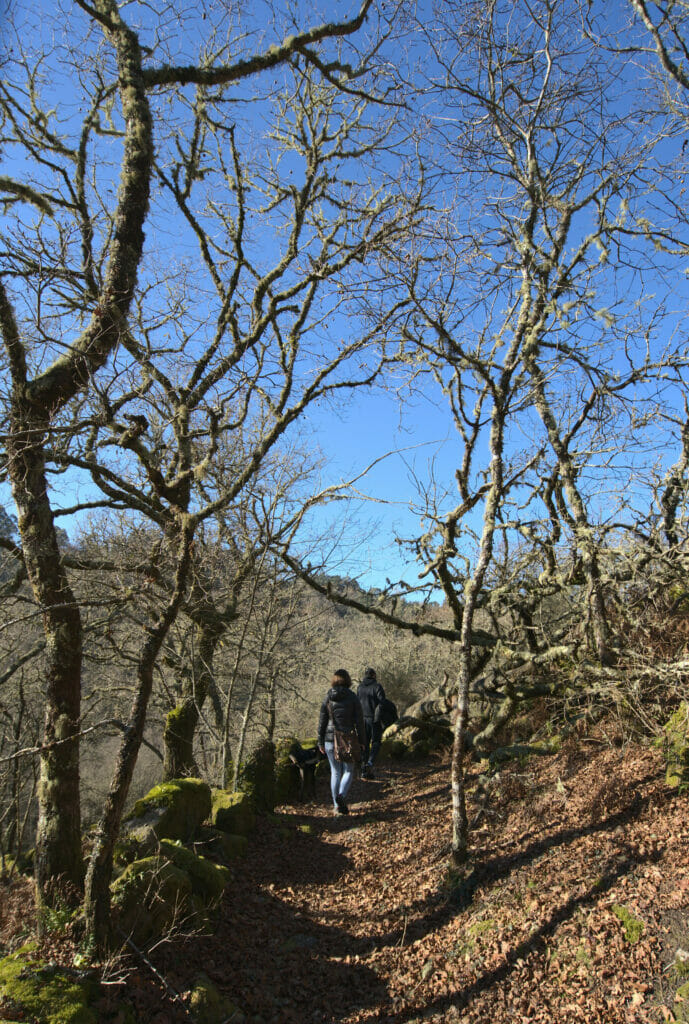
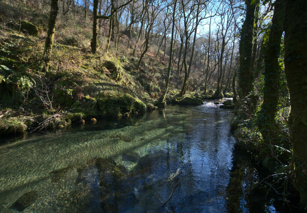
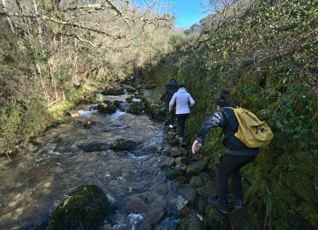
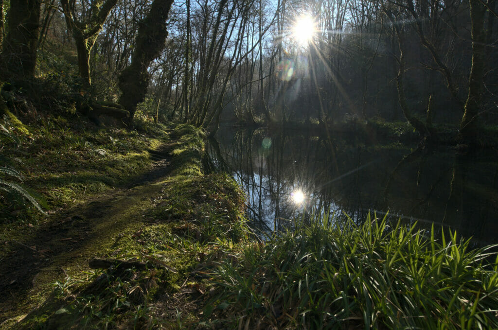
The blue path of the Verdugo river is a very nice hike of 8-9 kms along the river from the village of Ponte Caldelas. The beginning of the hike is very well laid out up to a canopy where we follow the path that continues along the river. At the first fork, leave the river bank and go up into the forest on the left following the blue arrows that indicate the path to follow. When you reach a big sign, this is where the beginning of the loop is (see map above) and you can take either left or right.
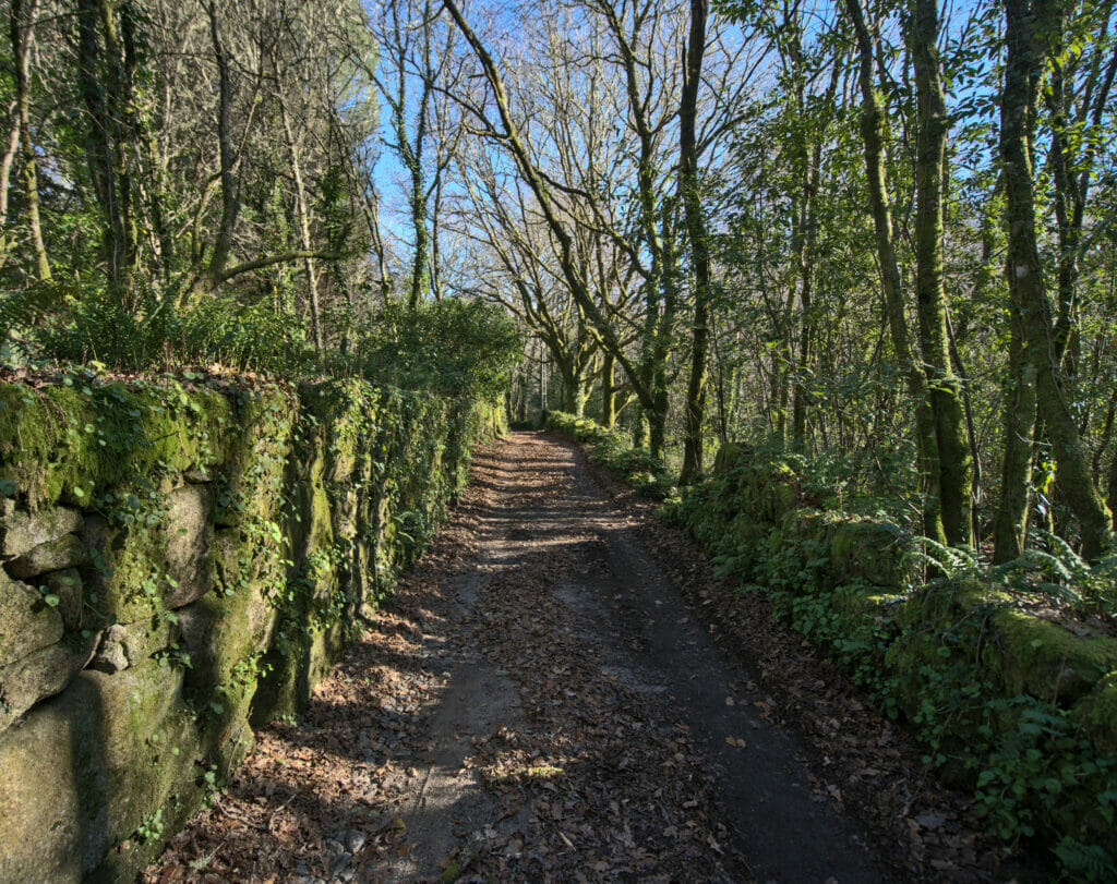
On the left, the path goes into the forest along small stone walls covered with moss. We reach the river at the farthest point that we have to cross on small stones (see pictures)… In winter, with the rain and the water level, you may not be able to cross and do the part of the path that is on the other side of the river (in which case you can go along the river on the same side). After a beautiful part along the rio and its beautiful green colors, you will find a crossing again and return to the departure by the same path.
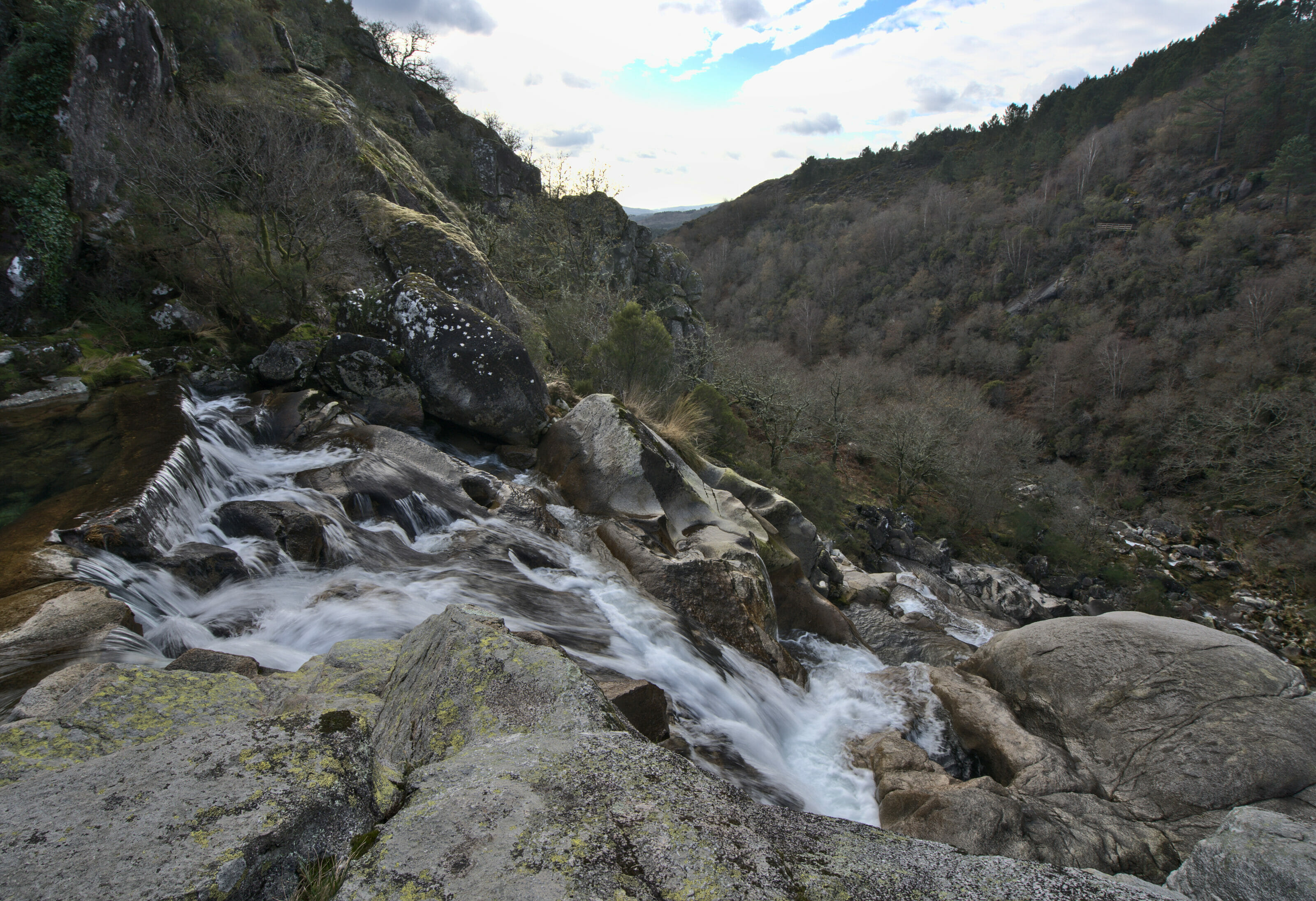
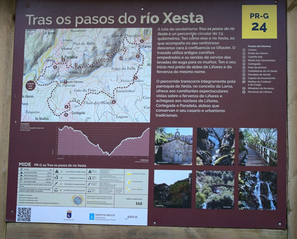
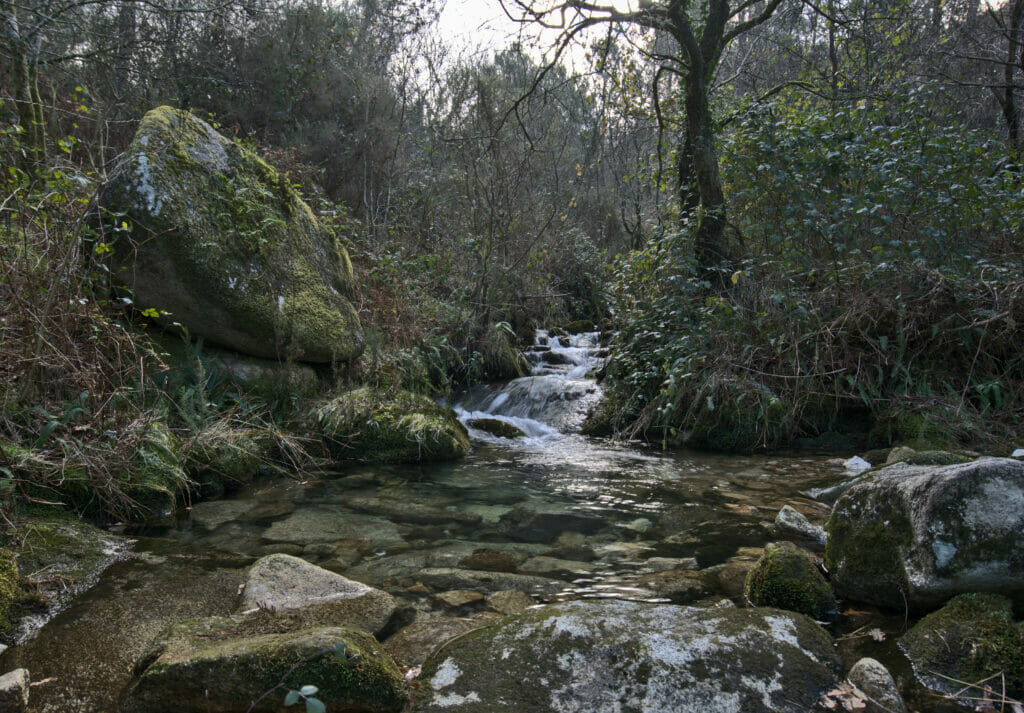
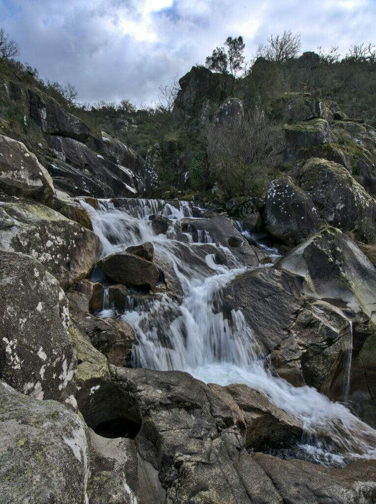
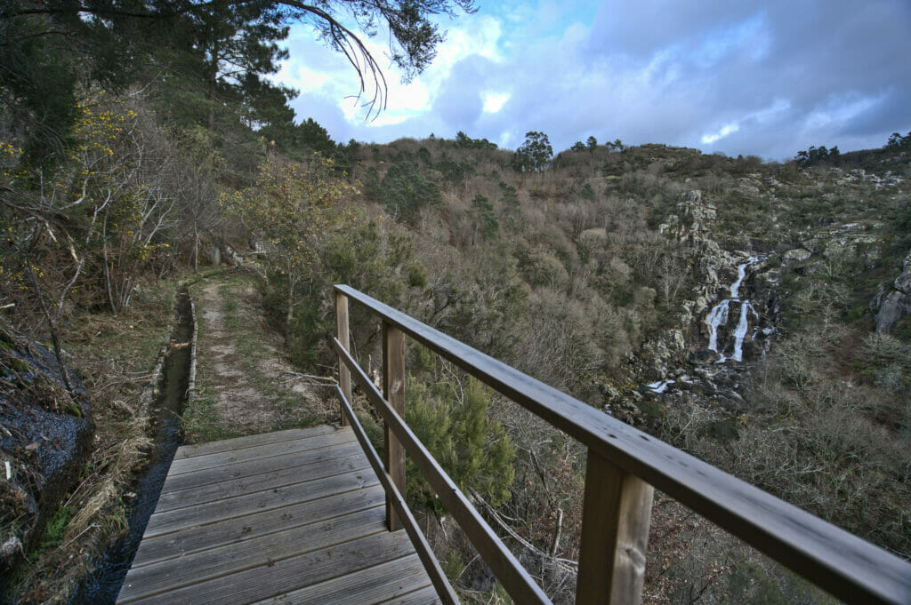
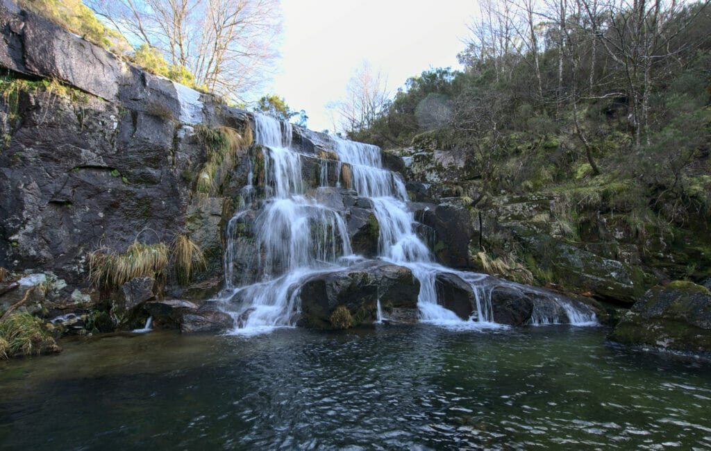
The rio Xesta and the Linares waterfall (PR-G 24)
- Distance: 8.1kms
- Denivelation: +- 300m
- Difficulty: easy
- Duration: 2-3h
- Start: Parking of the waterfall in the small village of Linares or at the bridge that crosses the river just before the village of Paradela (middle of the hike on the map at point 1).
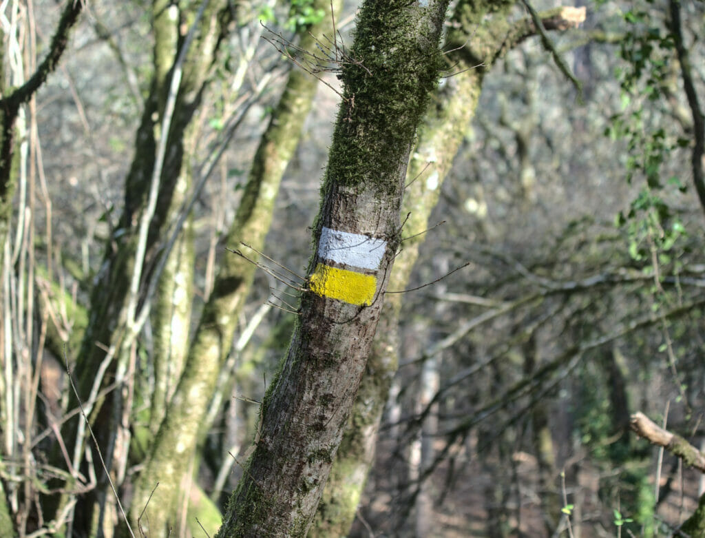
This hike is a nice loop around the river Xesta that starts either from the village of Linares or from the bridge indicated at the No1 on the map. On our side we left from the bridge which is easier to access by car. The path is well indicated with yellow and white markings and very well signposted all along.
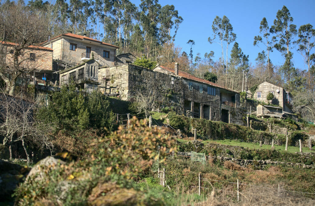
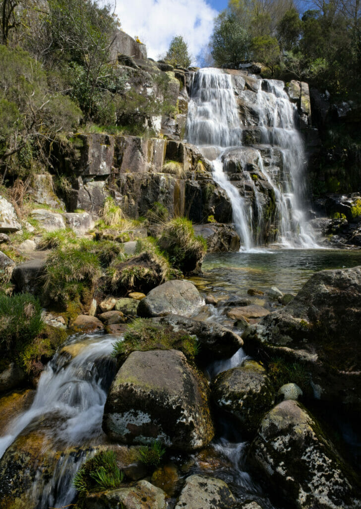
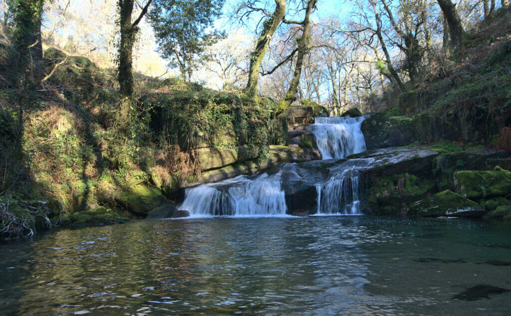
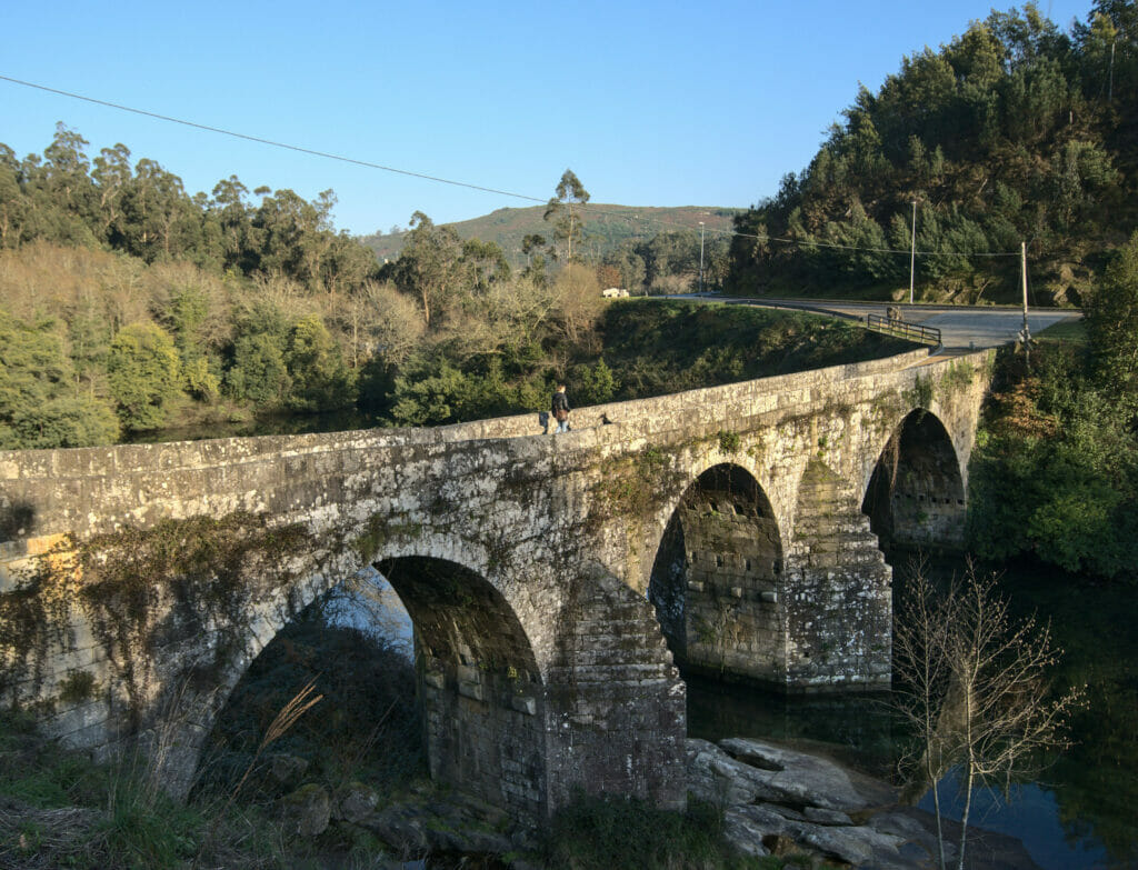
This walk is very varied and you can admire everything that makes the Galician countryside so beautiful. One passes in particular by 2 small villages where one can observe many horreos (small stone constructions built on columns which were formerly used to store cereals). One also passes there several forests and rivers, a pretty stone bridge before the village of Linares. But the highlight of this hike is without a doubt the Linares waterfall that can be observed through footbridges. The path then continues along the water to go down to the bridge from where we started.
La ruta dos Chozos de “A Laxe”
- Distance: 10.7 kms
- Denivelation: +- 400m
- Difficulty: easy-medium
- Duration: 3h
- Start: Parking of the area recreativa de A Airoa (No 1 on the map)
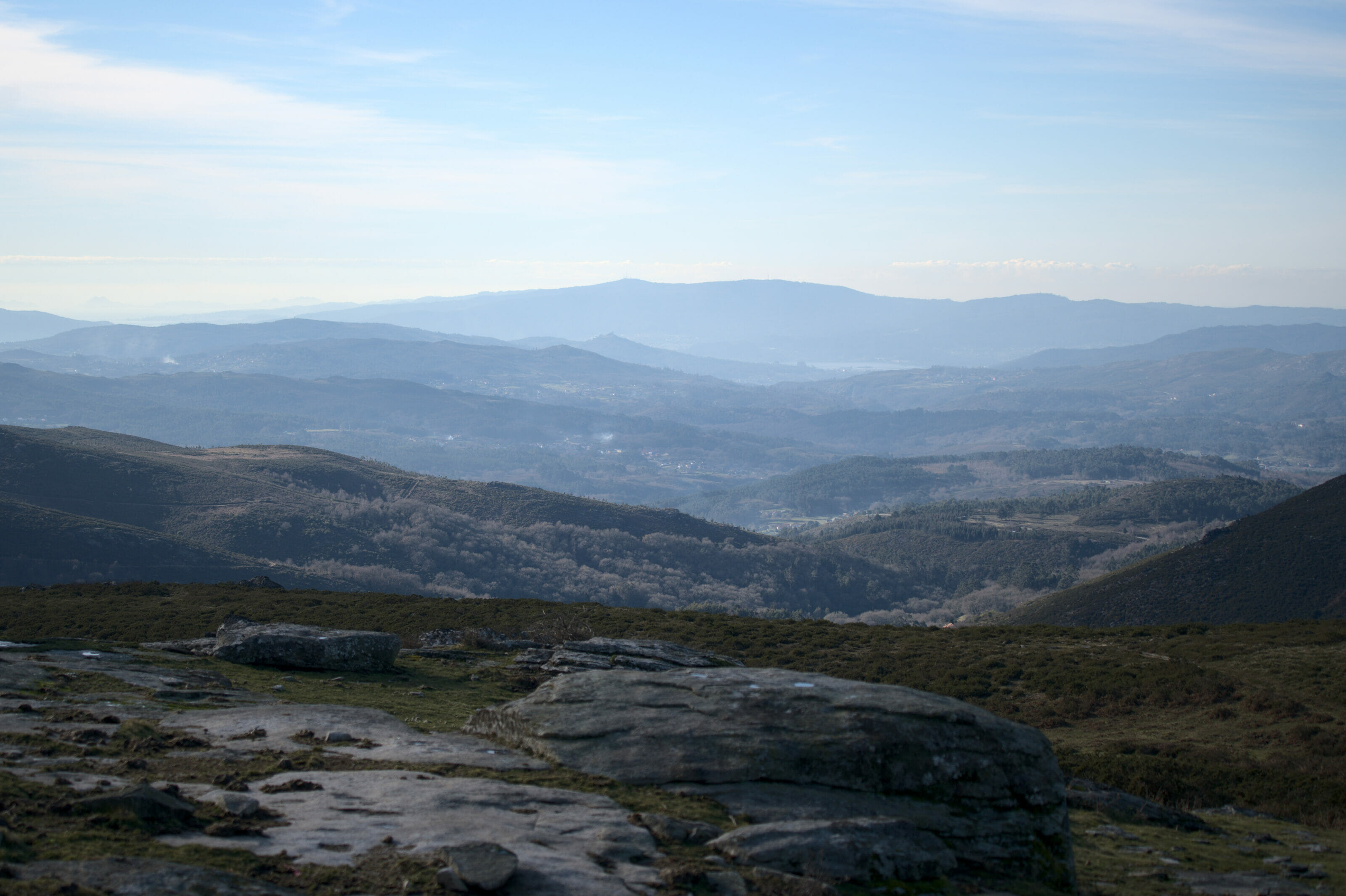
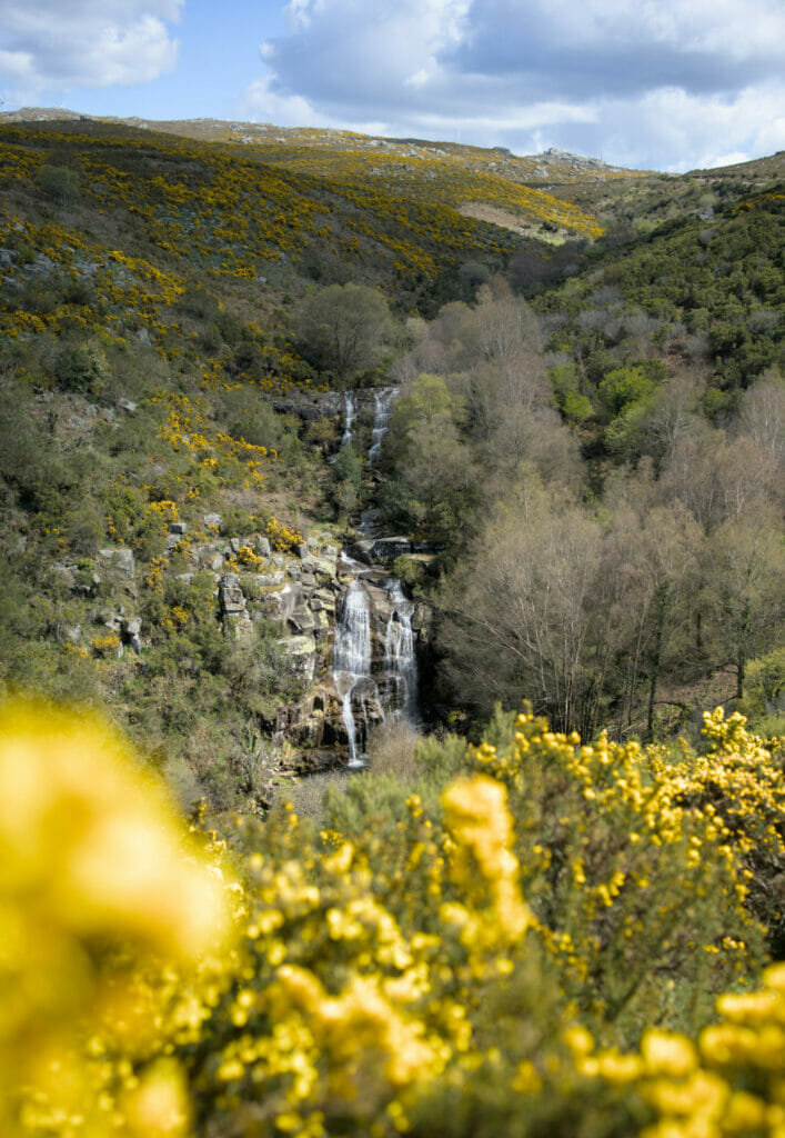
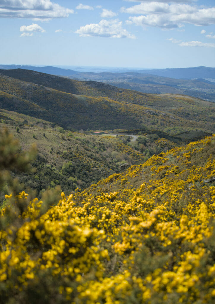
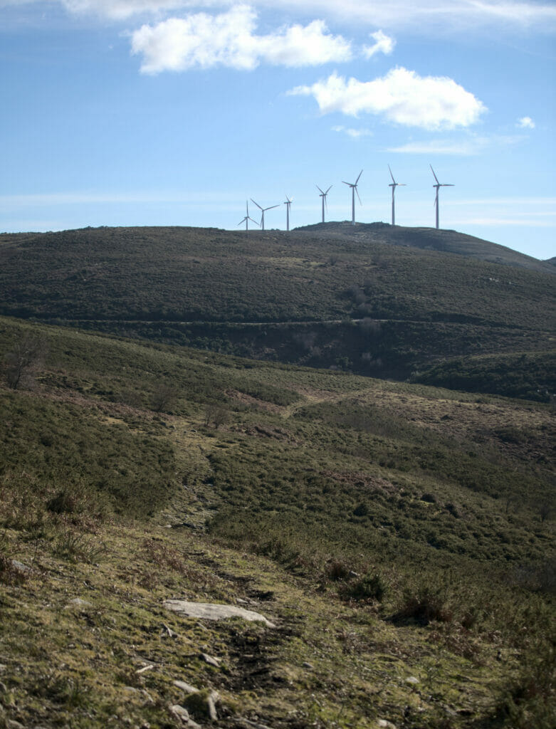
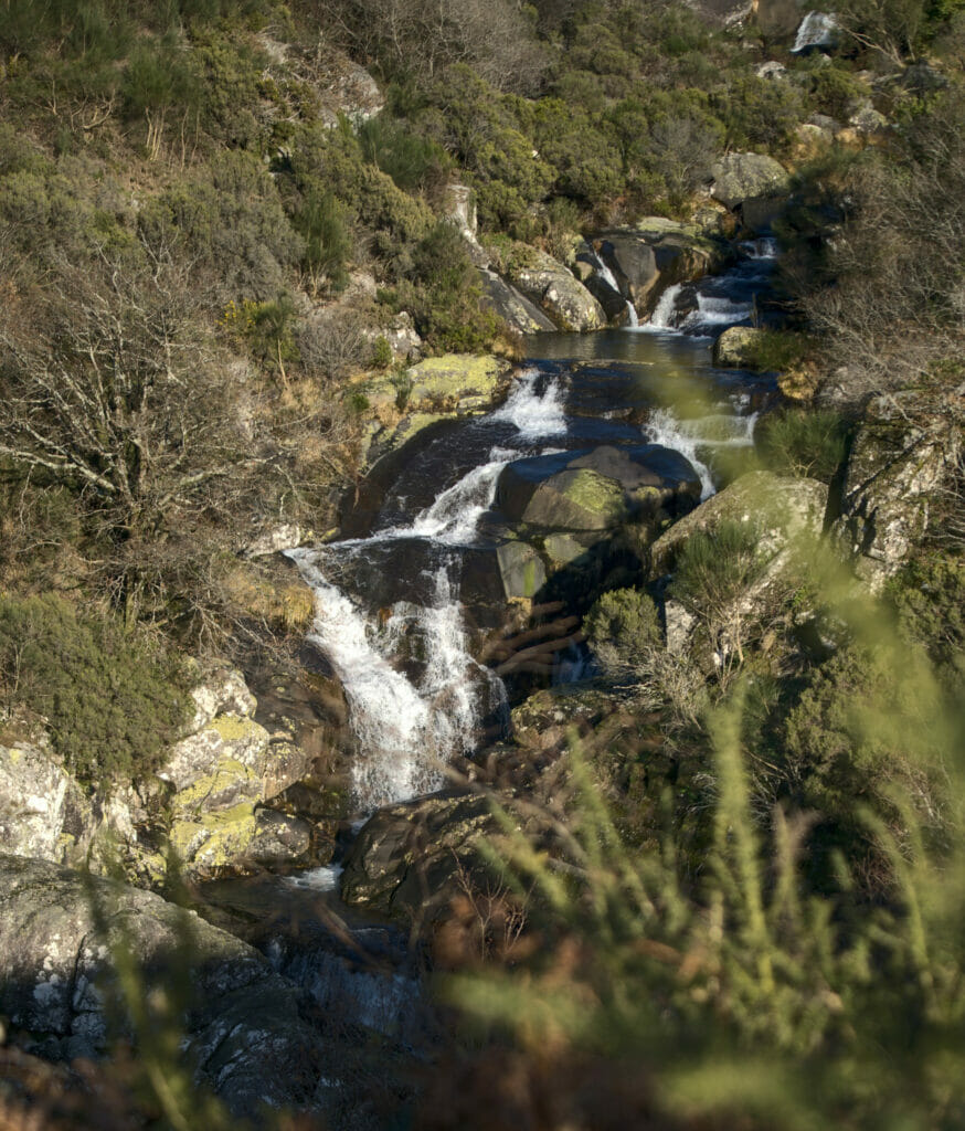
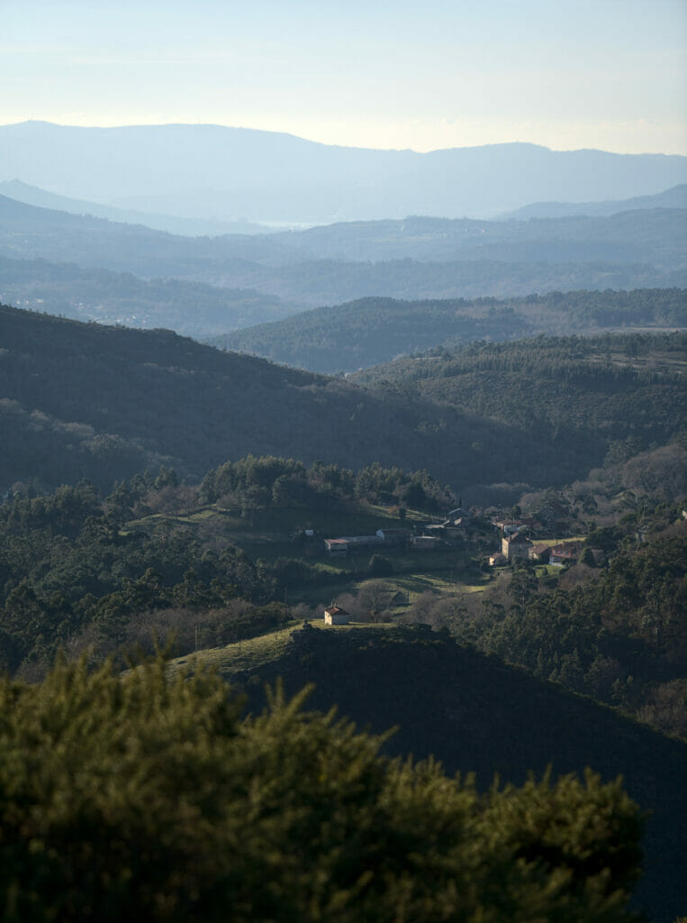
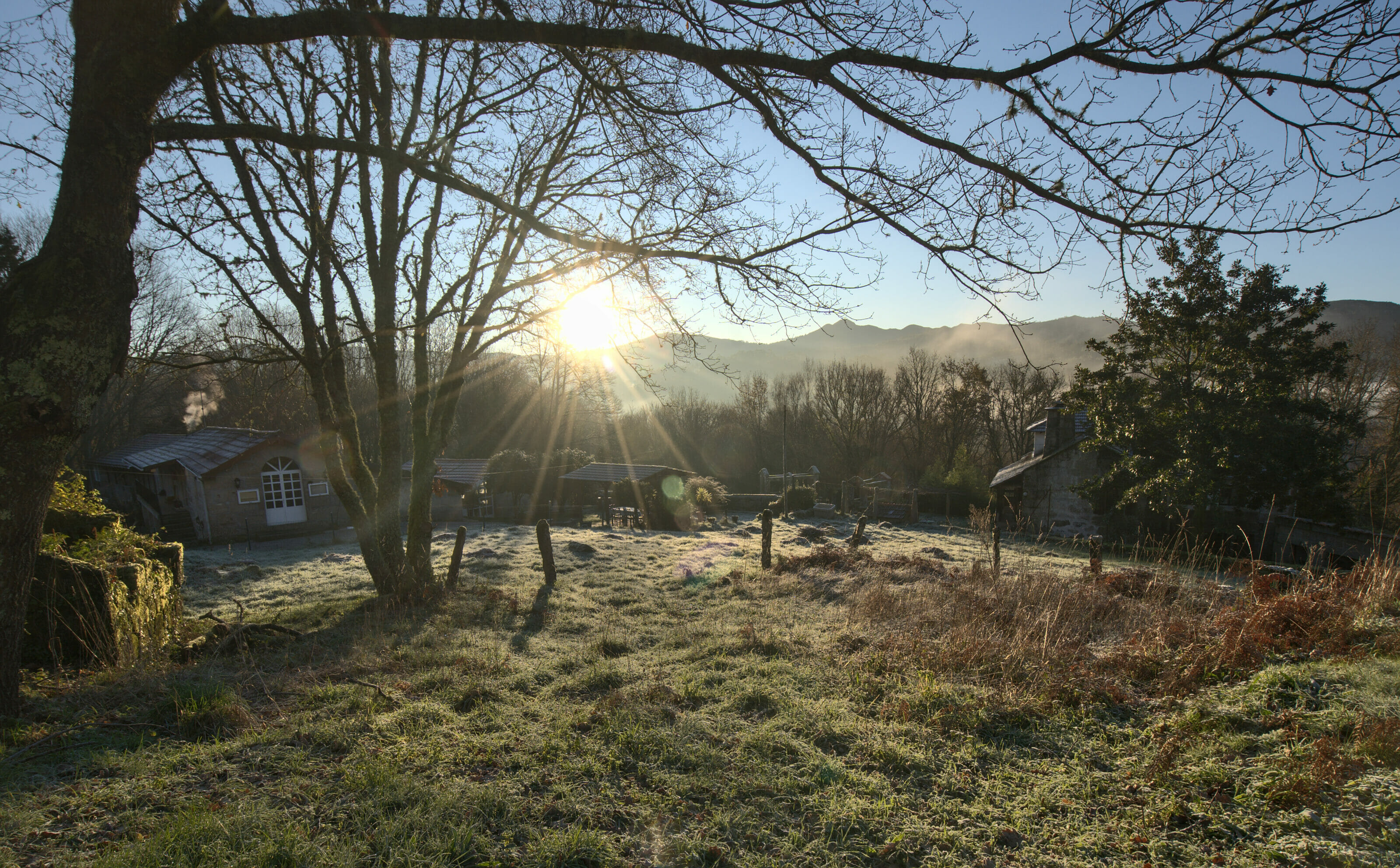
We now take you up to the heights of Galicia, to the municipality of Fornelos de Montes (which is one of the municipalities in Spain where it rains the most… up to more than 4000mm per year!!). The hike starts well, because we just need to walk a couple of minutes and we already have a magnificent view of the Casarinos waterfall.
Along the path, we can also observe “chozos” which are old refuges built by shepherds at the time (there are some explanatory signs along the hike).
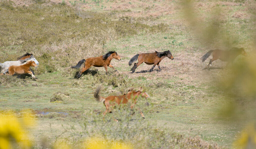
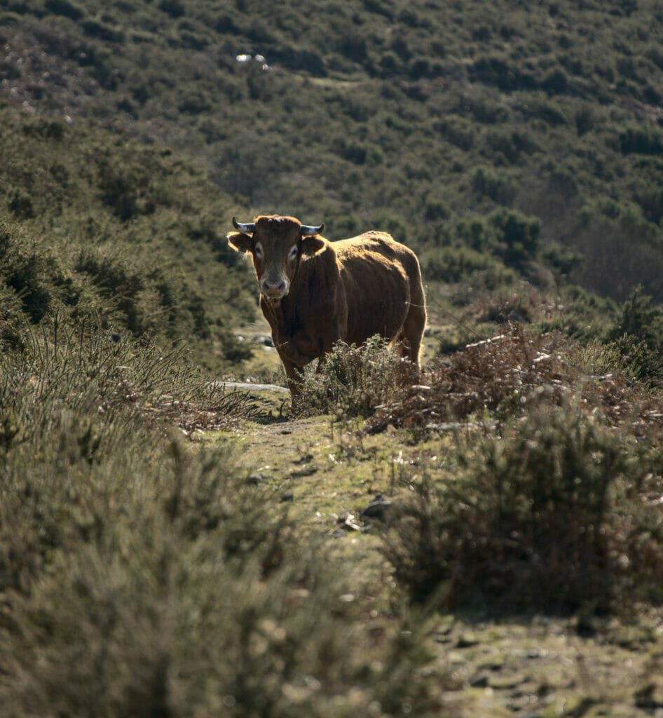
The area is also known for the regular presence of wild horses. These animals usually have an owner (although… not necessarily) but they live 100% in the wild, without any enclosure in sight!
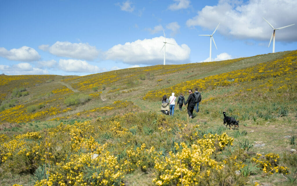
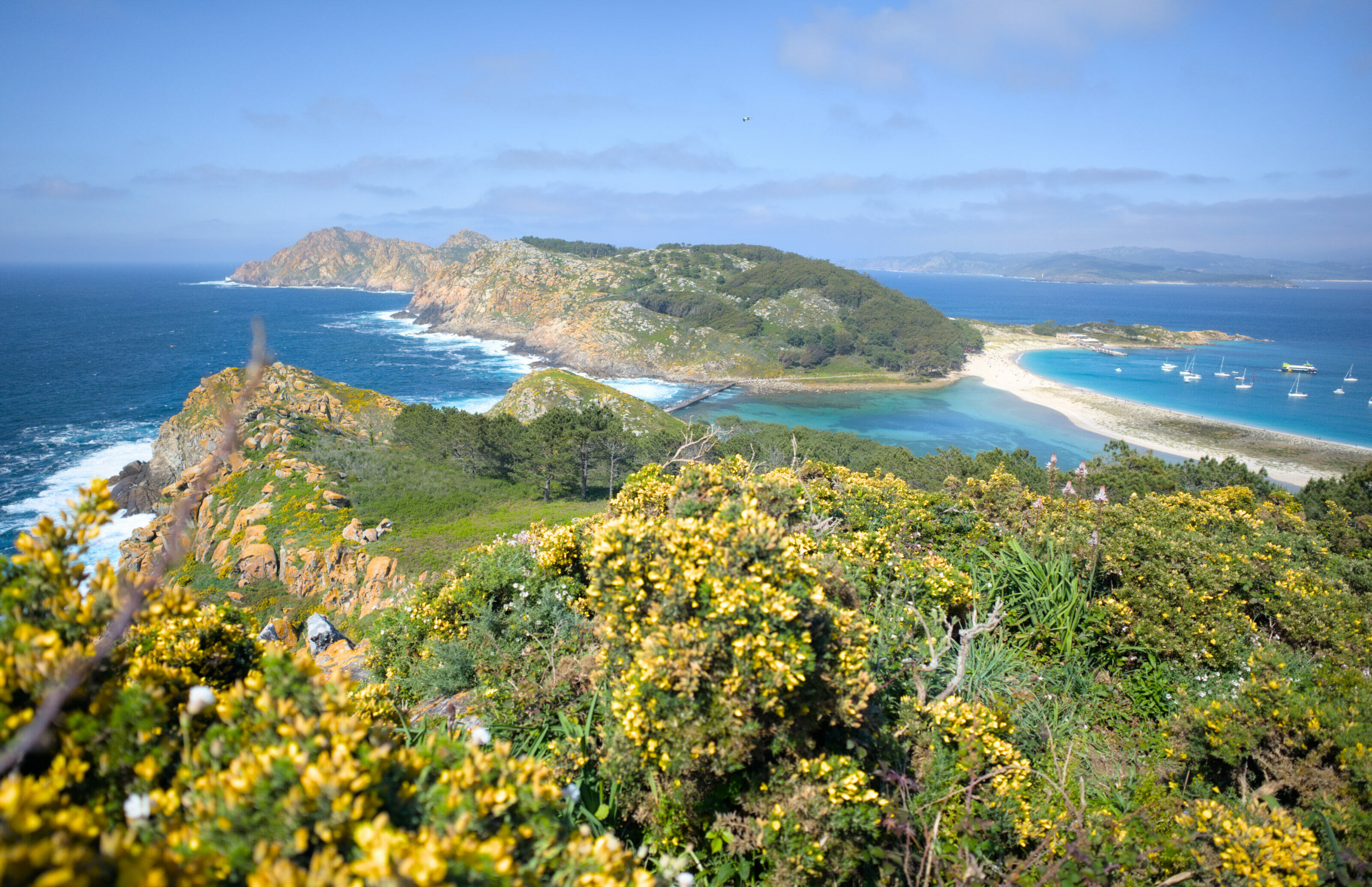
We then go up to the Xesteiro viewpoint with a beautiful 360 degree view located just below the wind mills. From this point, and when the weather is clear, you can even see the Cies Islands. If you don’t know these Atlantic islands yet we clearly advise you to go and read our article dedicated to the Ciès; an unmissable in Galicia in our humble opinion! By the way, on the right picture below, you can see them! 🙂
We then descend to the next river to go up to the Abalar stone. After returning to the river, the path descends slowly towards A Airoa where we again have a beautiful view of the Cotogrande waterfall. We finish the hike going back up to our starting point passing by the viewpoint of A Laxe.
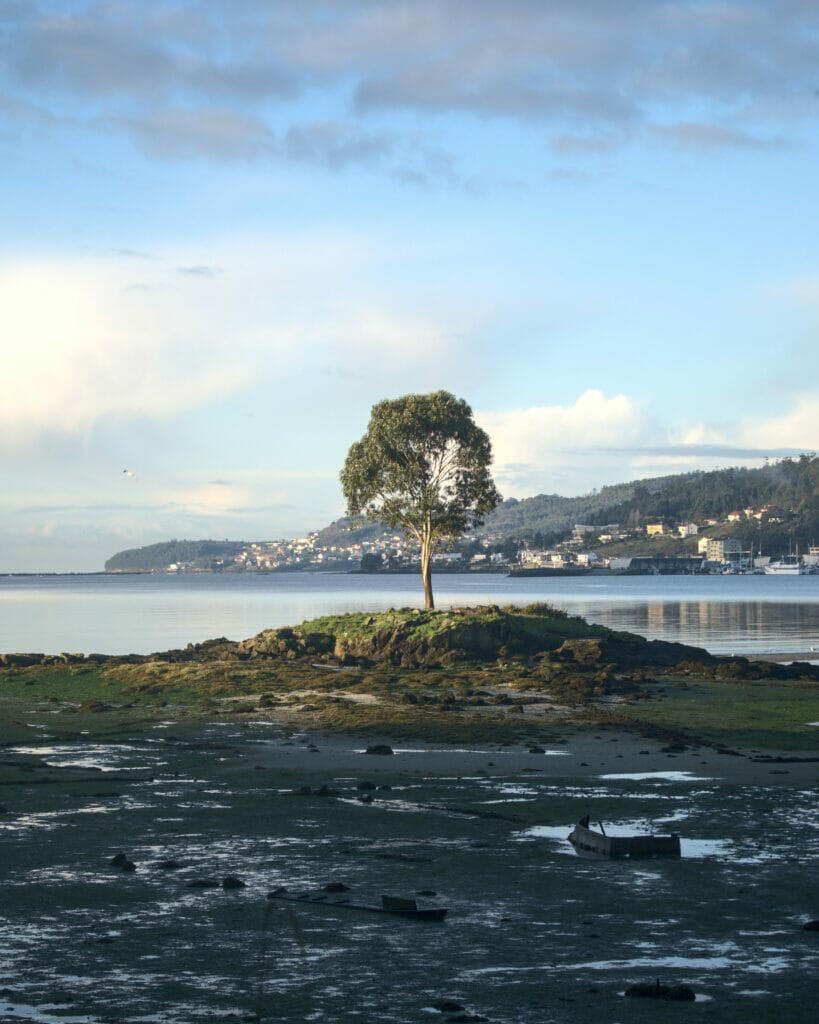
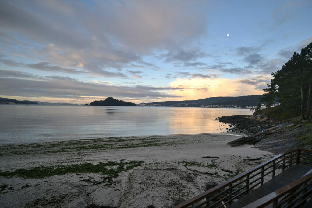
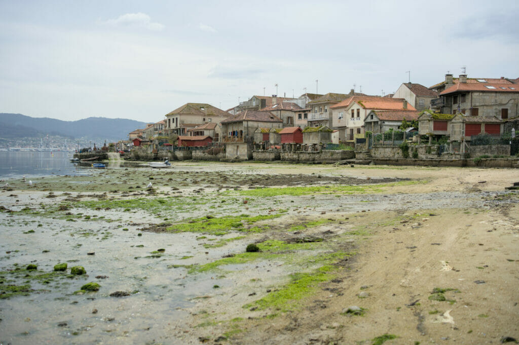
The estuary of Pontevedra (and the port of Combarro)
- Distance: 8 kms
- Denivelation: +- 50m
- Difficulty: easy
- Duration: 2h
- Start: Parking of the Lourido beach
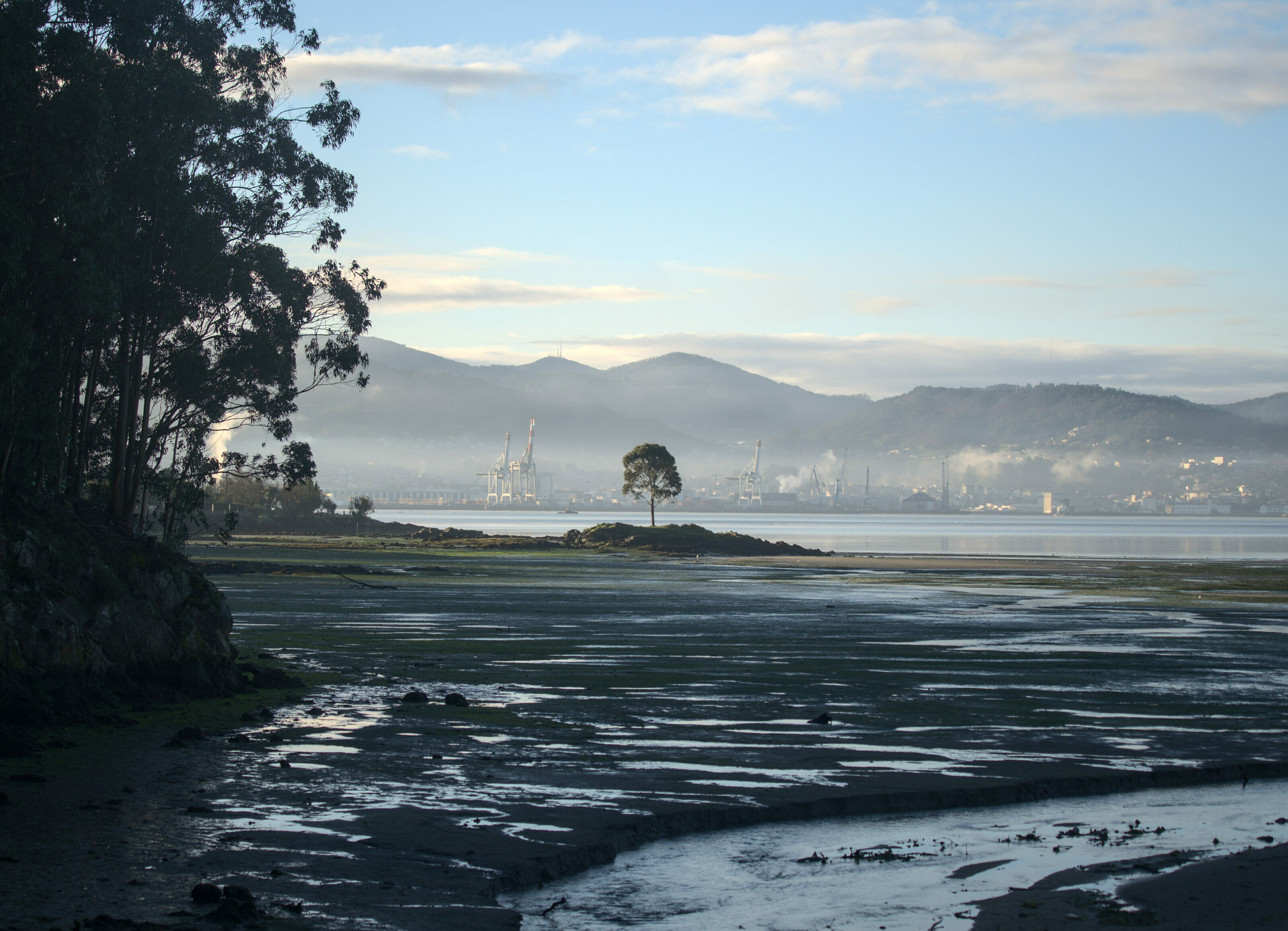
This is a very easy walk that would combine very well with a visit to the city of Pontevedra and/or the port of Combarro. Nothing difficult to note, the path follows the seaside passing by several small beaches. Across the water, we can see the island of Tambo which was the property of the army until recently.
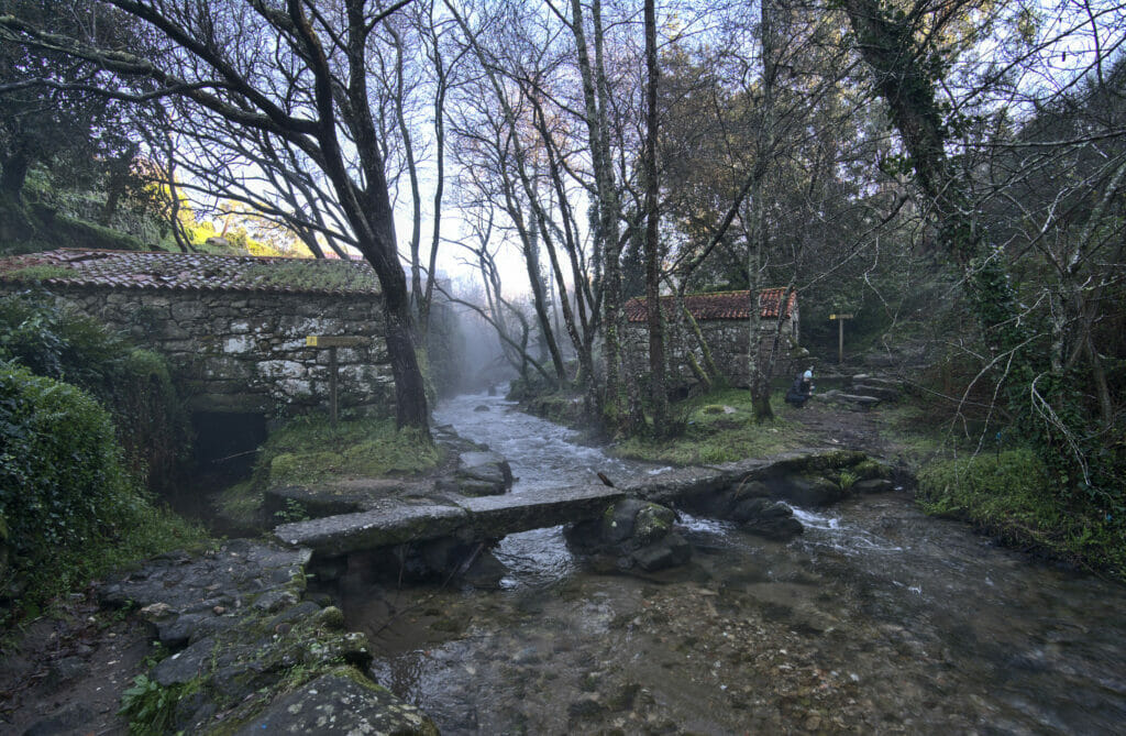
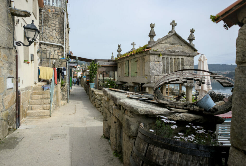
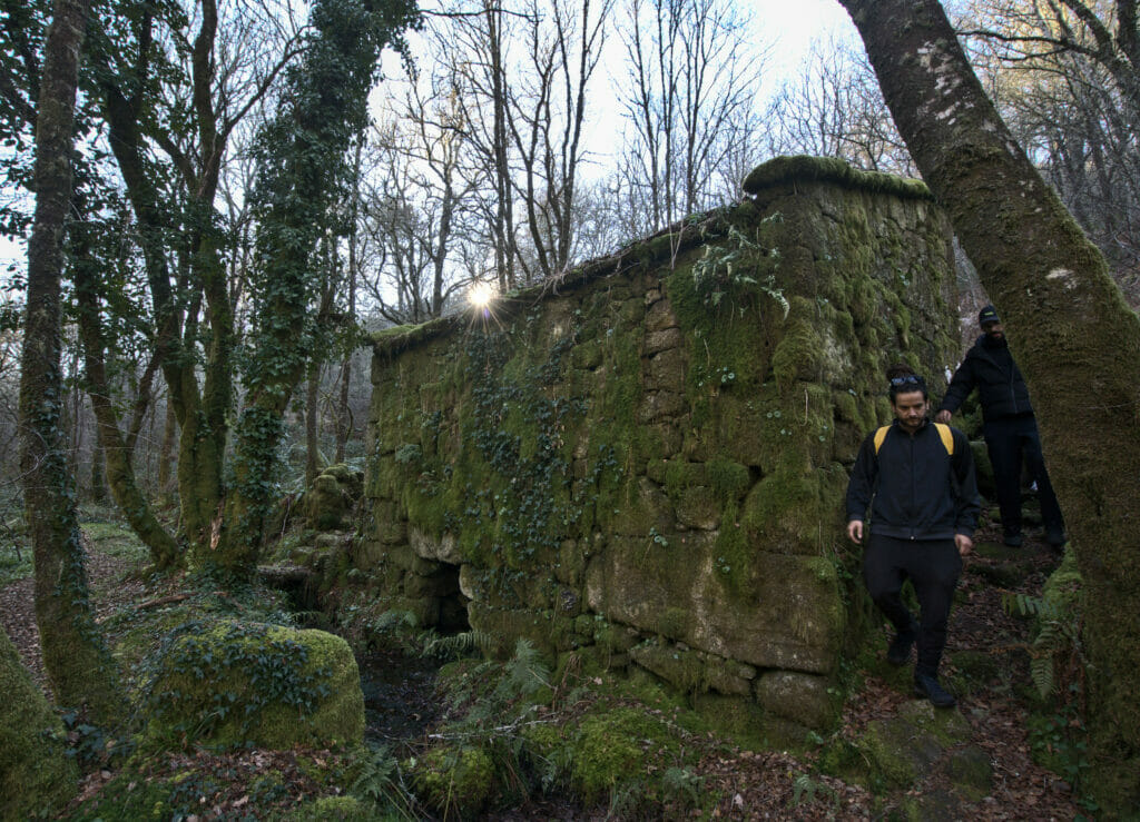
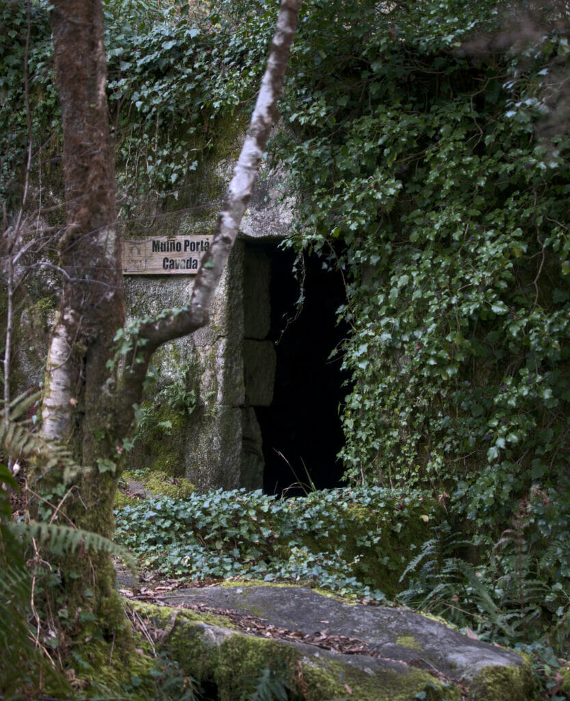
When you reach the Seca Park, you can take a small path that goes to the right for a few hundred meters to see the da Freixa Mill (mills that can be found all over the Galician countryside). And if you have the courage, you can go along the road a few hundred meters after the park to see the port of Combarro and its horreos.
In 2022 we came back to do this walk, and this time we went all the way to Combarro. The village is really worth it, even if we’ll admit that the last bit along the main road is not the most bucolic 😉 (on the map above we turned around just before the road, so to reach Combarro you just have to follow the road for a good kilometer).
Combarro is really a village that has a crazy charm! But we strongly advise you to come in the morning and to avoid weekends! The place is (VERY) popular and you can feel it in the number of people (especially since the streets are very narrow).
Rio Barragan hike (PR-G 164)
- Distance: 12 to 18 kms
- Denivelation: +- 300-400m
- Difficulty: medium
- Duration: 3-4h for the short version and 5-6h for the long one
- Start: Parking indicated with No1 on the map
Without a doubt my favorite hike so far. For the moment we only did the short version of the hike but we will come back to do it in its entirety as soon as we have the opportunity. This loop along the Barragan river represents everything I like in the Galician countryside. A green nature, rivers and trees that intermingle, waterfalls, several beautiful examples of old mills with their pipes (even if they would deserve to be restored a little bit), river crossings on the stones and so on…
The path is well marked and there are several explanatory signs on the heritage, fauna and flora along the way. A little advice, do not miss to make a small detour on the right at point No2 to go and see the waterfall.

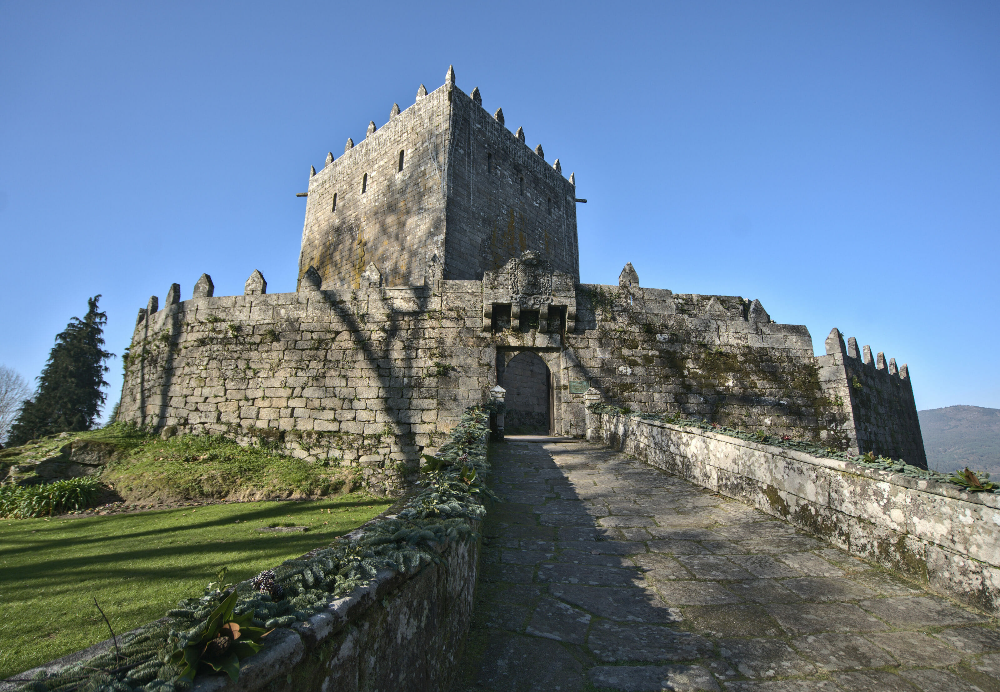
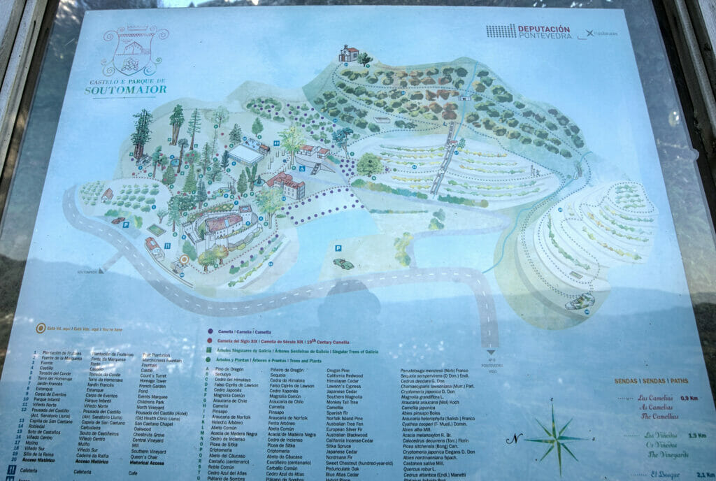
Soutomaior castle and rio Verdugo
- Distance: 7,4 kms
- Denivelation: +- 200m
- Difficulty: easy
- Duration: around 3h
- Start: Parking at the No 1 on the map
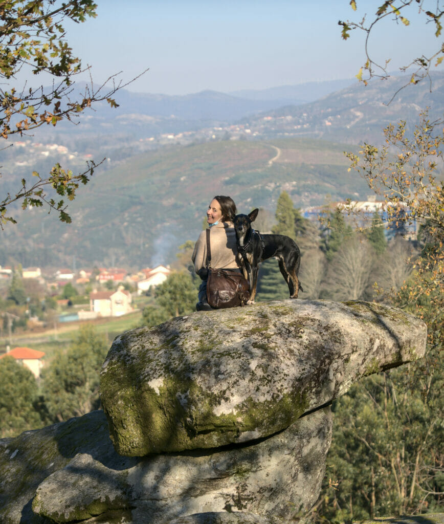
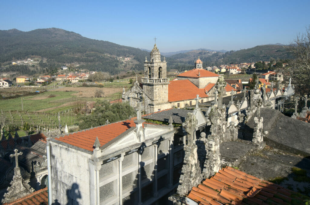
The pretext of this hike was to come and discover the castle of Soutomaior, one of the oldest medieval fortresses in Galicia (which can be visited, but is not allowed for dogs). We started by making a nice loop of 2kms (blue path on the map in the pics below) through the beautiful gardens of the castle to the point of view of the “queen’s chair”. Then we went down to the rio Verdugo.
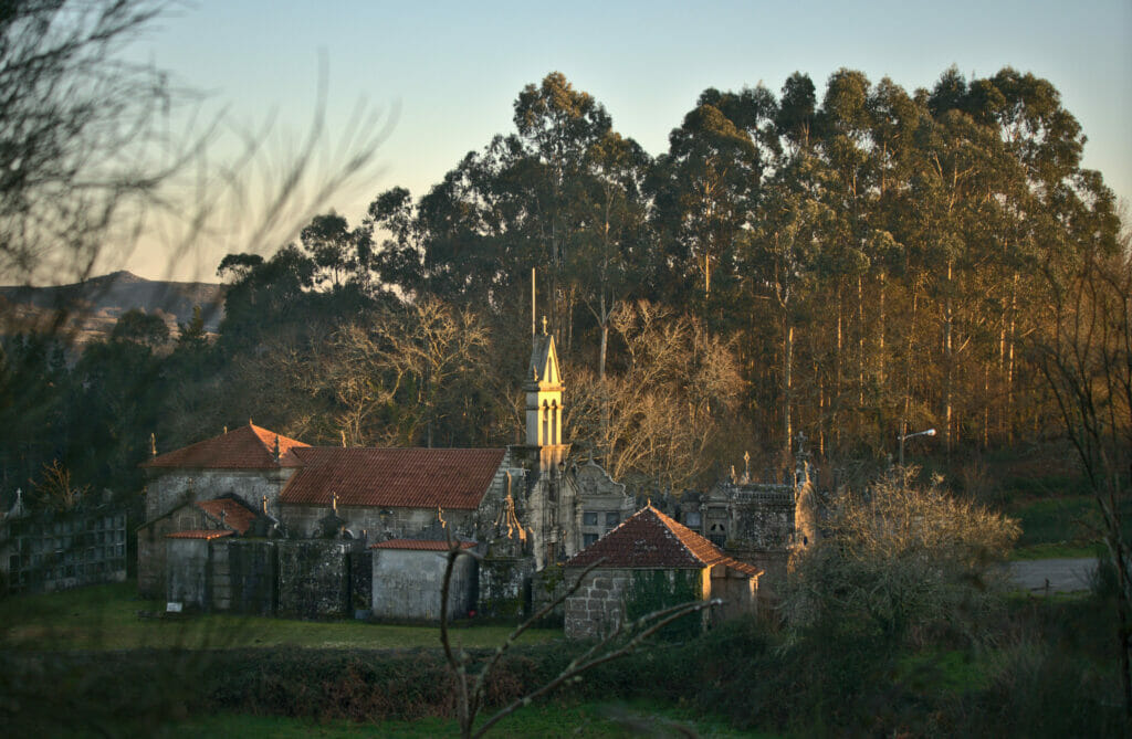
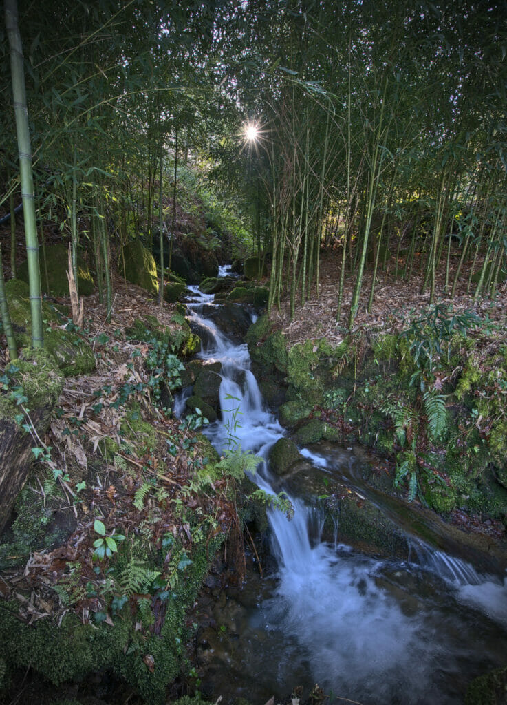
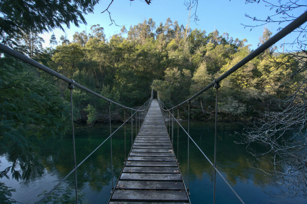
We reach the level of a small beach, cross the river on a suspension bridge and then hike along the river on a pretty path in the middle of nature. We join an old stone bridge that we cross to go up to a church and slowly return to our starting point at the level of the castle.
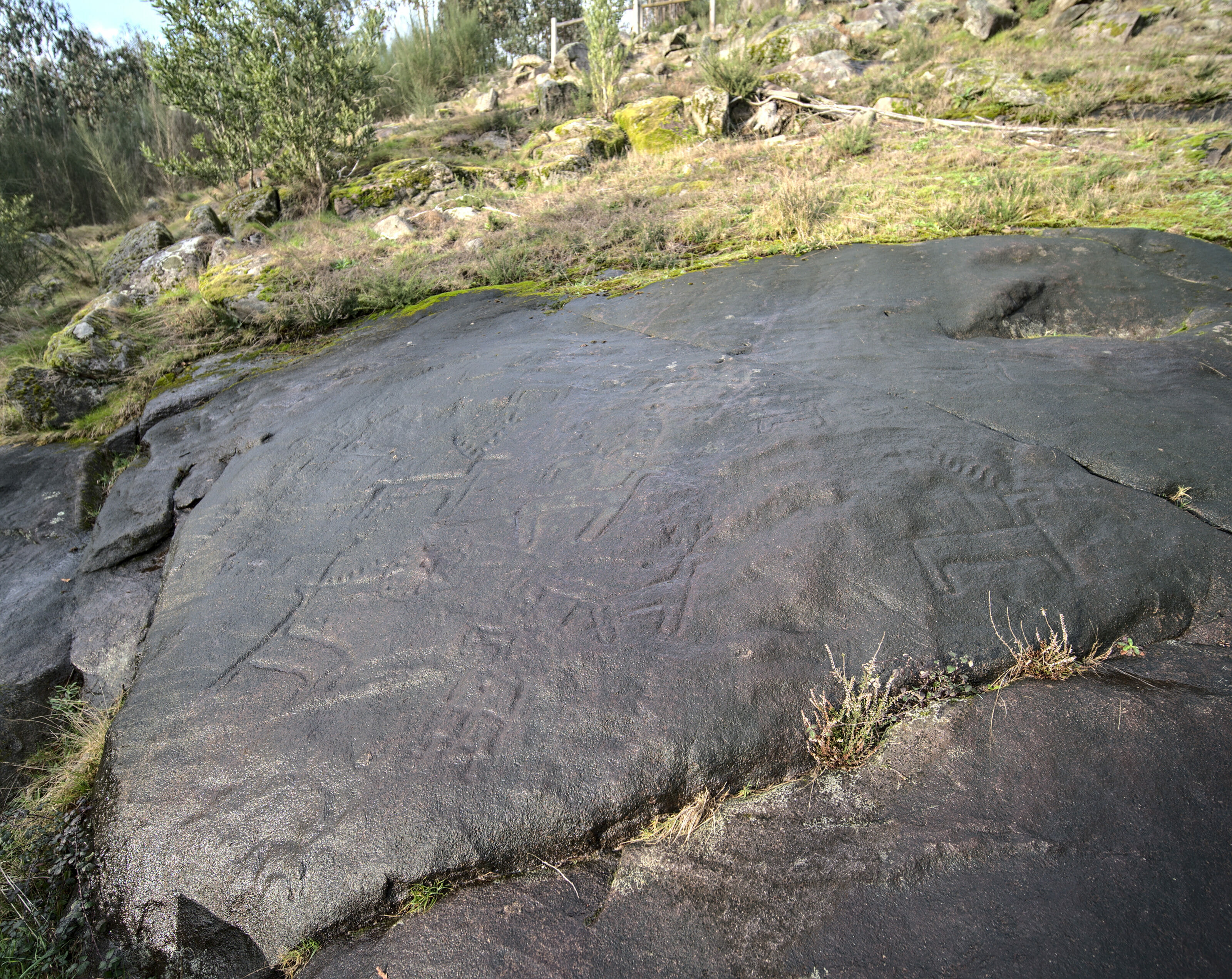
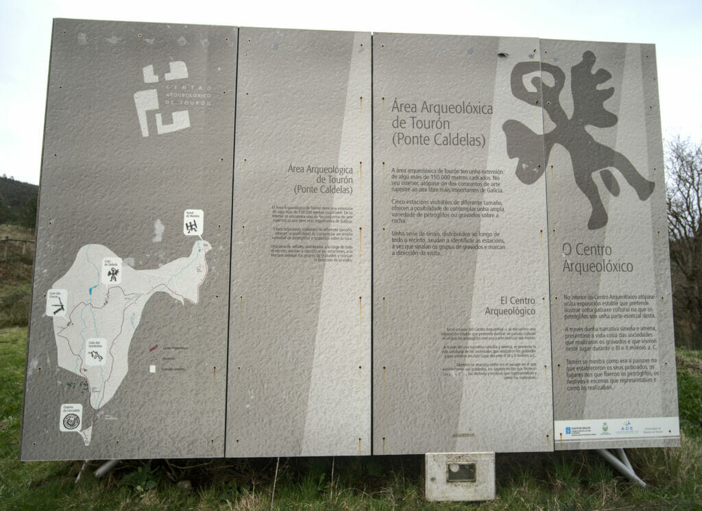
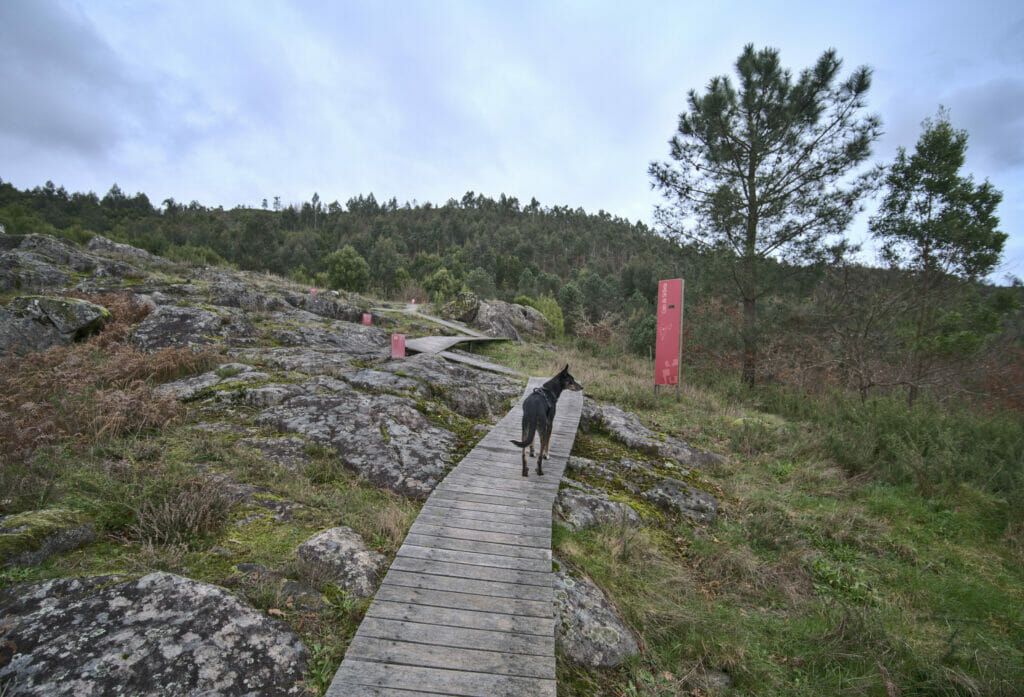
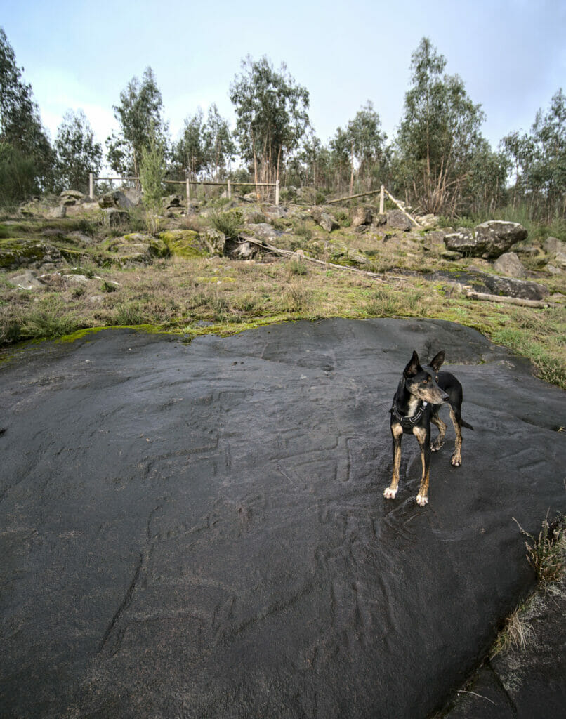
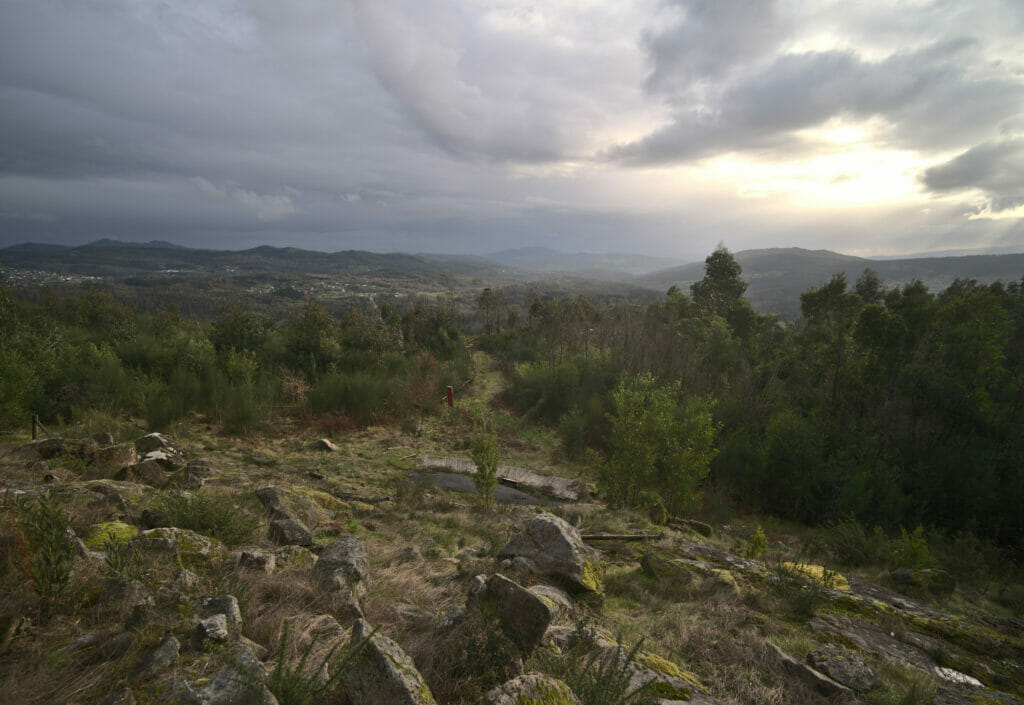
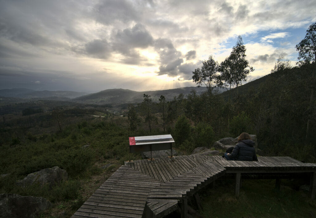
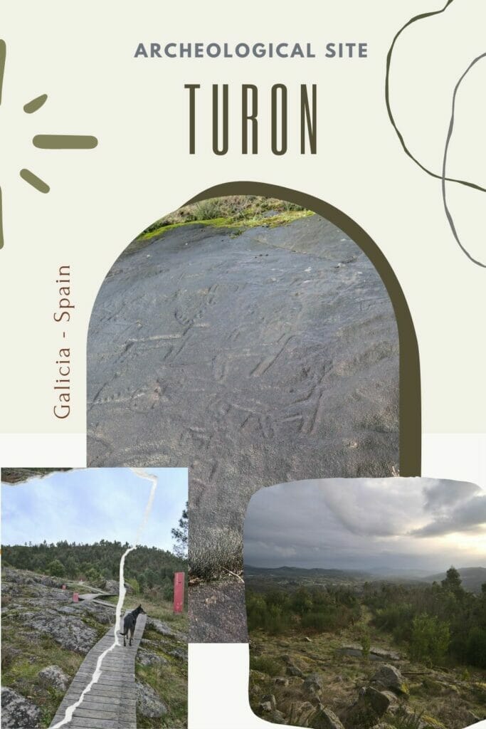
Archeological center of Touron
- Distance: 2,1kms
- Denivelation: +- 100m
- Difficulty: easy
- Duration: around 1h
- Start: Parking indicated No 1 on the map
Above the small village of Touron, not far from Ponte Caldelas, there is a rather singular archaeological area. One finds there a whole collection of petroglyphs which date nevertheless from 2-3000 years BC and which were left there probably by the 1st inhabitants of Galicia!
To enhance these stone engravings, the town of Touron has created a path of about 2kms that passes from one group of petroglyphs to the other. If you like history, this place is a must, especially since very few people visit this site if you want my opinion.
That’s it for our first discoveries and walks in Galicia in the countryside around Pontevedra. I think that there are only a few people who come to venture inland in Galicia (travelers prefer to stay on the coast) and yet there are plenty of nice discoveries to be made there.
We still hope that the Covid situation will improve in the next few weeks so that we can move around a little more freely throughout Galicia. There are a lot of places that we want to discover like the north coast (like Costa da Morte or the Rias Altas), the ribeira sacra, the Atlantic islands or Santiago de Compostela… (by the way if you have suggestions of places to visit in Galicia, leave us a comment below) so we keep our fingers crossed 😉
Pin it on Pinterest
Note: This blog post contains an affiliate link to the rentalcars website. If you use our link to rent your car in Galicia, we will get a small commission that will help us writing free and independent blog posts like this one on novo-monde.

As a native, it’curious to see how tourist see our land, hope you like our nature landscapes!
Looks wonderful! Thank you for posting these hikes.