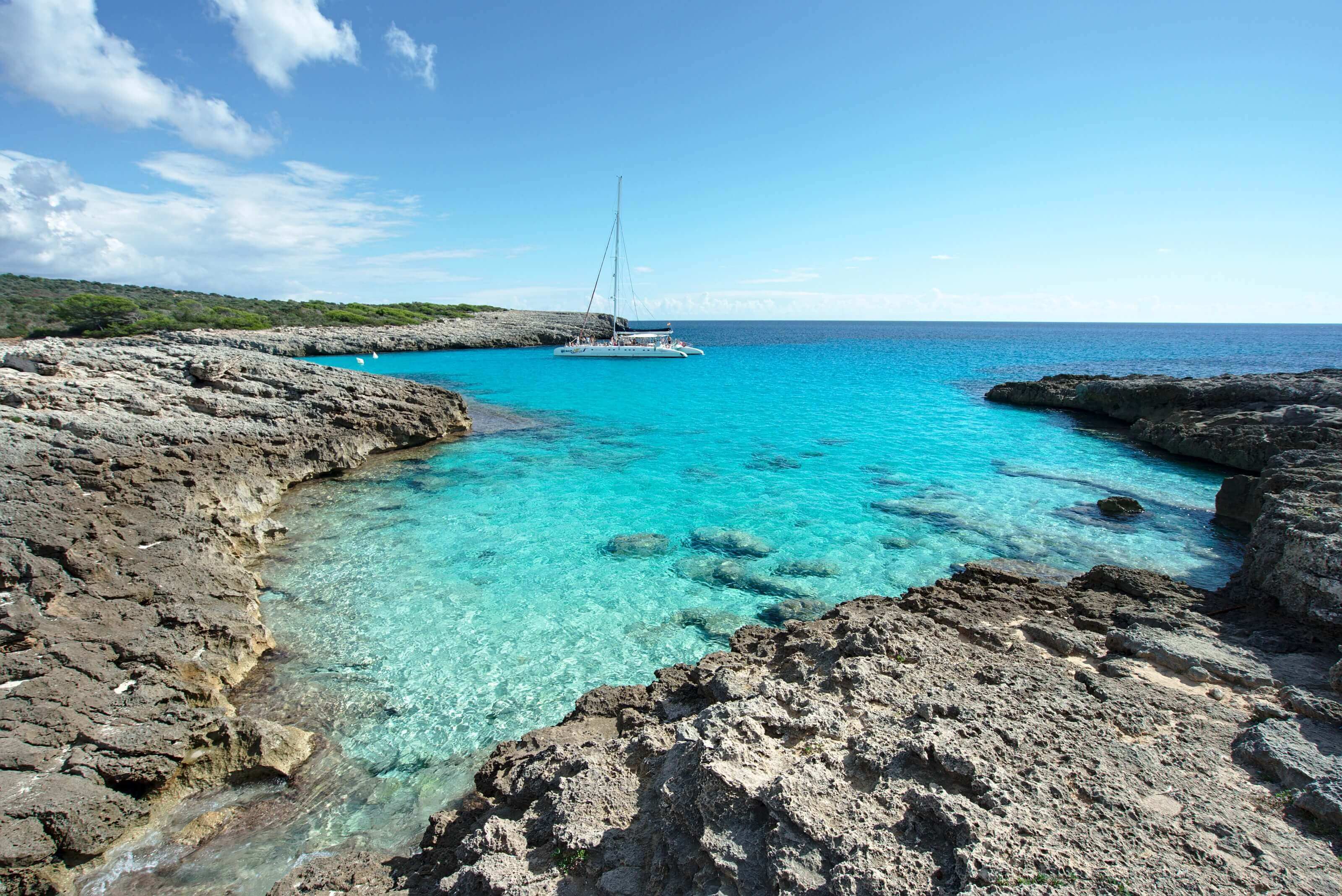
We’ve been on the beautiful little island of Minorca in the Balearic Islands for just over a week now. We’ll tell you all about our apartment hunt and our settling-in experience in a future post, including all the practical details. But in the meantime, we wanted to kick off this Minorca series with a hike that completely stole our hearts: the Camí de Cavalls between Cala Galdana and Cala en Bosch, along the island’s southern coast. Ready to take a walk along the coast to see the most beautiful beaches in this little corner of Spanish paradise?
This article contains affiliate links to partner sites. When you use our links to book accommodation, a car, or an activity, you don’t pay anything extra, but we get a small commission. This helps us to offer you free, independent, and ad-free content. Thank you for your support!
What is the GR 223 / Camí de Cavalls?
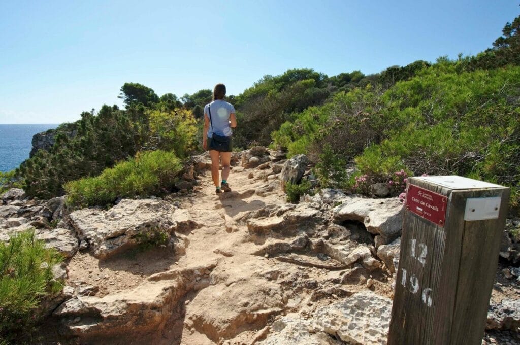
As soon as we arrived on Minorca, we started looking into hikes on the island. It didn’t take long before every search led us to the GR 223, more commonly known as the Camí de Cavalls. This roughly 200 km trail circles the entire island of Minorca, starting from Port Mahon and hugging the coastline the whole way.
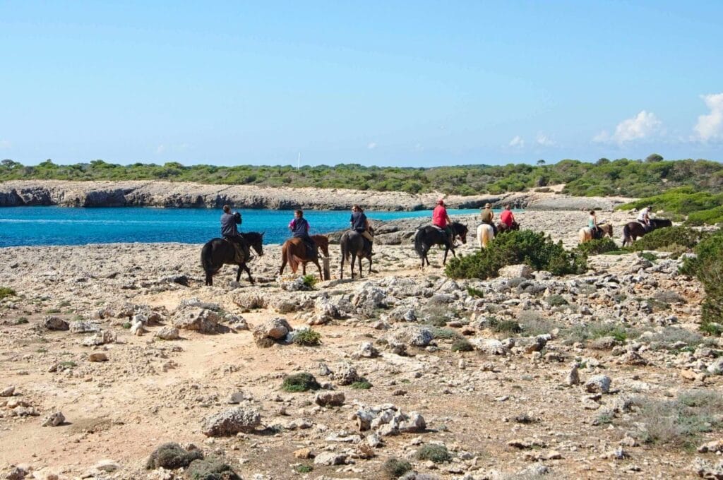
Camí de Cavalls means “path of the horses” in Catalan (yes, Catalan is the main language spoken on Minorca!). The name dates back to a time when mounted soldiers used this route to patrol and defend the island.
Over the years, the coastal trail fell into disrepair and passed through many private properties, making it virtually impassable. Fortunately, the Minorcan government stepped in around 2000 and greenlit a full restoration and waymarking project. Since 2011, the trail has been fully accessible, whether you’re on foot, mountain bike, or horseback.
Camí de Cavalls
- Total distance: 200 km
- Total elevation gain: 4,000 m. The highest point is just 125 m, so while the climbs are frequent, they’re always very short!
- Number of stages: 20, each between 5 and 14 km. (Have a look at this page to see the details of the stages)
Cala Galdana to Cala en Bosc (stages 12 & 13)
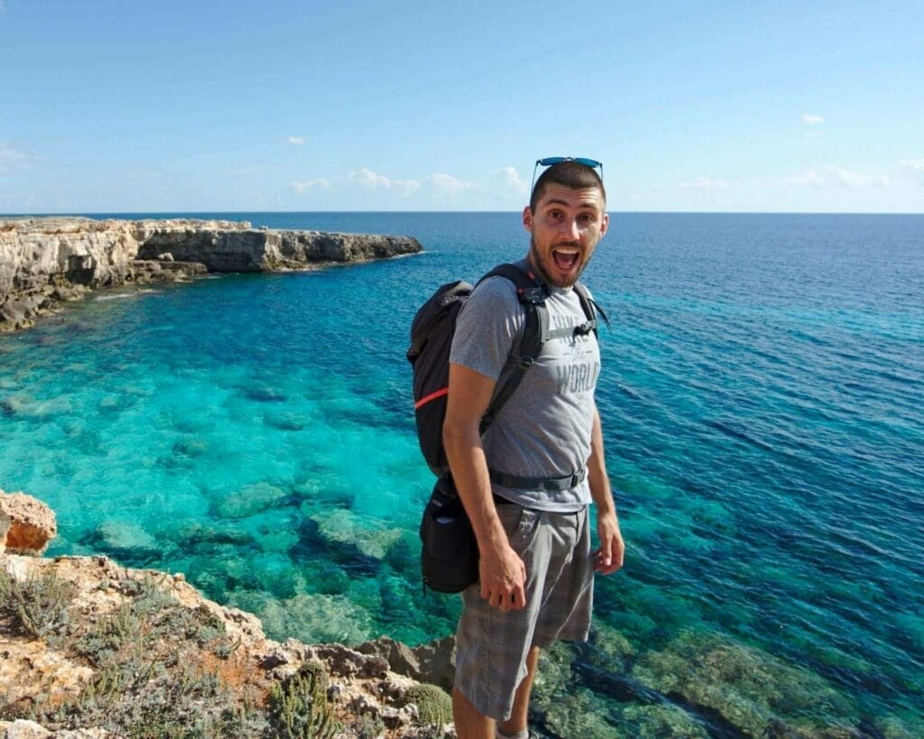
After crossing Switzerland on foot along the Via Alpina, you might think we’d be fit enough to tackle the whole island loop, and honestly, we did consider it! The thing is, we’ve rented an apartment here, and we didn’t bring any camping gear. So we decided to tackle the Camí de Cavalls in stages instead.
For our first day out, we headed south and combined two official stages in one go: stages 12 and 13, starting from the small village of Cala Galdana and walking to Cala en Bosc (Cala’n Bosc) in the southwest. You’ll find a full map of our route along with all the practical details at the end of the article.
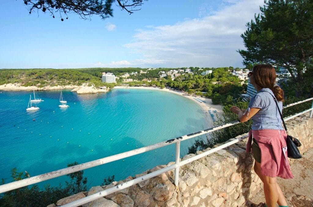
Stop 1: Cala Mitjana, Minorca’s little paradise beach
We reached Cala Galdana on the first bus of the morning (all the details are at the end of the article). On Spanish time, that meant leaving Ciutadella at 9:20 a.m.! 😉
The official route heads west, but we’d spotted a small cove just east of Cala Galdana that we didn’t want to miss. Cala Mitjana is less than a kilometre away, so it was a quick and easy detour.
After walking along Cala Galdana beach, we climbed the steps up to the clifftop and joined the GR 223. Just before reaching Cala Mitjana, we made an extra loop to take in the view from above (it’s marked on the map at the end of the article).
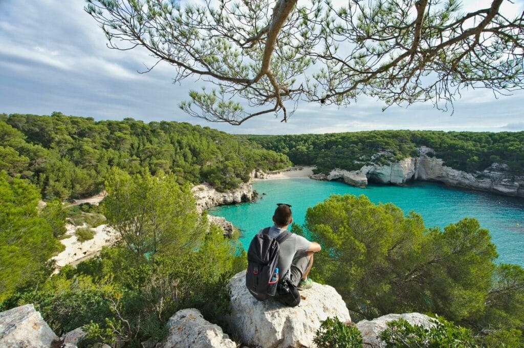
We then retraced our steps back through Cala Galdana, stopped at one of the terrace cafés for a coffee, and set off again.
Prefer exploring the coves from the water? You can book boat trips departing from Ciutadella, either as a 3.5-hour half-day excursion or a full 7-hour day trip.
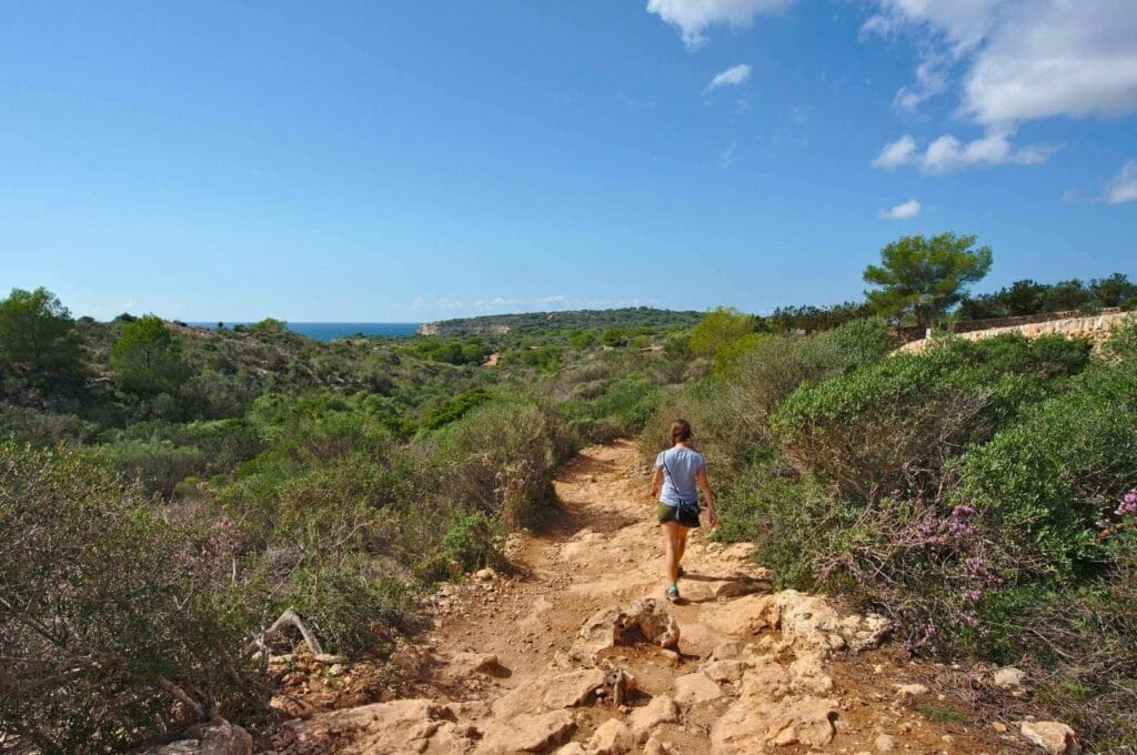
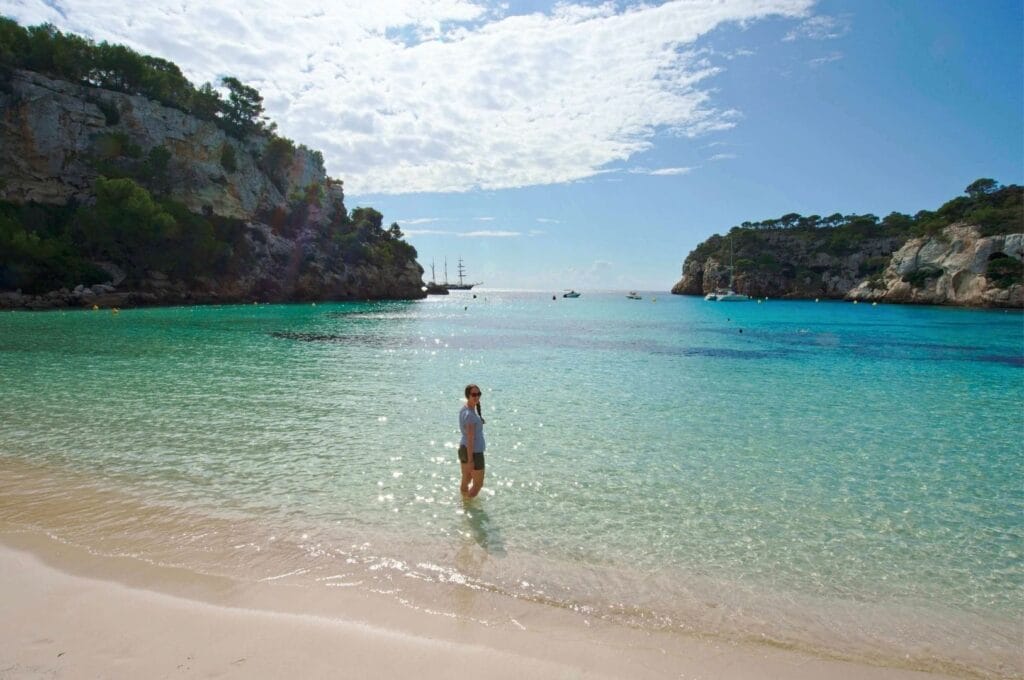
Stop 2: Cala Macarella, one of the Balearics’ most beautiful beaches
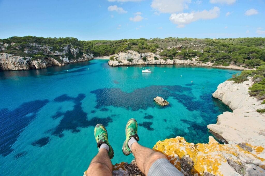
Leaving Cala Galdana, the trail dips slightly inland and passes several signposted viewpoints along the coast. Between Cala Galdana and Cala Macarella, you’ll come across four of them. They’re all worth the detour if you have the energy, but if you can only stop at one, make it the fourth. The view over Cala Macarella (and Cala Macarelleta on the left) from up there is absolutely breathtaking! Judge for yourself:
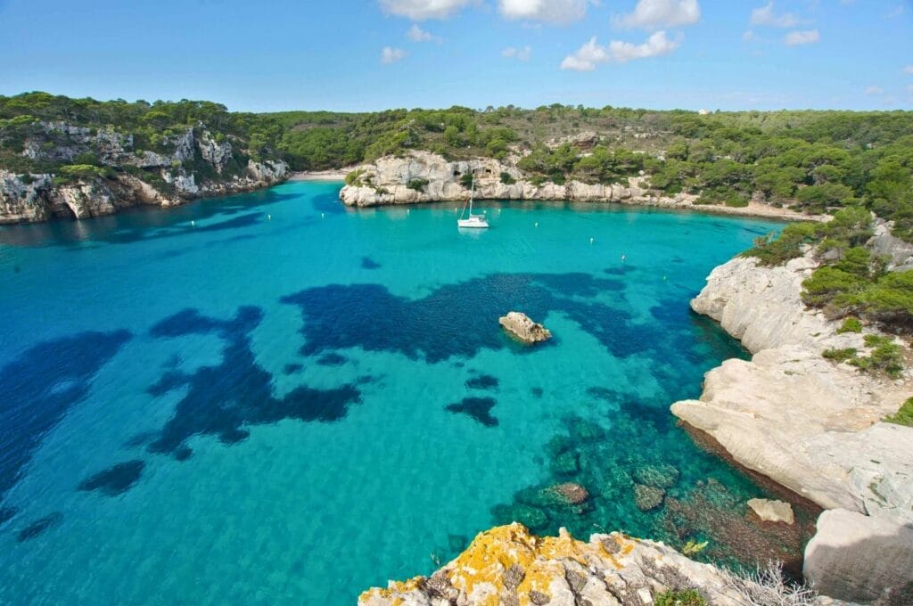
We completely fell for Cala Macarella. The beach isn’t directly accessible by car or bus, which means you have to walk a little to get there. And as any traveller knows, a little effort goes a long way toward keeping a place peaceful!
Even though it wasn’t peak season, Cala Macarella was almost deserted. We’re definitely coming back for an afternoon of swimming and sunbathing ;).
Stop 3: Cala en Turqueta, a taste of Tahiti in the Mediterranean
Leaving Cala Macarella was tough… For anyone wondering, the water is still fine in October! But with another 15 km ahead of us, we didn’t linger too long. Especially since the next stop was shaping up to be just as spectacular.
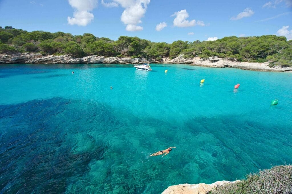
Cala en Turqueta is one of Minorca’s best-known beaches. We knew there was a bus stop and a car park nearby, so we were bracing ourselves for crowds.
We settled down for a picnic just before reaching the cove, then headed down to the famous beach. It was indeed the busiest spot of the day, not counting the beaches right in the resort areas, but honestly, it wasn’t hectic at all. October in Minorca is the tail end of tourist season, and it’s absolute bliss!
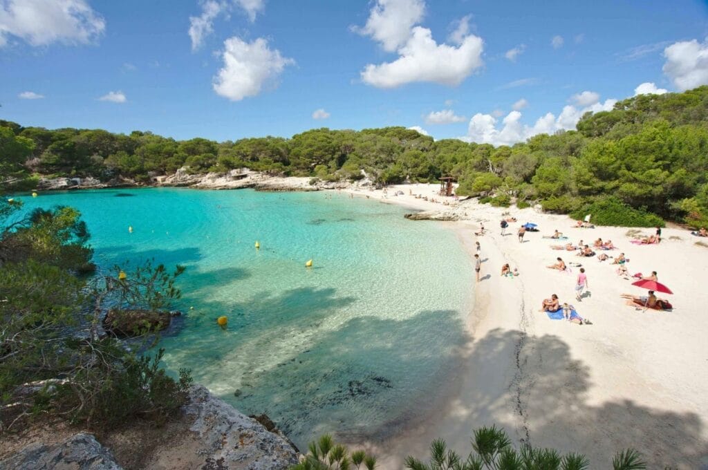
Fun fact: Naturism seems to be quite popular on Minorca! On almost every beach, we spotted people swimming in the crystal-clear Mediterranean with nothing on. We didn’t manage to get a photo from the beach itself since, for the full 30 minutes we were there, a group of gentlemen was chatting away in the buff right at the water’s edge. We weren’t about to play paparazzi, and with a wide-angle lens, there was no cropping them out anyway :)!
Stop 4: Cala des Talaier and Cala Son Saura
Cala des Talaier and Cala Son Saura (made up of Platja de Bellavista and Platja d’Es Banyul, two beaches separated by a rocky headland) were the last big coves on our route. Both are fairly well-known and popular, largely because they’re easy to reach by car or bus.
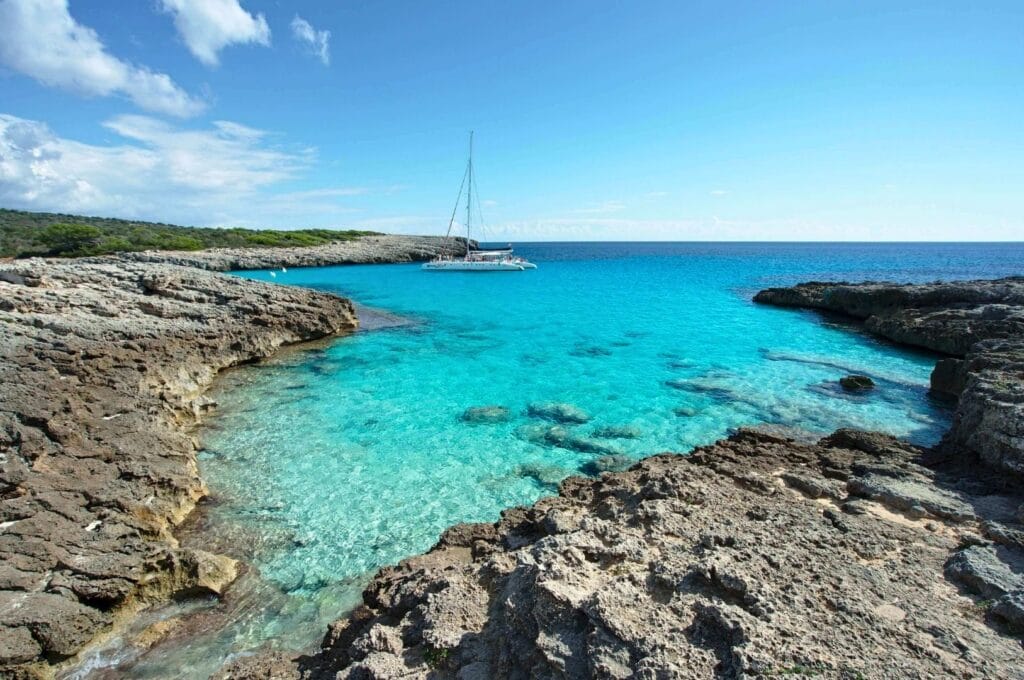
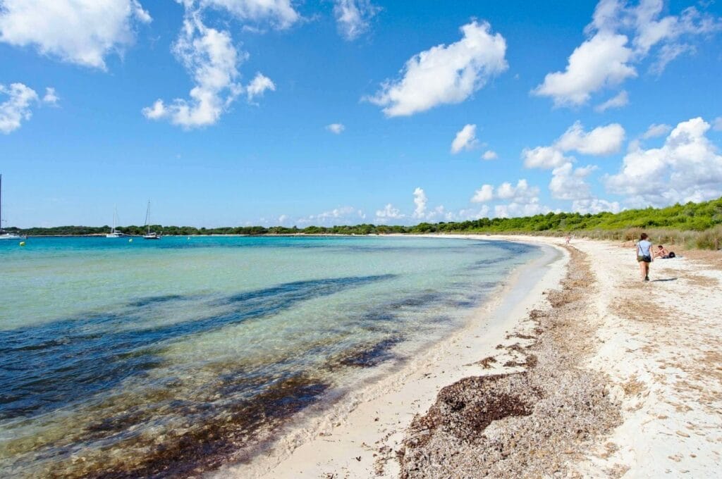
We’ll be honest, we were a little picky here! The water is just as beautiful and the sand just as soft, but these wouldn’t be our first choice for laying down a towel. There was quite a bit of seaweed, which makes getting into the water a bit less pleasant. And the combination of waves and algae tends to leave a not-so-fresh smell drying on the shore. That said, they’re still gorgeous beaches to walk through ;)!
Stop 5: Son Xoriguer and Cala en Bosc
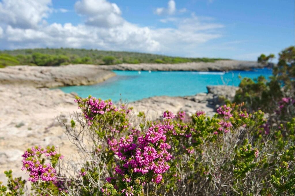
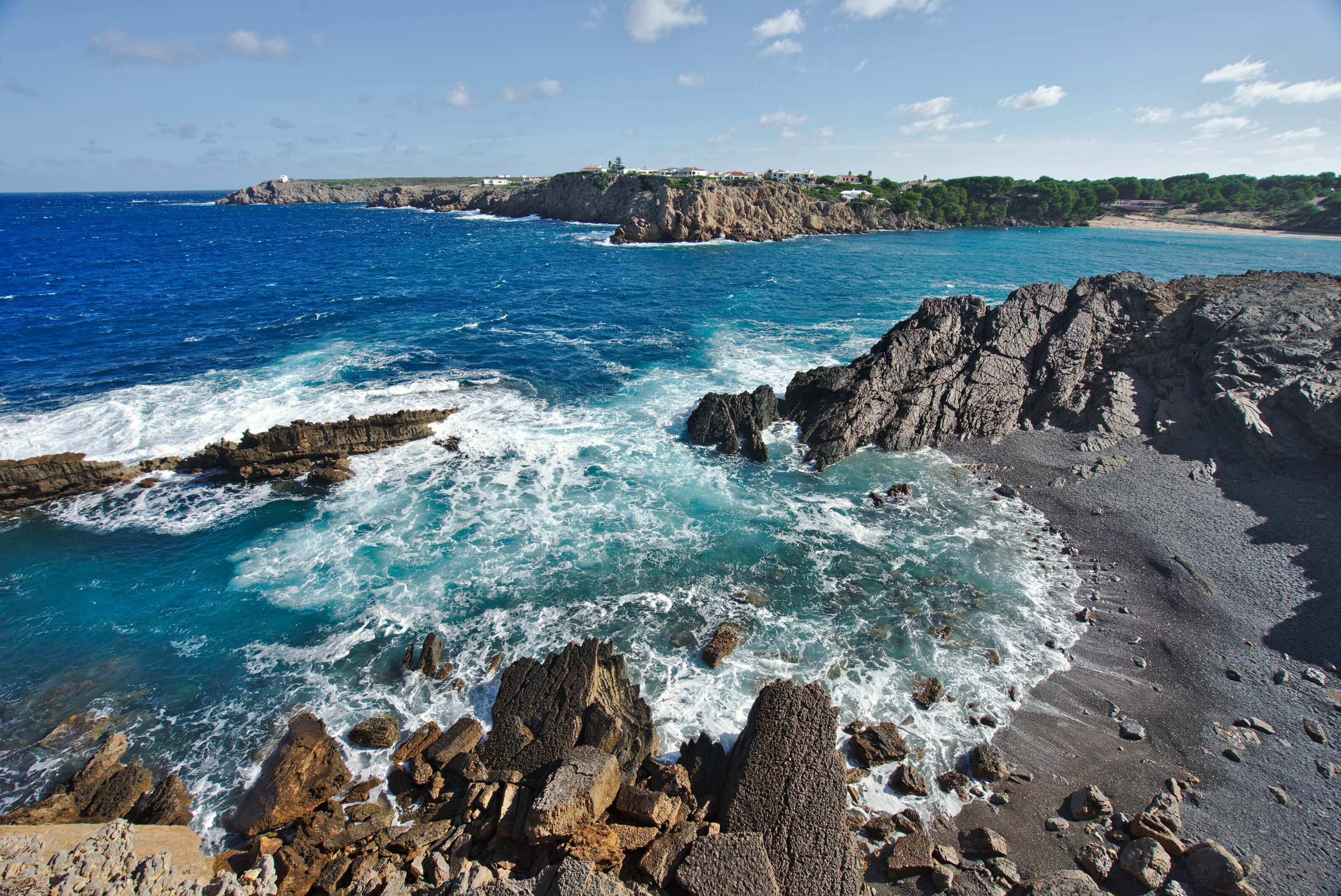
After Cala Son Saura, we continued along the GR 223 toward Son Xoriguer, a roughly 6 km stretch that hugs the coastline the entire way. This section is a lot more rugged with no proper beaches, but the views of the turquoise water from the clifftops are simply stunning.
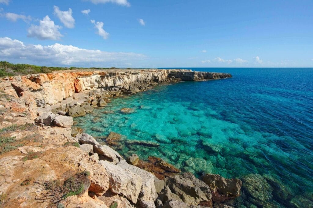
It was during these last 6 kilometres that tiredness really started to kick in… And we ran out of water. We’d naively assumed we’d find somewhere to refill along the way and had only brought 1 litre each. We didn’t die of thirst, but in that heat, we could have done with quite a bit more!
Thankfully, Son Xoriguer is a popular beach resort, and finding a terrace to enjoy a very well-earned end-of-hike beer was absolutely no problem :).
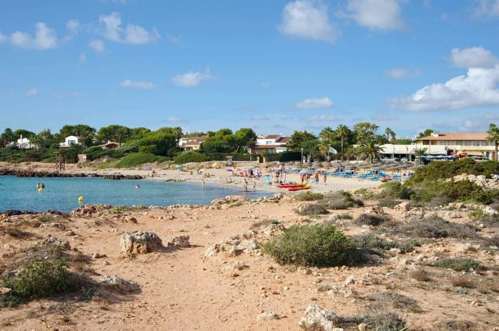
Son Xoriguer and Cala en Bosc are lined with resorts and hotels, not ugly exactly, but the beaches there really don’t compare to what we’d just walked through. If you find yourself staying in the area, it’s well worth lacing up your shoes and heading out to explore the stunning little coves along the southern coast!
Another great option in the area is exploring the coves by boat. Seasickness means this isn’t really my thing, but we’ve heard great things from fellow travellers! The 7-hour cruise is the better-value option and includes a paella on a larger boat. The 3.5-hour cruise is the more relaxed choice and includes a paddleboarding activity and an aperitif.
Practical information: Cala Galdana to Cala en Bosc
Everything you need to know to tackle this hike independently.
The basics
- Distance: Around 22 km, including all detours for viewpoints
- Walking time: About 5 hours of actual walking, though that’s hard to estimate when the scenery keeps inviting you to stop for a swim or a photo. Plan for a full day.
- Getting to the start: Take bus 52 from Ciutadella to Cala Galdana. Note that only a few buses run per day, so check the timetable in advance.
- Getting back from the end: From Son Xoriguer/Cala en Bosc, bus 65 runs back to Ciutadella (timetable). There’s at least one bus per hour, up to every 30 minutes in the evening. Fare: €1.95.
- Shortcuts: If you are tired or need to cut the hike short, buses also run from Cala en Turqueta (bus 68/timetable) and Son Saura (bus 66/timetable). But these only operate in high season (May to June) with just 3 or 4 departures per day.
Map of the Cala Galdana – Cala en Bosc hike
The map below shows the exact route we took. You can zoom in for more detail and to see the intermediate bus stops along the way. As you’ll notice, there are plenty of paths running along the coast. We mostly stuck to the official GR 223 trail, though we did branch off here and there to catch a viewpoint or two. Either way, the coastal trail is so well marked that getting lost is genuinely not an option!
Gear: what to bring
This hike is technically very easy, despite its length, but a few essentials gear are worth packing:
- Good footwear: You don’t need mountain boots, but the path is rocky enough that a solid pair of trail runners or hiking shoes will make a real difference.
- Plenty of water: Make sure to bring enough! We brought 2 liters (for 2 people) and ran completely out by the time we reached our destination. The heat is overwhelming, and aside from at the start and finish, there’s nowhere to restock along the way. Update: We’re now using water filters, so no more supply issues ;).
- Sunscreen!
- Your swimsuit and a towel: With the white sandy beaches you’ll encounter along the way, it would be a shame not to take a dip!
Accommodation
You can follow our lead and base yourself in Ciutadella, or stay closer to the trailhead in Cala Galdana. Compare accommodation options directly on the map below.
That’s everything we wanted to share about this section of the Camí de Cavalls! See you on the next stretch, this time along the northern coast of Minorca!
P.S. — We’ve also put together a complete backpacking guide to help you plan your stay on Minorca.
Pin it


Hi Fabienne,
We really like this guide on hiking in Menorca. We used it to plan part of our Menorca hiking trip.
We found the information on the walk from Cala Galdana and Cala’n Bosch to be really helpful. We absolutely loved that walk.
If you or your readers are interested in other awesome hikes along the Cami de Cavalls route, we’ve written about our 8 favourite hikes in Menorca: https://travelmademedoit.com/best-hikes-in-menorca/
We hope these additional hikes help your readers just as this awesome article has 🙂
We love your website, keep up the great work. We have also subscribed to your IG and look forward to seeing your next adventures!
Cheers, Dan & Beck
Hey guys glad you liked our post. Your guide about the best hikes in Menorca is really awesome too! It seems you made the best out of your time there! happy travels 🙂
Great stuff, thank you.