After our first article on the most beautiful beaches in southern Minorca, we decided to turn our attention to the island’s northern coast. In this article, we’re taking you to Es Tancats beach (La Vall de Algaiarens) and Cala Morell. You’ll find all the practical information you need: route, accommodation, and transport. Ready to explore the northwest of Minorca ;)?
Algaiarens to Cala Morell: stage 8 of the GR 223
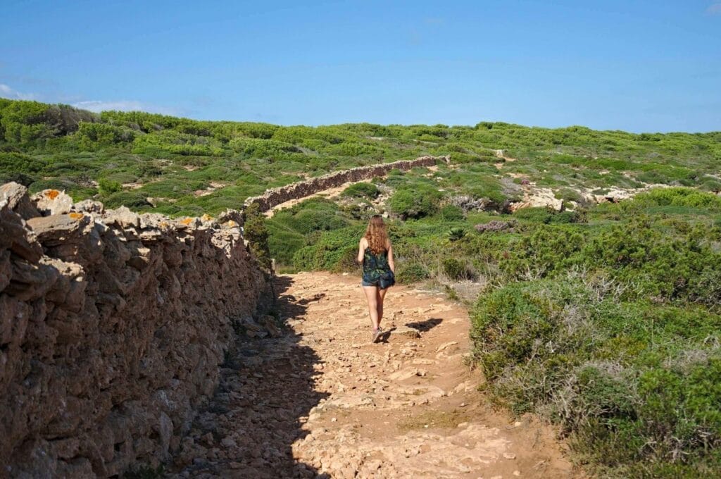
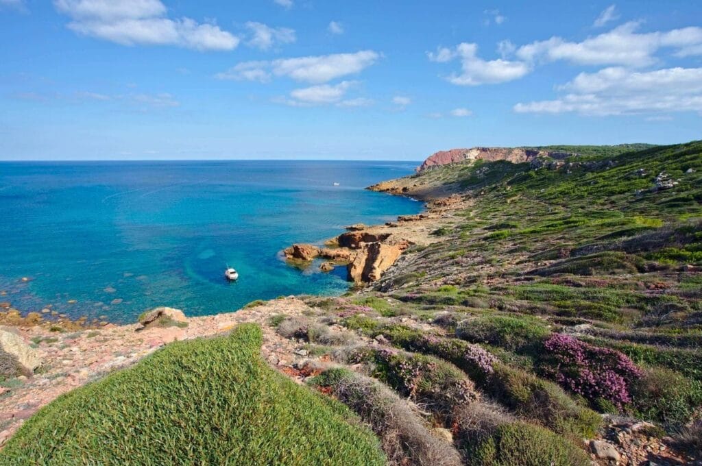
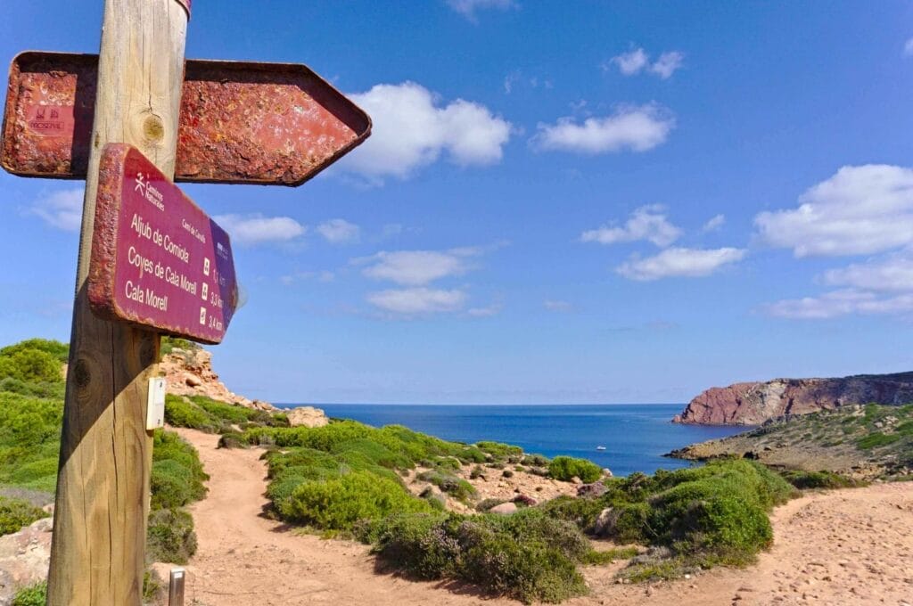
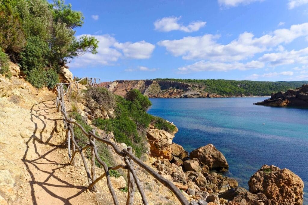
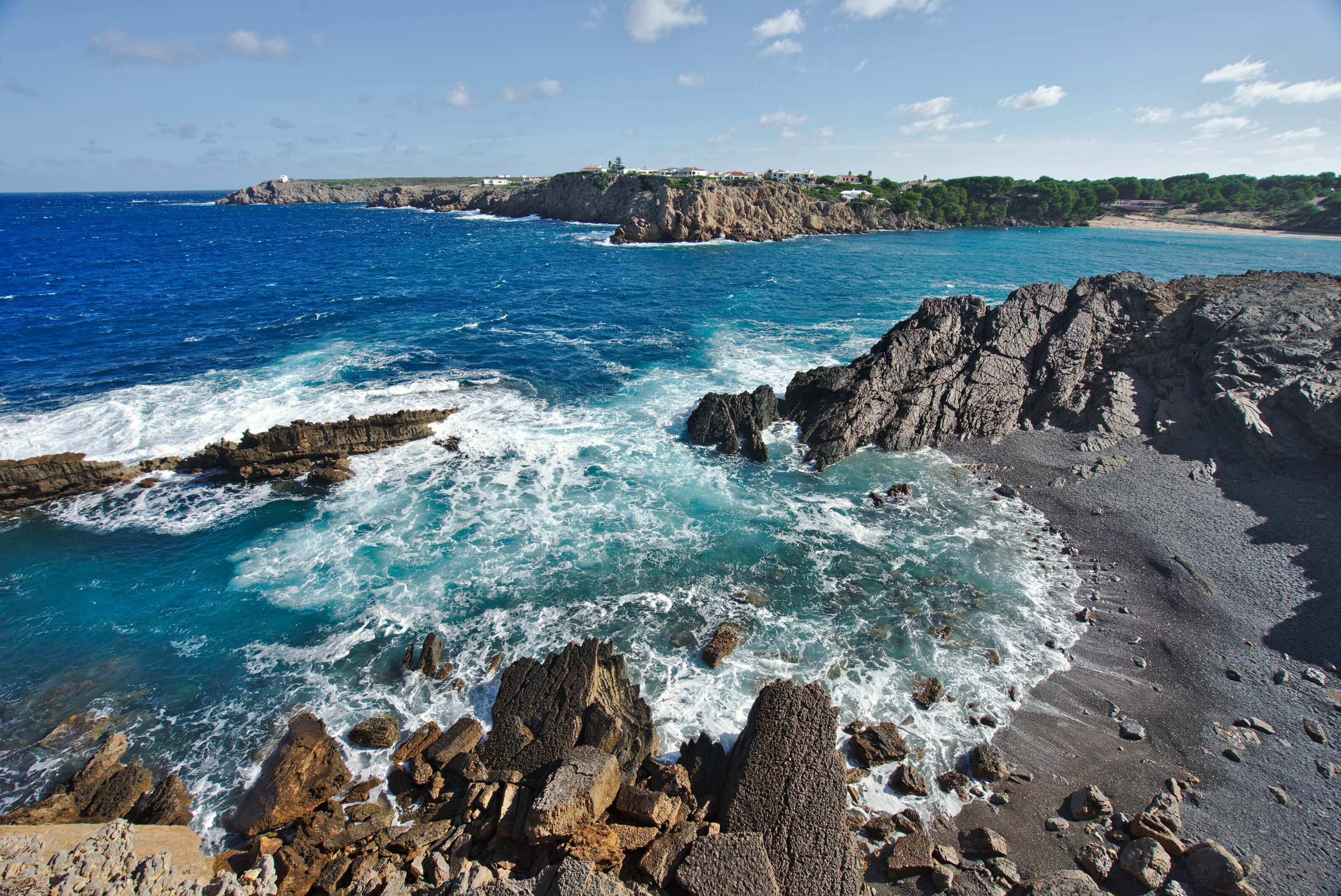
We already introduced the famous Cami de Cavalls in our article on the southern Minorca hike. Up here, the coastline is more rugged and the scenery far more lush and colourful. We chose to tackle section 8 of the GR 223, between Cala de Algaiarens and Cala Morell. There are fewer beaches than in the south, but that doesn’t take anything away from the charm of this hike. And these are the stretches closest to Ciutadella on the northern side of the island.
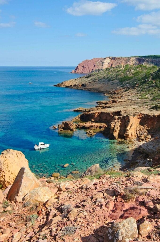
When we first looked into the Cami de Cavalls, we’d noted that the full loop around the island gains 4,000 m of elevation over 200 km, despite the highest point being a grand 125 m above sea level. After this day on the trail, we finally understood how that adds up. On the northwest coast, the path is rarely flat. The climbs are tiny, but you’re constantly alternating between walking right at the water’s edge and finding yourself perched a few dozen metres above a cove.
La Vall de Algaiarens
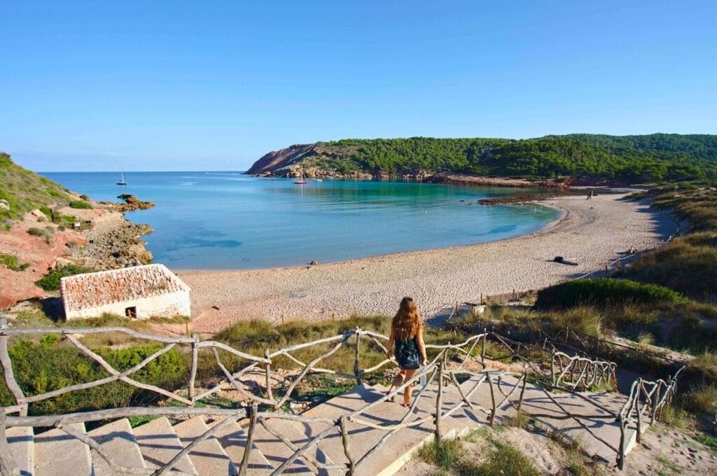
We arrived at Algaiarens by bus just before 10 a.m. There were exactly four of us on board: the driver, the two of us, and a Spanish woman coming to enjoy the beach. Mid-October is already low season in Minorca, but we still weren’t expecting to have the beach practically to ourselves!
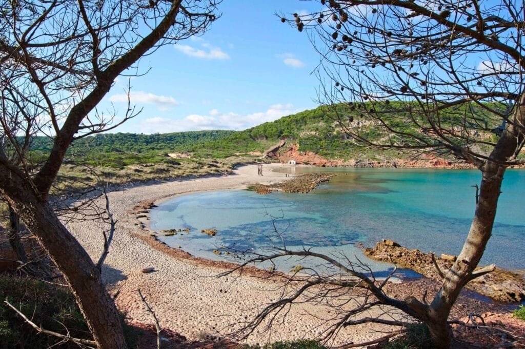
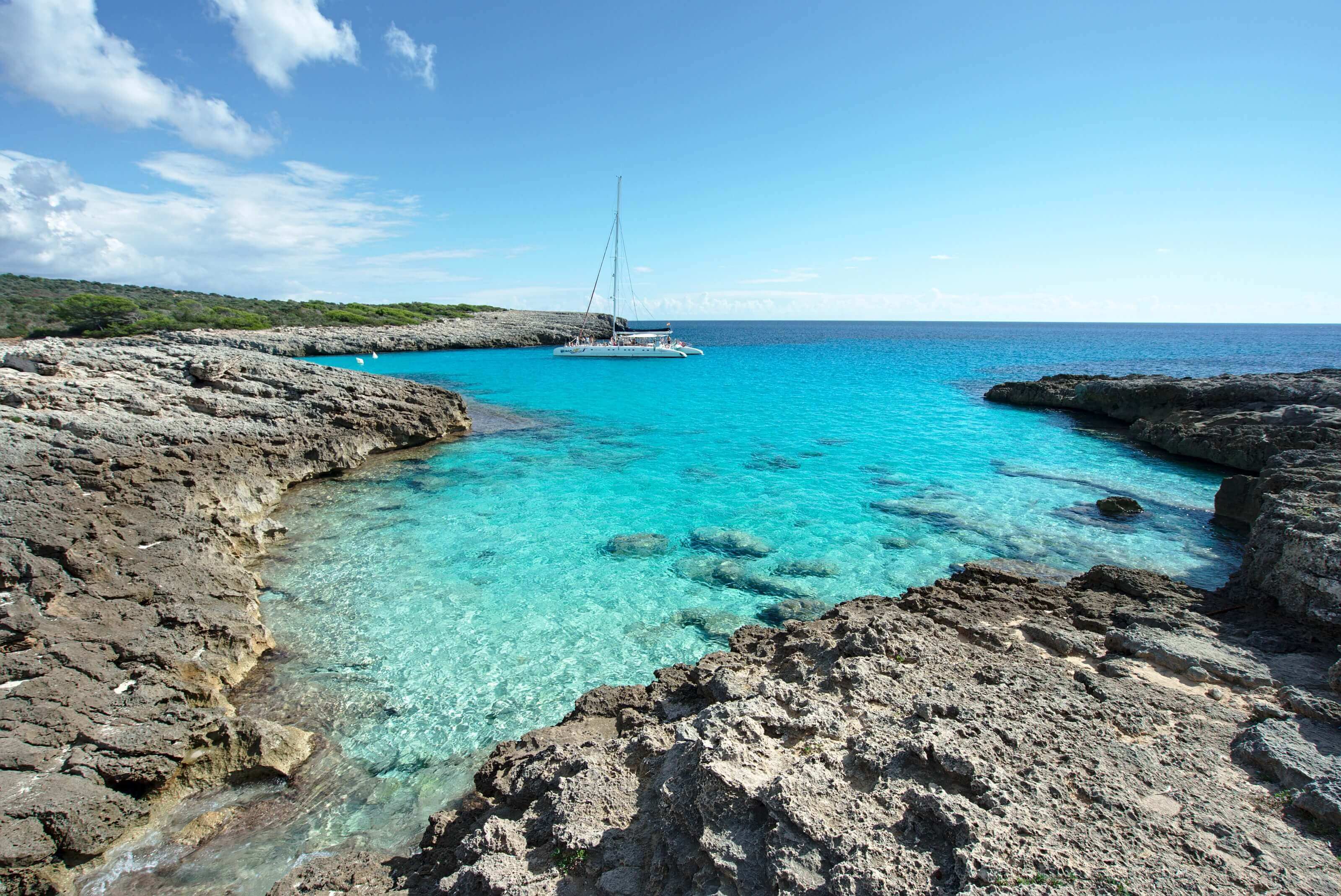
Before starting the hike proper, we walked along the beach (Platja des Tancat) all the way to Platja des Bots, a small beach a good hundred metres further west. (All the practical details are further down in the article.)
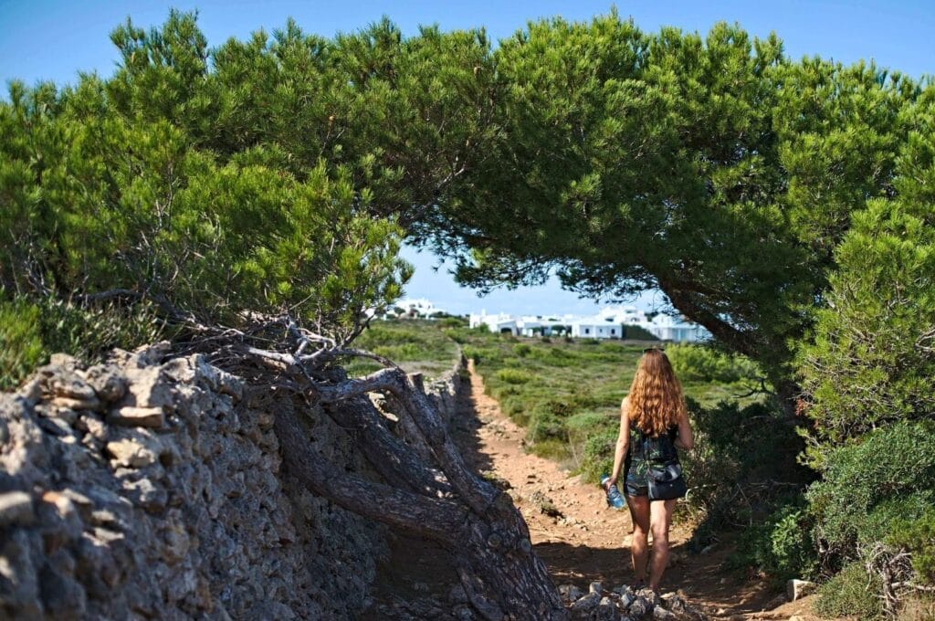
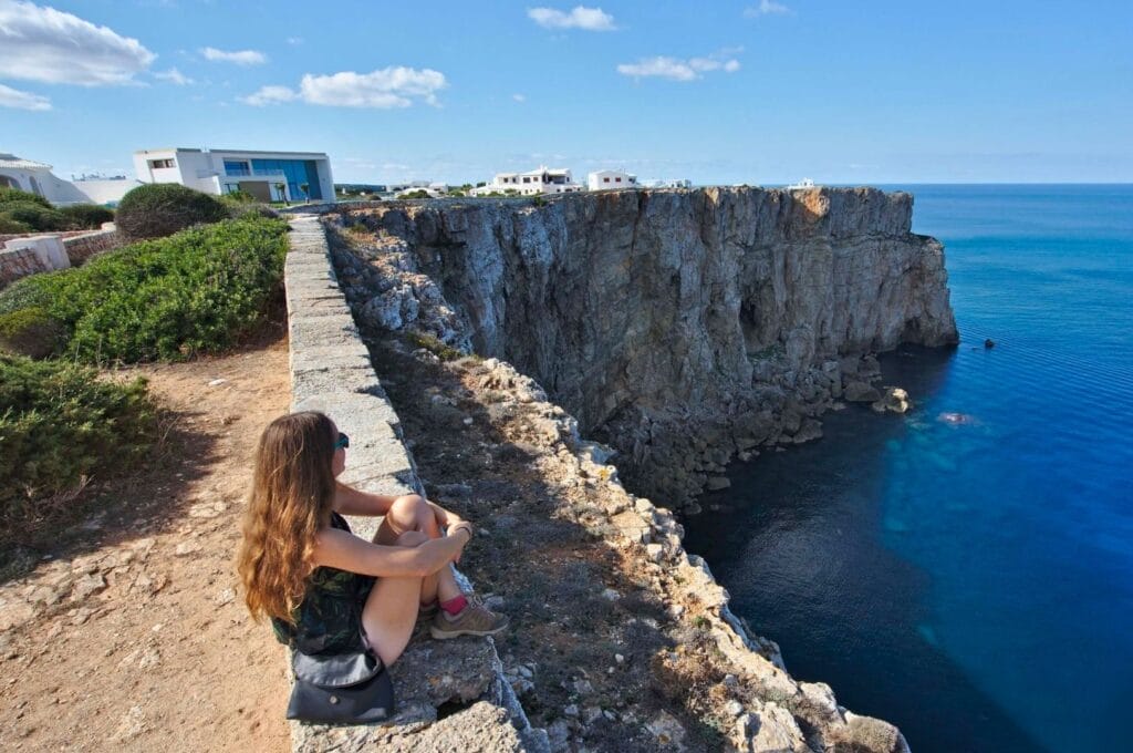
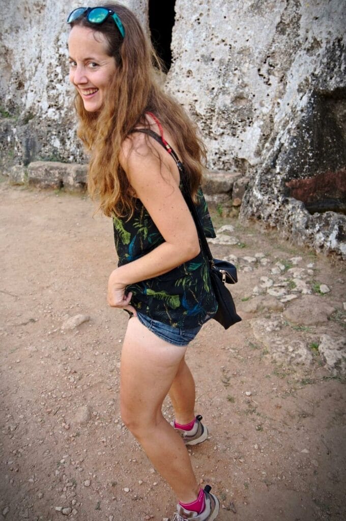
Back at the Vall de Algaiarens car park, we spotted an old rusty signpost pointing toward a narrow path that looked neither well used nor particularly well maintained. Needless to say, the prospect of a viewpoint over the cove was more than enough motivation! The path itself was in pretty rough shape — nature had clearly been reclaiming it, with branches poking out everywhere and a fair few impressive spiderwebs strung across the way. In situations like that, there’s really only one solution: I send Benoît ahead to walk into every single web, watch him grumble and flail about, and enjoy my clear passage behind him :).
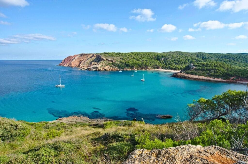
The climb takes all of ten minutes and is absolutely worth every step. The view is stunning, and as is so often the case, the colours of the water are even more striking when you gain a little height!
Once back down, we set off on the hike we’d actually planned. (Yes, we do have a tendency to wander off whenever the scenery gets good…)
Cala Morell
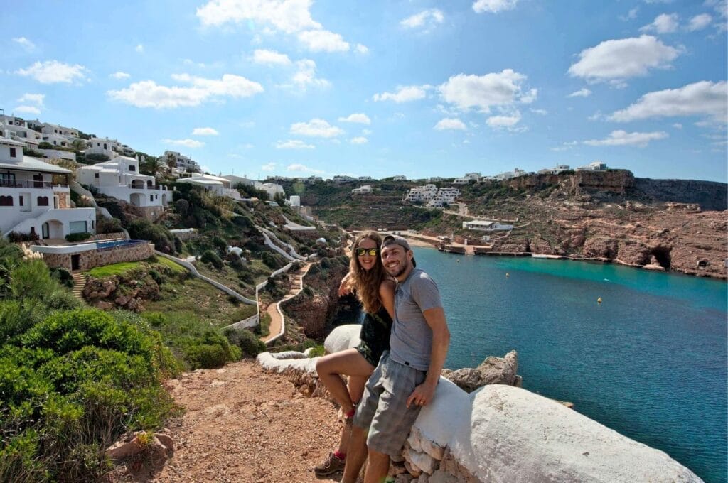
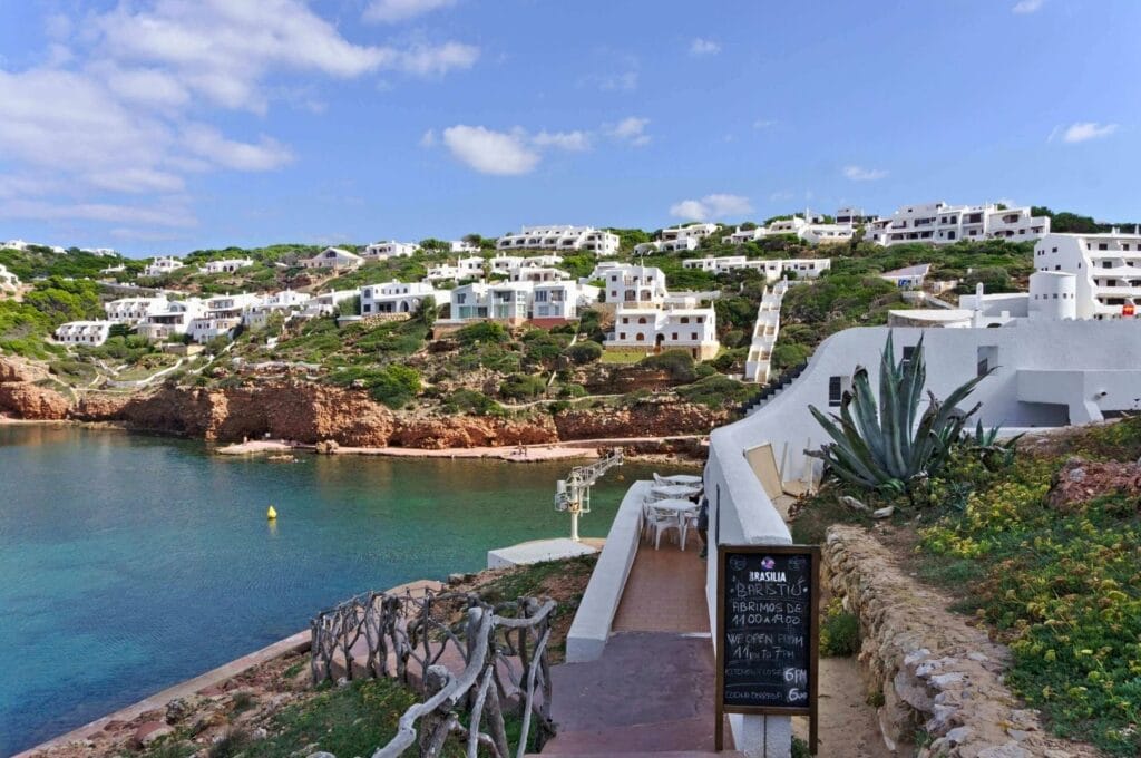
Nearing the end of the hike, we followed the Cami de Cavalls away from the coast and toward what we could see were the first white houses of Cala Morell. From a distance, the impression was charming: white buildings perched on a clifftop, and we were already thinking, “Oh, what a cute little village!”
Well… As we got closer, we quickly realised these were actually enormous luxury villas, completely deserted! Not a soul in sight. The only sound was the faint trickle of infinity pools. To be fair, those luxury villas are sitting in an absolutely dream location!
As we made our way toward what we assumed would be some kind of village centre, it became clear that Cala Morell is really more of a holiday resort of second homes than an actual village. There might well be some life here in peak season, but in October, it’s genuinely a ghost town. The only place showing any signs of life was a small restaurant overlooking the harbour, with maybe fifteen people at most, stopping by car to enjoy the view over some tapas. After a post-hike beer and a few more photos, we headed back on our way.
Visiting the Cala Morell necropolis
On the way to the bus stop, we made a small detour to what appears to be Cala Morell’s only official tourist attraction (beyond the beautiful views and the pretty cove, of course): the Cala Morell necropolis.
We’ll be upfront, history and us have never been the closest of friends, and prehistoric history even less so! For fellow non-experts, this necropolis is essentially a small “village” made up of caves carved into the rock. What’s pretty mind-blowing is that these caves date back to 1700 BC!
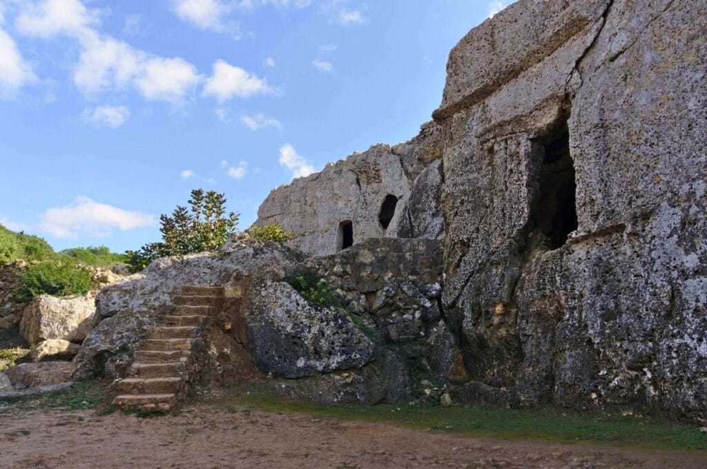
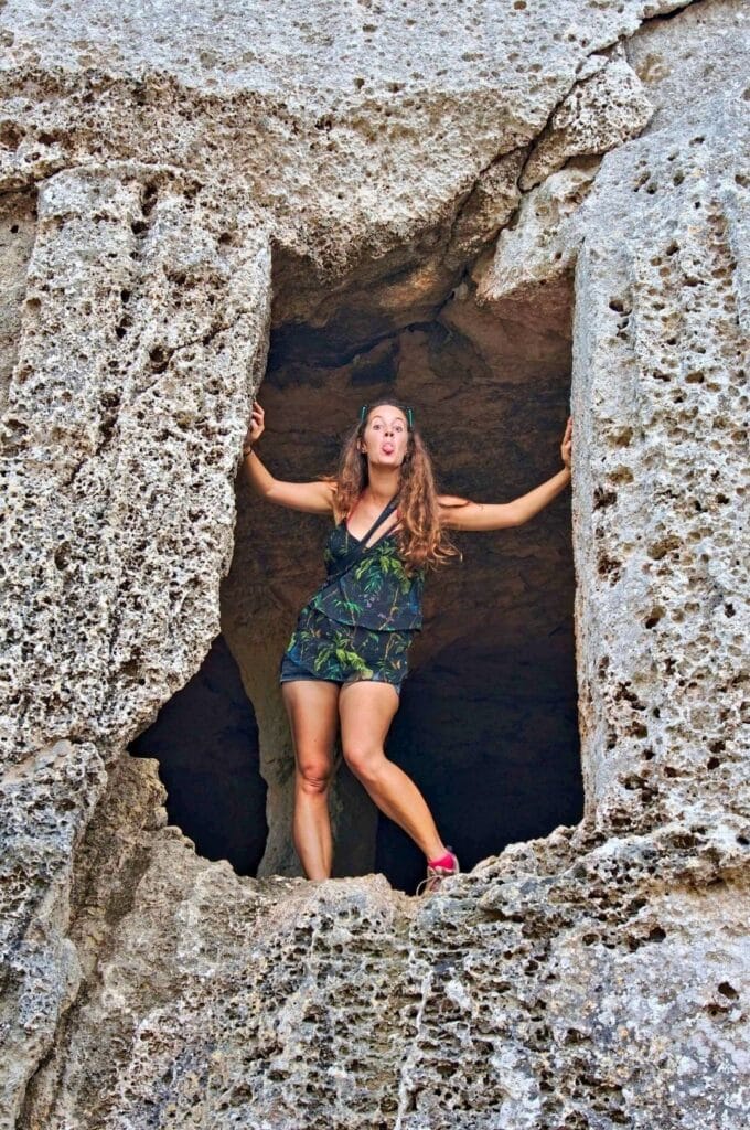
Entry is free and you’re welcome to wander around and inside the caves at your own pace. Our inner adventurers had a great time exploring the site. And for those who are genuinely into ancient history (or those who, like us, know nothing but enjoy learning), there’s a marked trail with information panels throughout. Allow around 15-20 minutes for the visit.
Practical information: Algaiarens to Cala Morell hike
The hike between La Vall and Cala Morell is genuinely easy and suitable for all levels. It follows the GR 223 trail and hugs the coastline for almost the entire route. Here’s everything you need to know!
At a glance
- Distance: around 11 km (including short detours for viewpoints)
- Walking time: 2.5 to 3.5 hours
- Getting to the start: If you’re driving, there are car parks at both La Vall and Cala Morell. That said, we’d recommend taking the bus: it saves you having to double back to pick up your car. From Ciutadella, bus 62 runs a loop Ciutadella – Cala Morell – Algaiarens (La Vall) – Ciutadella. Note that this bus doesn’t run year-round and only has 3–4 departures per day. Check the timetable here. We took the morning bus from Ciutadella and returned on the mid-afternoon one. The fare from Ciutadella to Val Algaiarens is €3.05, and from Cala Morell to Ciutadella it’s €1.95.
- Direction: You can do the hike in either direction. We chose this way around so we could have a drink while waiting for the bus, as the Algaiarens beach is completely unspoilt with no café or shop on site.
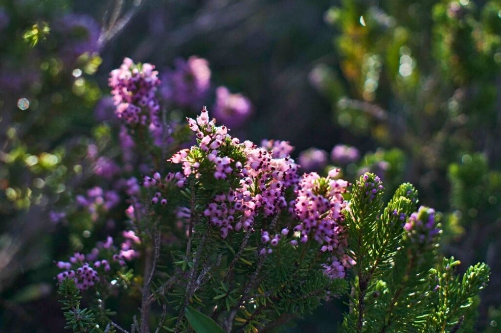
- Weather: We really can’t recommend October highly enough for hiking in Minorca! It’s already low season, which means lower prices, uncrowded beaches, and reliably beautiful weather. And for swimmers, there’s no need to worry: the sea is still wonderfully warm, around 22°C.
Map of the hike
The map below shows the route we followed, including bus stops.
Where to stay
While Cala Morell is mostly made up of second homes, there are a few accommodation options on site. Alternatively, you can base yourself in Ciutadella as we did, it worked out really well ;)! We’d suggest comparing prices online or browsing the map below, where you can filter by price and accommodation type.
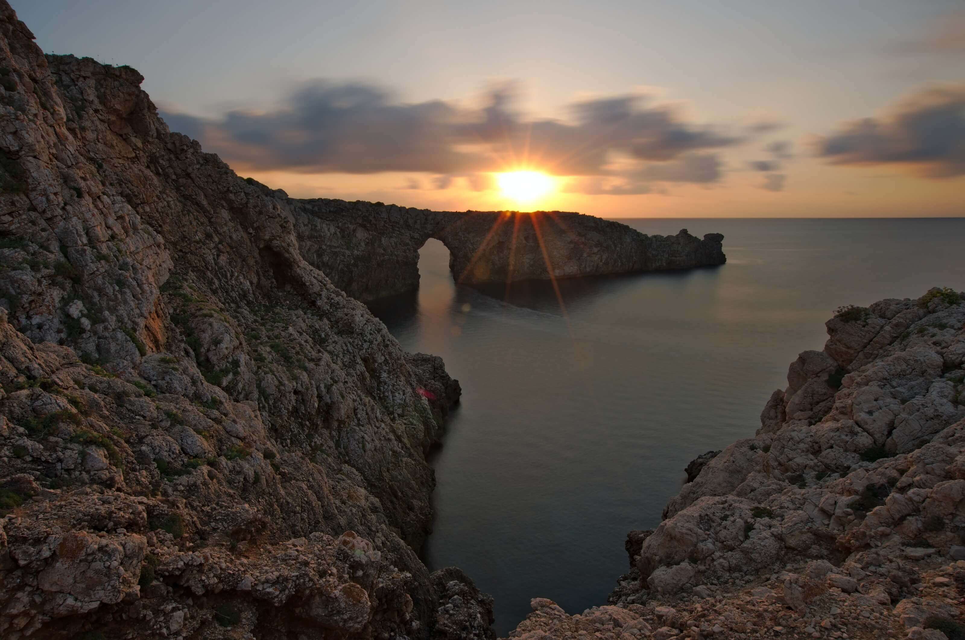
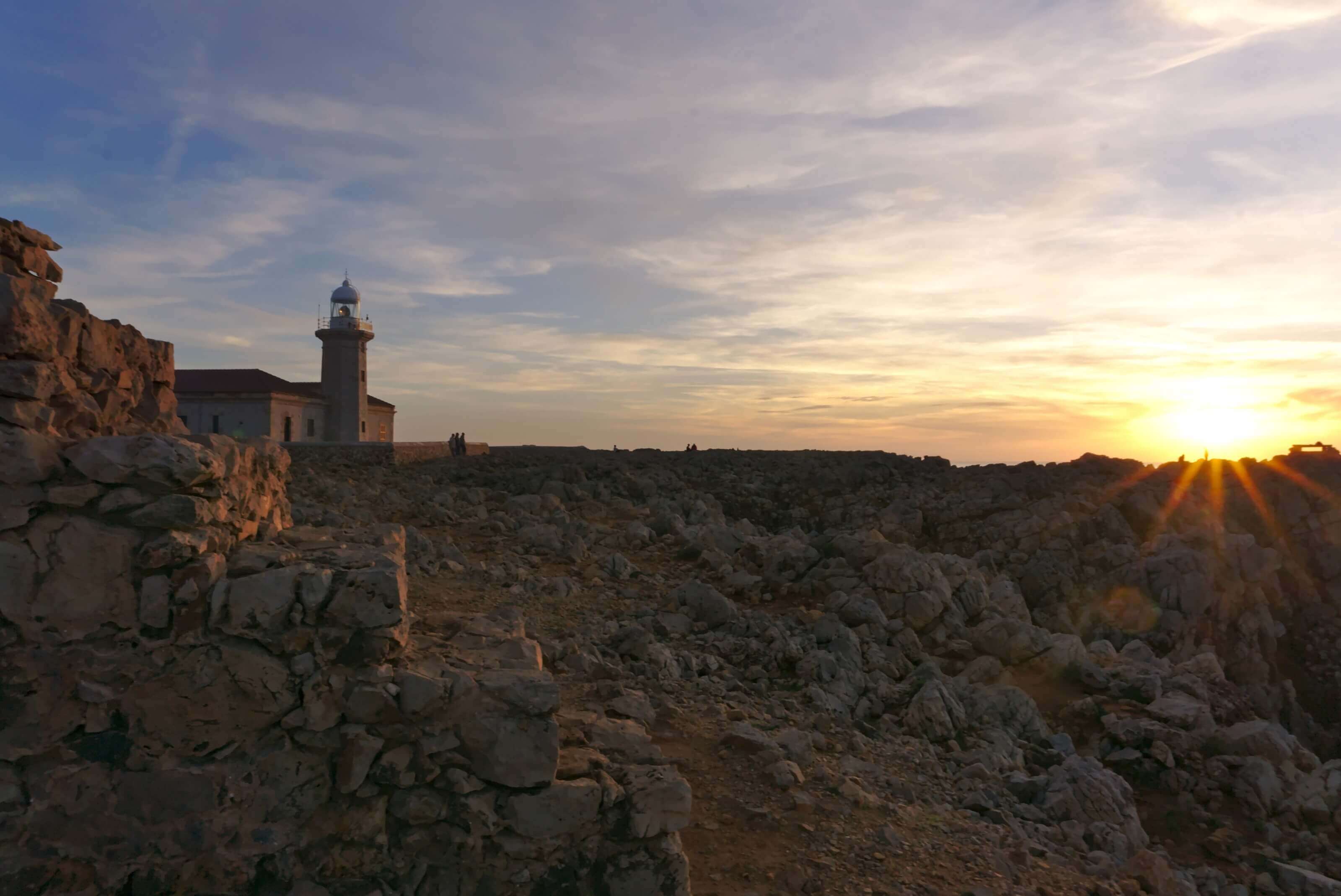
And that’s a wrap for the northwest coast and this stretch of the GR 223! We’re continuing our exploration of Minorca with its spectacular sunsets.
Note to myself:
I think it’s high time we set the hiking aside for a bit and gave the beach a proper chance.
Because the hiker’s tan is all well and good, but it’s starting to get a little extreme. And don’t even get me started on the sock marks… Thanks a lot, Via Alpina.
!Hasta pronto¡ Sending you sunny kisses that smell of tapas (and red wine) ;).
Pin it

Join the discussion