After a fairly gentle start to our trip through Turkey, visiting some beautiful (if quite crowded) sites like Ephesus and Pamukkale, it was time to stretch our legs a bit and make the most of Turkey’s pleasant May weather. As you may have noticed, we often set off on multi-day hikes with our gear on our backs because the slower pace of trekking forces us to take the time to soak in the scenery, meet people, and get away from the crowds. It’s also a good excuse to unplug from our laptops for a while, which never hurts ;). It was with this urge to get lost in Turkey that we went looking for a beautiful Turkish hike we could do over a week. That’s how we stumbled on the Lycian Way, or Likya Yolu in Turkish! Here’s our practical guide along with the story of one of the most beautiful long-distance treks in the world!
- What exactly is the Lycian Way?
- Video of our trek on the Lycian Way
- Practical info for preparing for the Lycian Way
- Day 1: Fethiye – Kayaköy – Ölüdeniz – wild camp
- Day 2: Kirme – Faralya – campsite
- Day 3: Kabak – Alinca
- Day 4: Alinca – Bel
- Day 5: Bel – the huge beach of Patara
- Day 6: Visiting the ancient cities on the Lycian Way
- Our take on these 6 days on the Lycian Way
What exactly is the Lycian Way?
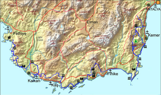
The Lycian Way is a hiking route that stretches over 400 km between Fethiye and Antalya in southwestern Turkey. This trek is a fairly unique combination of Mediterranean scenery along the Turquoise Coast, mountainous stretches, paradise-like beaches, and above all, ancient Lycian ruins dating back more than 2,000 years. This route, the first of its kind in Turkey, we owe to Kate Clow, an Englishwoman living in Antalya with a passion for hiking and history. She was convinced that Turkey deserved long-distance treks, even though Turks weren’t particularly known as avid hikers at the time.
Video of our trek on the Lycian Way
Beaches, mountains, turquoise waters, ancient ruins. All far from the crowds. That was all it took to convince us to tackle a section of the Lycian Way. So we decided to set off from the small seaside town of Fethiye and hike for about a week. There were still other places we wanted to see in Turkey, so we couldn’t dawdle too long ;).
As you’ll see below, the Lycian Way didn’t disappoint, far from it! If you’d like a preview in pictures before diving into the practical info, Fabienne put together a short video of our 6 days on the Lycian Way.
Practical info for preparing for the Lycian Way
Of course, before setting off on a multi-day hike in a country you don’t know and whose language you don’t speak, you need at least some preparation. But don’t worry, this trek doesn’t require anything too elaborate. We’ve compiled all the useful, practical information before you lace up your hiking boots ;).
Itinerary of the Lycian Way
It’s simple: to avoid getting lost on the Lycian Way, you’ll need an app on your smartphone. We used TrailSmart, but it no longer exists today. Nowadays, you can choose between the LycianWay app and TrailEasy (where you plan your own route, like here), both free. Both databases are extremely thorough and regularly updated. Honestly, with that in your pocket, there’s no way to get lost!
We also used our beloved Maps.me (or Organic Maps, whichever you prefer) on top of that. It sometimes has info on wild camping spots or viewpoints that aren’t in the apps (see our first-night camp spot).

As a “simpler” alternative in terms of ease of use, we recommend the excellent AllTrails app.
We’ve used it daily for our hikes since 2019. You can also import our tracks and/or easily create your own. To download our routes (over 30 available formats), you just need to create a free account. To access them offline, you can either upgrade to an AllTrails+ account (€20/year via this link instead of €29.90), or stay on the free plan and export the tracks as KML files to import into Maps.me.
Below is the full map of our route. You can download the GPX file from AllTrails by clicking below.
What’s the best time of year to do the trek?
The best months for walking the Lycian Way are probably spring (April–May) and autumn (September–October).
In summer, it’s too hot to set out on the trails, and accommodation prices spike during high season. Some sections are well shaded under pine trees, but on others you’re 100% exposed to the sun. And once the light sea breeze dies down, it turns into a real furnace. I’m not saying it’s impossible to do in June, July, or August, but let’s just say if that idea crosses your mind, be prepared to hike during the coolest hours by getting up very early, and above all, to carry a huge amount of water! Even in May, we struggled quite a bit with the heat.
And in winter, there can be snow on several sections of the trek, since some passes sit above 1,500 m in altitude (not the section we did, but further along).
As for the weather, the sun beats down hard and it rarely rains in the region. You’ll come to appreciate the shade of the pines or olive trees, trust me ;).
Accommodation
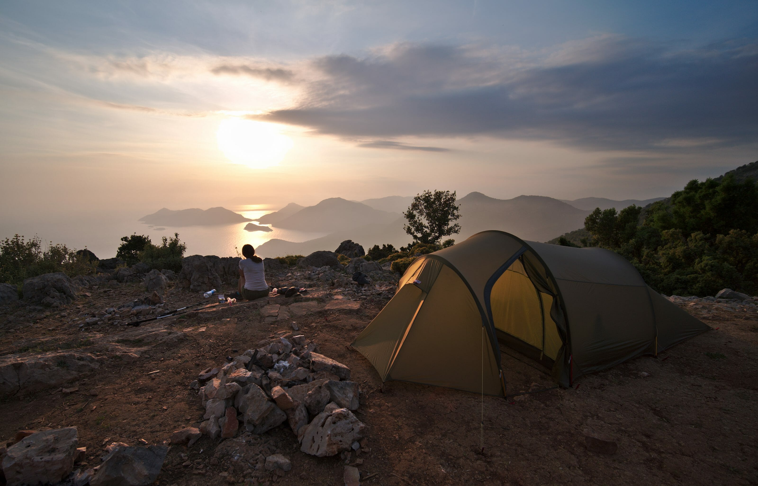
The Lycian Way can be done entirely without a tent, staying in village guesthouses along the way. We preferred to camp, hauling our camping gear with us. It has to be said, the wild camping spots we found and used along the way were pretty great. Honestly, it would be a shame to miss out on that, and it’s also a way to be more independent and spend less money!
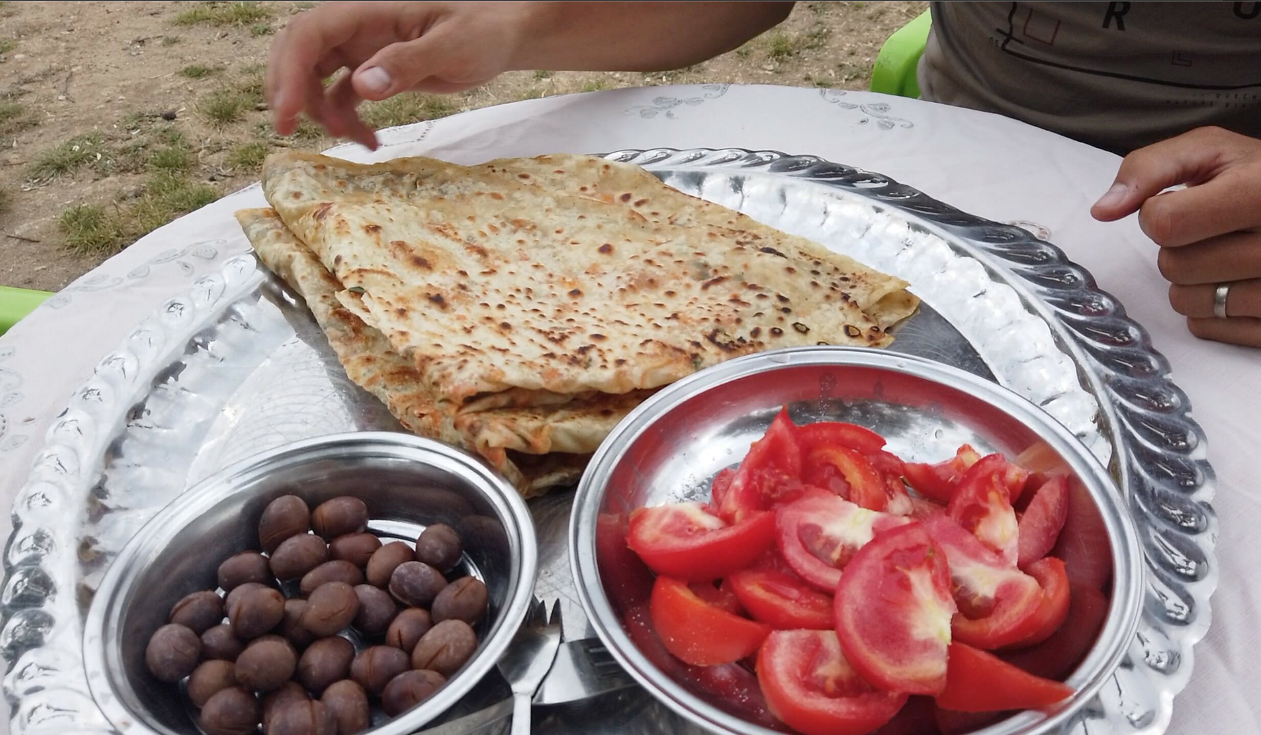
Food
As for food, there are quite a few mini-markets in the villages, as well as small restaurants. We’d planned for 4 meals plus lots of snacks, which also served as breakfast. Honestly, we could have brought less.
My advice would be to always keep at least 1 meal in your pack just in case, but generally you won’t have trouble finding something to eat along the way. So there’s no need to weigh yourself down with too much food, especially since a meal doesn’t cost much in Turkey, particularly in the small villages along the trek.
Water
When it comes to water, always make sure to carry a bit more than you think you’ll need. It can get very hot on the Lycian Way, and there’s almost no running water along the route. To give you an idea, it hit nearly 30°C in May when we were there! You can restock at village shops or fountains marked on the apps. But whenever we knew we might not have much water for the day, or we were planning to wild camp, we were careful and carried up to 3–4 liters of water per person. These days, we always hike with filtering water bottles. Thanks to them, you can drink water from pretty much any source (river, fountain, tap, etc.) as long as it’s clear.
Gear
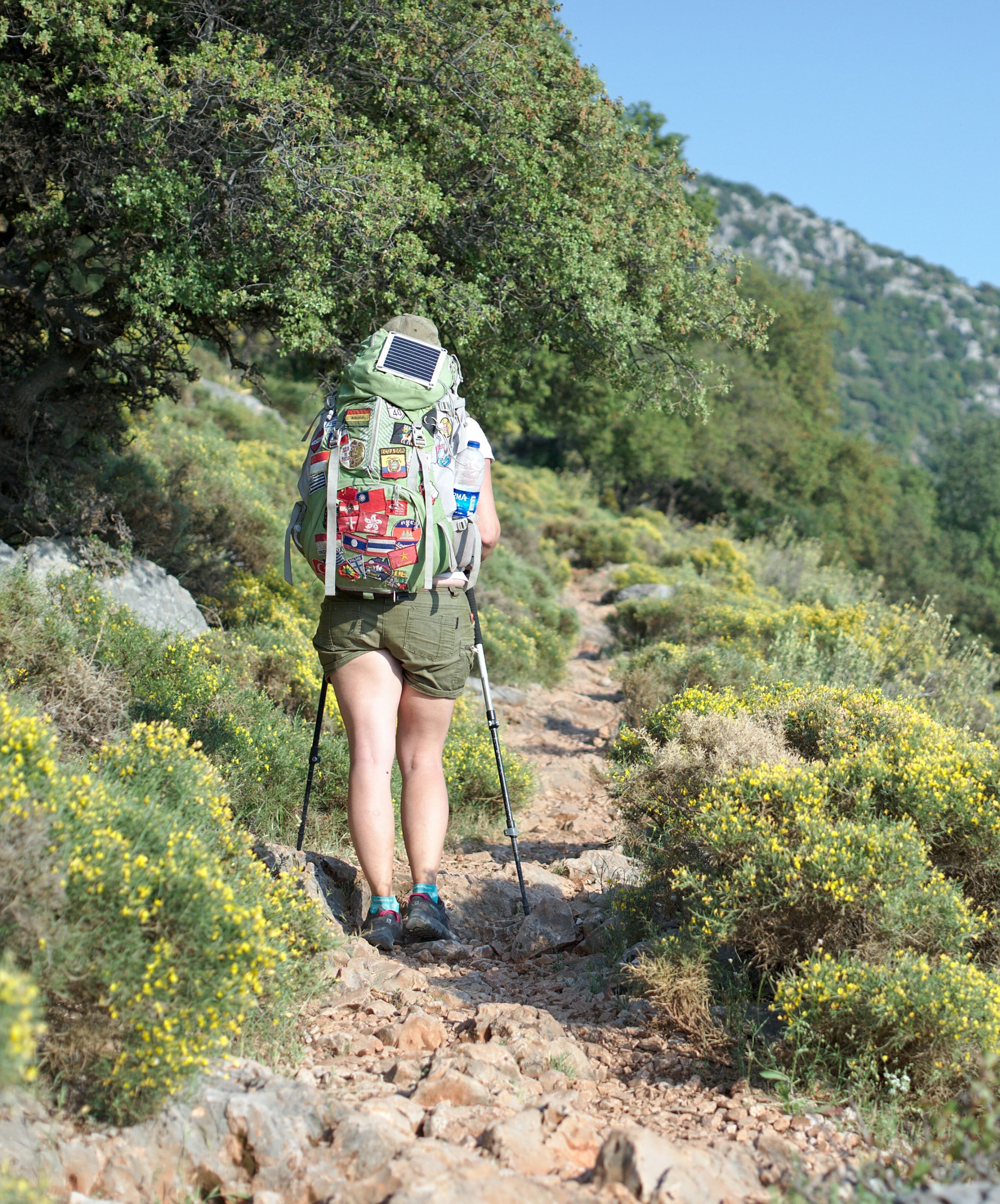
As for gear, I won’t give you a full rundown since there’s nothing particularly special to note. Honestly, we brought pretty much the same gear we’d taken for the Via Alpina. Here’s the full trekking gear list.
A few details worth mentioning:
- We didn’t bring a stove or cookware. Since we did this trek in the middle of a months-long trip, we chose to save that weight, figuring we could get by on cold food during treks. And on the Lycian Way, that’s no problem at all, since you can get hot meals in the villages along the route, and honestly, much better dishes than anything you’d cook on a camping stove ;).
- We hiked in low-top trail shoes and it worked out great. Again, since we did this trek in the middle of a longer trip, that type of shoe is more versatile for all kinds of situations. We actually wrote a comparison of the best trail shoes for hiking and traveling. But if you’re coming to Turkey mainly to do this trek, I’d think higher-cut hiking boots are better suited to this very rocky terrain.
Note: we left our big backpacks for free at the accommodation we rented in Fethiye.
What budget should you plan for the Lycian Way?
Budget-wise, we spent a total of €185 for 2 people over 6 days on the Lycian Way. That works out to €15.41 per person per day. At the time of our trip, in 2019, €1 was worth 6.8 Turkish lira (TL). That was before the lira took a nosedive. In 2026, plan for more like €30 per person per day. This budget includes:
- Shopping before departure for snacks, wraps, etc. (280 TL at that time);
- 1 night at a guesthouse in Alinca (250 TL for both of us, with dinner and breakfast);
- 2 nights camping (30 TL once, 70 TL another time);
- various meals, chai teas and groceries along the way;
- a few beers to reward ourselves after the effort (alcohol is quite expensive compared to the rest in Turkey, expect 15-25 TL per beer);
- a few entry fees at various historical sites;
- the bus ride back from Patara Beach to Fethiye.
Note: make sure to carry enough cash. There are few places to withdraw money during the trek, and card payment is rarely an option.
Day 1: Fethiye – Kayaköy – Ölüdeniz – wild camp
Day 1 at a glance
- Distance: 17.4 km
- Elevation: +1,160 m, -560 m
- Difficulty: fairly hard
- Duration: 6-7 h
Fethiye
Before tackling this famous trek, we spent a few relaxed days in Fethiye, splitting our time between work and evenings by the sea. (We’d rented a lovely apartment at the Artim Apart Hotel.) Once rested, we set off on our Lycian Way adventure bright and early, to make the most of the cool morning air. As always, when we head out on a multi-day hike, our packs feel like they weigh a ton. Especially since, just in case, we’d loaded up on quite a bit of food and 3.5 liters of water per person (which, in hindsight, wasn’t necessary).
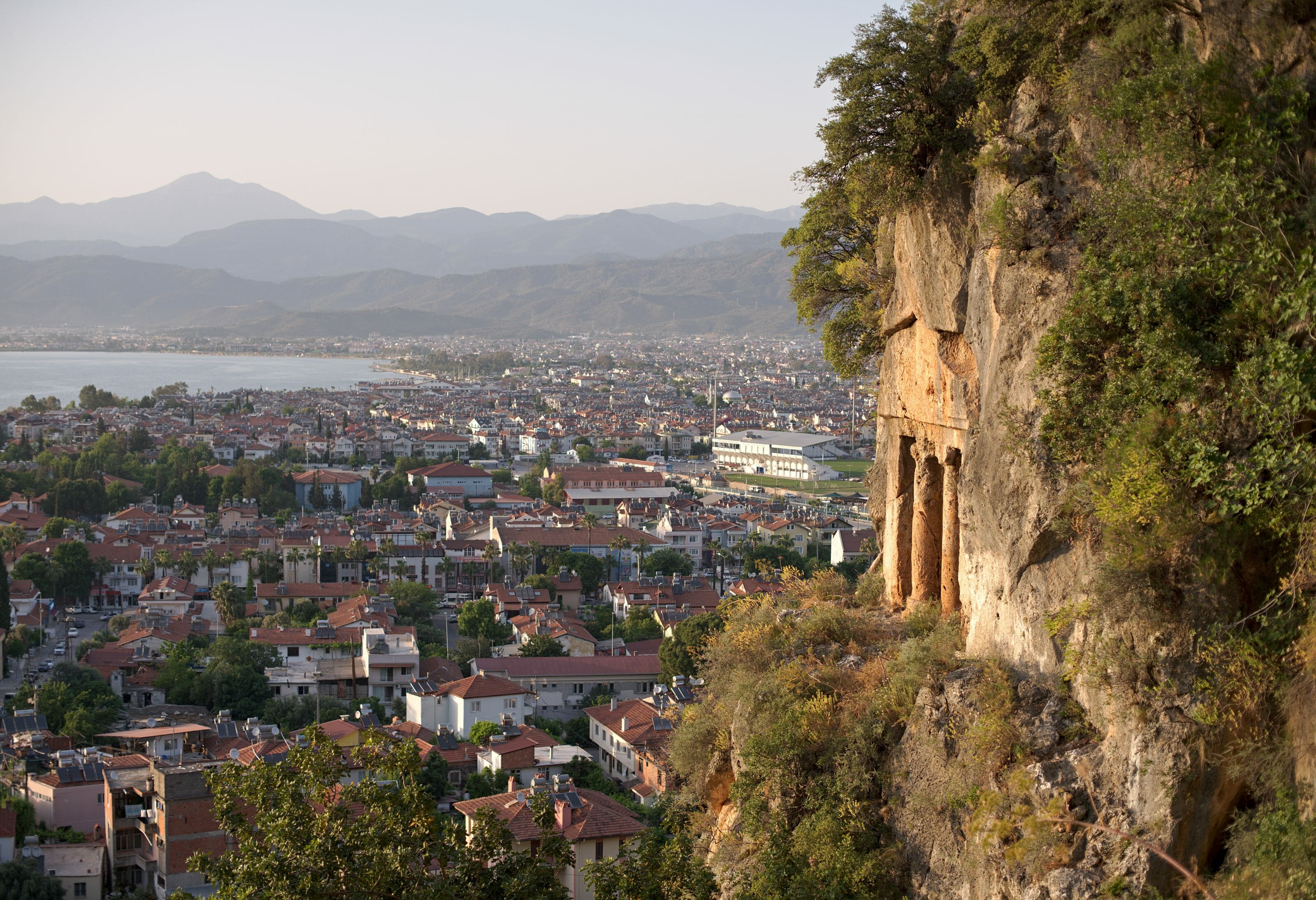
We start straight off with a solid climb out of Fethiye to warm up. A sign tells us we’re indeed at the start of the Lycian Way, even though the official starting point is actually in Ovacık. Looking back, we spot the enormous Lycian tombs carved into the cliffs above Fethiye. We’re immediately in the mood!
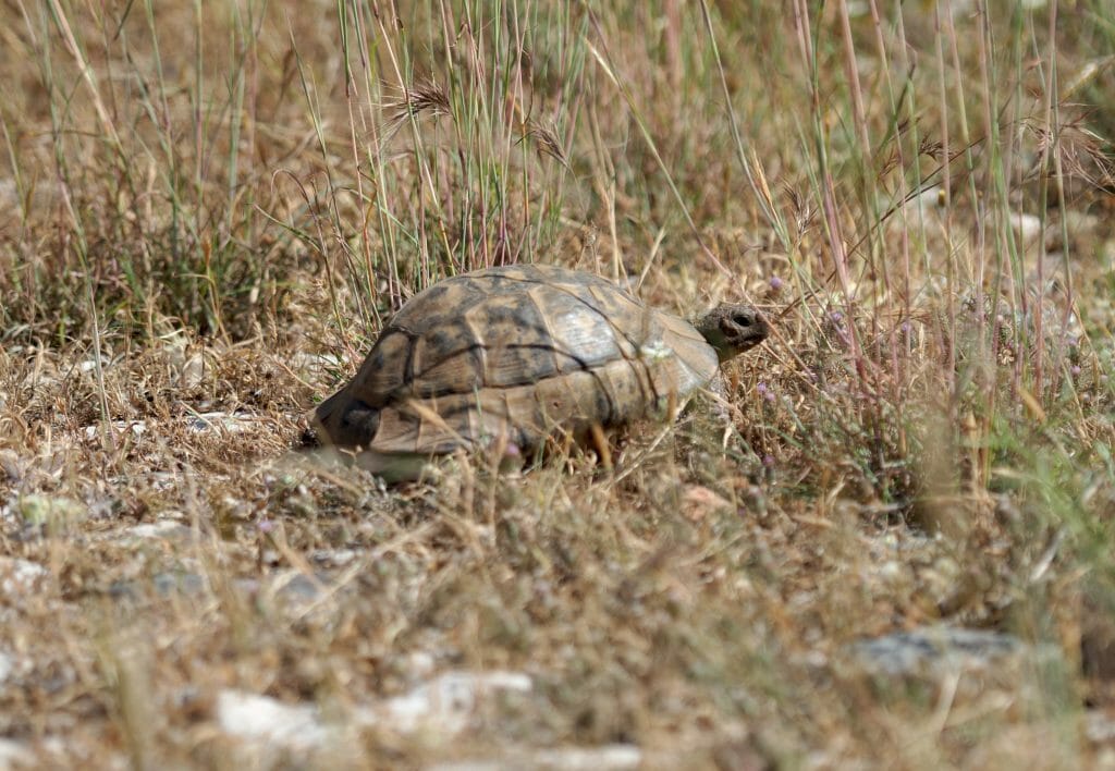
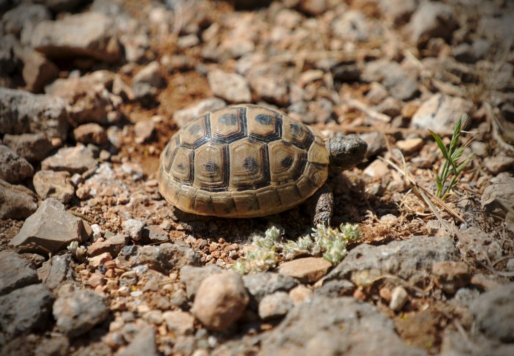
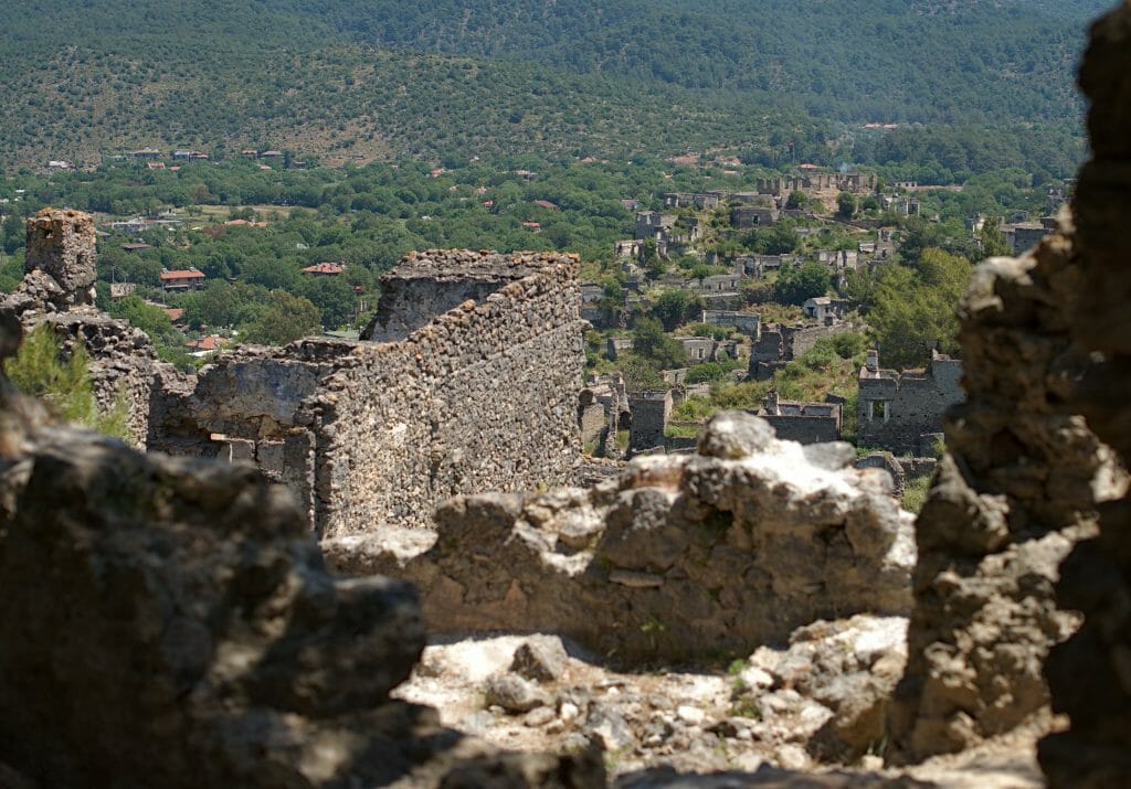
We walk along a mix of trail and road heading down toward Kayaköy and its ghost village. Honestly, this stretch to Kayaköy wasn’t the best. If you want to shorten this first leg a bit, you could take a dolmuş (local Turkish minibus) to the ghost village. Still, we did spot our first two turtles of the trek along the way, and the view of the abandoned village from the pass isn’t bad at all.
Visiting the Kayaköy archaeological site
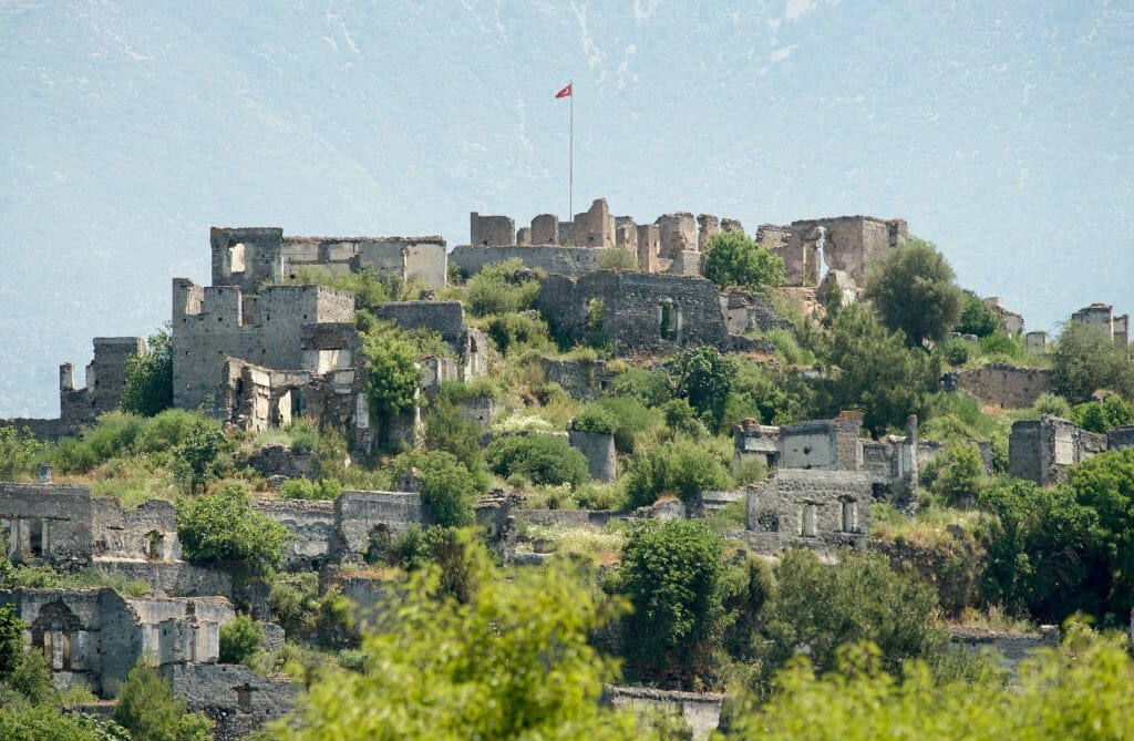
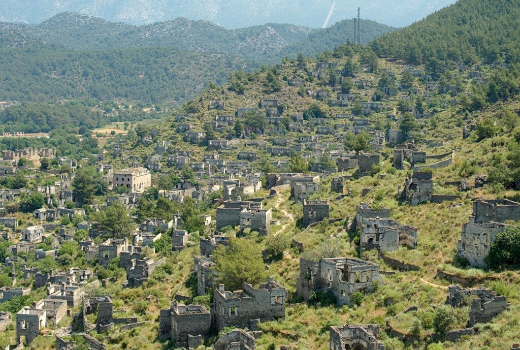
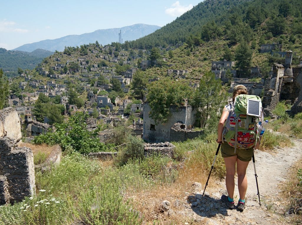
After paying €3 per person, we enter the ghost town of Kayaköy (or Karmylassos). The site is very impressive, with the ruins of several hundred houses covering the hillside. Kayaköy’s history (which was populated by Greeks before World War I) is actually very similar to that of the village of Şirince. Here too, in 1923, the Orthodox Greeks living in the village were forced to leave Turkey. Unlike Şirince, though, no one ever resettled there, and the village was later struck by a powerful earthquake in 1957. So all that remains today are the ruins of these homes, now preserved like an open-air museum. (Apparently, local authorities want to turn part of the site into hotels :(.)
Ölüdeniz
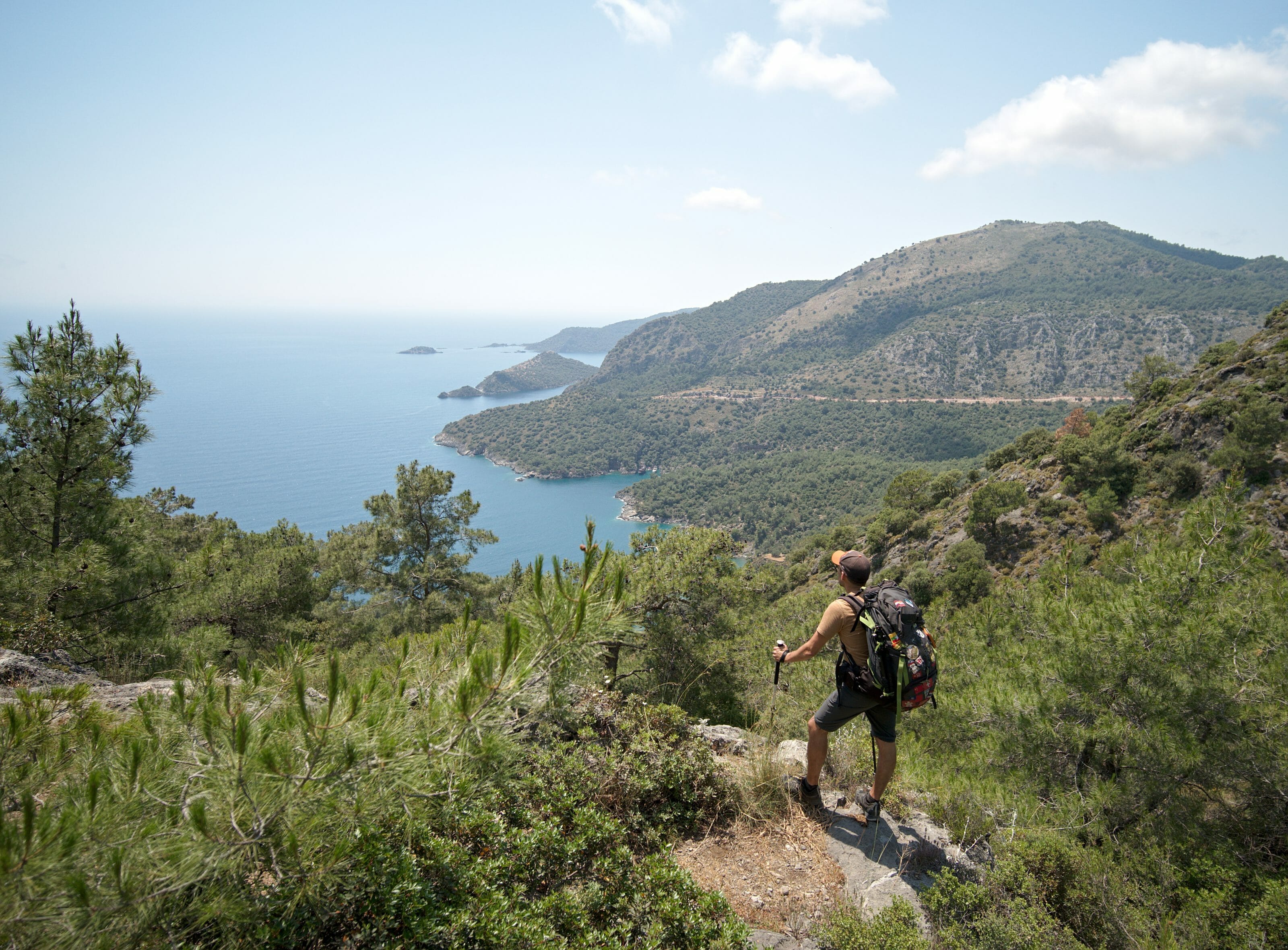
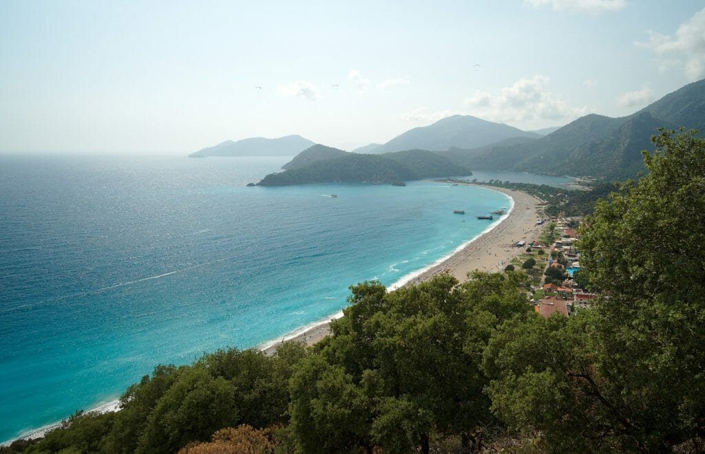
After thoroughly enjoying the site, we decide to take the alternate trail toward the seaside resort of Ölüdeniz. The path climbs behind the ghost village through the pines before descending toward Ölüdeniz, with some stunning viewpoints over the bay and beaches along the way. Honestly, we highly recommend this section. That said, the least we can say is that Ölüdeniz itself didn’t charm us one bit. It embodies everything we don’t like about this kind of beach resort.
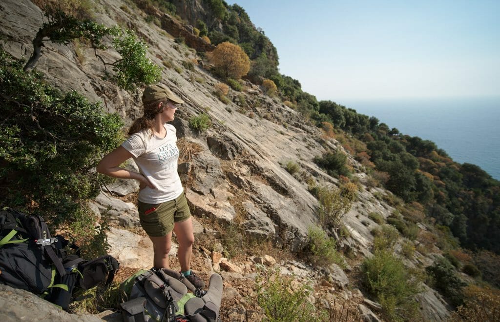
Instead of climbing back up to Ovacık for the night as the app suggests, we decide to follow a path marked on Maps.me. The trail climbs very steeply at the far end of the beach and rejoins the official Lycian Way route more directly. That saves us an unnecessary detour through Ovacık. We’d also spotted a camping spot on Maps.me 600 meters further up. So we set off on this trail, following the “green dot” markers. They appear every 10 meters, so if you stop seeing them, you’ve gone wrong ;).
It’s already 4:30 pm, the sun is still beating down, and we’re struggling with our heavy packs, especially since the climb is tough (you’ve been warned ;)). We also come face to face with our first snake of the trek, a striking black-and-white creature about a meter long. Maybe an Ottoman viper, based on our research? In any case, this one was in no hurry to get off the trail. We’re hoping we won’t run into too many more of these critters over the coming days!
Wild camp with a view of the bay
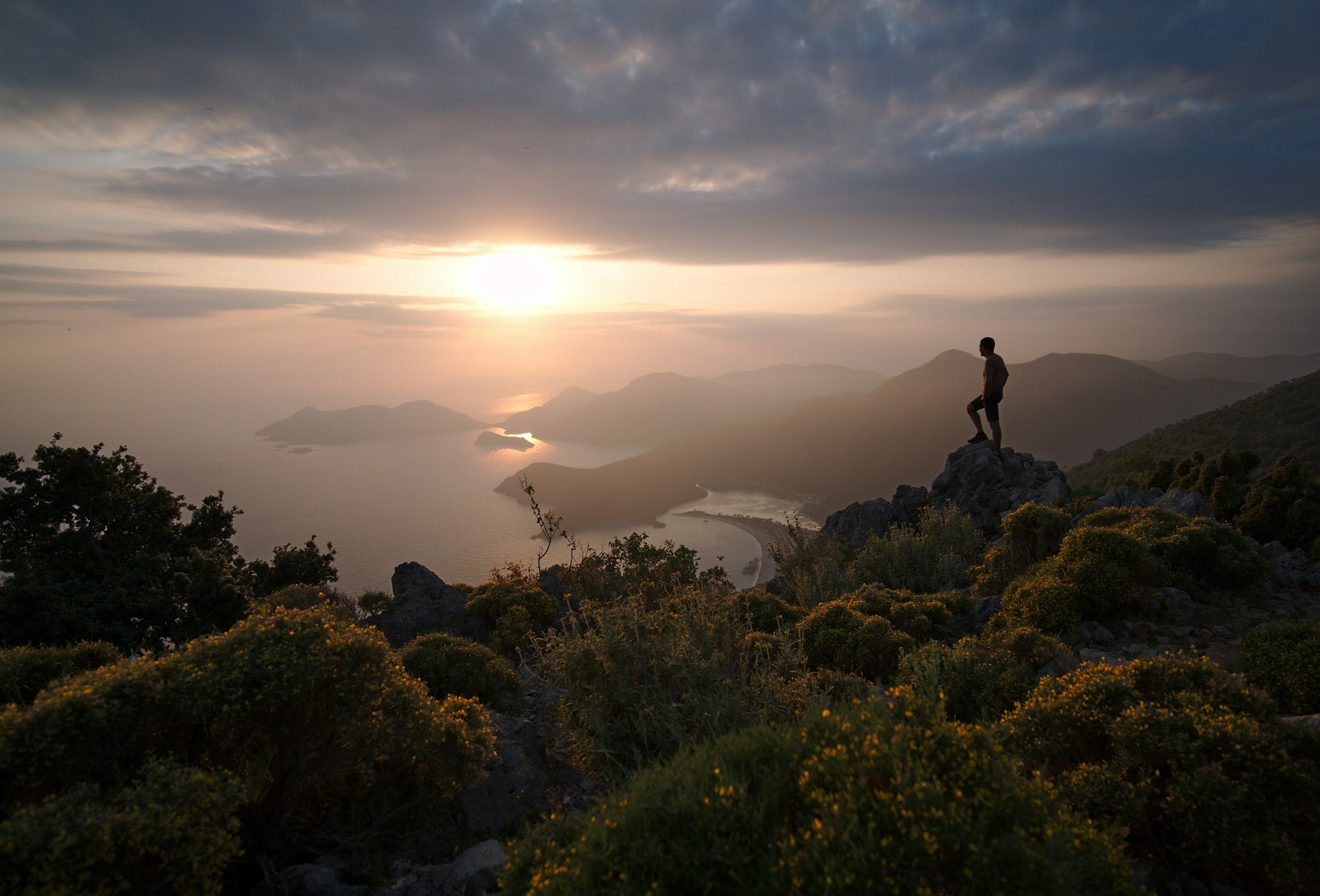
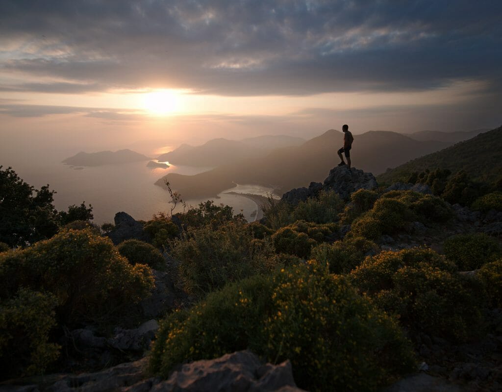
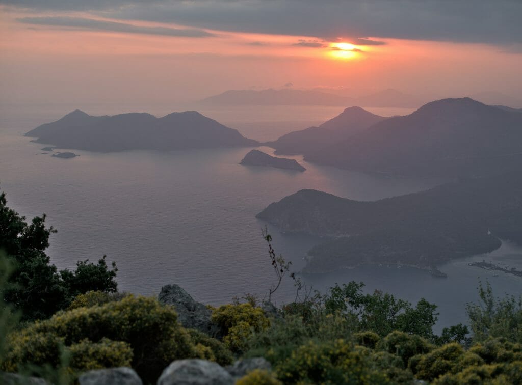
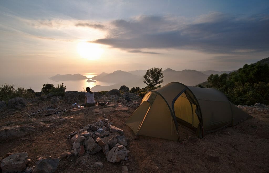
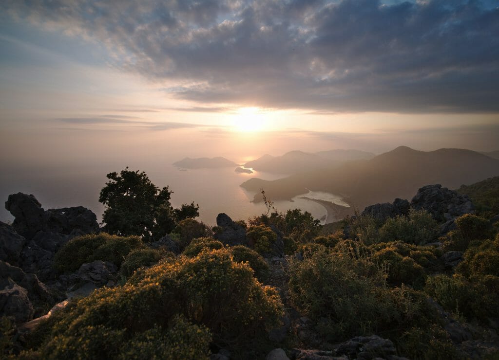
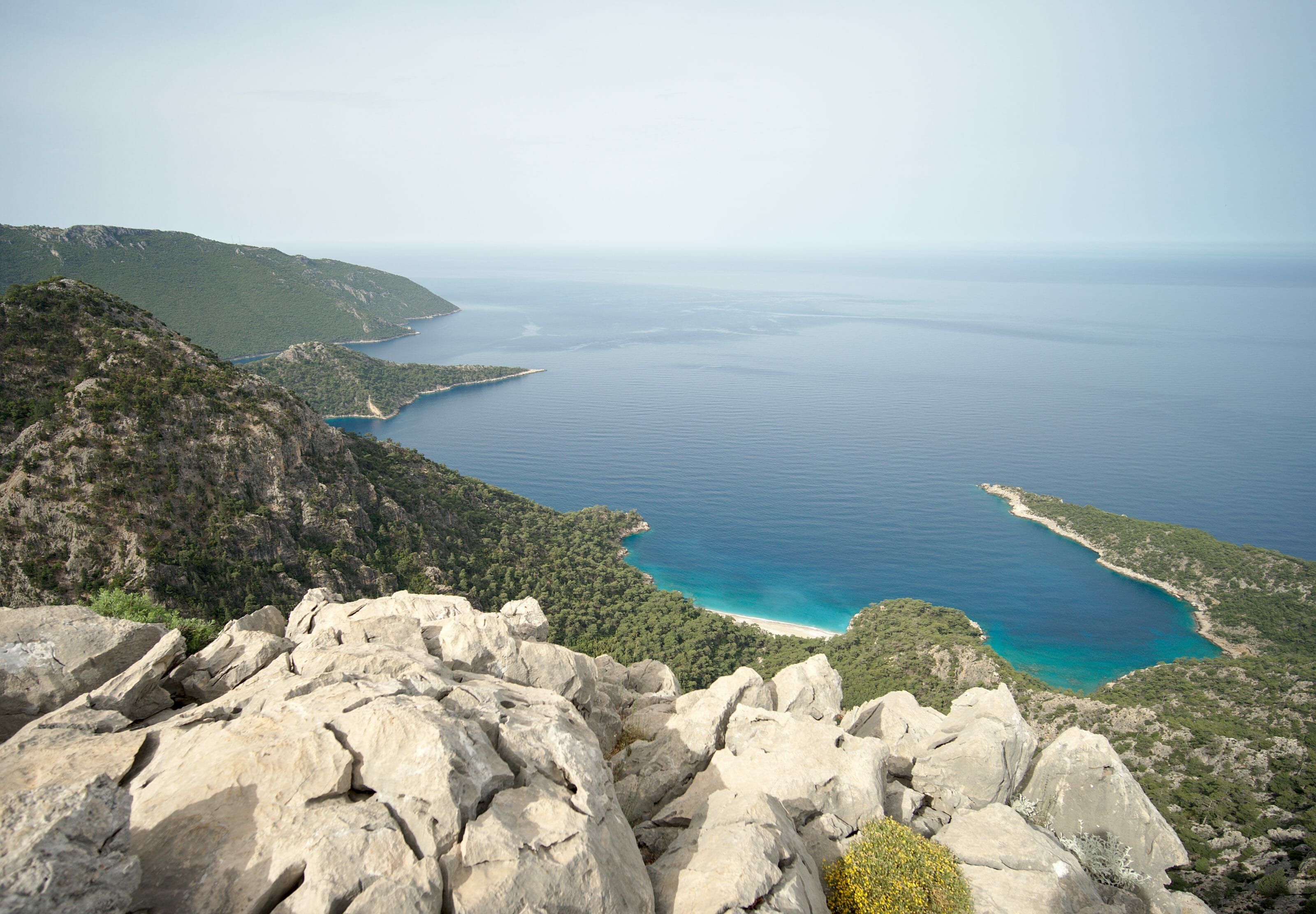
We’re really hoping the camping spot marked on Maps.me turns out to be good, because we don’t have the energy to go much further. At 7 pm, we finally reach the marked point, and let’s just say the effort was worth it. Without a doubt, it’s the most beautiful spot we’ve camped at so far. We have a completely unobstructed view over the entire Ölüdeniz bay, with the sun setting right in front of us. We quickly pitch the tent, eat, and watch the show until nightfall. We go to bed exhausted, but happy to be there.
Day 2: Kirme – Faralya – campsite
Day 2 at a glance
- Distance: 14 km
- Elevation: +346 m, -925 m
- Difficulty: moderate
- Duration: 5 h
So, it wasn’t the night of the century, because after going to bed we started hearing sounds of someone moving around our tent. Brave as we are, neither of us dared to get out and check, even though it kept us awake for a while. Probably just a shepherd passing by. So it’s a bit tired that we set off this morning to finish the climb toward Kirme. The climb goes noticeably better in the cool morning air, though.
Faralya and the Butterfly Valley
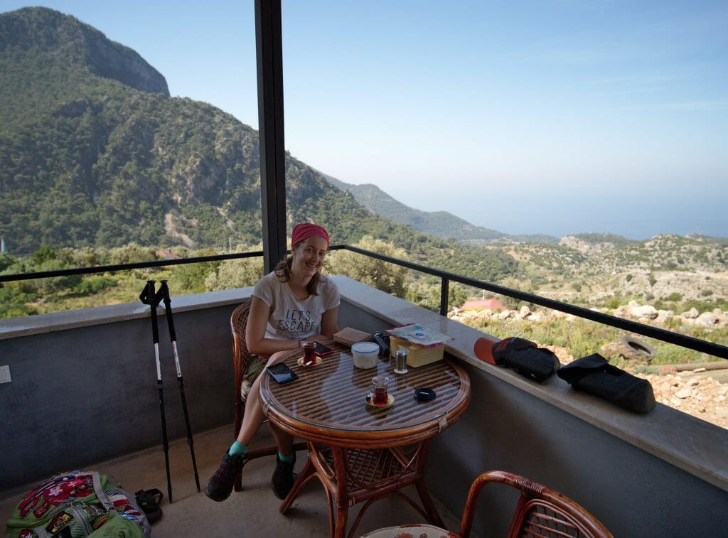
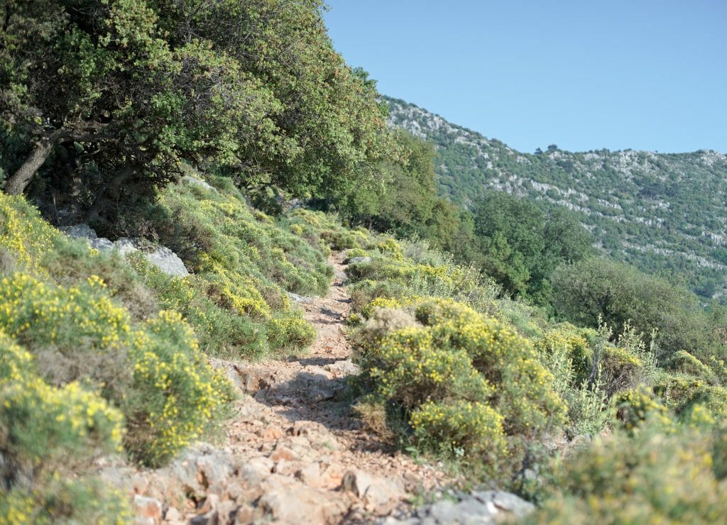
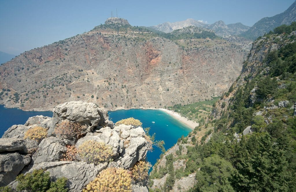
After a short chai and gözleme break (a kind of stuffed flatbread with cheese and spinach) at a small village restaurant, we start the descent toward Faralya, which we reach around midday. The village actually overlooks the Butterfly Valley, accessible either on foot from Faralya (you have to descend a very steep path using ropes) or by boat from Fethiye or Ölüdeniz. We decide not to go down into the valley (especially with our heavy packs), and instead take an alternate route to the Lycian Way, more scenic, that follows the coast to Kabak.
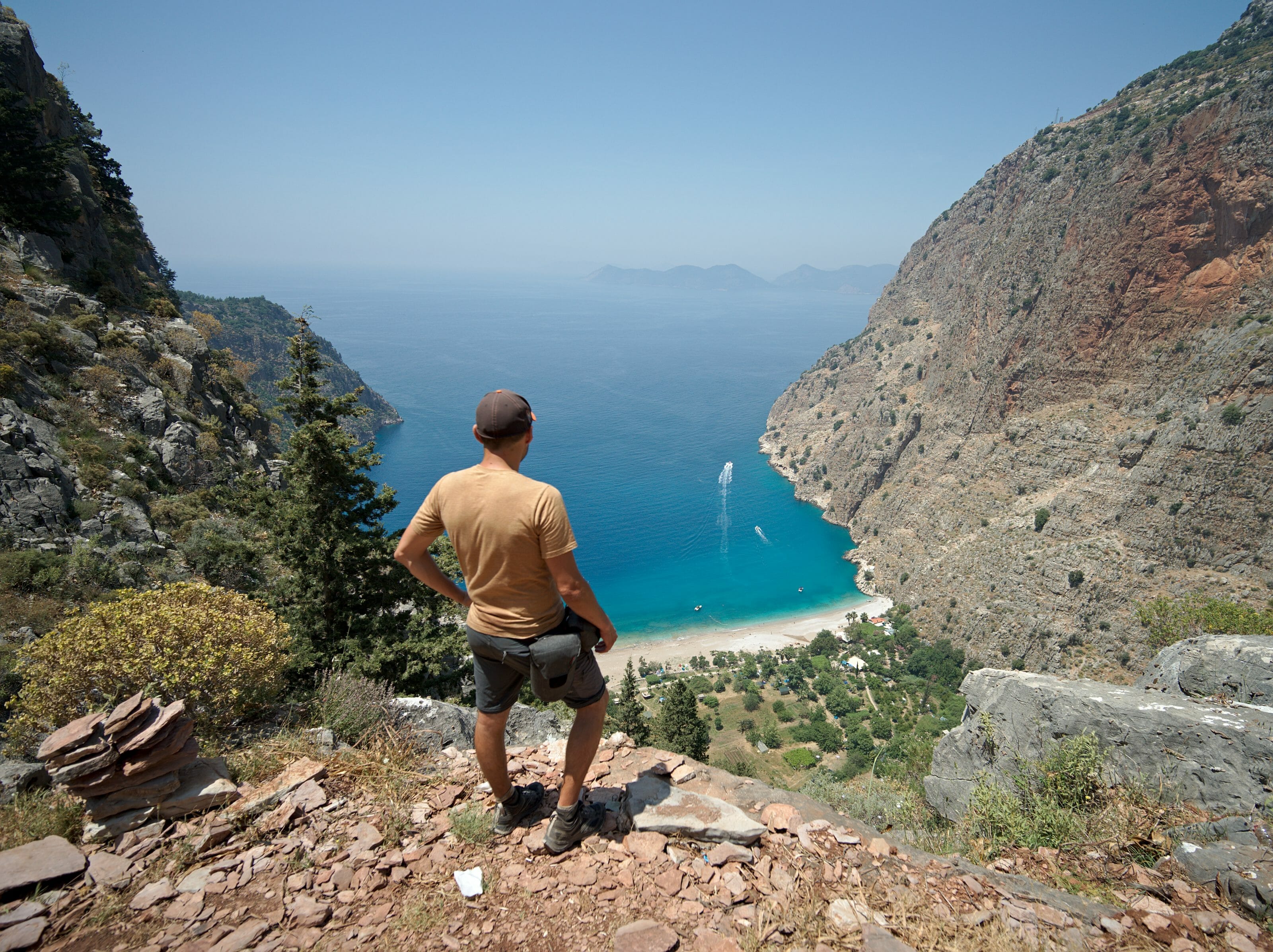
Night in Uzunyurt
We walk a good stretch on this trail, which offers spectacular views over the beach and the Butterfly Valley below. We even take advantage of a lovely spot with a view for our lunch break.
We continue on this alternate route through the afternoon. Some sections of this trail are a bit more challenging, but the path is well marked. We also encounter our second slithering, hissing creature of the trip, green this time, but this one doesn’t linger on the trail like the last one ;). Fortunately, the beautiful scenery quickly makes us forget the encounter.
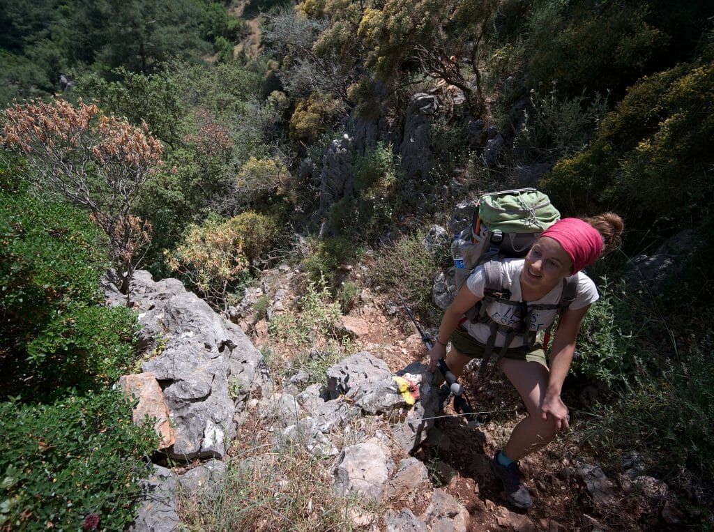
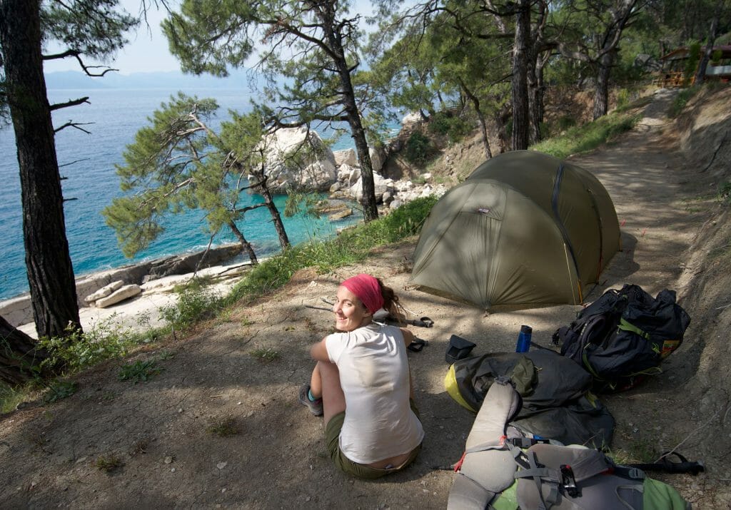
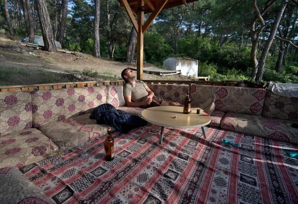
Late in the afternoon, we stop at the first campsite we come across. It’s called Aktaş Beach Camping, but unfortunately it has since closed for good. You’ll easily find other campsites before it, in Faralya (Seyir Tepesi), and after it, near Kabak beach (Kabak Famous Camping). We pitch our tent for 35 TL/person. We’d have paid that just for the shower ;). Right above our tent, there are also comfortable platforms covered in cushions with a sea view, perfect for sipping a beer at sunset in complete peace ;). The food at the small Rups restaurant is also delicious.
Day 3: Kabak – Alinca
Day 3 at a glance
- Distance: 10.4 km
- Elevation: +978 m, -272 m
- Difficulty: moderate
- Duration: 5-6 h
Kabak and its lovely beach
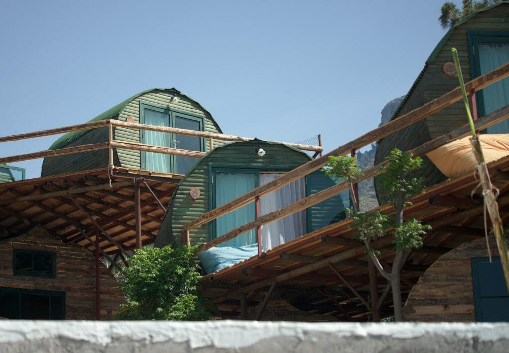
This morning, we’re feeling refreshed! It did us good to arrive a bit earlier the day before, get a shower, and have time to rest. We continue along the coastal trail toward the village of Kabak, which overlooks a pretty beach 200 m below. There are mostly hotels on the heights of Kabak, and we find ourselves wondering how they managed to fit so many bungalows on such a steep slope.
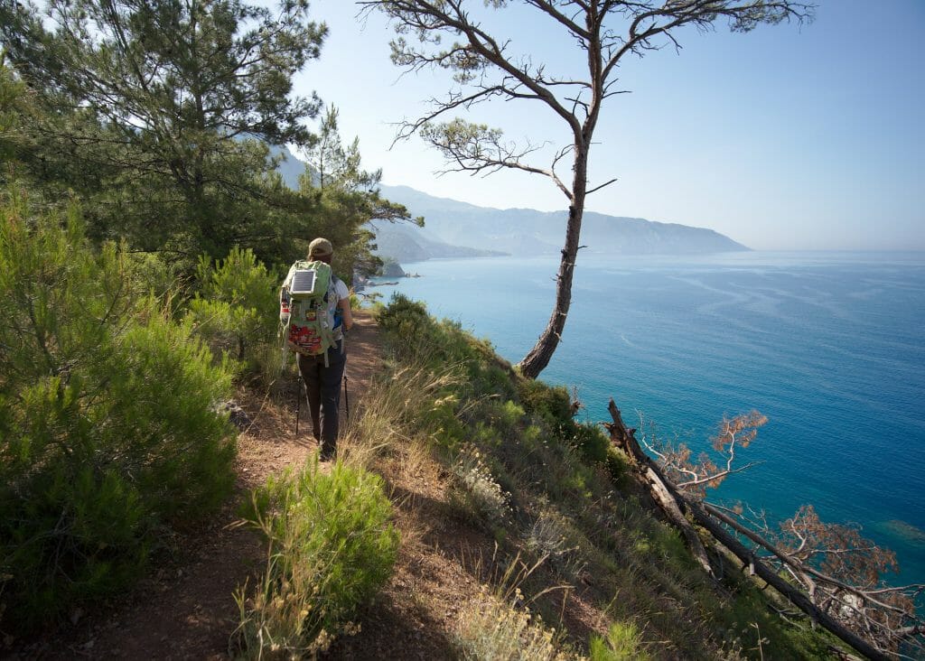
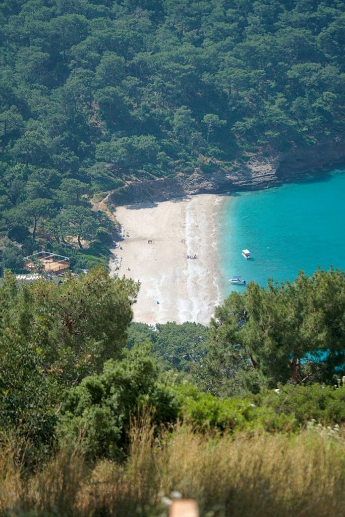
We head down to the beach, which is indeed quite pretty. The vibe here is a bit “boho-hippie,” and I have to say, that’s not really our cup of tea. I’ll spare you the details, but we also lost 2 hours at the beach because I thought I’d lost (or had stolen) my phone. In the end, it had simply slipped into the back of my backpack ;). Anyway, after changing all my passwords and nearly locking my SIM card, my phone magically turned up in my pack while we were walking. What a relief!
Originally, we’d planned to catch a dolmuş from Kabak to skip a section of the Lycian Way. We would have headed to Kalkan to hike 3–4 more days on to Kaş. But we realized this option would eat up an entire day on buses. Since there’s no direct road, we would have had to go back to Fethiye first, then on to Kalkan. Finding that a bit silly, we changed our plans again at the last minute. So we continue walking toward Alinca.
Alinca
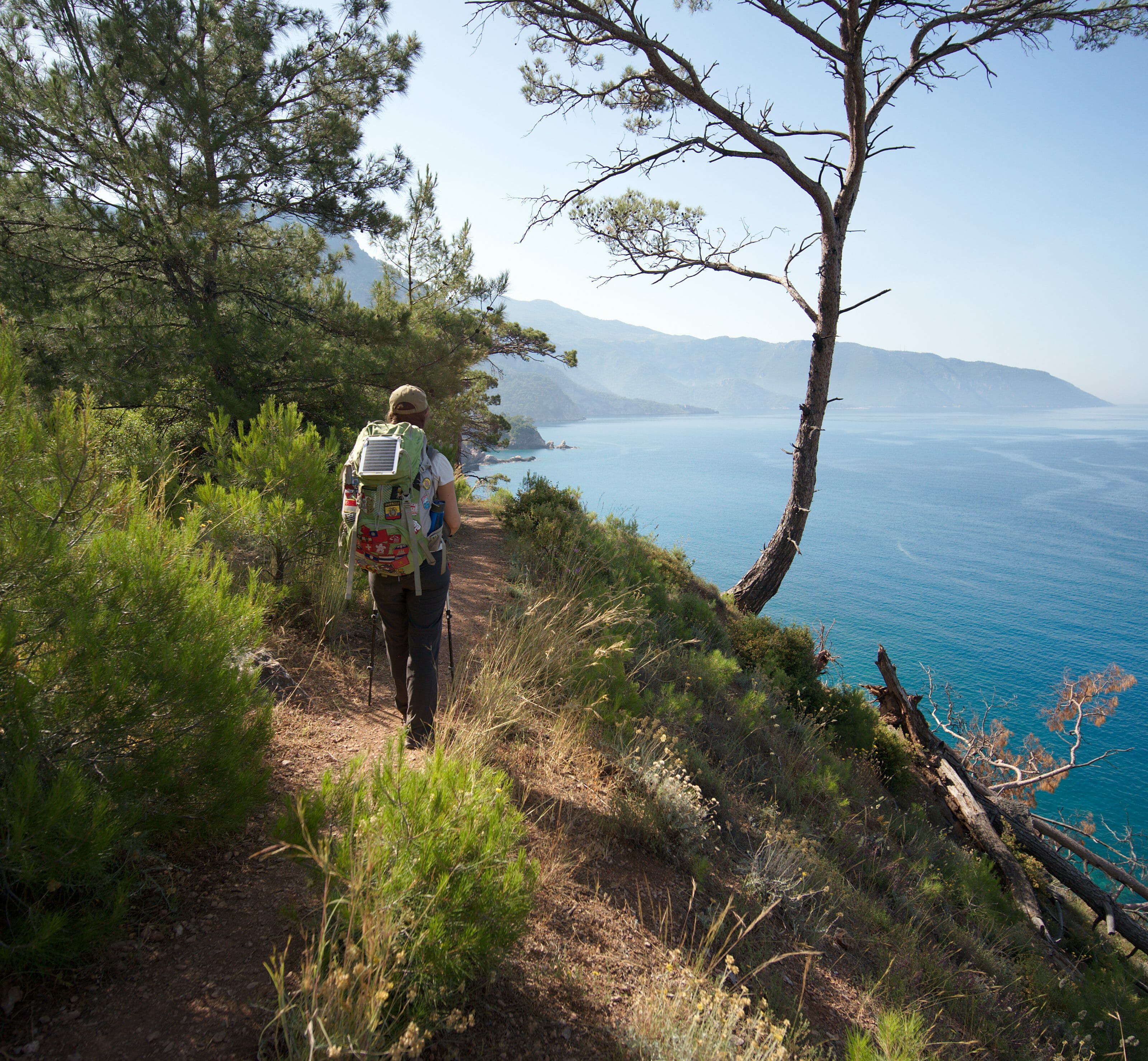
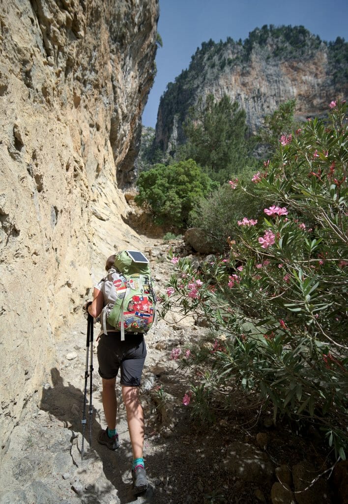
From Kabak, we tackle a nice little climb of nearly 800 m starting from the beach and leading up to the village of Alinca. Honestly, this climb turned out to be one of our favorite parts of these few days (along with our camp spot on day 1 and the view over the Butterfly Valley). We climb calmly in the shade of the pines, with often spectacular views over Kabak Bay below. Even though it’s hot, the climb goes smoothly, and we’re much less in the red zone than on day 1 after Ölüdeniz. We reach the village of Alinca after about 3 hours 30 minutes of climbing.
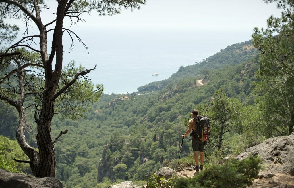
The atmosphere in Alinca is nothing like Kabak’s. Since the two villages aren’t connected by a road, reaching Alinca by car requires a detour of several hours. So there are no tourists here, aside from the occasional passing hiker. To give you an idea, we ran into fewer than ten hikers over 6 days!
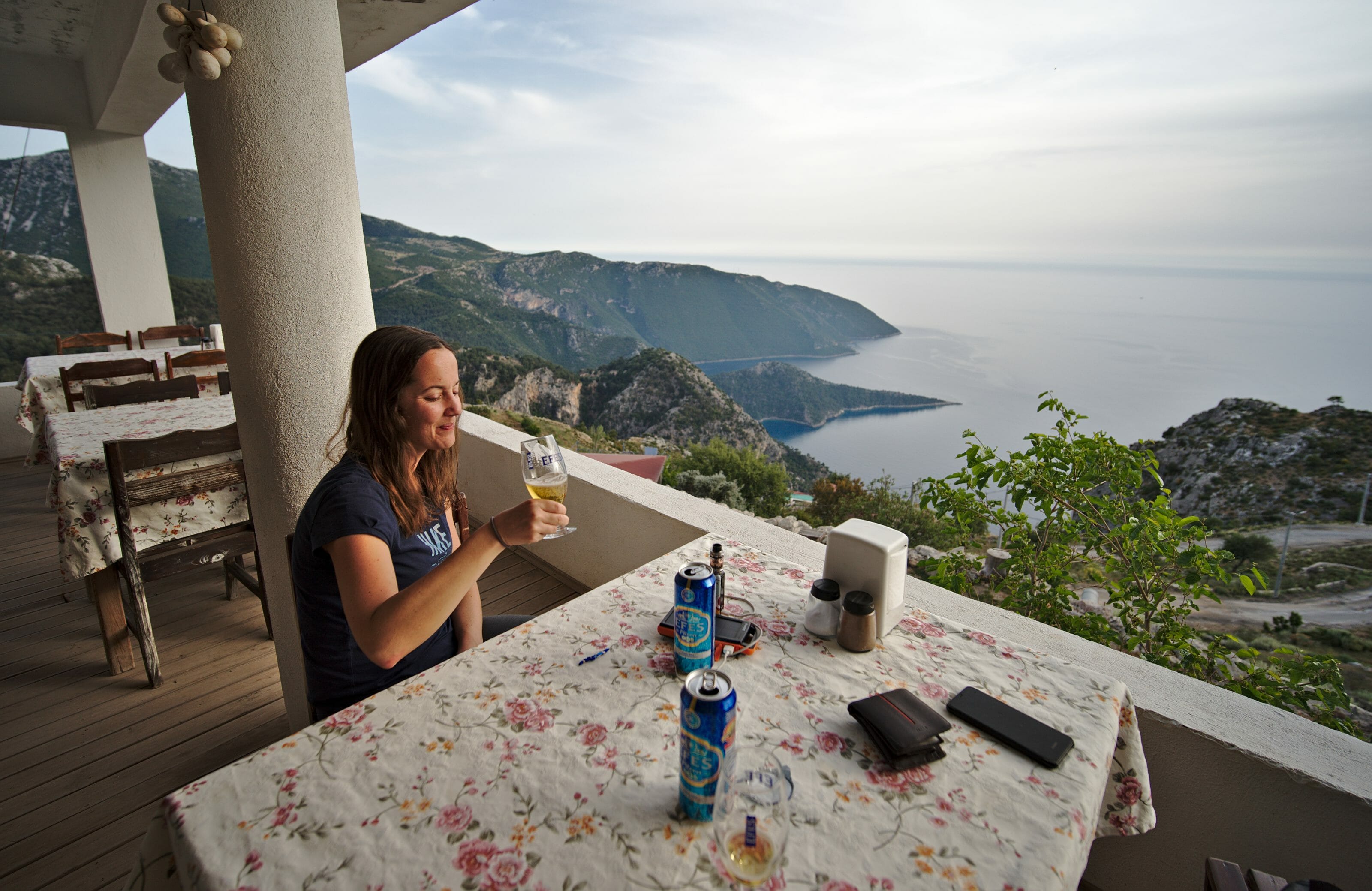
We’re greeted in the village by a young boy who surprises us with his excellent English. He immediately offers us a room at his mother’s guesthouse (Bayram’s Place / Pension & Restaurant) for 250 TL for the two of us, including dinner and breakfast. Since we have nothing against sleeping in a bed tonight, we accept. After a good shower, we settle onto the little terrace of the house for a well-earned beer before being served a delicious meal, with starter, main, and dessert. A feast like that with a view, a shower, and a good bed for €36. No doubt about it, we don’t regret our choice ;).
Day 4: Alinca – Bel
Day 4 at a glance
- Distance: 16.6 km
- Elevation: +600 m, -706 m
- Difficulty: moderate
- Duration: about 6-7 h
Gey
We wake up early and head back to our guesthouse’s lovely terrace for breakfast. After the previous night’s massive dinner, we’re not even particularly hungry, to be honest. But before we know it, we find ourselves sitting down to a real feast! Bread, cheese, sausages, hard-boiled eggs, vegetables, olives, yogurt, and of course the famous chai tea :).
So it’s with our stomachs a bit heavier than expected that we set off around 8:30 am toward Gey. The day starts with a little dip down into the valley below Alinca, before climbing gently back up to this small hamlet.
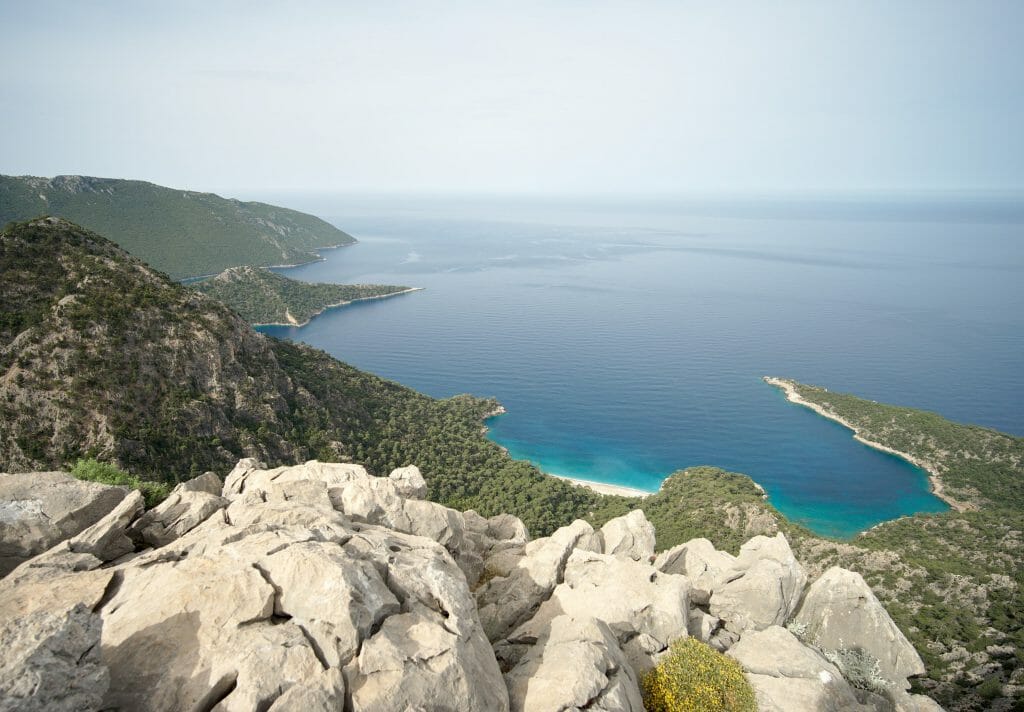
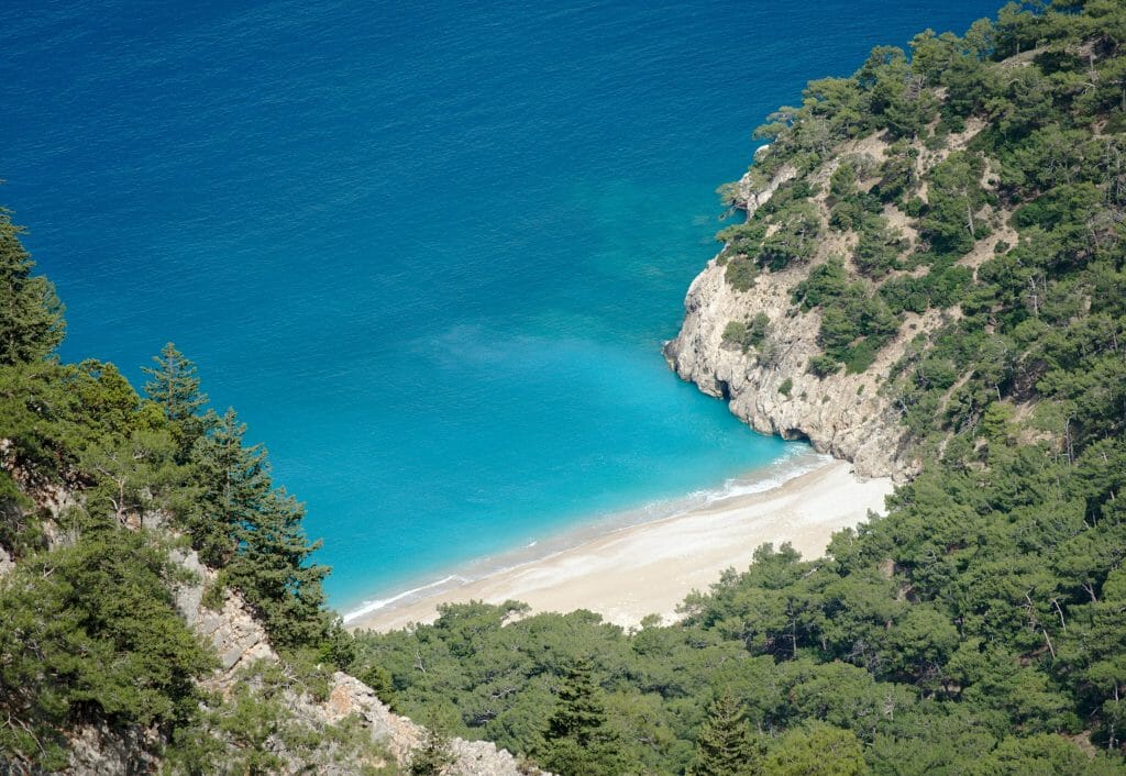
The view throughout the descent is spectacular, but this May heat is really starting to get to us. Just before our lunch break, we’re glad to start spotting the minaret of Gey’s mosque, our first stopping point of the day.
Gey is a tiny little village, but we’d read there’s a small grocery store. Our plan is to restock a bit, and we’re secretly hoping to find some fruit or vegetables there. Well, we quickly gave up on that idea. The store is indeed there, but the selection is VERY basic. Packets of biscuits and a few canned goods, and that’s about it. So it’s with a can of yaprak sarma that we hit the road again. I’ll let you watch the video at the top of this article to see us “enjoying” this delicacy ;).
Bel
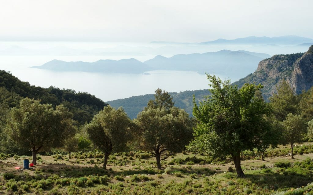
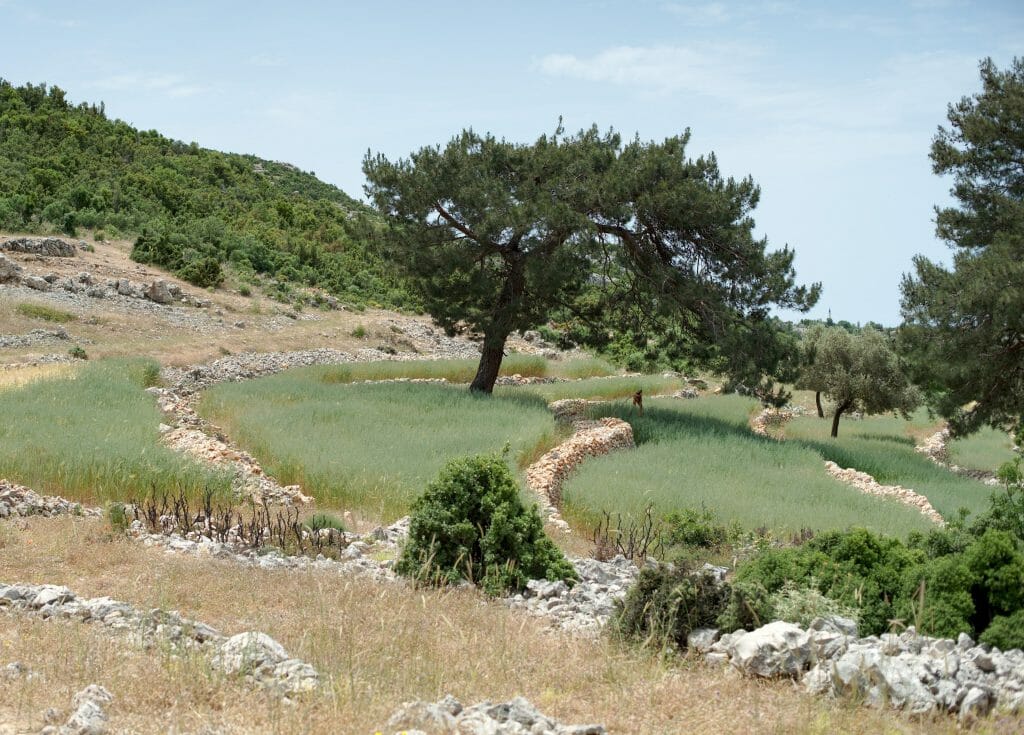
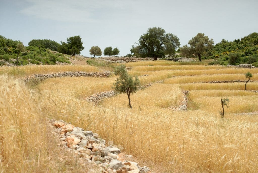
Once refueled, we resume our walk toward the small hamlet of Bel. This stretch of the route is lovely! We follow the coast along the high ground, with some gorgeous viewpoints, and above all, we’re right in the middle of terraced olive groves!
Initially, we’d planned to stop only at Bel for this leg. The village isn’t very big, but there are several guesthouses and the option of staying with locals. In fact, several people stopped us to offer a place to stay. But since it isn’t even 4 p.m. yet, we decide to keep going a bit further, secretly hoping to find another great wild camping spot.
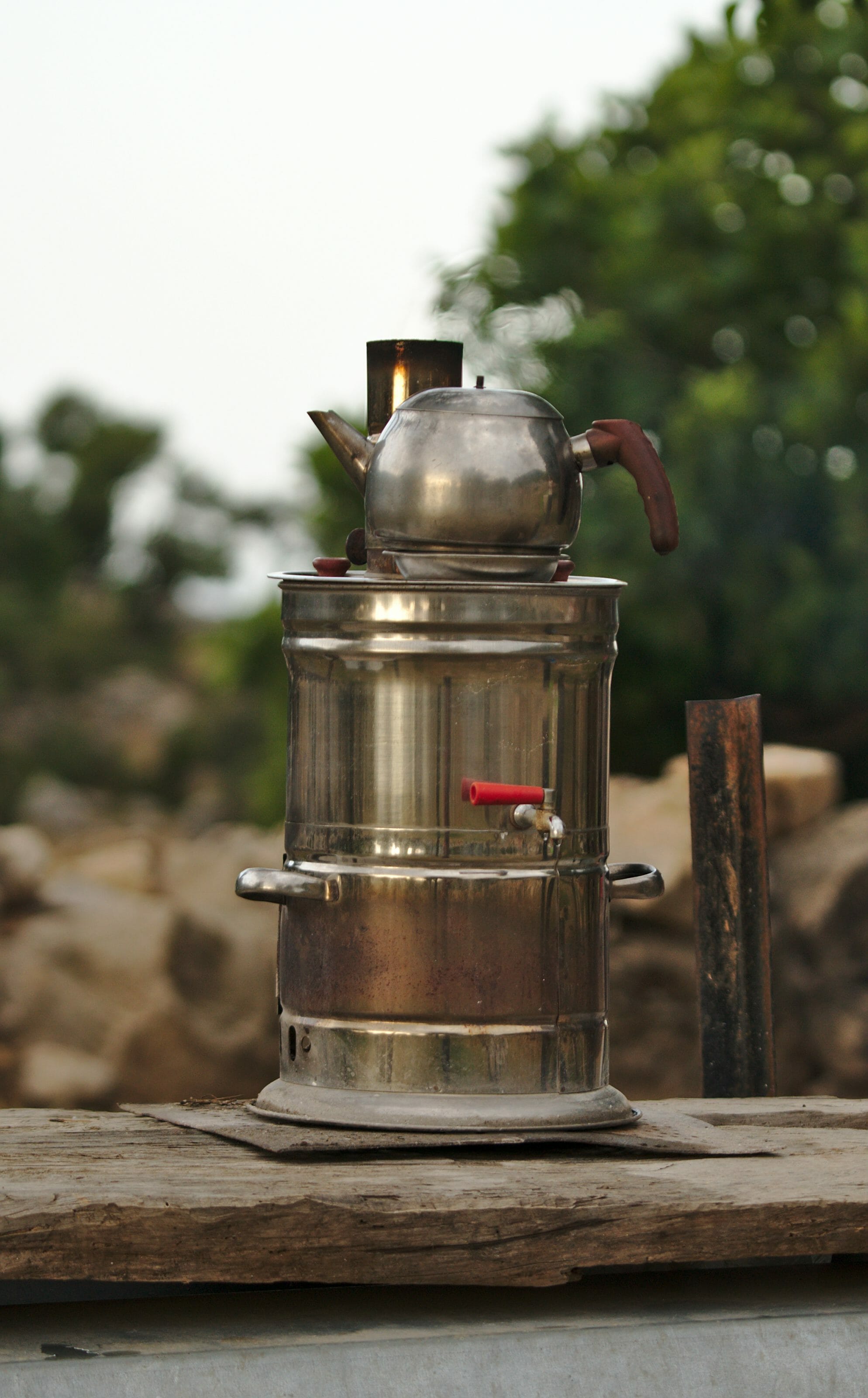
Turkish hospitality
From Bel, we continue a bit along the road before turning off onto a track, still following the official Lycian Way. About 3.5 km past Bel, we come across a small house. Two men are sitting out front, watching over a large flock of goats and sheep.
A small sign advertises chai tea for hikers at 1 TL (about 15 cents). We’ve barely reached the sign when one of the men leaps out of his chair with a broad smile and approaches us. “Chai? Chai?” We don’t hesitate for long and figure a little break will do us good. Let’s just say we won’t be going any further that day.
The man doesn’t speak a word of English, and our Turkish is still limited to about 15 words. It’s hard to explain, but this man seemed to feel it was his mission to make conversation with us. We talk with our hands, act things out, show him photos of Switzerland and Turkey, and take a few pictures with him and his lambs. In Turkey, we’d gotten into the habit of using Google Translate to communicate, but when there’s no signal, you’re back to charades! At one point, through the gestures, we understand he wants to know where we’re sleeping tonight. We show him a photo of our tent, and right away he gestures for us to stay at his place.
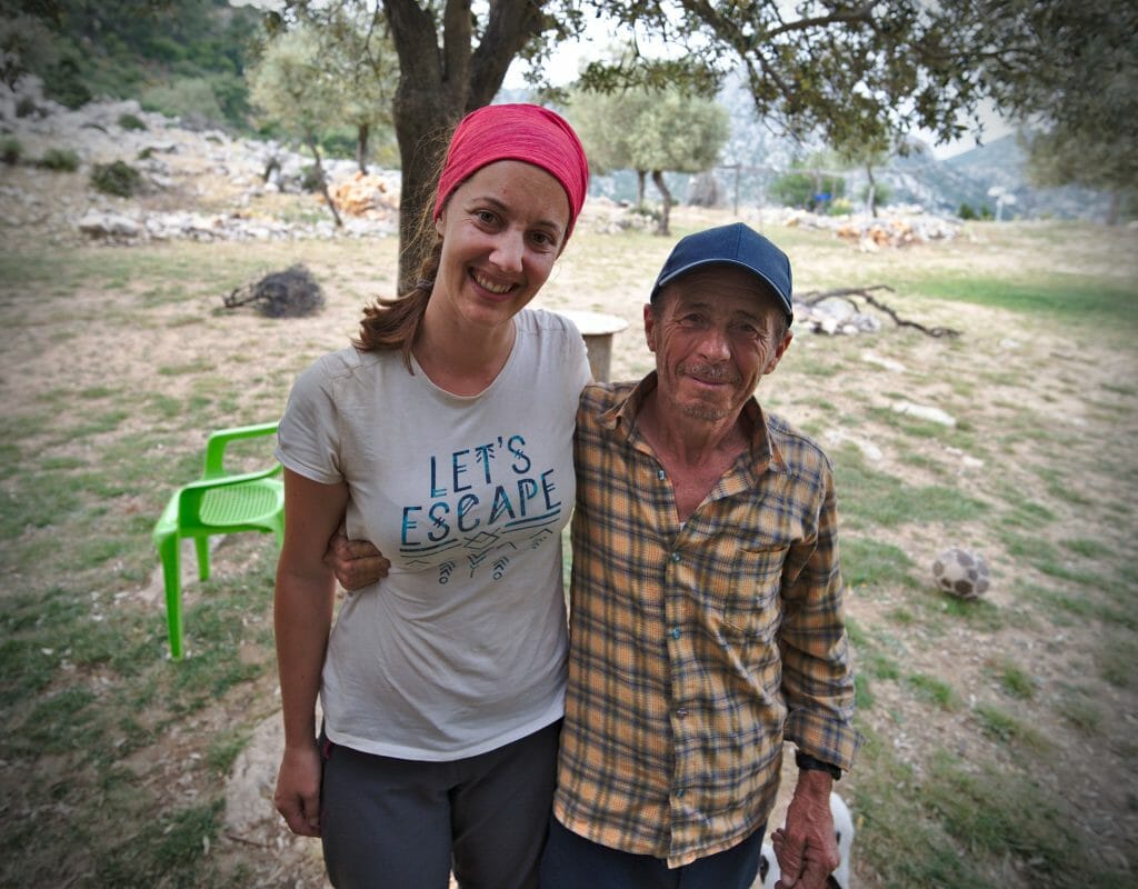
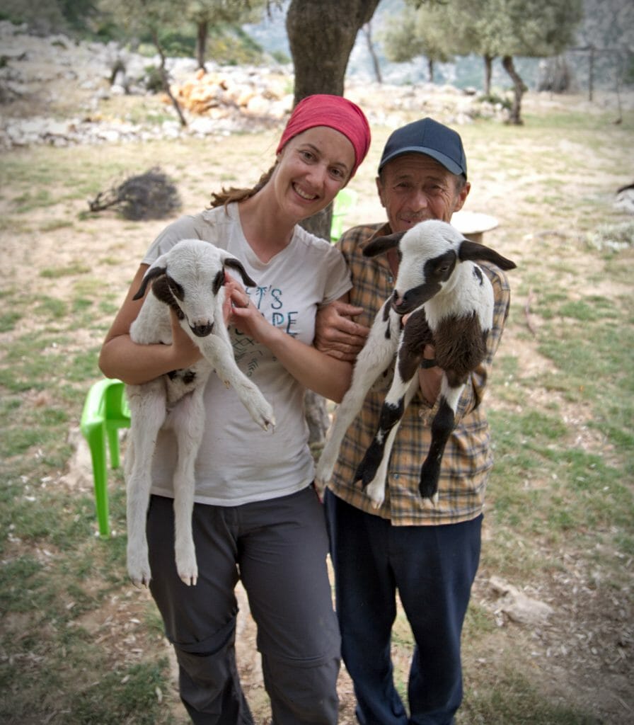
He’s built a big platform in his yard and tells us to set up there for the night, free of charge, of course. Faced with such kindness, we can’t refuse! At nightfall, he heads off with his son to round up the animals, and once his wife joins them, they head back to the village of Bel together. From what we understood, the family actually lives in the village but comes out here every day to tend the animals and to check on the grandfather, who lives here alone, without running water or electricity.
Day 5: Bel – the huge beach of Patara
Day 5 at a glance
- Distance: 10.73 km
- Elevation: +283 m, -917 m
- Difficulty: moderate
- Duration: 4.5-5 h
The next morning, we’re woken up by the chickens (or rather the roosters) and goats already gathered around our tent. The wife of the man we met the day before comes back to prepare us an unforgettable breakfast: good chai tea and a gözleme cooked over an open fire.
Gavurağılı
With full bellies and lovely memories of this last evening, we set off again. This is the final big descent of the trek: 600 m of elevation loss to reach Gavurağılı. The start of the descent is quite steep in places, but the trail is perfectly marked and well maintained. We reach the coast without any trouble at all.
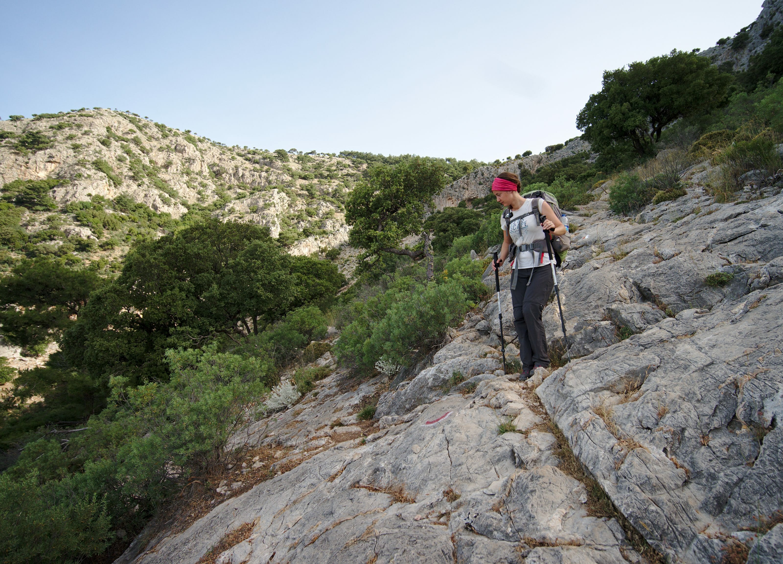
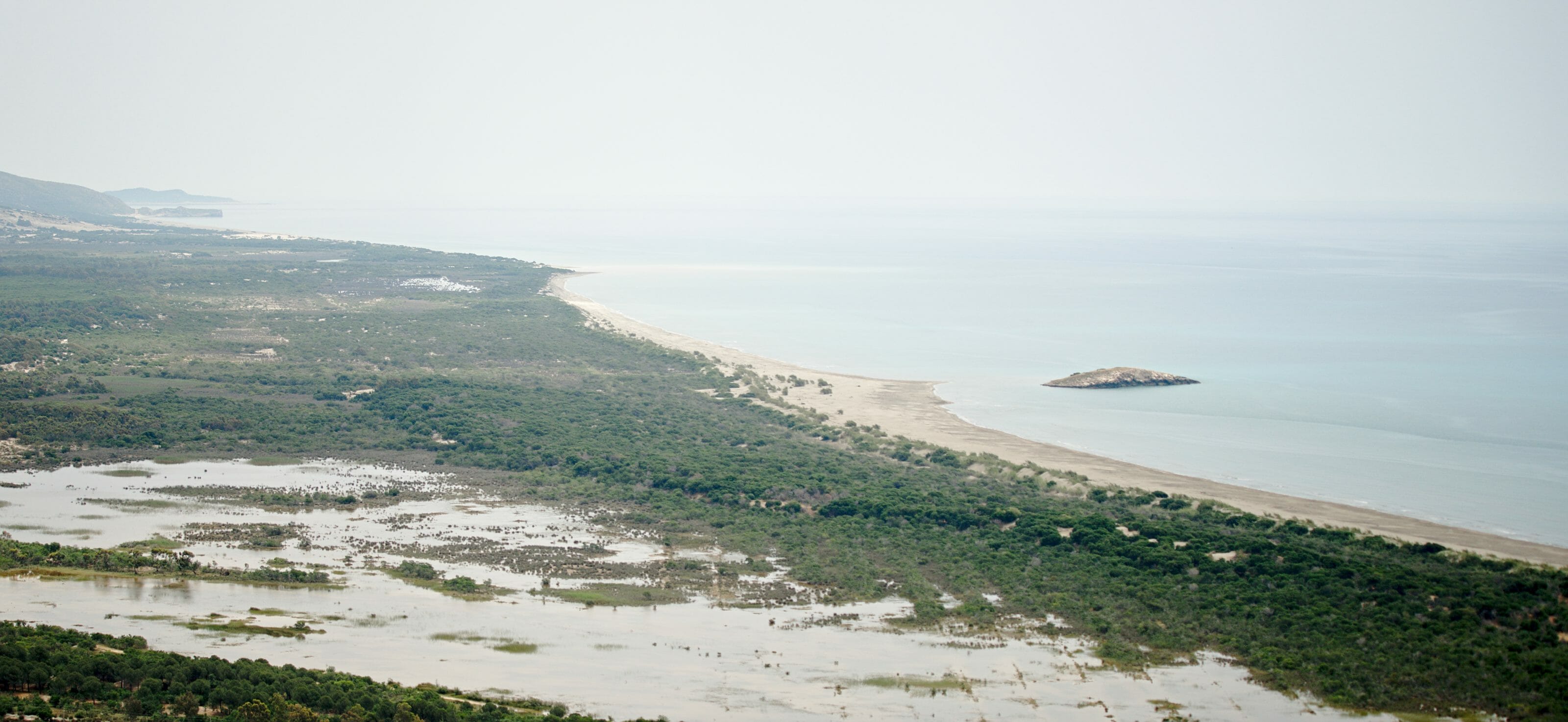
The rest of the hike isn’t necessarily the most exciting part. For a good hour, we follow a wide track climbing toward a viewpoint over Patara Beach.
It’s right during the hottest part of the day, and we genuinely feel like we’re melting on the spot.
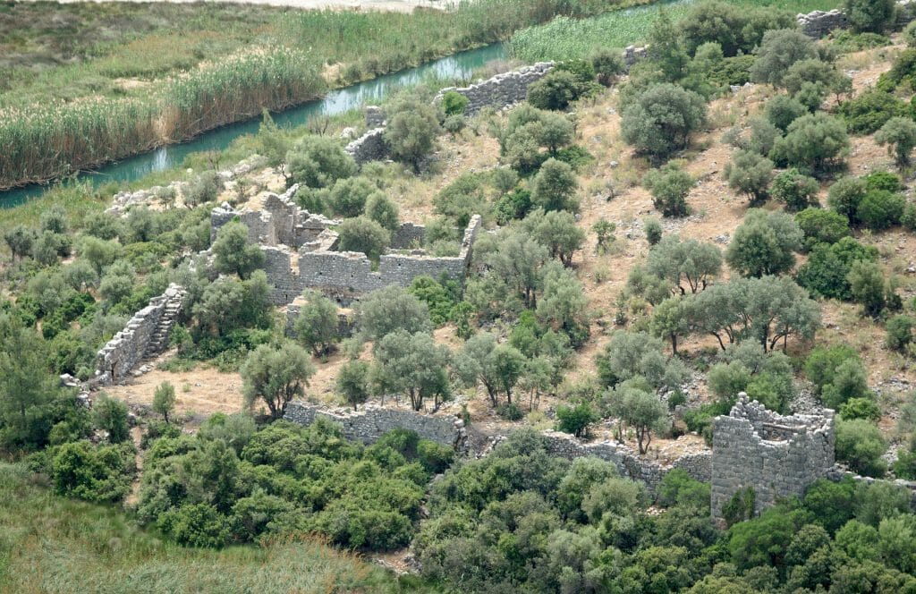
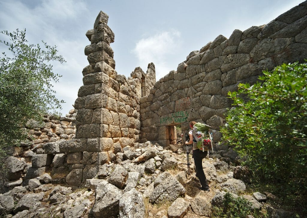
Ruins of Pydnai
Once at the viewpoint, we head back down through a lovely forest trail and reach the ruins of Pydnai (Pyandai – Kyandai). They sit just before the campsite at Patara beach. Funnily enough, the Lycian Way literally cuts straight through these ruins, entering through a small gate at one end of the site.

Patara Beach
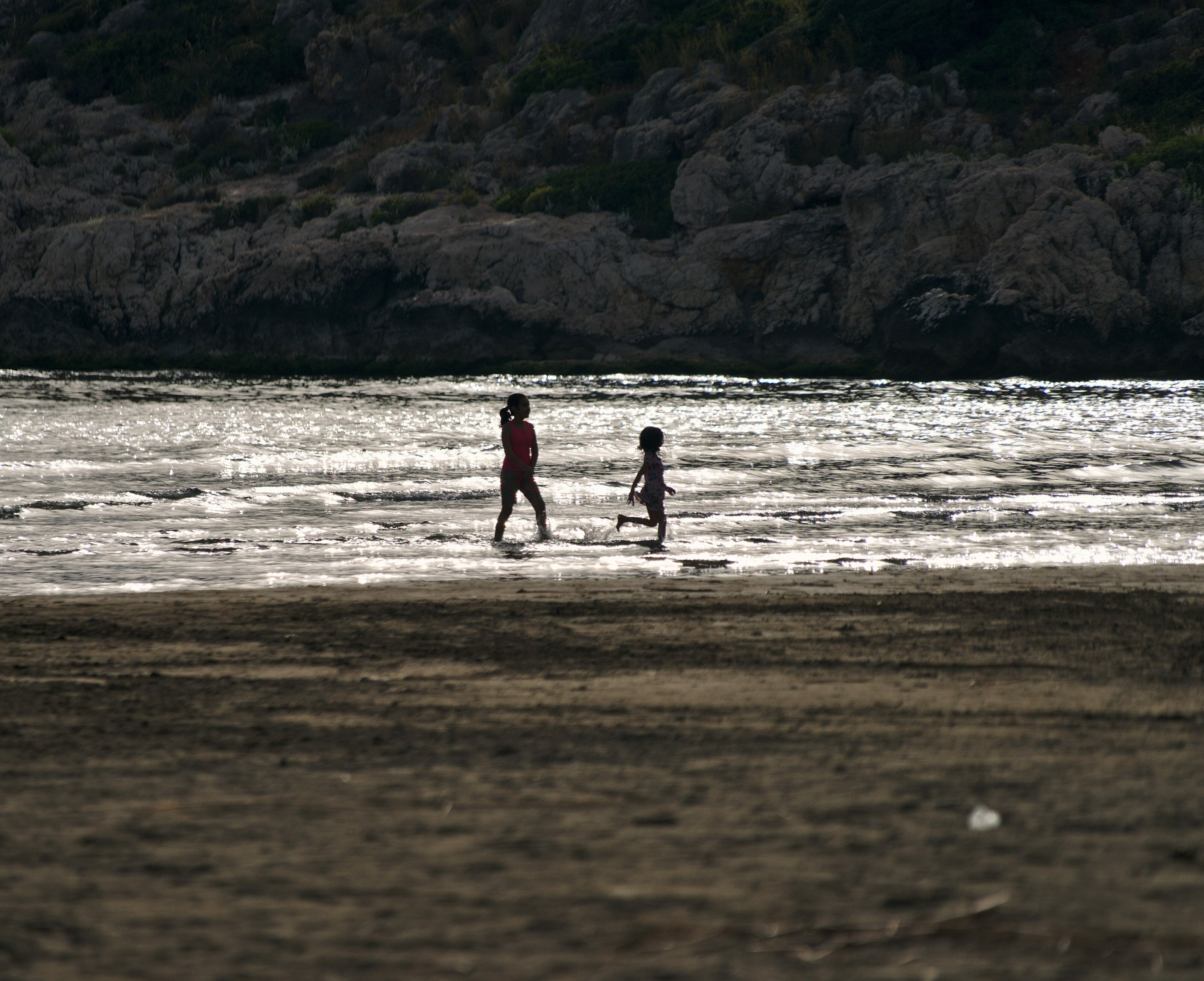
Once at the campsite, we have a very serious agenda: a shower and rest! Sprawled out on big cushions, we enjoy a well-earned Efes beer and spend the afternoon doing absolutely nothing! 🙂
Day 6: Visiting the ancient cities on the Lycian Way
This morning we decide to be lazy. Actually, I should say we choose to listen to reason rather than stubbornly keep walking :). Officially, the Lycian Way continues across the vast plain behind Patara beach, first reaching the ruins of Letoon, then the city of Xanthos.
The catch with today’s leg? It runs almost entirely on asphalt. Sure, it’s not a highway, but still. The prospect of walking nearly 15 km on tarmac in this heat, surrounded by tomato greenhouses, doesn’t exactly thrill us. And as luck would have it, plenty of dolmuşes run through the area and can easily get us to the sites without wearing ourselves out.
Ruins of Letoon
Visiting the ruins
We arrive early at the ruins of Letoon and, to our great surprise, we’re the only visitors. The huge parking lot is completely empty, and even the man who’s supposed to sell tickets is nowhere to be found.
We’re quite surprised, since this site has been a UNESCO World Heritage Site since 1988! That label usually goes hand in hand with heritage protection (not always, mind you, looking at you, Pamukkale), as well as crowds. Apparently not here, though! Which, of course, doesn’t bother us one bit :).
For a bit of history: the Letoon site was once the religious and political center of Lycia. Excavations suggest construction began as early as the 7th century BC. The heart of the site consists of the ruins of 3 temples, built in honor of Apollo, Leto, and Artemis. According to legend, Zeus and the goddess Leto gave birth to twins, Artemis and Apollo, in Lycia.
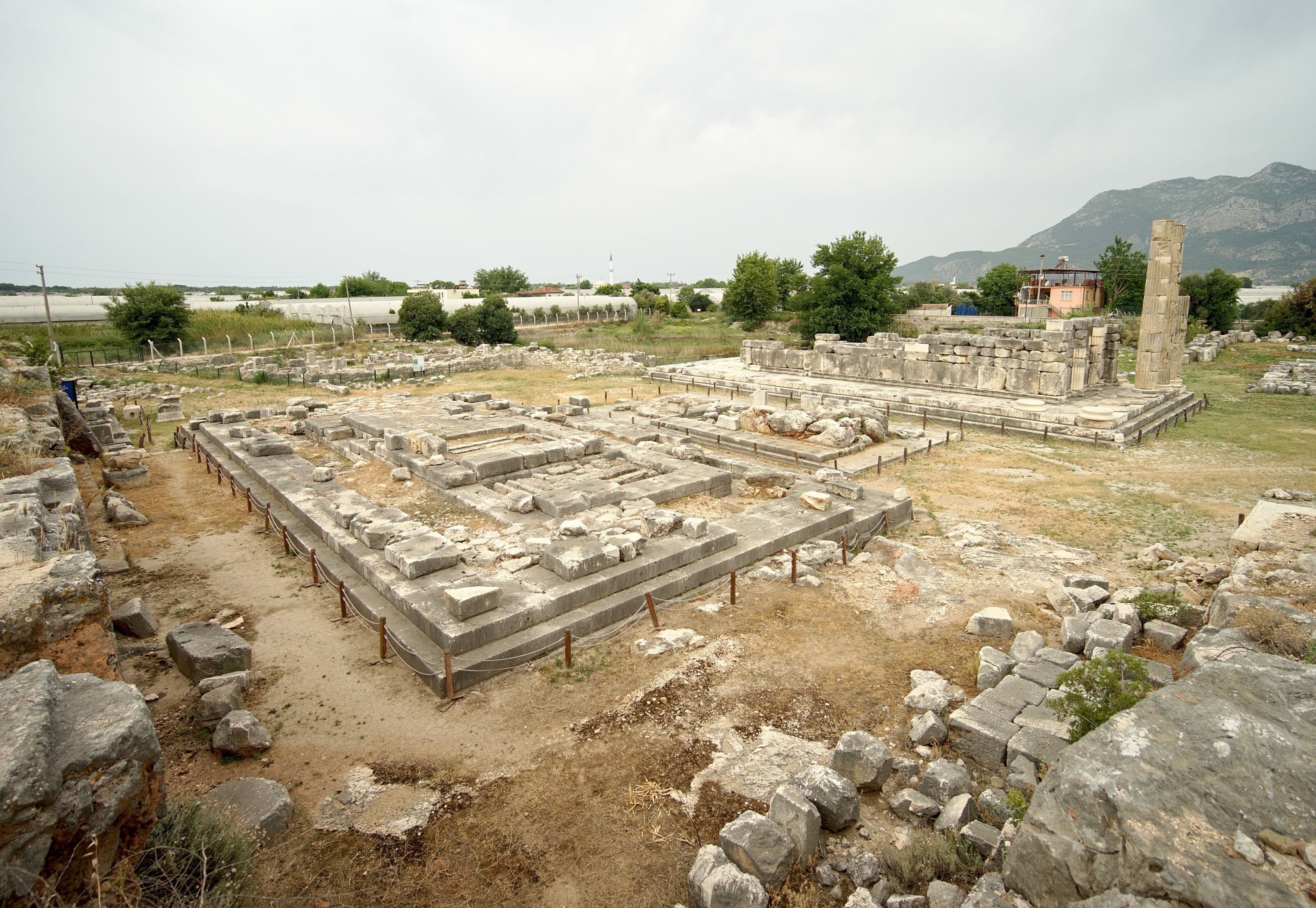
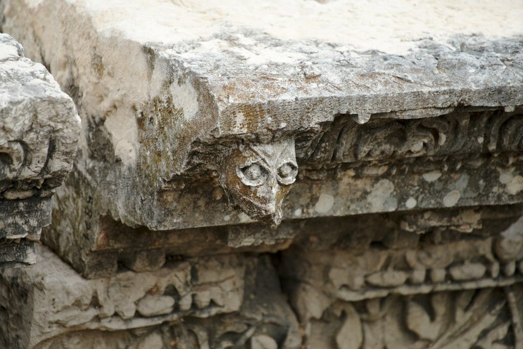
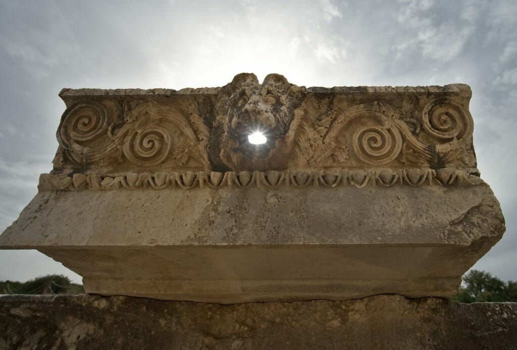
To be honest, though, the Letoon site is certainly ancient, but it’s not the most impressive one for novices in history and old stones like us. Not very large, few explanations, and little (if any) restoration work on the site. Of the 3 temples, there really isn’t much left. I’m not telling you to skip it, but let’s say it’s a pleasant stop for hikers. I wouldn’t necessarily recommend taking a 2-hour bus ride from Kaş or Fethiye just to see it, unless you’re a real enthusiast of history and Lycian civilization ;).
Practical info
- Opening hours: 9 a.m. to 8 p.m., every day.
- Getting to Letoon:
- On foot: the ruins are 5 km from the campsite.
- By bus: a bus stop is about a 1 km walk from the campsite. Ask the campsite for the schedule; buses run roughly every 45 minutes. Expect 3.5 TL per person. The bus drops you at the junction for Letoon. From there, walk about 1 km to the ruins.
- Admission: tickets officially cost 70 TL per person; entry is free with the MuseumPass (check the terms on the official website).
Xanthos, the cradle of Lycian civilization
After Letoon, we head toward another UNESCO World Heritage Site, Xanthos. Located just a few kilometers from Letoon, it’s almost unthinkable to be in the area without stopping to see the ancient capital of Lycia.
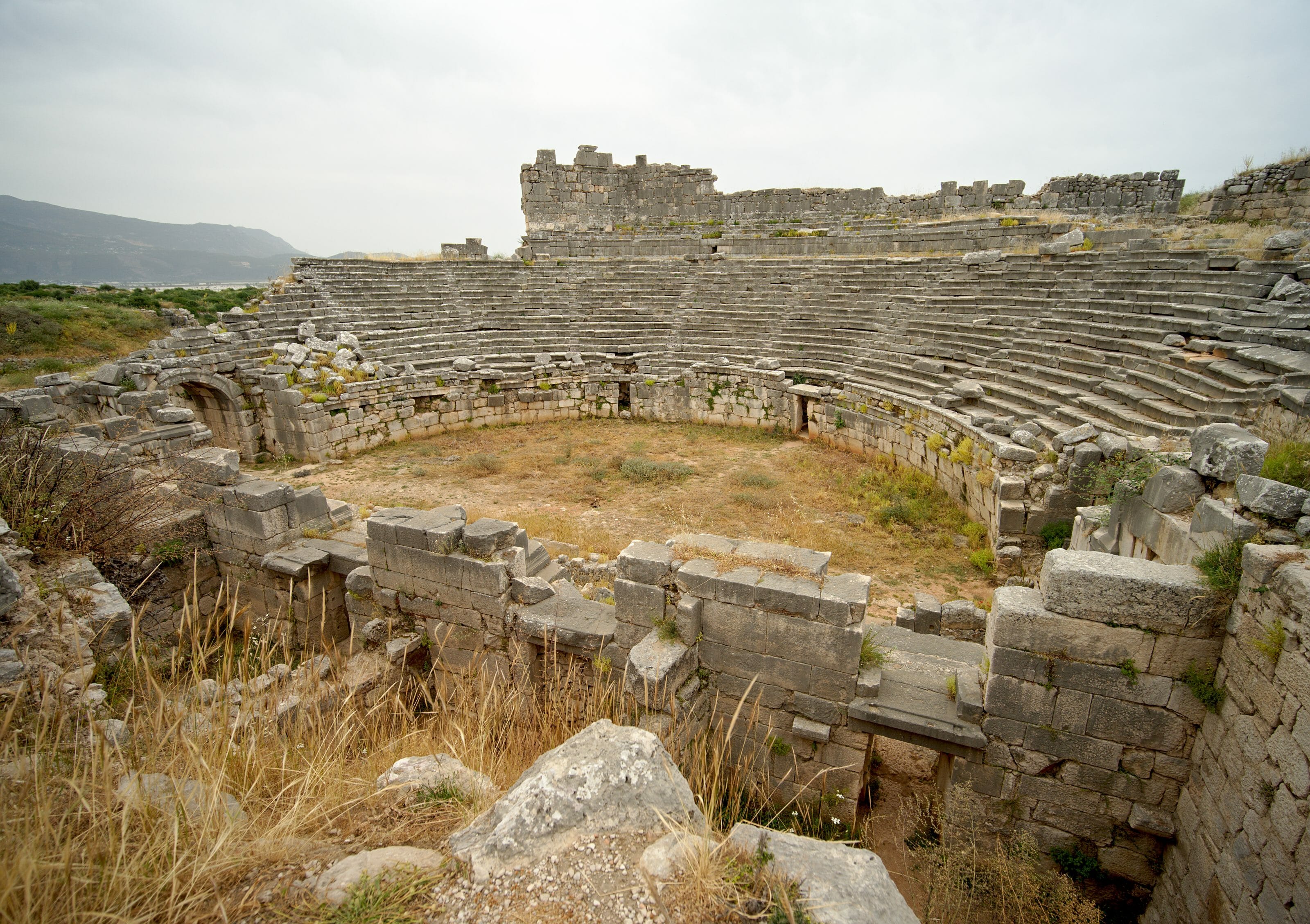
Visiting the ancient Lycian capital
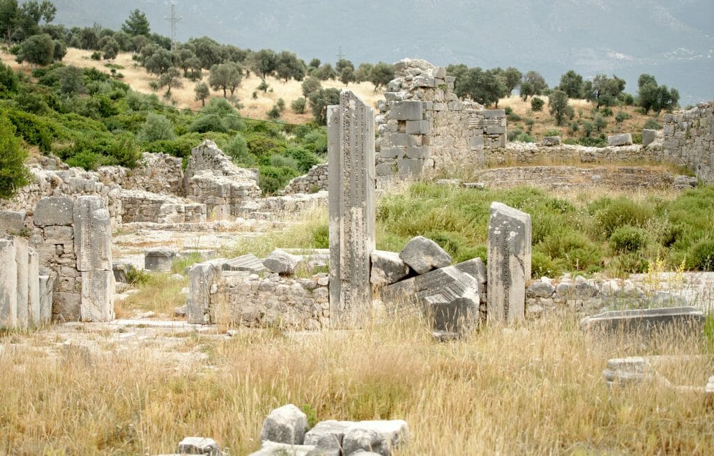
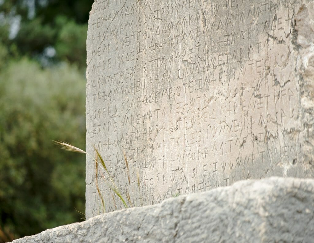
We may not have become history experts on the walk over from Letoon, but we definitely preferred this second site to the first. At Xanthos, the various structures are even more visible (or better restored?), and it’s much easier to make out the different Greek, Roman, Lycian, and Persian influences.
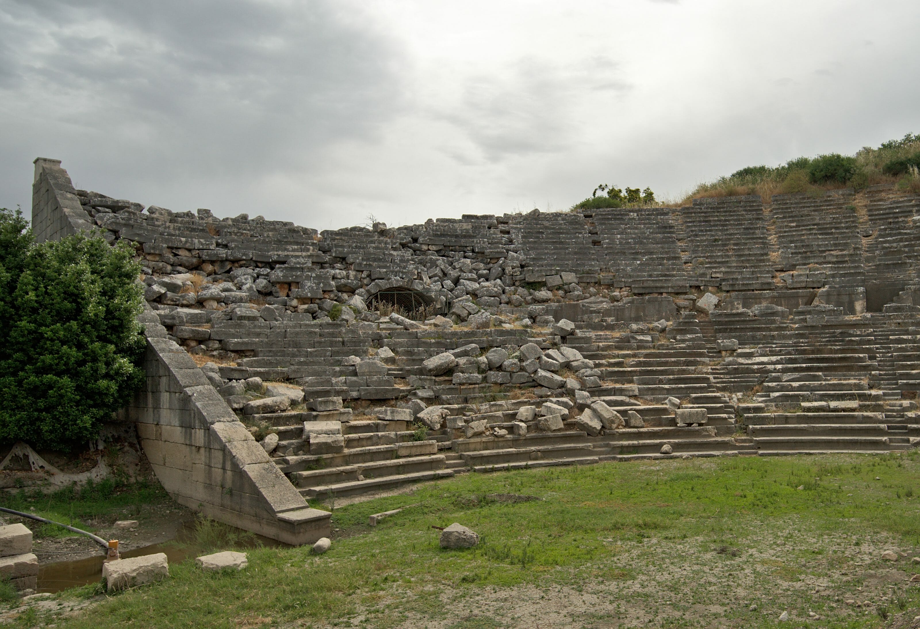
The amphitheater at Xanthos isn’t as impressive as the one at Hierapolis or the ruins of Ephesus, but it’s still got plenty of character. We certainly didn’t catch all the finer details of the site (again, the information panels were pretty sparse), but we thoroughly enjoyed the visit!
Practical info
- Opening hours: every day from 8 a.m. to 8 p.m.
- Getting to Xanthos: from Letoon, we went back to the stop where we’d been dropped off. From there, we took the first bus heading to Kınık. Buses run frequently; expect 5 TL per person. From the bus stop in Kınık, at the bridge, it’s about a 1.3 km walk.
- Admission: tickets officially cost 70 TL per person; entry is free with the MuseumPass (check the terms on the official website).
- Leaving Kınık: at the bus station, plenty of buses depart for Kaş, Fethiye, and beyond.
Our take on these 6 days on the Lycian Way
STUNNING! We took in so much beauty, and we can only recommend this hike if you’re in the area. All told, the full route runs over 400 km, and over these 6 days (5 of walking and one day of visiting ruins), we covered “only” the first 70 kilometers. Needless to say, the rest of the route looks just as beautiful. We’ll clearly have to come back one day to hike another section.
We hope you enjoyed this hiking guide to the Lycian Way! See you soon for an article on the Fethiye and Kaş region, no hiking this time ;). To go further, we recommend this website, which lists about twenty short and long-distance hikes across Turkey.
P.S. — We’ve gathered all our tips into a practical guide for traveling in Turkey. Happy reading!
This article contains affiliate links to partner sites. When you use our links to book accommodation, a car, or an activity, you don’t pay anything extra, but we get a small commission. This helps us to offer you free, independent, and ad-free content. Thank you for your support!

What a great and informative article.
I am planning to take all the trail in 25 dyes; I don’t know, maybe LOL.
anyway, I want to thank you guys for this fantastic Blog
Glide you liked our blog posts… hope you’ll be able to do this amazing hike!
Hi! Thank you so much for this incredibly informative blog, has helped us do the Lycian way! Would just like to comment for other hikers, the beach at Faralya (Actas beach) is no longer a nice campground. Currently it is all being bulldozed and being made into a big resort. You can not stay there, and it is very difficult to get down to the beach with the construction and new paths, not worth it. The following beach (Tektas) you can camp at, but they are also doing developments there but it is not very nice (tress and bush getting pulled out). Try to continue on to ‘beautiful camp for 2ppl’ (which is not much further and an easy walk) or kabak. Very depressing to see these developments, and annoying after a big walk when all we wanted was to do was set up camp and relax!
-Lara and George
Hello Lara,
Thanks for your informative feedback and glad you found some useful infos here 😉 . It’s sad to read about all these developments… Not sure if we will ever gonna stop destroying places like these for “tourism”. Hopefully we will understand sooner than later. All the best
Awesome, thanks for sharing! I just have three nights, but will definetely plan to squeeze in a day hike after reading this!
Glad you liked it. Hope you’ll have fun on the lycian way trails 😉
Thank you! An overview is very well done, also plenty of useful information about how better to plan the hike. Planning to go there in autumn 🙂
Glad our blog posts were useful and hope you’ll like this hike as much as we did 😉
I saw that you wrote, Greek Orthodox left that town in 1923,
that’s sad, but it’s happened on both sides, because, also Turks in the Balkans are forced to leave their places.
with respect and love
more information:
https://en.wikipedia.org/wiki/Population_exchange_between_Greece_and_Turkey
“Convention Concerning the Exchange of Greek and Turkish Populations” signed at Lausanne, Switzerland, on 30 January 1923
I enjoyed this narration and the valuable information… I am planning to go there in the coming days and I have benefited a lot from the information that was presented… Thank you
Glad our infos could be helpful to you 🙂 . Have fun there 😉
Hi, great couples and informations!
Is it worth to go 3 days alone on the lycian ways while im a solo traveler?
Hi,
thanks for your message! Sure, why not?
In terms of safety I would not see any reason not to do it! It is not the most “famous” hike so I would not guarantee that you’ll meet many other hikers but it’s definitively a stunning experience. Enjoy!
Hello!
Thank you so much for this! It’s a nice, clear insightful guide with some useful info 🙂 We are thinking of doing the same route but I have one or two questions for now:
1) Is free camping legal in Turkey? Can you just camp respectfully anywhere along the way?
2) Is it easy enough to just continue hiking rather than stop at Kas?
3) When we run out of time (6 days), do you think it will be simple enough to just find access to the main road and return to a major city (Dalaman/Antalya)?
Hi,
Camping was fairly easy in this area. A few flat spots, friendly locals. We either camped in fully remote areas or if we were closer to houses, we simply asked and people always told us where we could set up a tent without issues.
We did not go all the way to Kas (we stopped at Patara beach), but yes, the trail is well marked all the way!
The road access will depend, but in Patara beach this was fairly easy. Small buses run from almost everywhere. It might take a few changes, but you should always be able to make it back to bigger towns within a few hours.
Enjoy your hike
Fabienne
update on prices, October 2024: we are staying at the same Artim Apart Hotel and it is costing us 2000 (two thousand) Turkish lira per night, about 61 euros.
thanks for the infos Judith… yeah prices changed completely since our hike as the inflation in Turkey is so high.